Madeley Creek FSR - "Callaghan Creek Branch 4"
Sea To Sky Natural Resource District
Distance
7.05 km
Last Road Report
Jul 20, 2026
Closures
No Posted Closures
Location
Madeley Creek FSR
Permit Holder
District Manager Squamish (dsq)
Waypoints
Distance
7.05 km
Avg. Gradient
0%
Ascent
0m
Descent
0m
Last Road Report
Jul 20, 2026
Closures
No Posted Closures
Location
Madeley Creek FSR
Permit Holder
District Manager Squamish (dsq)
Waypoints
Conditions
Start to 4.2 km
Good Condition
3d ago
4.2 to 7.0 km
Somewhat Degraded
1008d ago
Description
Gated after Madeley Lake (Powell Lake) year-round Seasonally gated by Whistler Olympic Park for x-country skiing
Road Bulletins
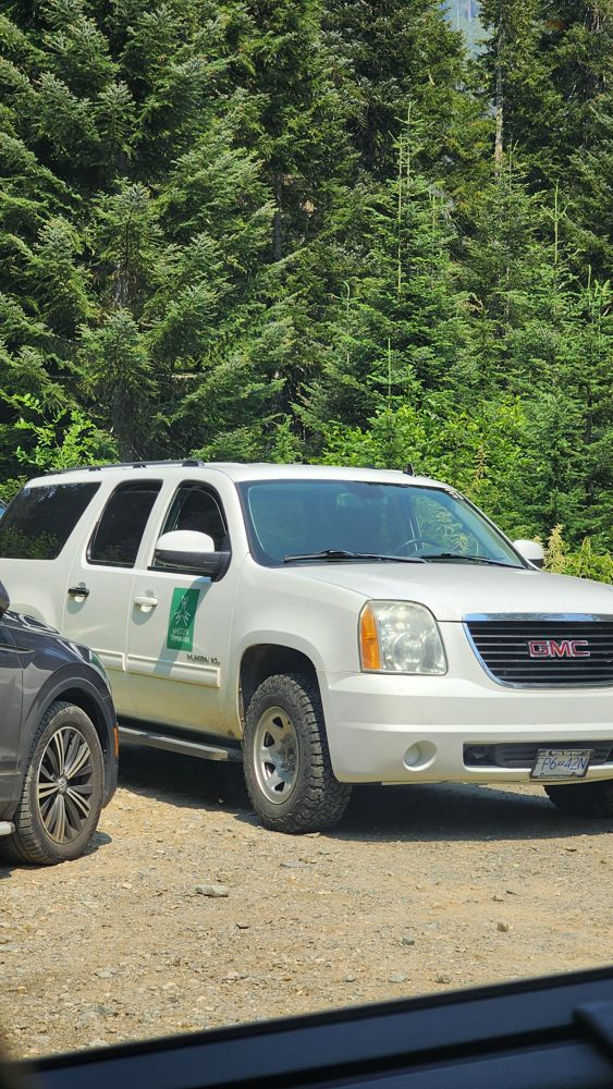
Ok condition. Some spots are rougher. I think the gate at 4.3 km was open as another SUV was coming out. However, a Whistler Olympic Park SUV parked there and blocked them in. I thought they were enforcing the closed gate at first. When I turned around and left, I saw in the rearview that they moved out of the way.
road in great condition, gated just after 4k at Rainbow Madeley trailhead