Road Bulletins
Impassable, trench has been dug into the road in front of the bridge alongside cement barriers
Robert Jakes - Jul 28, 2026Road is rough from 11 km to highway, flooding at (I believe?) 15 km and 8 km. 15 km flooding would likely stop some lower-riding vehicles.
Bridge i...
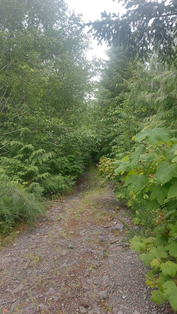
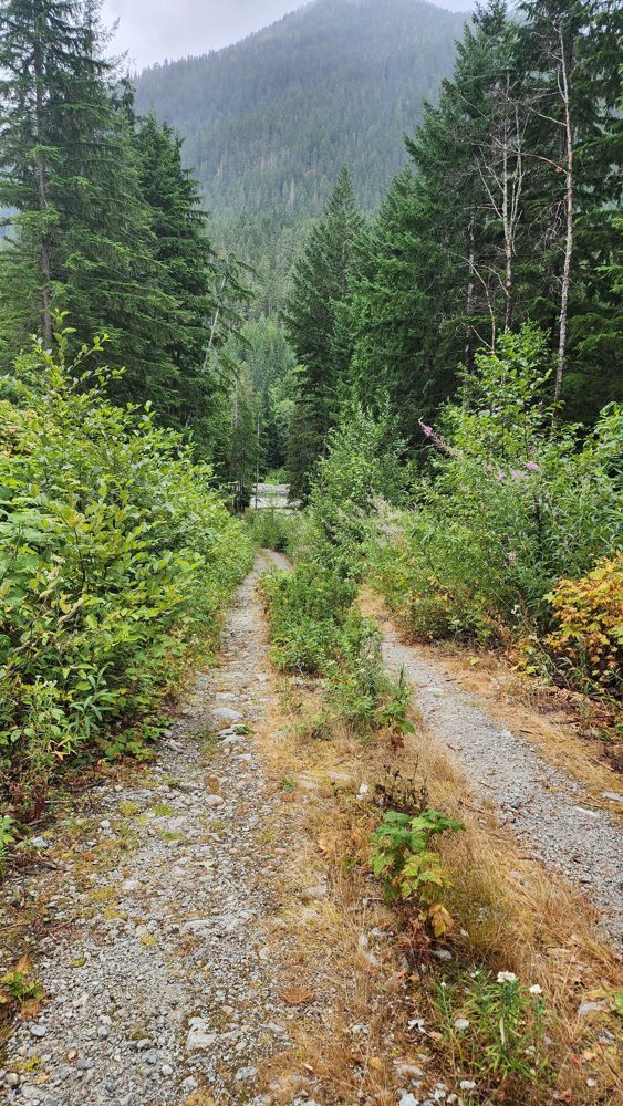
Drove along East Tahsis Main for 3.8km. Road surface generally in good condition, no waterbars. Very driveable, however road is overgrown with bushes ...
Joe John - Jul 11, 2026We biked through Little Elk Pass from Palliser-Albert rec (entered Cochran via obscured "Branch A", just beyond the first bridge in Cochran), and a la...
Adam Ess - Jul 18, 2026SILVER SANDS
1dCross ditched but drivable with 4x4 to power line. ATV only after powerline as road is deactivated and being used as access to snowmobile area.
Alan Smithee - Jul 15, 2026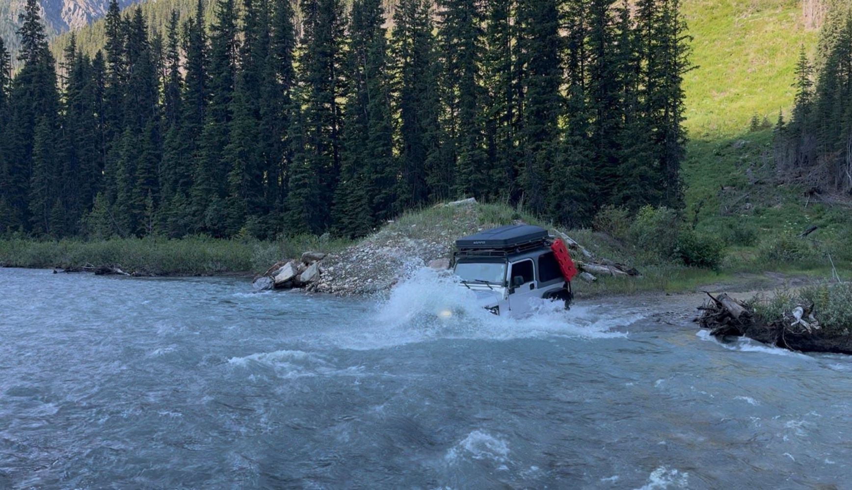
Road passes through a creek that has become quite deep, about 3.5-4.5ft deep. Snorkel recommended. Pic is of deepest part on the return
TJ Jeep - Jul 12, 2026Worse than Sts'ailes West FSR running parallel. Took this road on way back to Chilliwack. Sts'ailes West FSR was bumpy, but you can still go at a dece...
Gavin - Jul 26, 2026Looks like it's possibly for powerline access. Good condition. There was a tree down that was cut, but sticking out a bit.
Gavin - Jul 26, 2026Good condition to about halfway to the dam. Several water bars or drainage ditches with medium sized rocks for the creeks that will require medium cle...
Gavin - Jul 26, 2026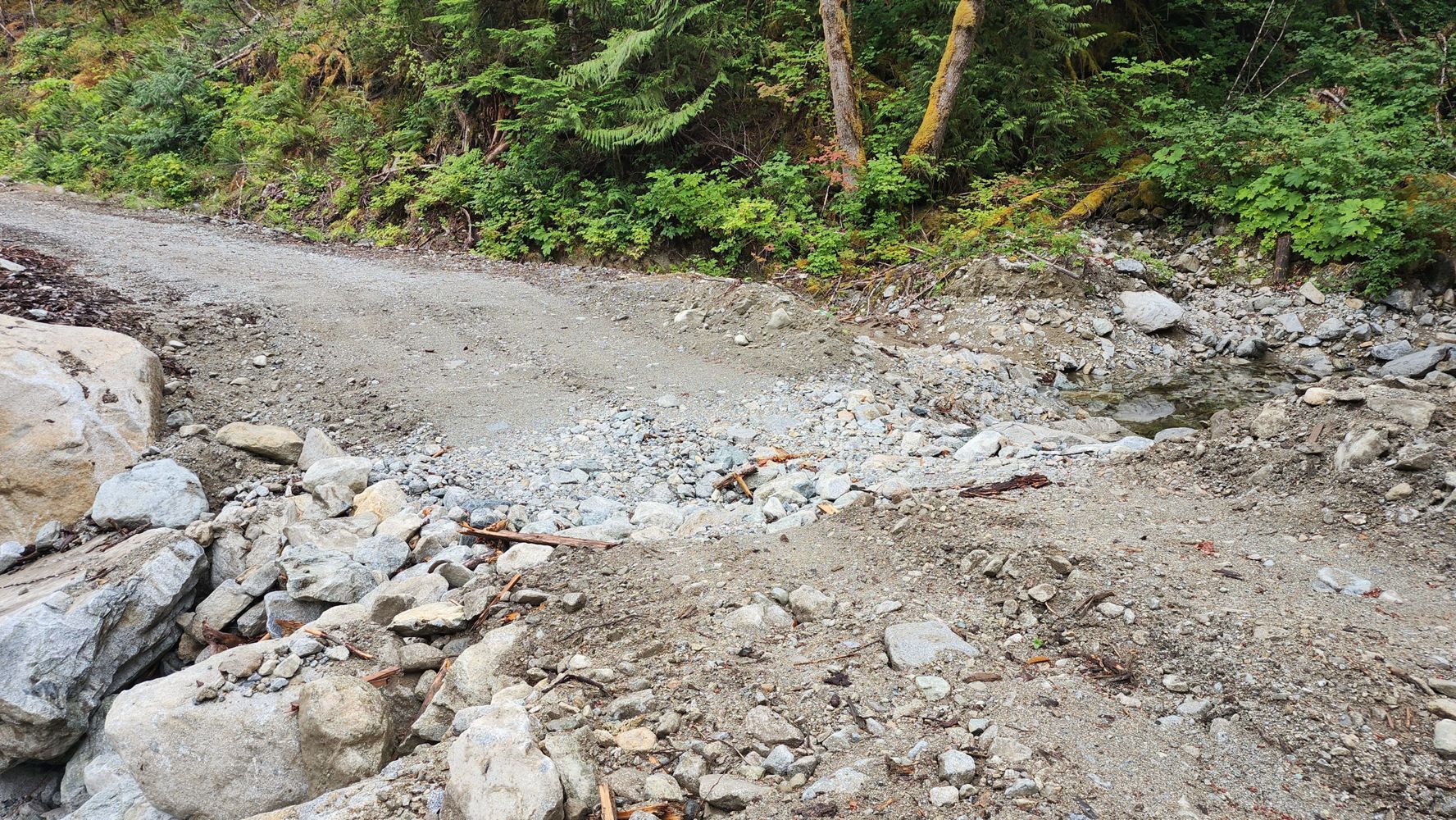
Great condition to 1 km gate. Sign after gate says "Private road. No trespassing. Violators will be prosecuted." I was told it was good condition to t...
Gavin - Jul 26, 2026A-600 Branch
2d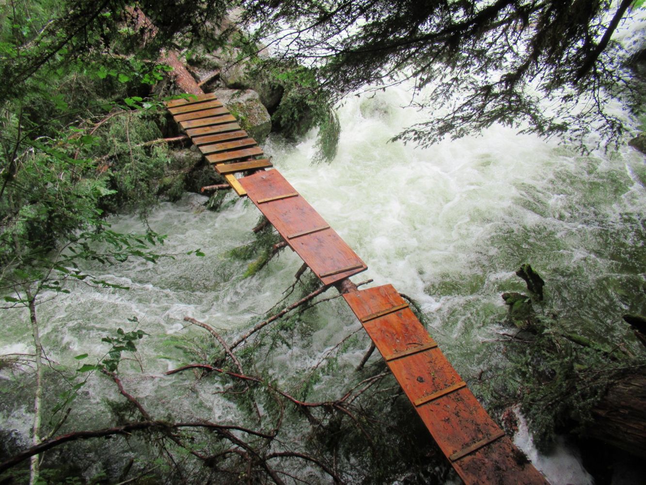
you have to park your car a little bit past the hydro station, the mine is still accessible past that if you hike, the trail is in fine condition but ...
Kit Fleming - Jul 26, 2026Road closed at ~ 6.3 km (immediately after Silver Skagit West Fork Spur) due to wildfire.
A security guard was present to enforce the closure.
Previous description is accurate. I updated the status of the washout at 2.5 km to "Heavily Degraded".
Kelly Wilson - Jul 25, 2026BOWLE-EVANS
2dGood condition, not comparable to other roads that reach the somewhat degraded description. Would be passable in 2wd without high clearance if taking ...
Jordan Bell - Jul 25, 2026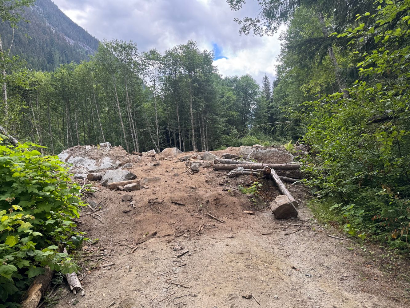
Once turning up Centre Creek the roadbed gets a bit eroded and loose, and there are a few moderate waterbars. The road bed actually gets better around...
Alex Barth - Jul 25, 2026Road is great but the gate was closed and locked.... Didn't encounter any logging operations but it was a Saturday
Michael Xueimel - Jul 25, 2026SM2
3dSame as the other roads to get here. The higher you go the better they get. Dirtbiked to 1550m and did Hansen from here.
Alan Blair - Jul 22, 2026SM1
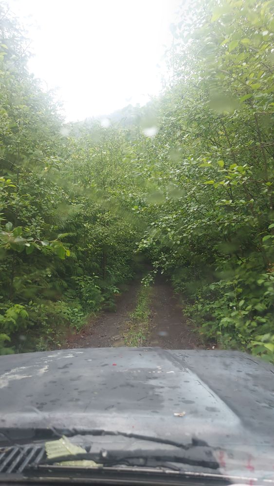
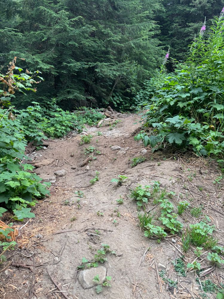
3dThe road was a miserable dirt bike ride on 125cc's. Quad people have cut fallen trees but the road is alder encroaching and basically riding in a cre...
Alan Blair - Jul 22, 2026SOWERBY
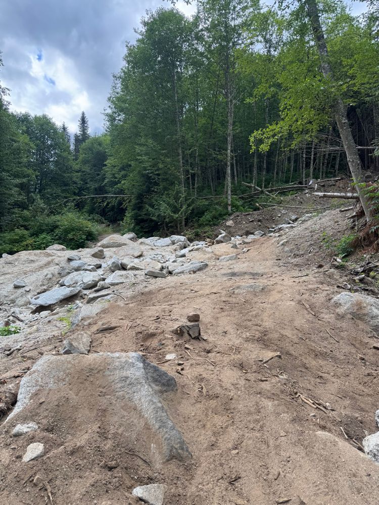
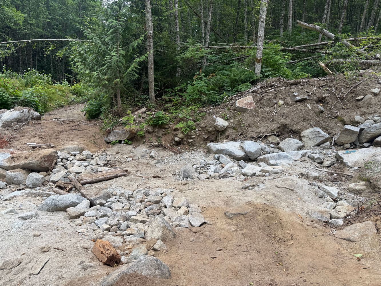
3dThe boulders have been removed from all previous reports and the washouts along the way have been fixed up. The roadbed is still quite rocky so it wil...
Alan Blair - Jul 21, 2026As Mike said, the road is heavily washed out at the indicated point (3.85km) and will not be passable for almost any vehicle unless heavy machinery co...
Andrew Knapman - Jul 24, 2026No real change from previous report. The washout has a very rough jeep bypass.
I'm almost certain I could've gotten through this in my lifted FJ but ...
Rough and slippery when wet, some debris on road and deadfall due to wildfire. Bridges seem to be old and not maintained.
Alan Smithee - Jul 23, 2026SUKUNKA
4d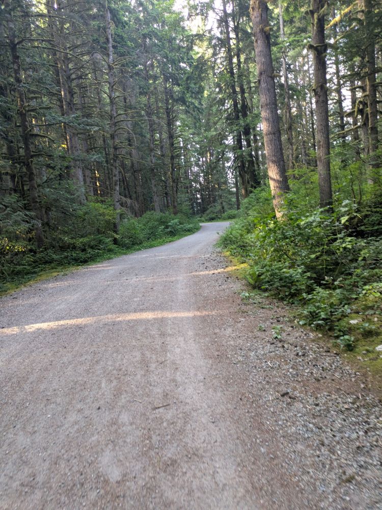
Road is really good, narrow in some parts. Watch for cyclists, runners, and dogs. I went up 1KM but went left to Rice Lake. Probably the same conditi...
Joshua Daniel - Jul 21, 2026