Road Bulletins
BUGABOO CREEK
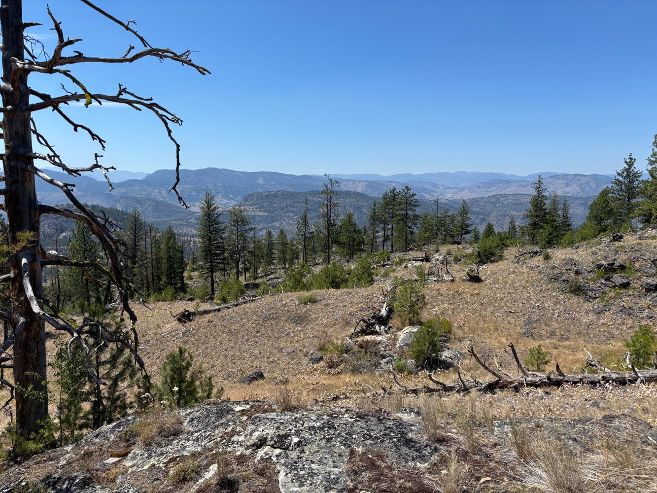
13dEasy driving right to the end. 2WD except for a couple boulders and dips near the end that require at least an SUV clearance
Andrea Tate - Jul 06, 2026SWITCHBACK
13dDrove a ways up to camp. All easy good condition, looked like it kept going.
Andrea Tate - Jul 04, 2026C-242A
14d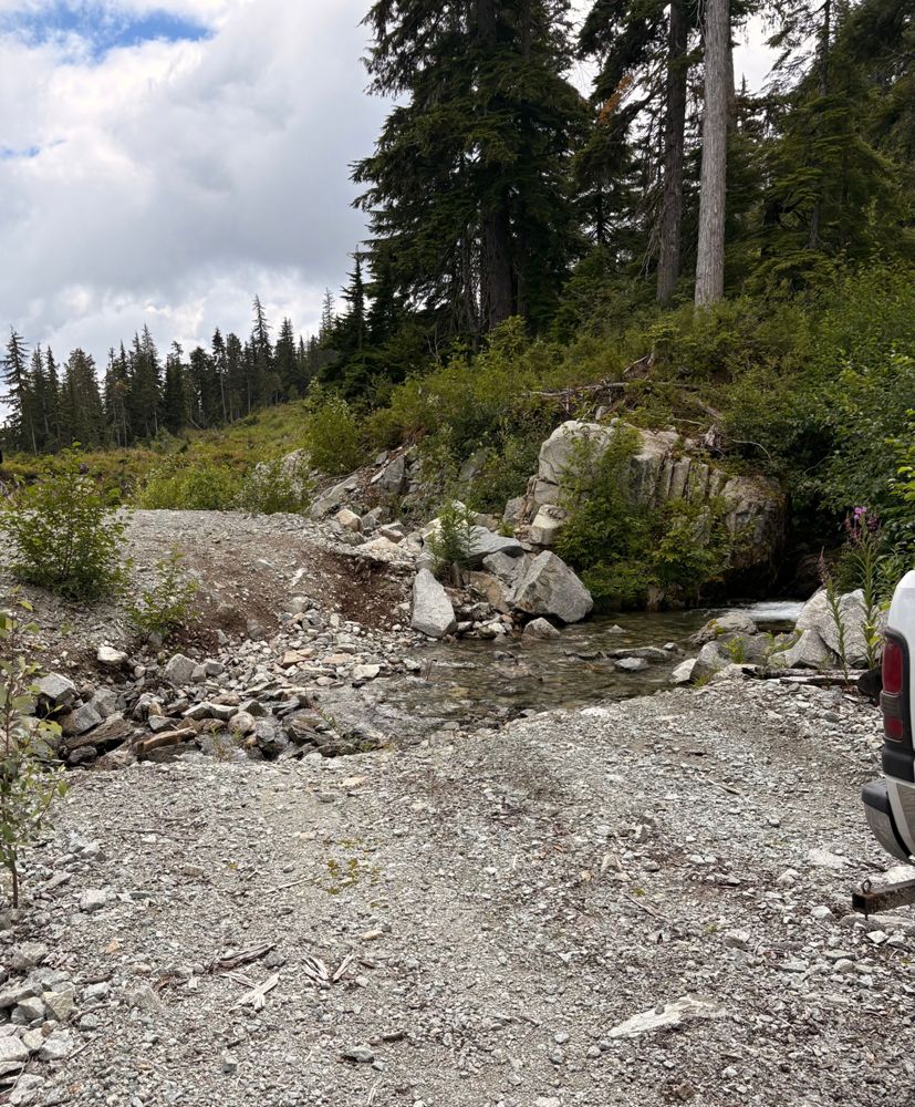
Very deep water bar at start of C-242A but passable with high clearance vehicle. About 4-5 more deep water bars to trail head to Chance but passable c...
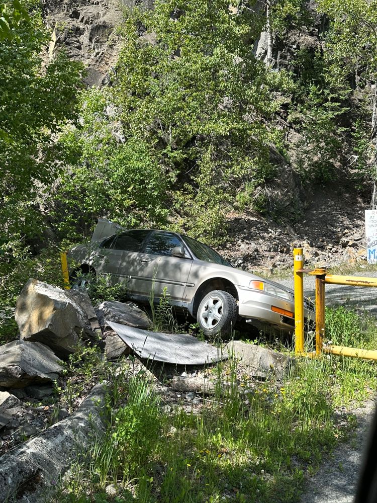
James Barb - Jul 18, 2026PHYLIS CREEK
14d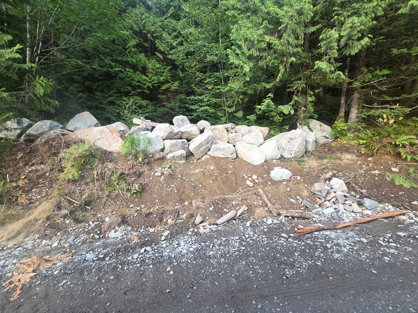
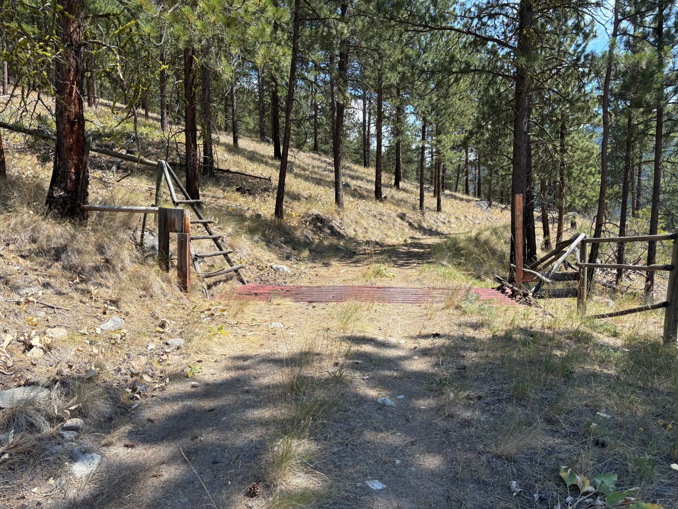
Forest management company has dug out entrance and placed a wall of boulders preventing any access unless through the gate
Graham Gunn - Jul 18, 2026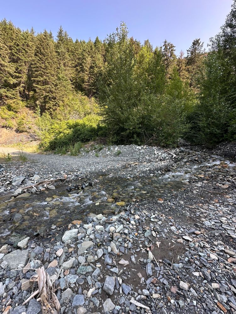
Not much has changed, some boulders have been moved to the side just before the bridge at 12km so you can park in a more open area.
There was a sm...
SECTION 119
14d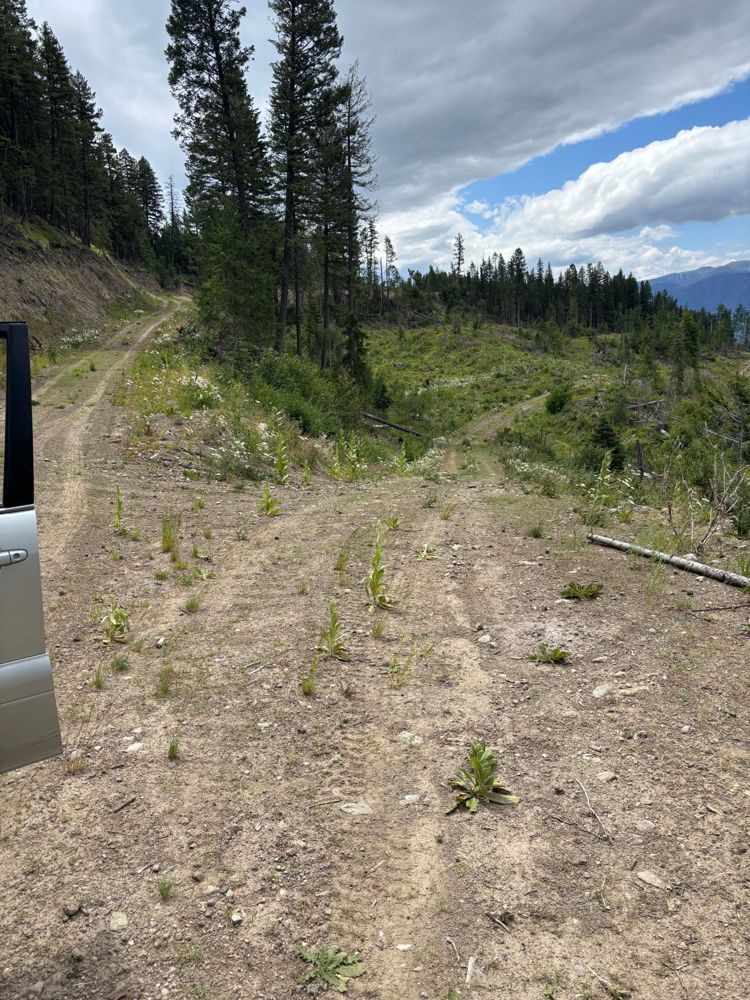
SECTION 119
14dThe road is in excellent condition and has been recently groomed. There is a lot of logging activity in the area, so beware of trucks
Steve Parkinson - Jul 18, 2026CP 6 RAT LAKE
14d

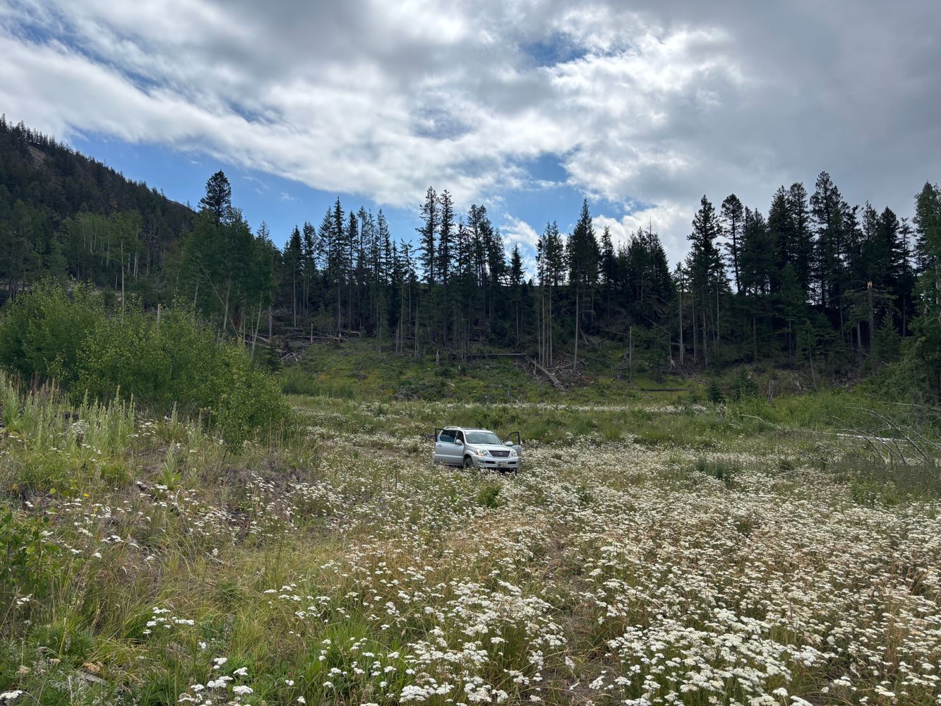
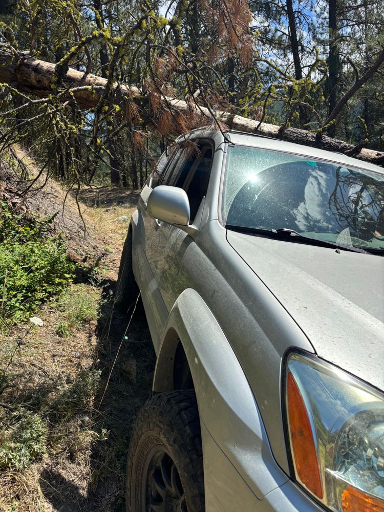
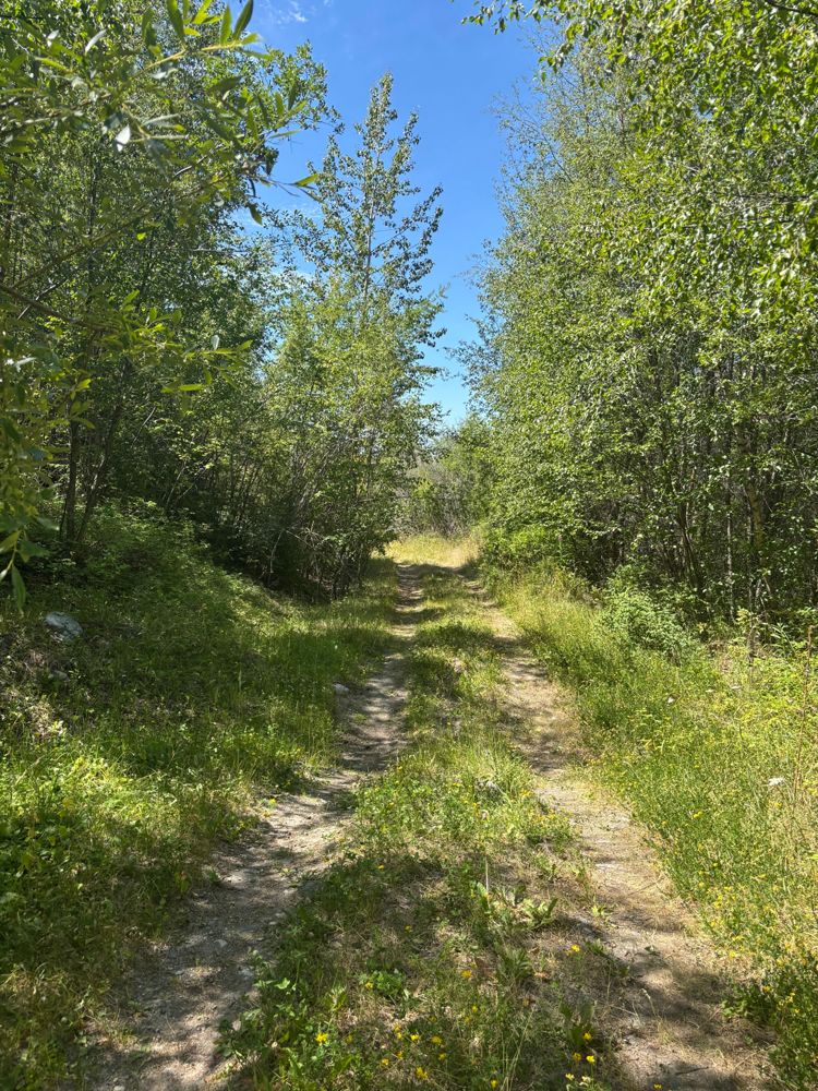
The road surface is mostly dirt and small rocks with a fair amount of grass in the track. The trail appears lightly travelled but downed trees have be...
Steve Parkinson - Jul 18, 20261C
14d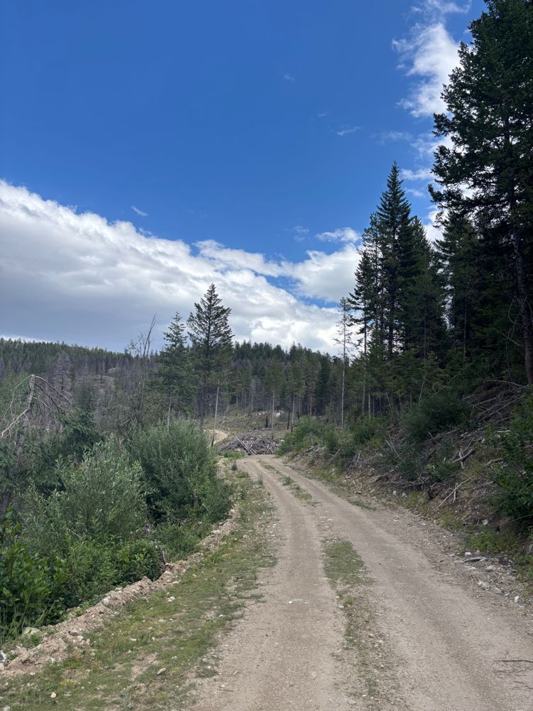
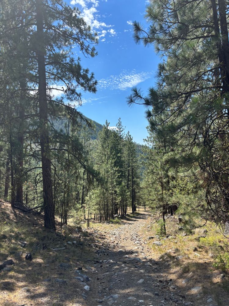
Road surface is dirt and gravel. It is fairly well maintained. There has been logging off this road recently. Small water bars. No issues even for a c...
Steve Parkinson - Jul 18, 2026CP 230/234
15d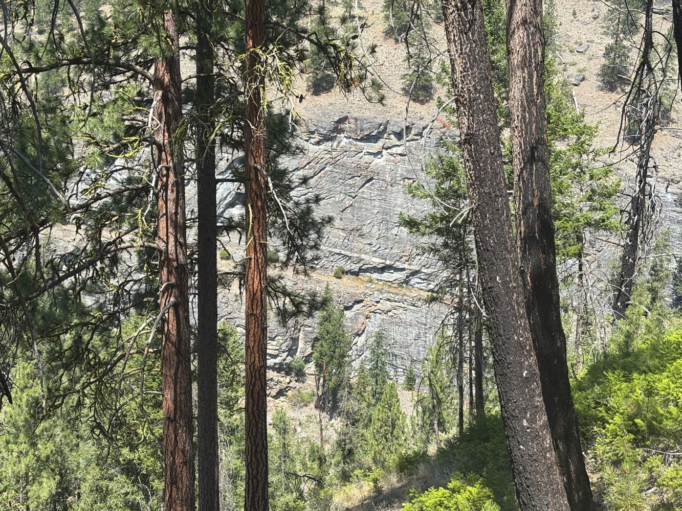
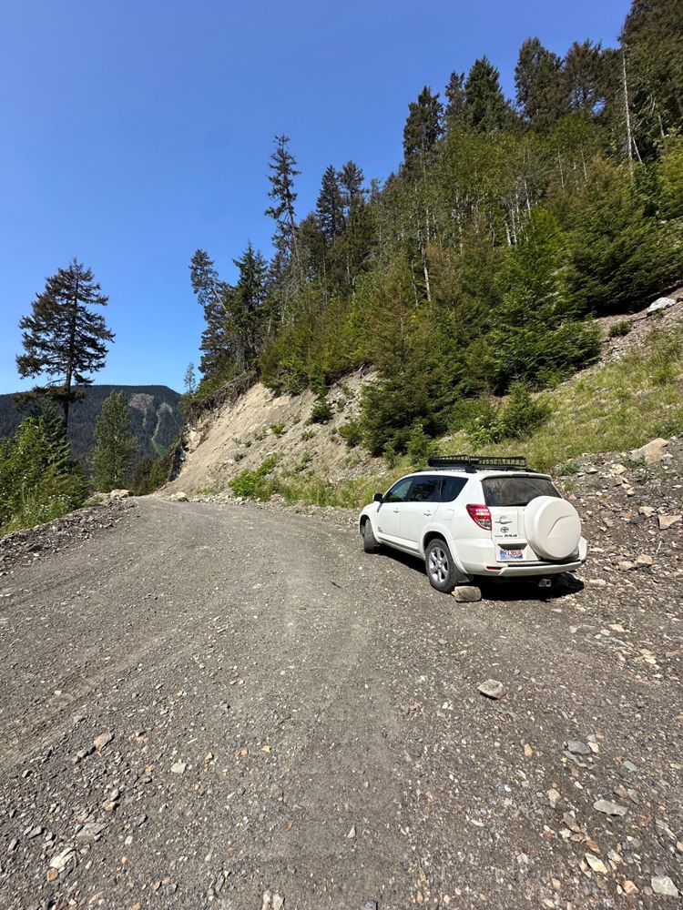
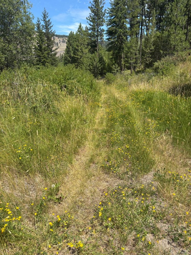
This is a branch off of CP99 Dutton Cr road. The road is steeper than Dutton Cr and is mostly dirt and grass, but has some shelf roads and some steep ...
Steve Parkinson - Jul 14, 2026CP 230/234
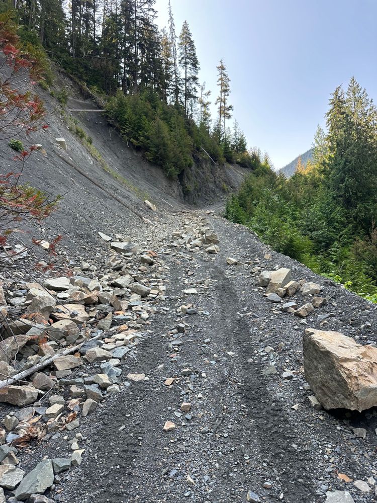
15d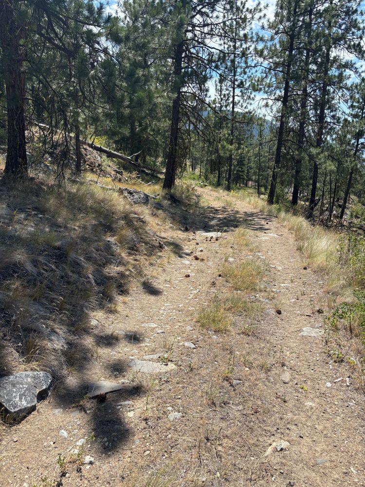
Continuation of Dutton CK and CP230/234. More first and loose rocks. Steeper sections than earlier and more shelf roads. The road continues past the m...
Steve Parkinson - Jul 14, 2026CP99 DUTTON CK
15d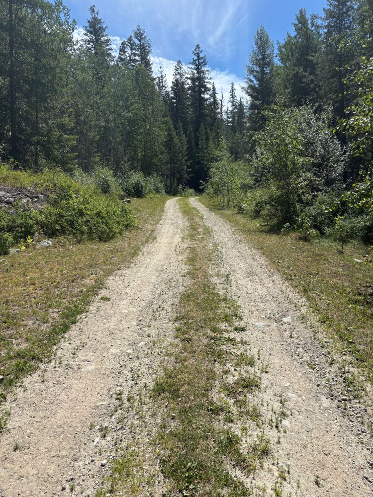

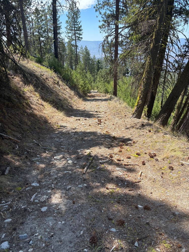

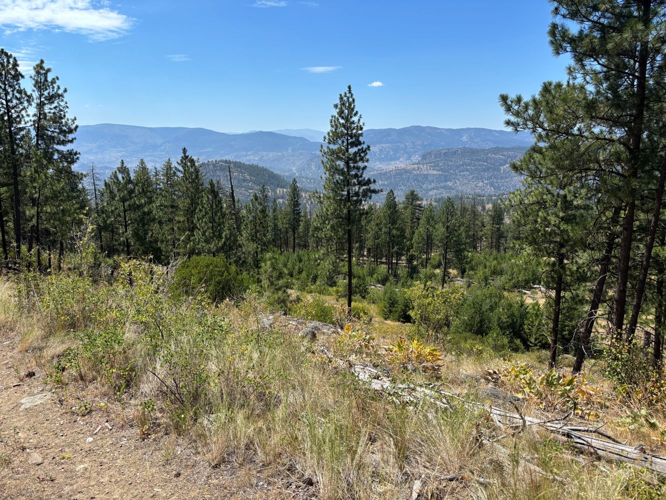
Road is in decent condition, but appears rarely travelled. It is mostly dirt surface with some gravel and sand sections. There are some slopes with lo...
Steve Parkinson - Jul 14, 2026Only drove until the 11KM marker. Great conditions. Barely potholed. Scattered sharp rocks in the first km or so. Still driveable with any car.
Ashley Melanson - Jul 12, 2026Compacted dirt, minor potholing, and minimal rocks compared to the main FSR. Great condition for any car.
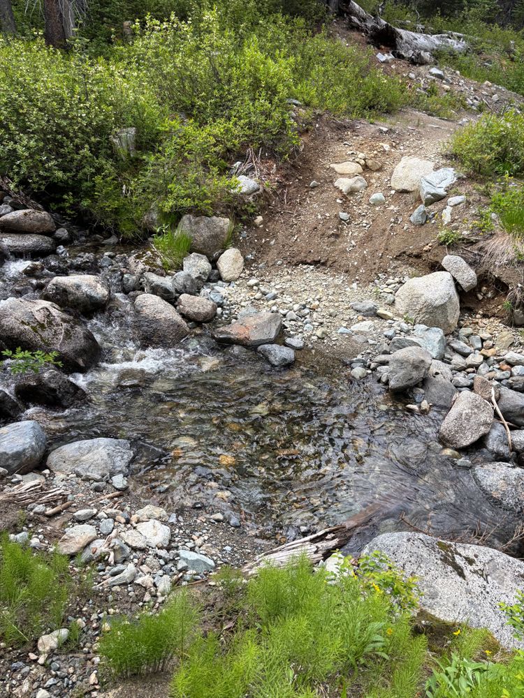
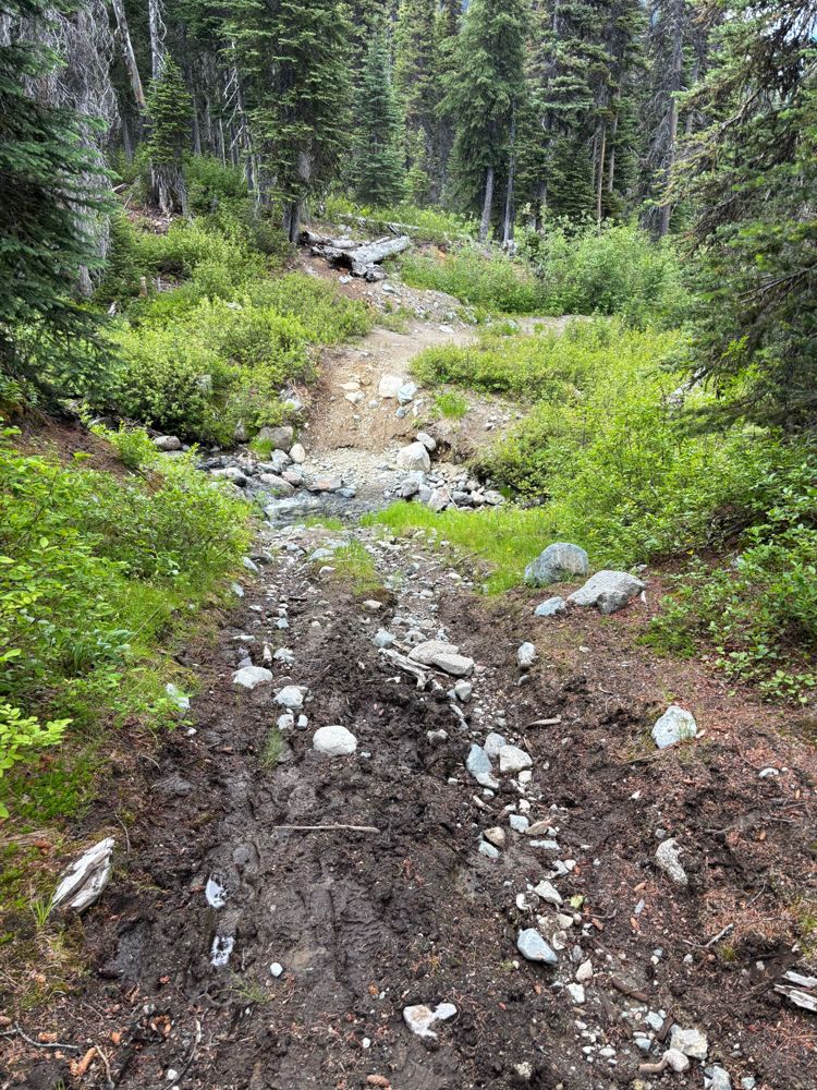
Ashley Melanson - Jul 12, 2026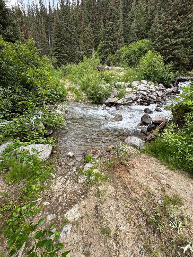
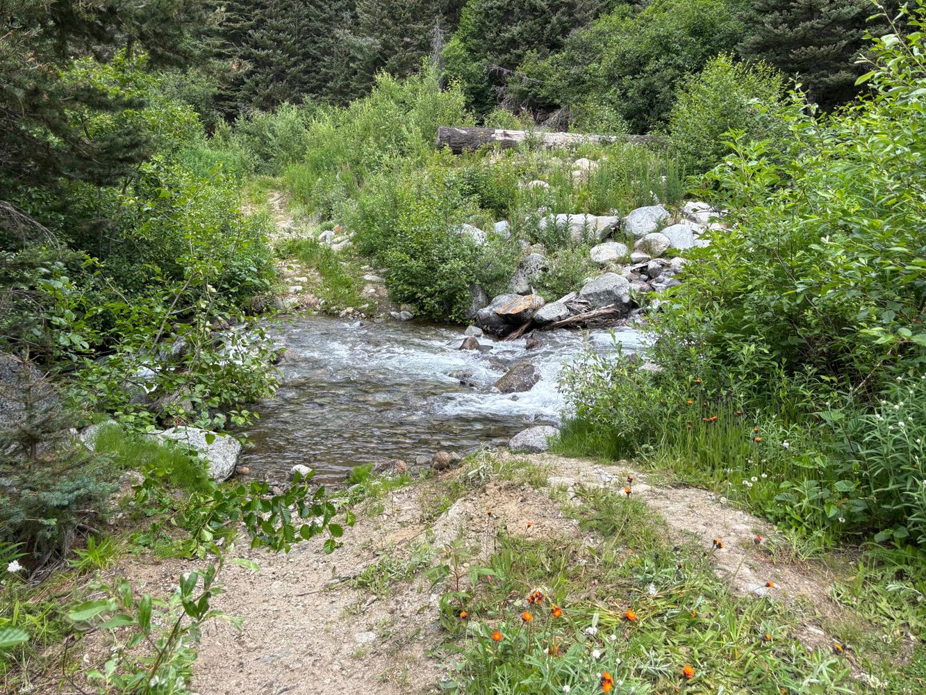
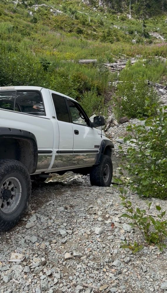
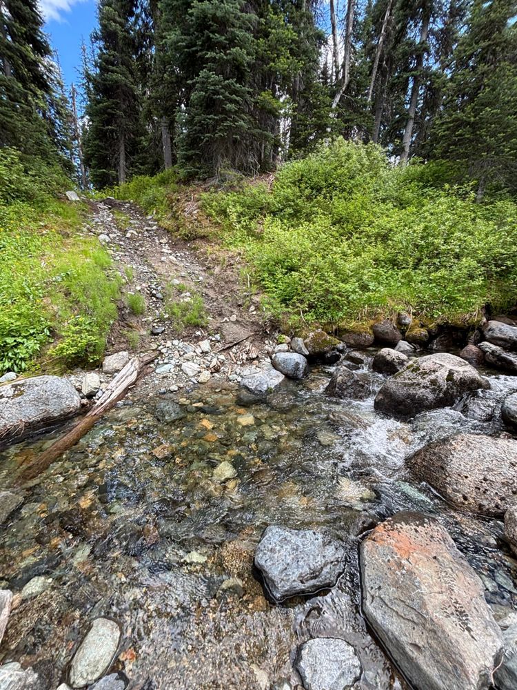
Creek crossing/bridge bypass is the only real obstacle (see photos). Road has water bars but is drivable to the end without much difficulty.
Tanja Schnabel - Jul 16, 2026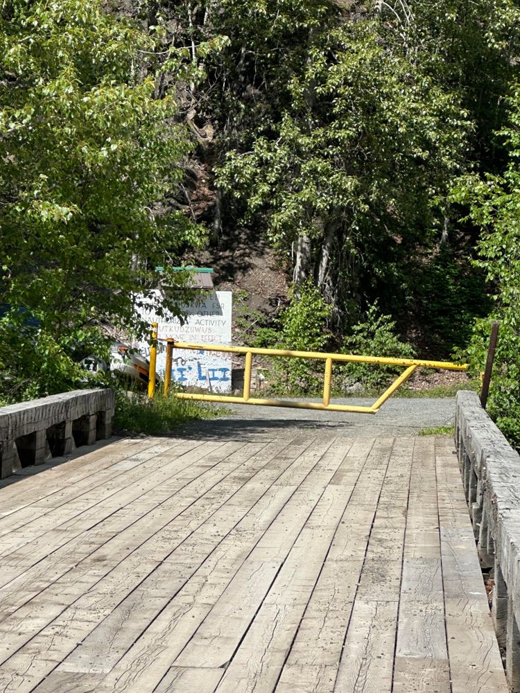
Raft River FSR
17d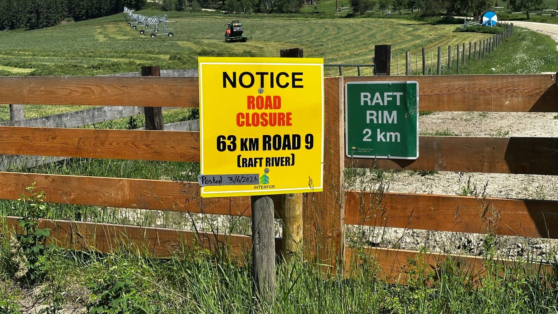
Update: https://www2.gov.bc.ca/gov/content/industry/natural-resource-use/resource-roads/local-road-safety-information/thompson-rivers-natural-resource...
Rob Bacon - Jun 03, 2026Elk River Main
17dHiked into the north end from Kananaskis Lakes, so didn't actually drive any of the road, but saw two pickup trucks arriving at the end at Lower Elk L...
Steve Ansell - Jul 09, 2026Mostly smooth, a little bumpier in the second half but still 2wd friendly and faster in a jeep. Went as far as the fantastically scenic Chilko lake ca...
Raphael Smith - Jul 15, 2026Taseko Lake Road
17dExcellent condition. 2wd friendly all the way but faster in a Jeep. Recently improved road. Only went as far as the turnoff to Nemaiah Rd as was heade...
Raphael Smith - Jul 15, 2026Lick Creek FSR
18dgood condition FSR until 3.1k where a steep river crossing is required. Only a real off-road vehicle would be able to cross.
laurent gervais - Jul 10, 2026Slesse Creek FSR
18dThe gate at 0km was open on July 12, 2026.
The road is in great condition and is 2wd friendly. We didn't check out the bridge and just went straight...
Hope Creek FSR
18d

Most of the road is in good condition. First obstacle is a creek crossing at 11.5km which was fine in a 4Runner. A few deep water bars and some bush a...
Tanja Schnabel - Jul 11, 2026Hope Creek FSR
18d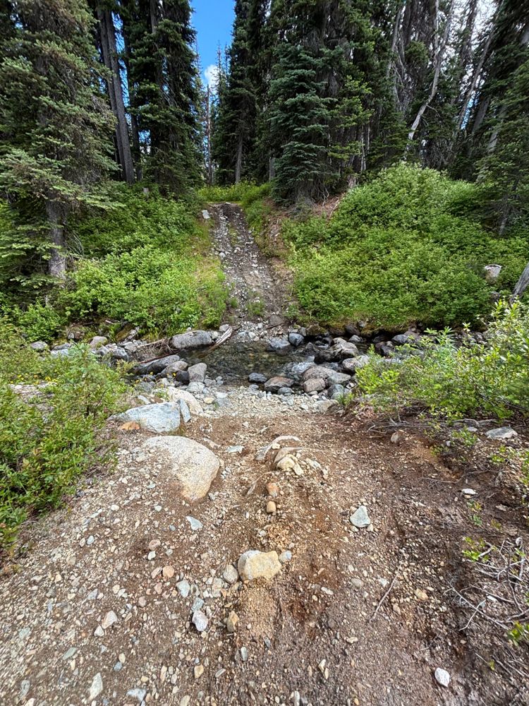


Most of the road is in good condition. First obstacle is a creek crossing at 11.5km which was fine in a 4Runner. A few deep water bars and some bush a...
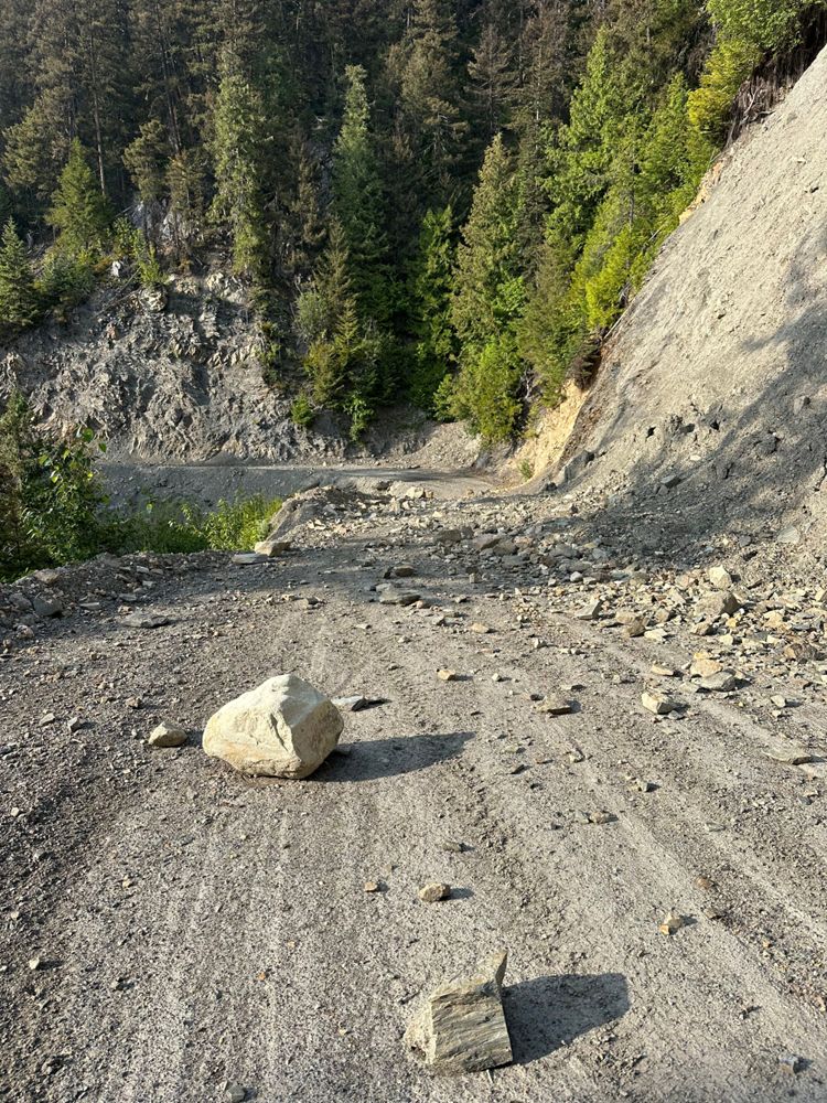
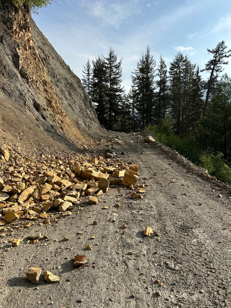
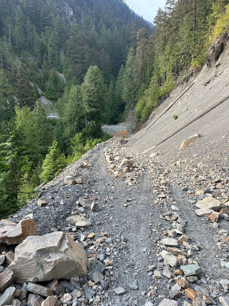
Tanja Schnabel - Jul 11, 2026road is washed out and culvert is removed/washed out with the full stream of the creek running through.
Greg Watson - Jul 14, 2026