Road Bulletins
In pretty good shape for the most part, with a few rocky spots. A crossover would likely make it as long you picked your route carefully and avoided ...
Andrew Enns - Jul 02, 2026KOOKIPI WEST
21dMain FSR
21dGood fast travel from Gang ranch to end. Marked on site (E end) as Gang Ranch Reservoir Road.
Ian Bartley - Jul 08, 2026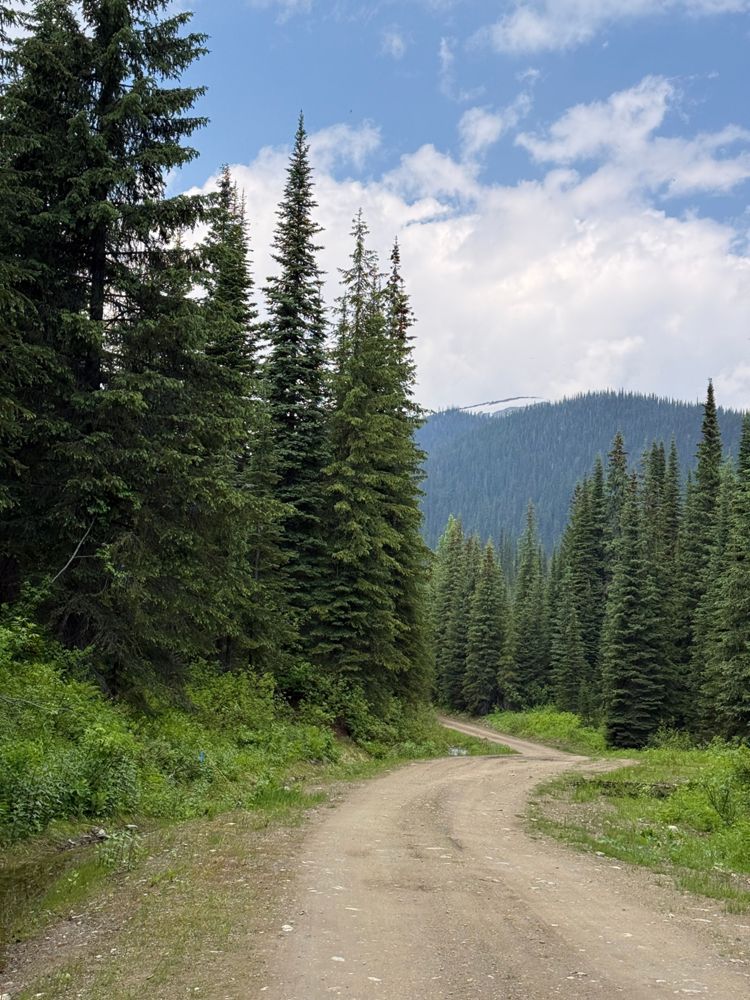
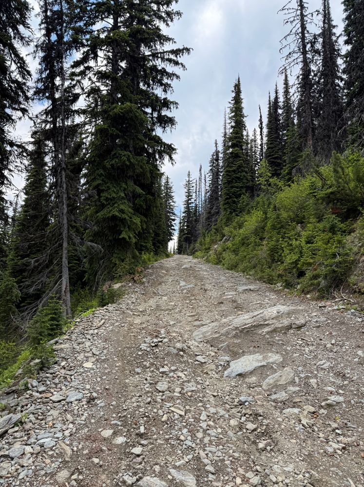
Smooth on the lower portion, with small waterbars further up. The waterbars gradually increase in size in the upper portion as does the overall rough...
Steve Ansell - Jul 05, 2026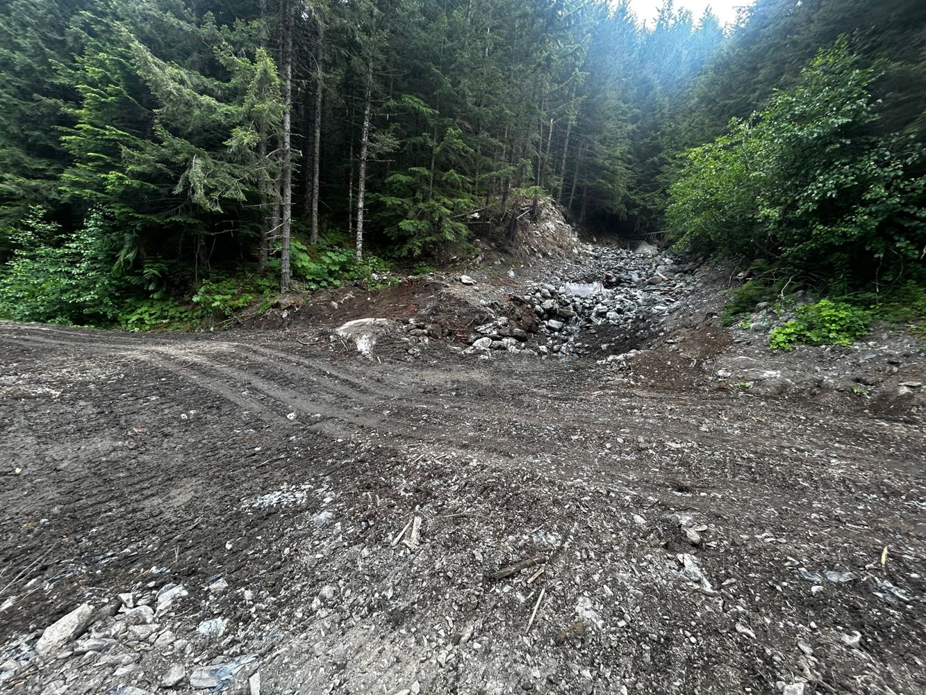
Large washouts repaired. Road is back to its previous condition of, will my Honda crv make it?!?
Christopher Jamieson - Jul 10, 2026Miller Bench FSR
22d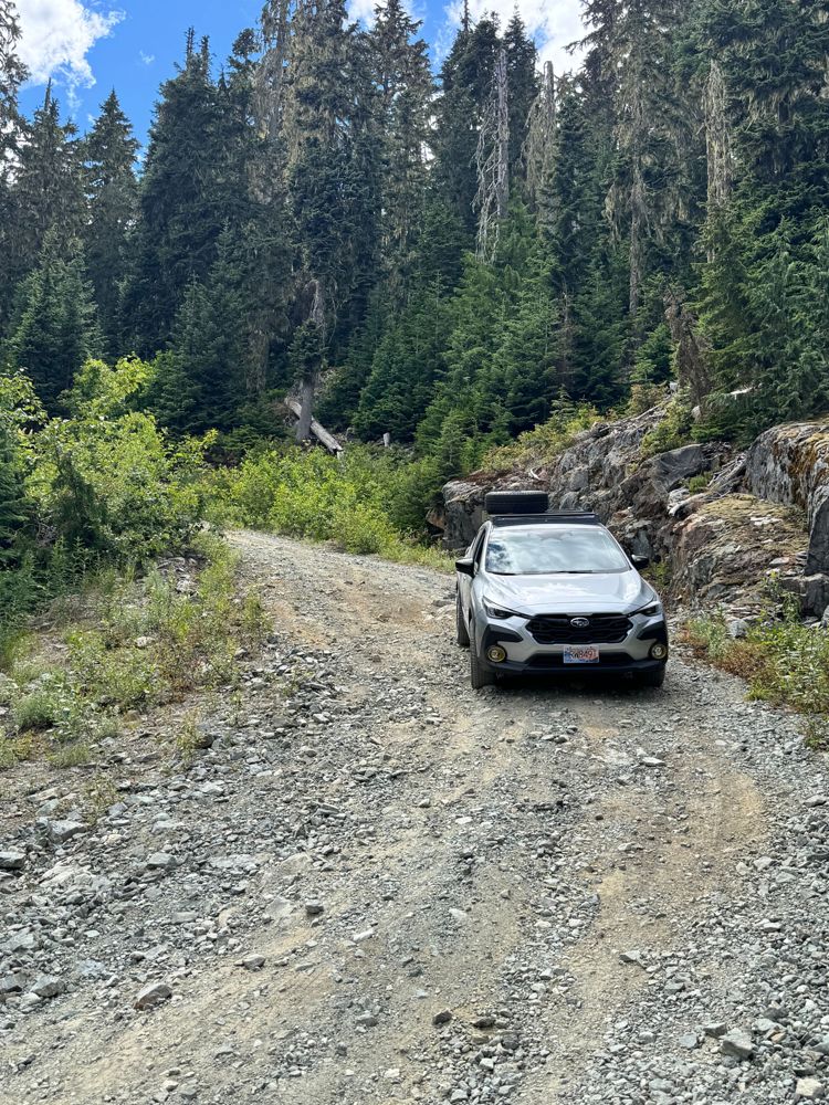
Road is rough, eroded in places with line choice mandatory in Crosstrek with AT tires and a lift. No problem for a true 4x4
Jordan Bell - Jul 10, 2026This road does still lead to the old stretch of trail for Sugar Mountain but the area was logged and the trail ended up being demolished, though you c...
Paul Lezica - Jul 09, 2026MAINLINE 375005
23dYep the road was reactivated when they logged around the Sugar mountain trail so that impasse is no longer there (was previously a giant ditch).
Paul Lezica - Jul 09, 2026SOWAQUA
23d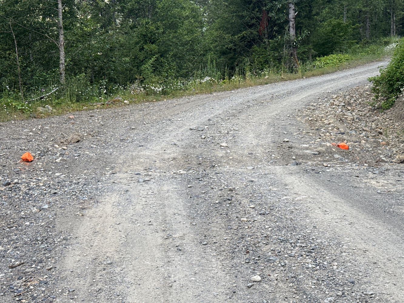
Can confirm gate is unlocked. And road is in good shape all the way to the 13km spur for Tulameen. No problem for any SUV/AWD. Most sedans could proba...
Kelly Wilson - Jul 09, 2026PB4838 A15
23dold block road leading up to the Tumuch Trail trailhead, turning left at approx. 400m. The road had been deactivated for years now but the willows ar...
Greg Watson - Jun 27, 2026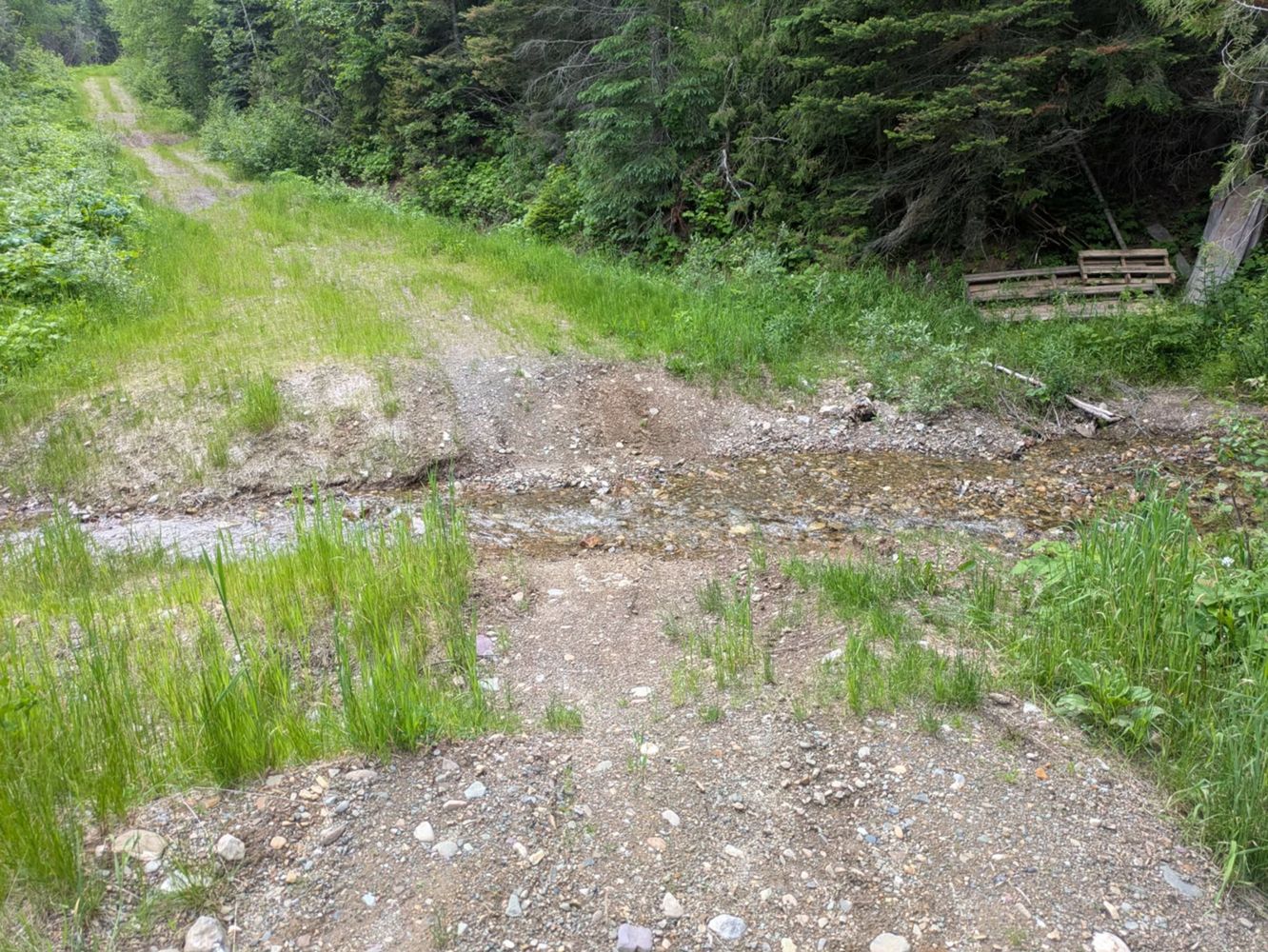
PB4839 A15
23d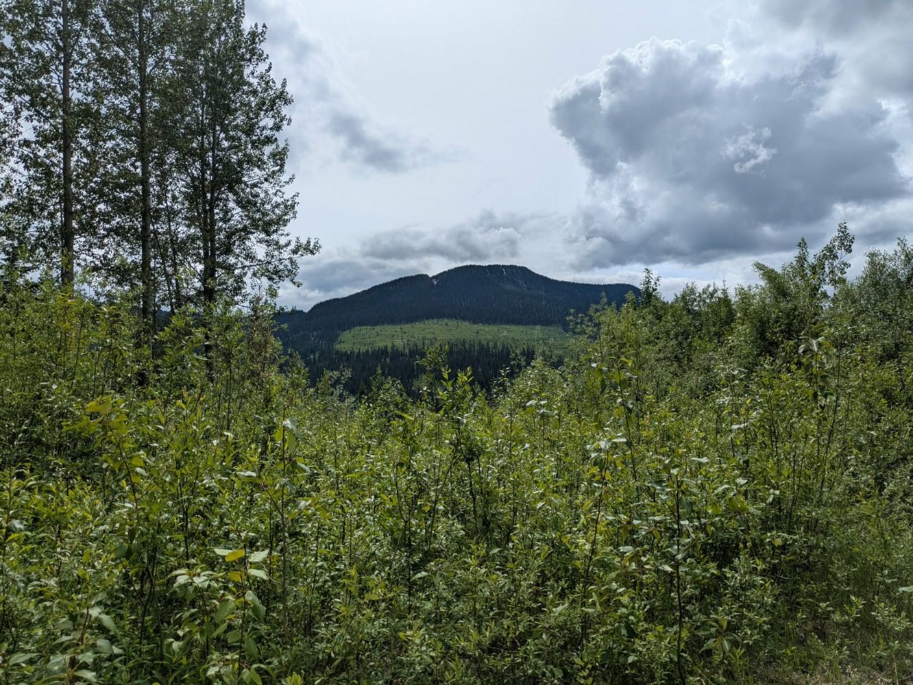
old block road leading to Tumuch Trail trailhead. The willows are taking over the road in places making access by vehicle to trailhead less accessibl...
Greg Watson - Jun 27, 2026Meadow Lake Road
23d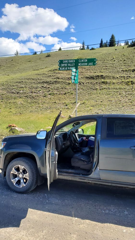
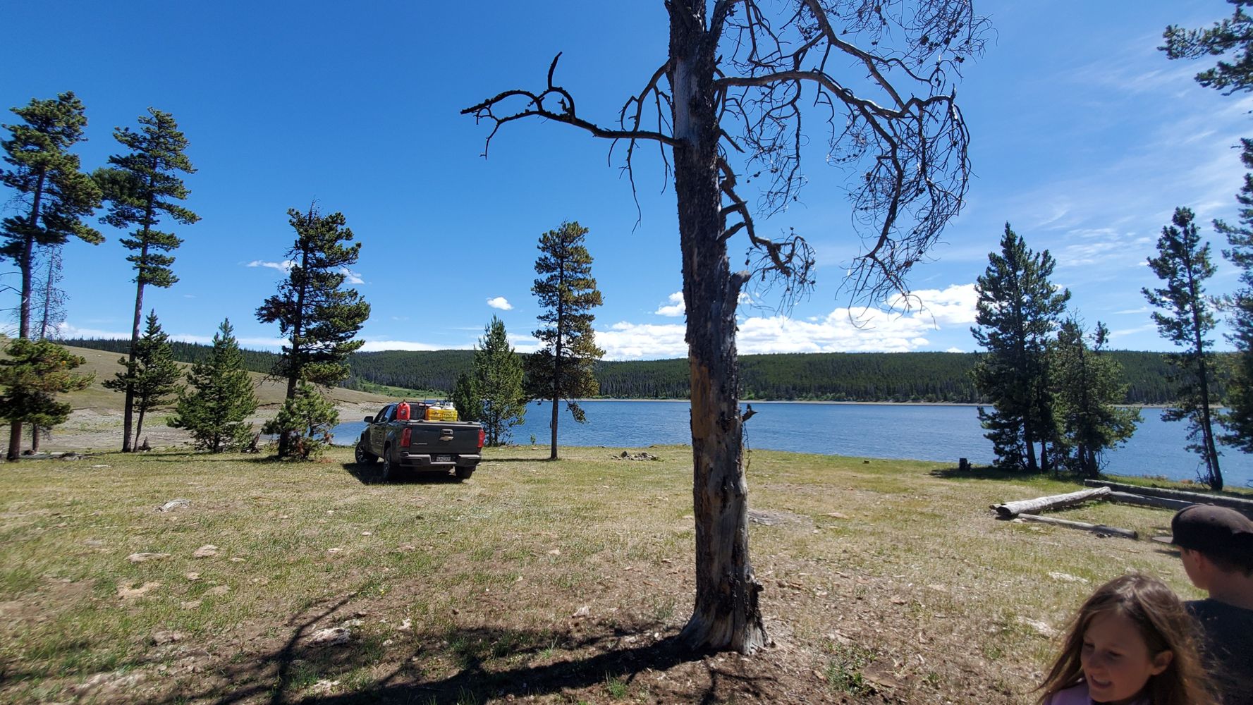
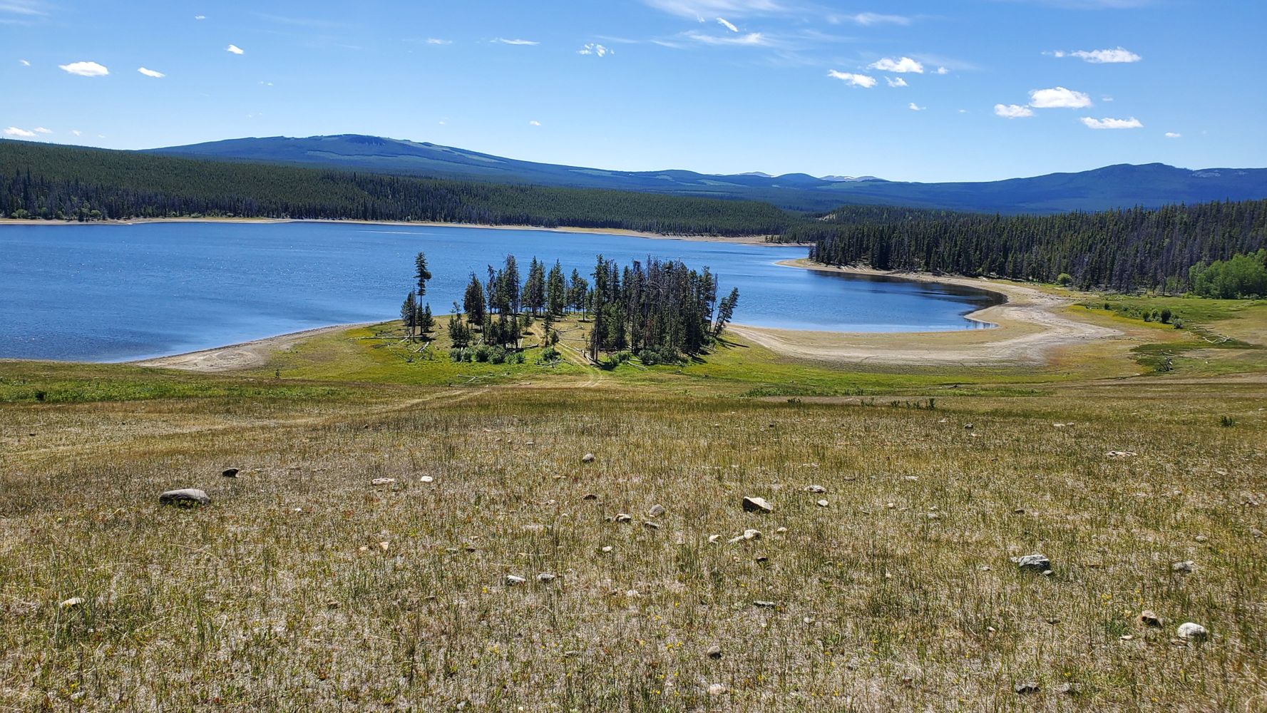
Took this mud doubletrack all the way to Gaspard lake, Turn off is unmarked but just after the cattlegate in the bottom of the draw when traveling sou...
Ian Bartley - Jul 08, 2026Steep on both ends, Road degrades in the middle a bit, with muddy braided rutted parts in sections, But as we were traveling in dry conditions everyth...
Ian Bartley - Jul 06, 2026All-wheel drive conditions all the way to the top with a couple of spots where some attention is needed to avoid runoff gullying in the roadbed.
Ian Bartley - Jul 06, 2026Gang Ranch Road
24dExcellent conditions all the way, A few rutted parts where you can see in wet weather it may not be so pleasant. Quite a few signs put up by Gang Ranc...
Ian Bartley - Jul 08, 2026Poison Lake Road
24dRoad was eminently passable by all vehicles with decent tires. Most annoying feature is there it probably isn't a 100m of straight road at all so it's...
Ian Bartley - Jul 08, 2026One major ditch/deactivation or whatever type of obstacle on the western end that prevents all vehicle but the true 4x4. A Subaru won't make it. Rest ...
Steven Song - Jul 03, 2026BULL/QUINN CK
24d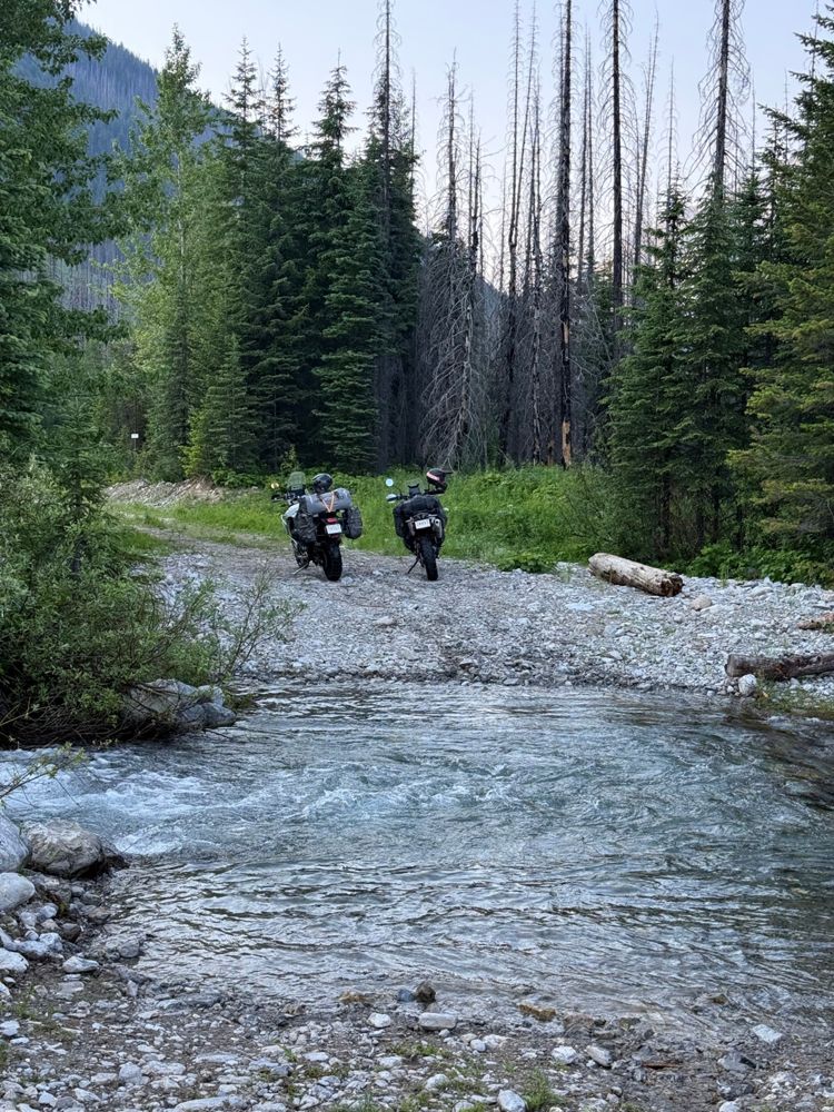
Totally impassable for cars. Took the motorcycles up to explore, crossed through the river at several points where the bridges washed out but eventual...
Andrea Cankovic - Jul 08, 2026