Road Bulletins
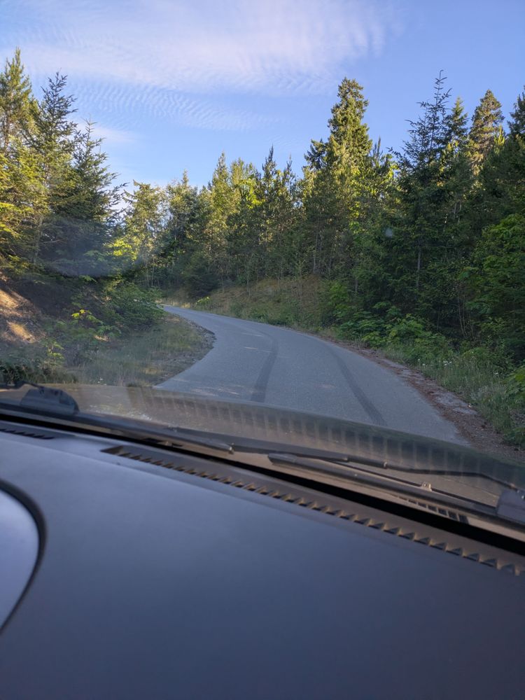
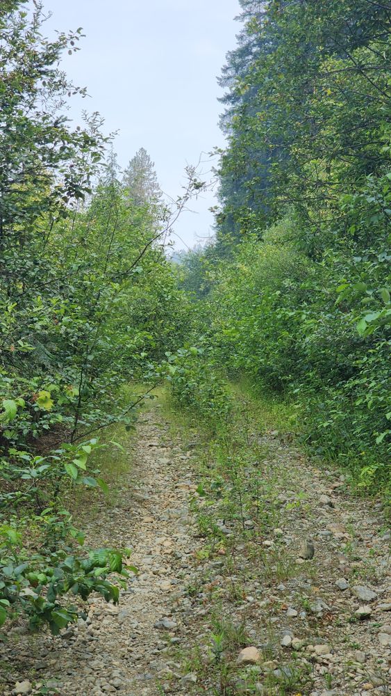
FIONA ROAD FROAD
24dGood road bed. Easy gravel. No potholes nor waterbar. Giving reasonable access to Sutton Peak (close to 1200m). Any SUV will do. Overgrown section onl...
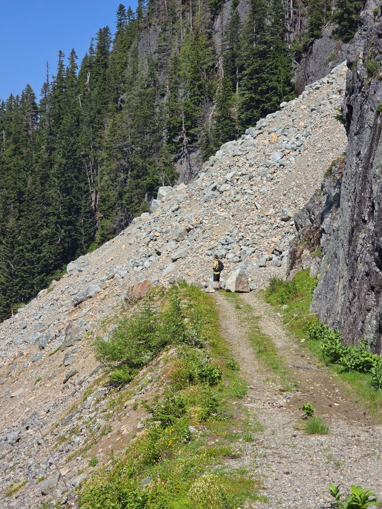
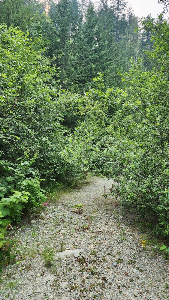
Teng Pasion - Jul 06, 2026LITTLE TAMIHI
24d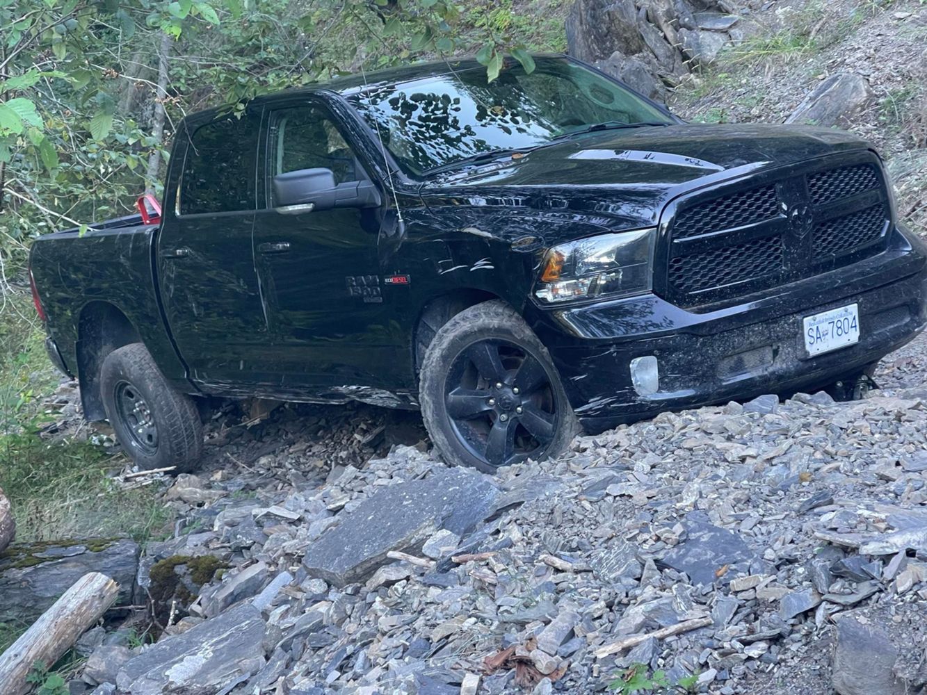
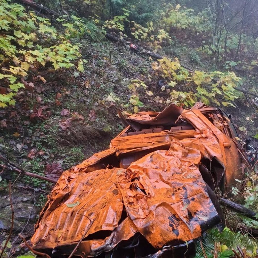
After the 50" Bridge, the road becomes a narrow two-track with some sections of single track only passable on foot or dirt bike (yes, I include Mt bik...
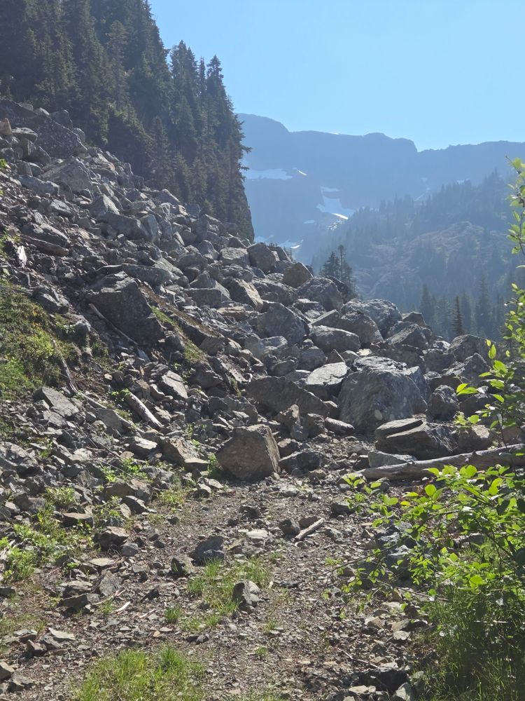
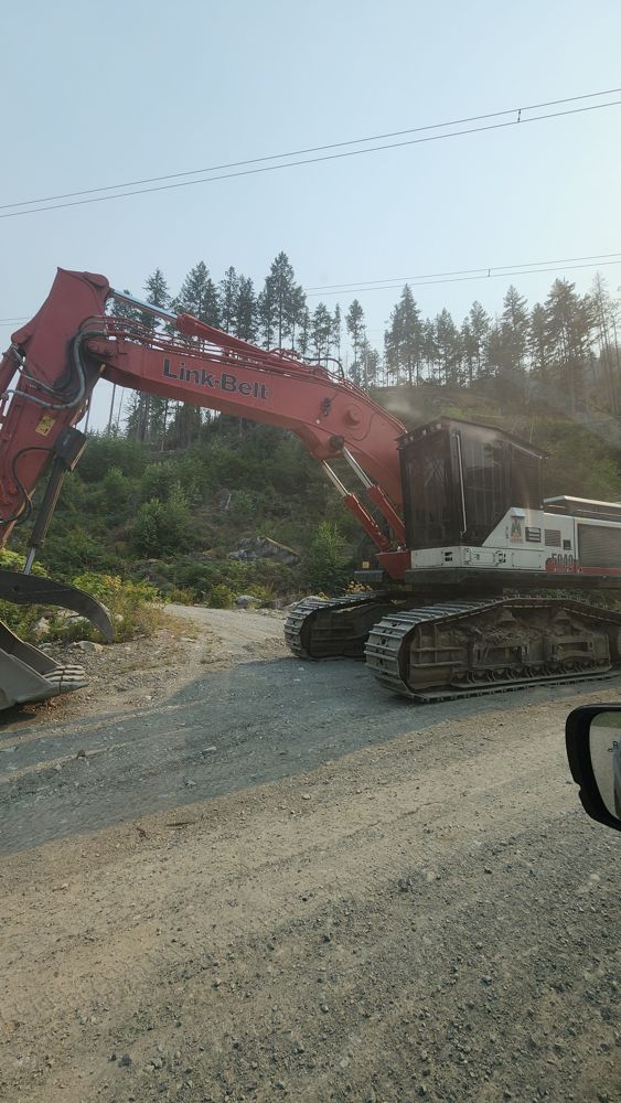
Thomas Timmerman - Jul 08, 2026Coal Creek Road
24dThe bridge at 5km is washed out. There is a bypass on the north side of the creek, but you need a atv/moto/very equipped truck to get all the way thro...
Cory Hancock - Jul 08, 2026Kinuseo Creek E
25dRoad itself (the first few kms of the old Monkman Hwy) unremarkable. After turning off to the blocks northwards a few modest old deactivation ditches ...
Ian Jenkinson - Jun 27, 2026BOWRON FSR
25dIn great shape from the turnoff at Hwy 16 south to the turnoff at Tumuch FSR
Greg Watson - Jun 27, 2026LA PORTE CREEK A
25dDrove this down from
Goat Peak lookout in Subaru Forester. Good gravel road takes you right into Beaverdell.
BOYER CREEK
25dDrove this down from Goat Peak lookout trailhead in a Subaru Forester. Suitable for any SUV.
Jim Bowers - Jul 02, 2026Drove this up to Goat Peak Lookout trailhead in a Subaru Forester. Good condition and no deadfall. Suitable for any SUV. 600 m walk on good trail to t...
Jim Bowers - Jul 02, 2026Ault Creek FSR
26dSame conditions as in the previous report. We counted total ~55 waterbars including the Ault Lake Spur. They are deep but entry and exit are relativel...
Anton Gerasimov - Jul 05, 2026Ault Lake Spur
26dNo change since the last report. The overgrown section is short with very minor pinstriping. One waterbar just after the fork with Ault Creek FSR is v...
Anton Gerasimov - Jul 05, 2026EC5000
26d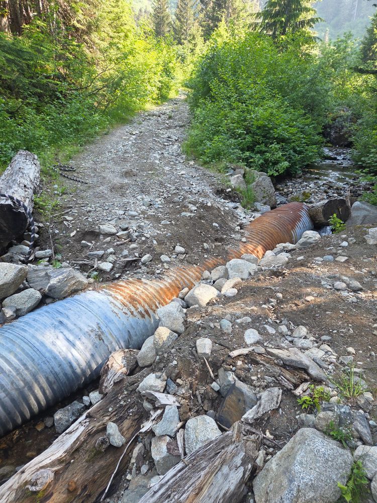
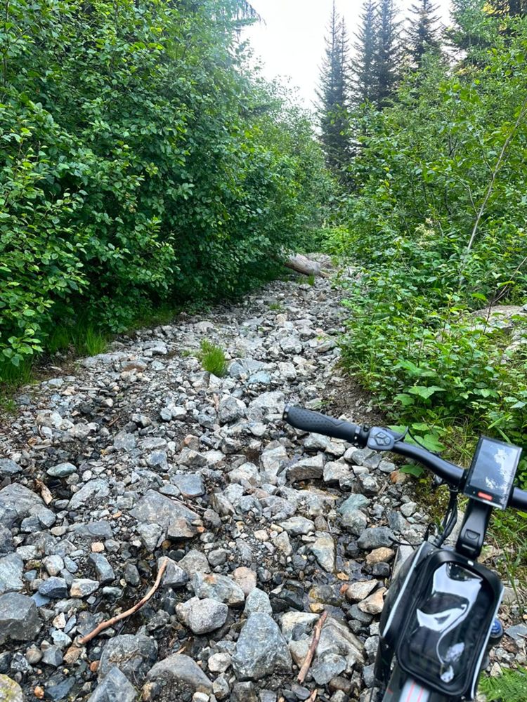
We ebiked up the road from the SL2 branch to 1300m or so and gave up, the road is more like a creek bed in many places now, between 1.5km and 2km is g...
Mike Hiker - Jul 05, 2026WHISKEY CREEK
26d
Road was really good, any car can pass by here. Surprisingly there were portions that were paved, by the highway 3.5km up, another by a fish hatchery ...
Joshua Daniel - Jul 06, 2026Eureka Creek FSR
26dRight before the creek crossing just passed 2.5k there is a steep loose rocky section that will stop most stock 4x4's. More confident and capable vehi...
Mike Hiker - Jul 05, 2026SL-2
26dGate was open and there was a pile of old culvert pipes up the road, crews are likely done their work and deactivating the road.
Mike Hiker - Jul 05, 2026OMG salvation! Water bars have been filled in! Not sure how far this is true. But I only added this update to ~6km
Not sure if this is because of a...
Washout at 1km is fixed but still rough. AWD with moderate clearance and careful driving in a Subaru. After this, road bed generally very good with so...
Elise Lutz - Jul 05, 2026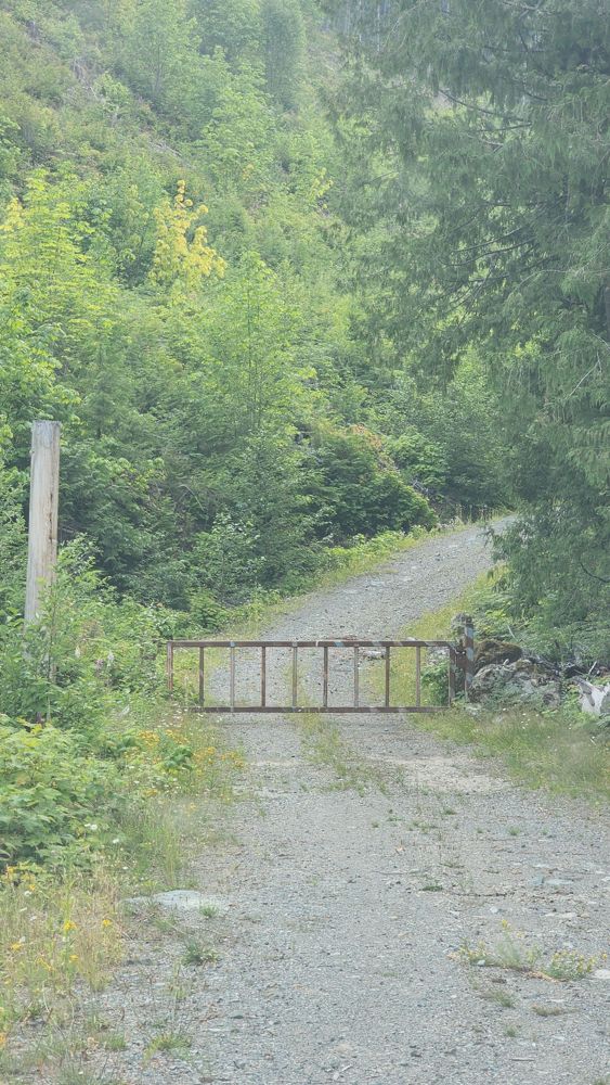
Heavily overgrown at start. Impassable. My map says 1.5 km bridge washed out, but can't confirm.
Gavin - Jul 05, 2026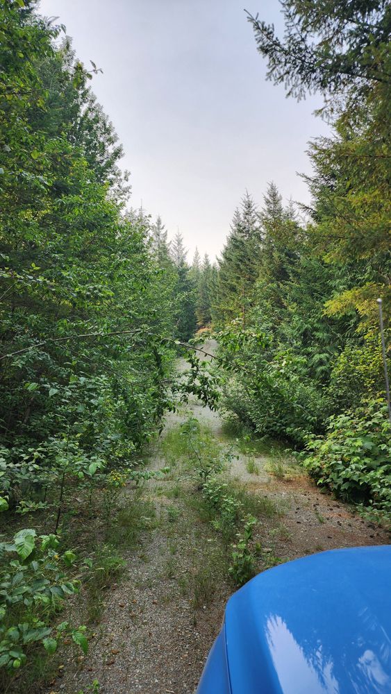
Trio Creek FSR
27dMoved gate marker to correct location. I thought you could reach R01712 3017 initially, but gate appears earlier. Steep and loose hill to gate.
Gavin - Jul 05, 2026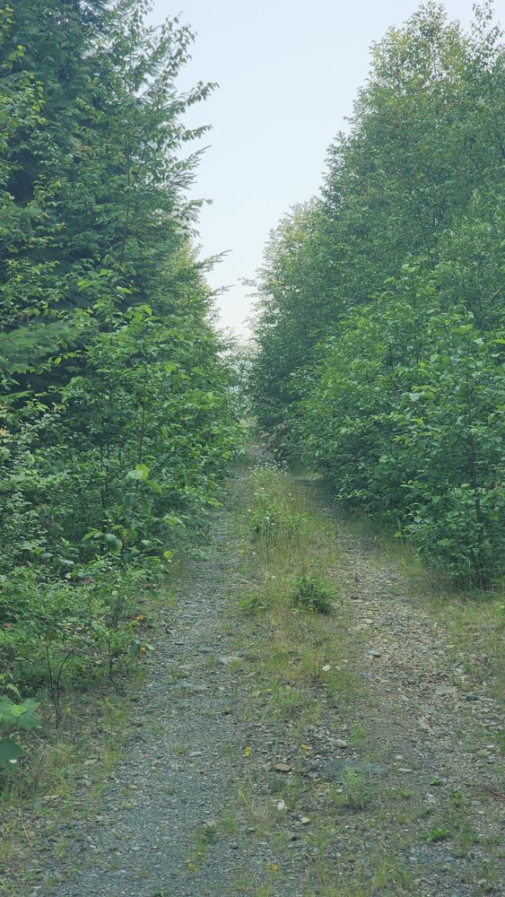
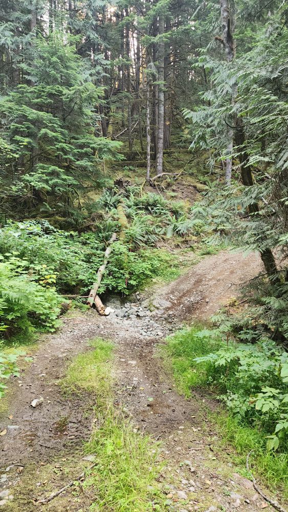
CANTELON 8400
27dSome deepish waterbars.
Huge fallen tree blocks the road half way up - seems like even ATV had to turn around.
Road seems to be recently graded. The only annoyance are lots of (26?) narrow and shallow water ditches scattered throughout the road - should not be ...
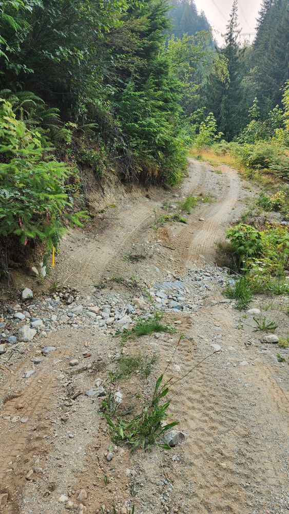
Oleg Ku - Jul 05, 2026R01712 3014-1
27dThe road requires a few river crossings that are a little technical. Requires good clearance to pass. Near the bottom, there are deep bumps which can ...
John Raffin - Jul 04, 2026