Road Bulletins
OMG salvation! Water bars have been filled in! Not sure how far this is true. But I only added this update to ~6km
Not sure if this is because of a...
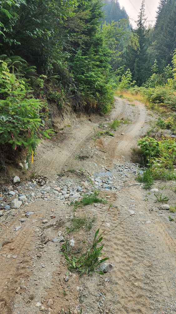
Washout at 1km is fixed but still rough. AWD with moderate clearance and careful driving in a Subaru. After this, road bed generally very good with so...
Elise Lutz - Jul 05, 2026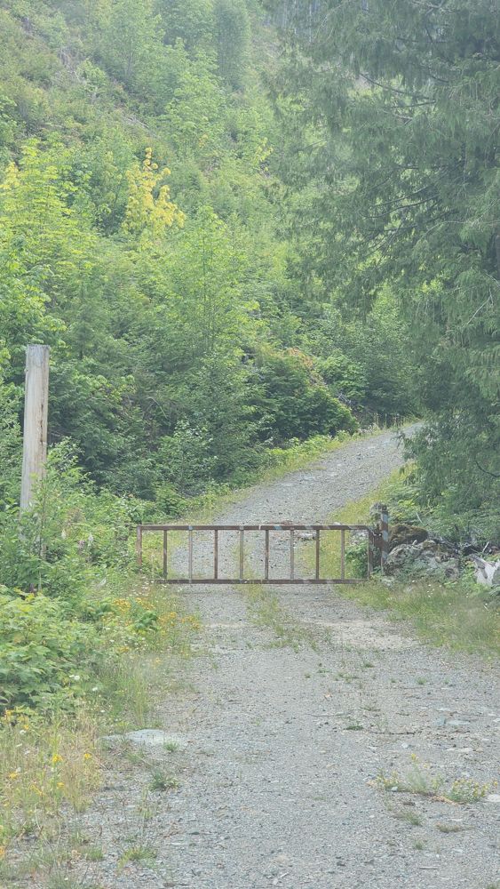
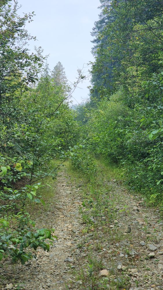
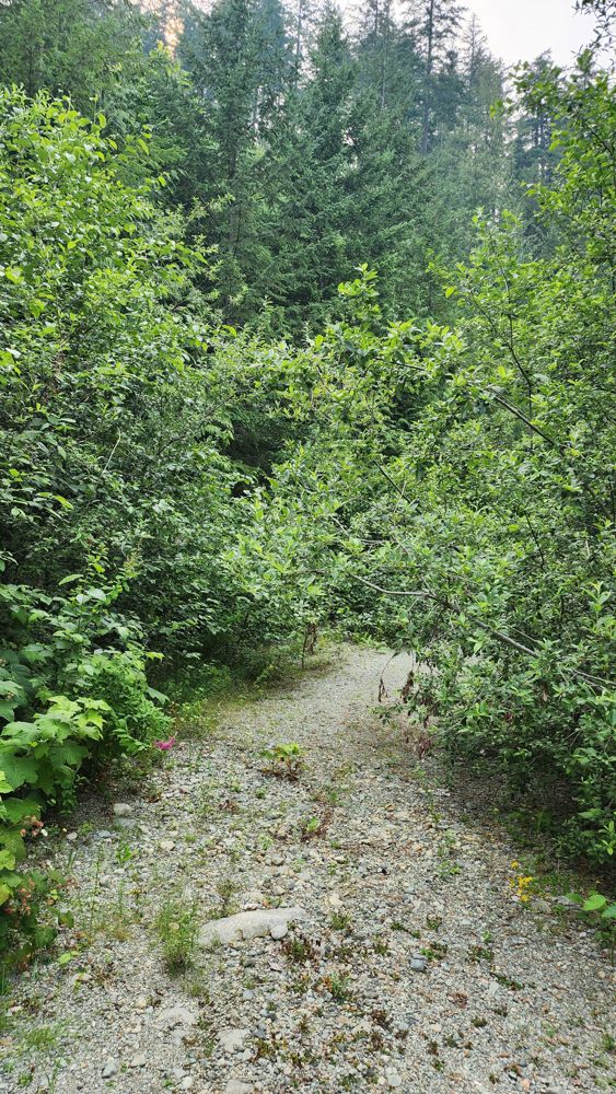
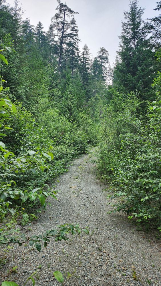
Heavily overgrown at start. Impassable. My map says 1.5 km bridge washed out, but can't confirm.
Gavin - Jul 05, 2026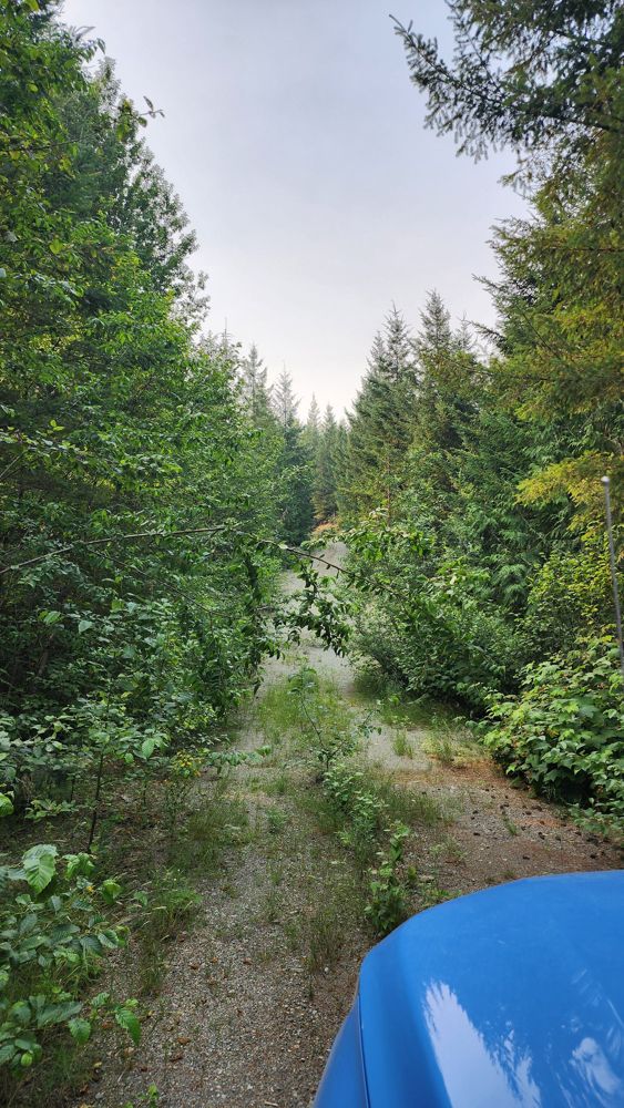
Trio Creek FSR
28dMoved gate marker to correct location. I thought you could reach R01712 3017 initially, but gate appears earlier. Steep and loose hill to gate.
Gavin - Jul 05, 2026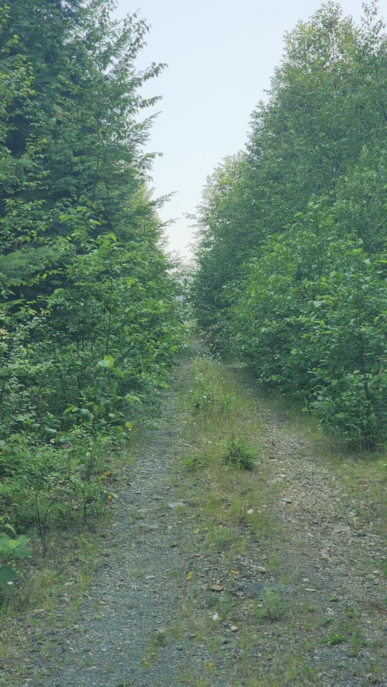
CANTELON 8400
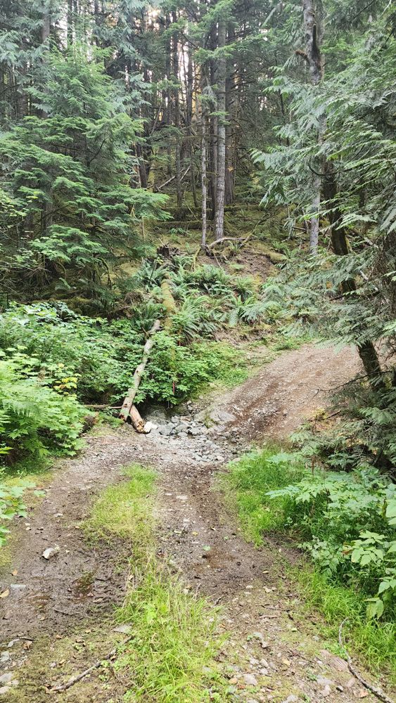
28dSome deepish waterbars.
Huge fallen tree blocks the road half way up - seems like even ATV had to turn around.
Road seems to be recently graded. The only annoyance are lots of (26?) narrow and shallow water ditches scattered throughout the road - should not be ...
Oleg Ku - Jul 05, 2026R01712 3014-1
28dThe road requires a few river crossings that are a little technical. Requires good clearance to pass. Near the bottom, there are deep bumps which can ...
John Raffin - Jul 04, 2026Still a bumpy ride, but no large rocks or potholes and a reasonably wide road.
John Raffin - Jul 04, 2026In-SHUCK-ch FSR
28dThe road is still super smooth north of Tipella, and construction is still underway near the north end of Lillooet Lake.
John Raffin - Jul 04, 2026CERISE CR. 7A
28dThe road was smooth, but 2.2km roughly in, there is a gate that was closed.
John Raffin - Jul 04, 2026Good condition, a few small to medium sized water bars, some ground clearance required. Deactivated at the creek crossing.
Skye PN - Jun 29, 2026If coming from Sloquet Side there’s a large hill with some very sharp rocks and some pretty big ruts at the crest of the hill, MDX with street tires m...
Taylor Barndt - Jul 04, 2026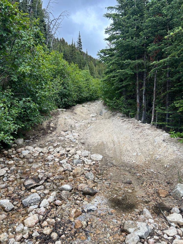
Just wanted to update that it was the same as described before. Went up with Forester. This photo I've included is representative of some water bars o...
Ashley Bronwyn - Jul 04, 2026Road condition is still manageable for a stock crossover. I made it up there with crosstrek.
There are 2 water bars that I had to cross very carefull...
Miller Bench FSR
29d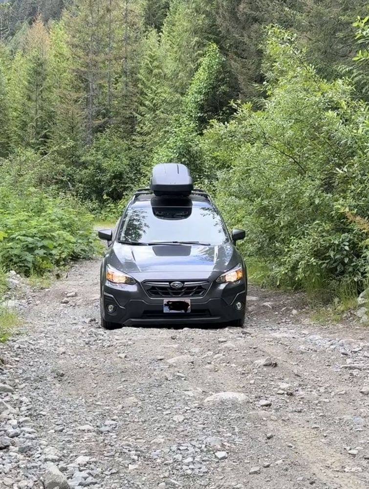
I made with a Crosstrek Stock. Even with a smaller car, I had a lot of scratching from overgrown vegetation.
Water bars were in the limit of depth ...
Great condition, AWD friendly. Mountain pass area from 33-36km is pretty spectacular. Turned around because I didn't fillup the tank before starting t...
Ben Soer - Jul 04, 2026Goat Lake Main
29dGreat condition until the 45.5km mark at the Dianne Lake Main. Logging traffic expected up until 41km mark, BR-1B seems to be active again. Two short ...
Stefan Feldmann - Jul 04, 2026EIGHT MILE
29d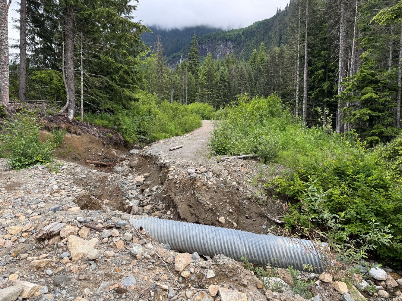
Great condition until 8km, small washout followed by an impassable one for all but ATVs. Following the washout, there are many smaller ones, and very ...
Geoff Doherty - Jul 04, 2026