Miller Bench FSR
Sea To Sky Natural Resource District
Distance
14.86 km
Last Road Report
Jul 10, 2026
Closures
No Posted Closures
Location
Miller Bench FSR
Permit Holder
District Manager Squamish (dsq)
Waypoints
Distance
14.86 km
Avg. Gradient
0%
Ascent
0m
Descent
0m
Last Road Report
Jul 10, 2026
Closures
No Posted Closures
Location
Miller Bench FSR
Permit Holder
District Manager Squamish (dsq)
Waypoints
Conditions
Start to 7.1 km
Good Condition
25d ago
7.1 to 14.9 km
Somewhat Degraded
13d ago
Notices
Wildlife Act - Vehicle Restrictions
This road may be affected by a motor vehicle prohibition zone from January 1 to December 31.Consult the regulations map for exemptions and further details: https://www2.gov.bc.ca/assets/gov/sports-recreation-arts-and-culture/outdoor-recreation/motor-vehicle-prohibitions/region-2/schedule-1/mvpr_1_75_ryan_river.pdf.
Description
No description.
Road Bulletins
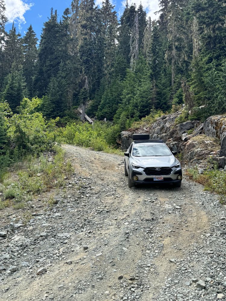
Road is rough, eroded in places with line choice mandatory in Crosstrek with AT tires and a lift. No problem for a true 4x4
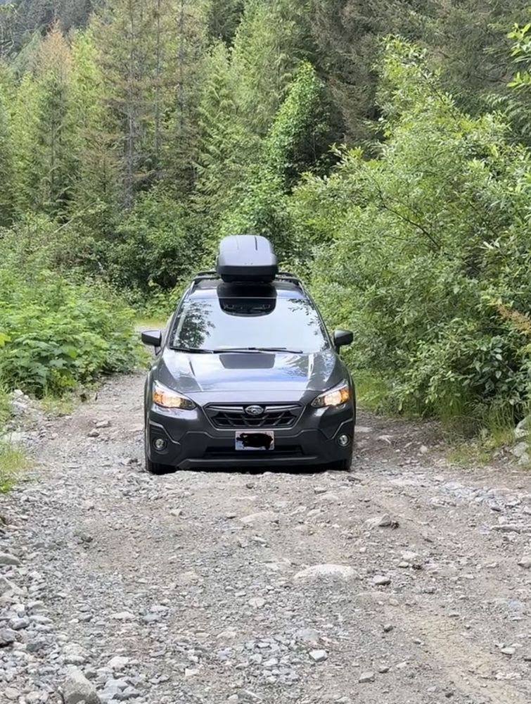
I made with a Crosstrek Stock. Even with a smaller car, I had a lot of scratching from overgrown vegetation.
Water bars were in the limit of depth that the crosstrek could handle without scratching the nose. km 11 to 13 is the most degrated section.
Vehicle specs: 8.7" of ground clearance with 18 degrees of approaching angle.
I wouldn't try in any vehicle with less than that.
Water bars were in the limit of depth that the crosstrek could handle without scratching the nose. km 11 to 13 is the most degrated section.
Vehicle specs: 8.7" of ground clearance with 18 degrees of approaching angle.
I wouldn't try in any vehicle with less than that.
Made it all the way to 15km with a low clearance SUV (~7.0 inch clearance). 11.5km to 12km is very loose and rocky, it would be helpful to use a spotter. If you are not comfortable with driving this section park before 11.5km. You are not too far away from the trailhead anyway. Btw if your SUV have > 8 inch of clearance, you are probably good without a spotter. Also, pinstripping is pretty bad.

The fallen logs were cleared, and I can push to 13.5km with my bronco with sasquatch with no issues. If there were no snow, I think we could all the way to the TH.
Road in generally good condition up to 8.5 km (2WD should be fine). Waterbars not too concerning. The snowline started shortly after. There are a couple downed trees afterwards that will require a chainsaw to let anything bigger than a snowmobile through. Can't comment on waterbars beyond 9KM because of snow.
Road in great condition to km11, there’s a number of waterbars that will block any vehicle without clearance. With careful driving, an SUV will have no issue to KM11. It gets pretty steep and rocky there for about 100m and our SUV couldnt make it. After that its more mellow but slush then snow appear after 1300m (jeep or taco would make it to km 12 with today’s conditions)


We drove north to Pemberton, then 7 km northwest on Pemberton Meadows Road, and finally turned onto Miller Bench FSR. The FSR was completely clear of snow, so I was able to drive my Tacoma all the way up to the trailhead at 1500 meters high, at the 12 km FSR mark. An AWD vehicle with enough clearance and power is definitely required, as there are washouts along the way and steep, rocky inclines on the FSR.