Seymour River FSR - "Seymour Watershed Road"
Chilliwack Natural Resource District
Distance
35.18 km
Last Road Report
Jul 21, 2026
Closures
Indefinitely Closed
Location
Seymour River FSR
Permit Holder
Metro Vancouver Regional District
Waypoints
Distance
35.18 km
Avg. Gradient
0%
Ascent
0m
Descent
0m
Last Road Report
Jul 21, 2026
Closures
Indefinitely Closed
Location
Seymour River FSR
Permit Holder
Metro Vancouver Regional District
Waypoints
Conditions
Start to 2.7 km
Good Condition
305d ago
2.7 to 33.4 km
Unknown
3d ago
33.4 to 35.2 km
Good Condition
3d ago
Notices
Road Closure Notice
Permanently closed to the public as it's a watershed access road.Description
No description.
Road Bulletins
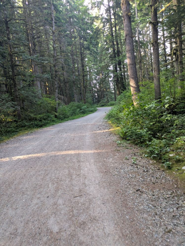
Road is really good, narrow in some parts. Watch for cyclists, runners, and dogs. I went up 1KM but went left to Rice Lake. Probably the same conditions going up, but not sure...
I suspect some bad data here (or this road should be split into two or three sections).
Most importantly, public access IS allowed but only as far as the Seymour Dam (19.5km point on current GPX) on foot or bicycle.
North of that point is watershed so no public access beyond.
South of the dam, the FSR is known locally as Spur 4. Public access to that point is via Fisherman's Trail, a popular and very well maintained hiking/biking trail.