A79656 CP991/WIF040
Cariboo-chilcotin Natural Resource District
Distance
2.08 km
Last Road Report
Jul 08, 2026
Closures
No Posted Closures
Location
A79656 CP991/WIF040
Permit Holder
Tolko Industries Ltd.
Waypoints
Conditions
Start to 0.2 km
Good Condition
97d ago
0.2 to 2.1 km
Somewhat Degraded
97d ago
Description
No description.
Road Bulletins
Distance Travelled
10.10km
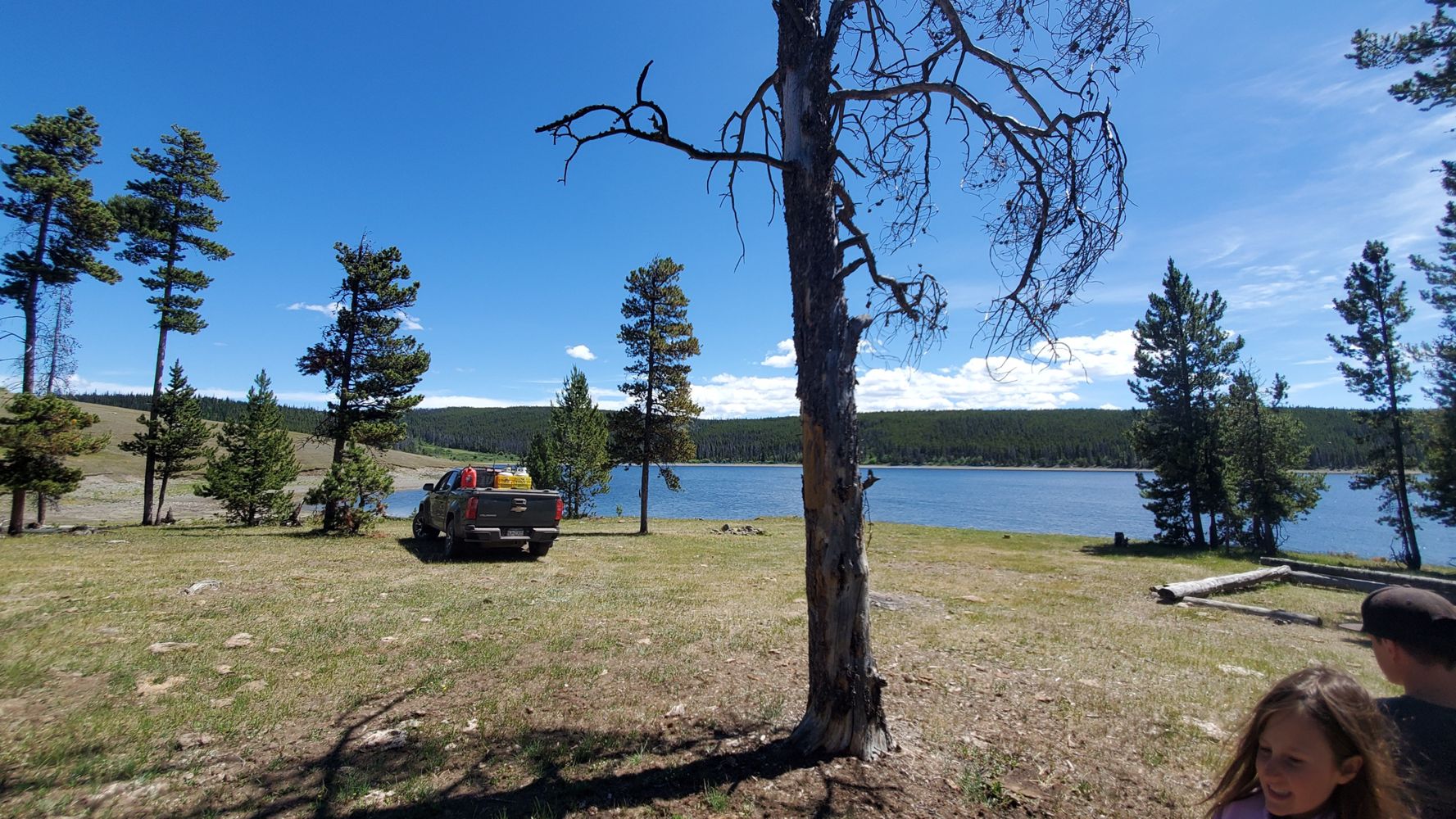
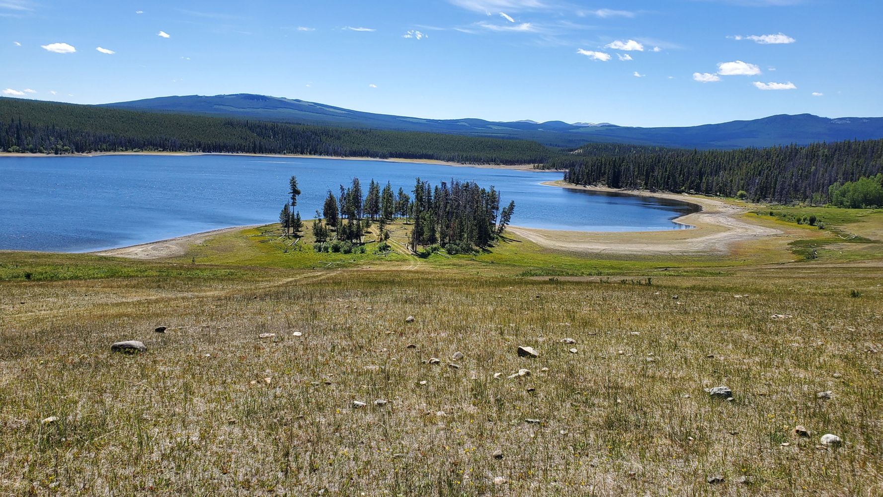
Took this mud doubletrack all the way to Gaspard lake, Turn off is unmarked but just after the cattlegate in the bottom of the draw when traveling south. Seems to be much more traveled by cattle than by vehicles. Always seems to be threatening to give out but does actually go all the way through and stays consistently okay. Would not want to travel if wet. There are a couple open and close cattle gates to go through. Not sure if the road number remains the same, but as it passes through the meadows above Gaspard Lake it does degrade to very rutted. Stock pickup with good tires will be fine, in dry conditions, carried us through to the corrals.
Distance Travelled:
2.07 km
Distance Travelled
10.10km
Road is a bit too rough for a 2wd but any AWD or 4wd should be fine. The road actually extends further than is shown on the map. It continues on approx 9 km to the dam at the east end of Gaspard Lake.