BLOCK C454
Sea To Sky Natural Resource District
Distance
1.82 km
Last Road Report
Jul 20, 2026
Closures
No Posted Closures
Location
BLOCK C454
Permit Holder
Western Forest Products Inc.
Waypoints
Conditions
Start to 0.3 km
Unknown
71d ago
0.3 to 0.4 km
Heavily Degraded
71d ago
0.4 to 1.3 km
Somewhat Degraded
71d ago
1.3 to 1.8 km
Good Condition
71d ago
Description
No description.
Road Bulletins
Distance Travelled
10.10km
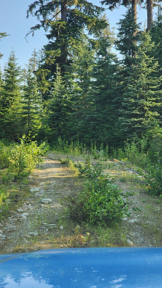
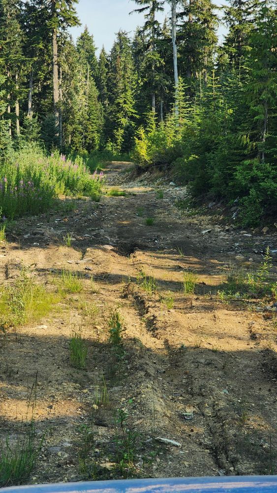
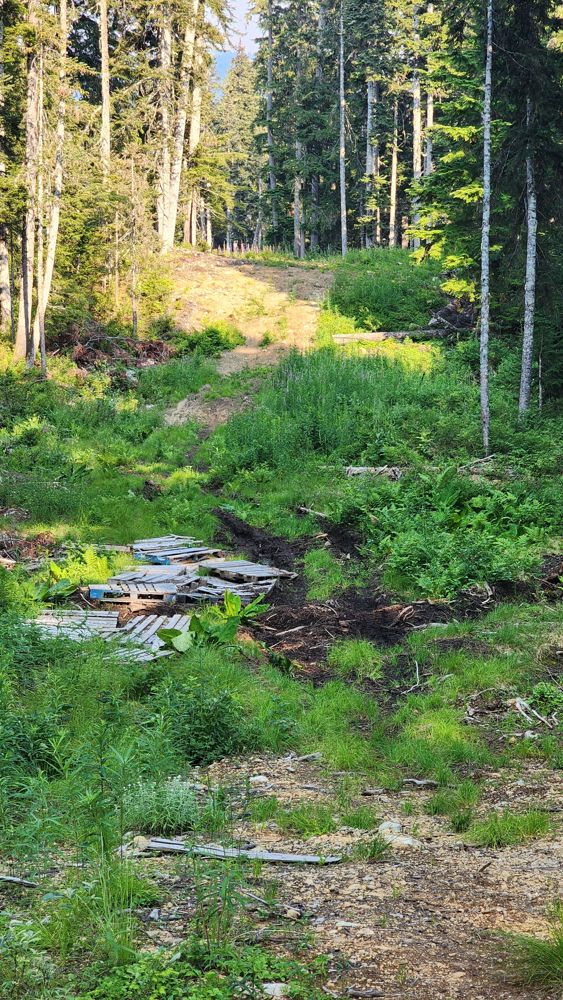
Tried to do the loop in my Pilot. Gets more overgrown I think after the creek. Instead of grass growing in center line, it's small bushes. Luckily, no rocks hidden in the bushes to strike my undercarriage. Road gets more degraded further you go. Around 0.5 km, there's a patch of dried mud. Looks like it can get bad if wet. I don't remember seeing the road continue to 0 km, but followed the dotted line. Another muddy patch at 50.12350° N, 123.14134° W will require 4x4 HC. There's also a bunch of pallets lined on the side as a "road".
Distance Travelled:
1.82 km