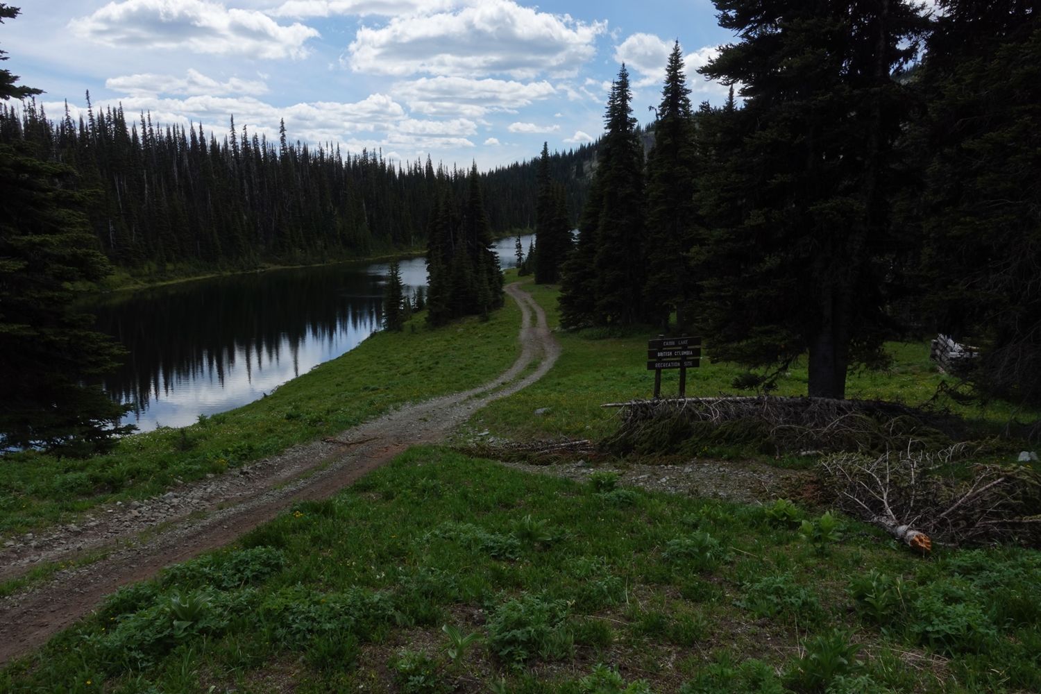
Cabin Lake Spur
Cascades Natural Resource District
Distance
6.23 km
Last Road Report
Jun 23, 2026
Closures
No Posted Closures
Location
Not Specified
Permit Holder
District Manager Cascades (dcs)
Waypoints
Distance
6.23 km
Avg. Gradient
0%
Ascent
0m
Descent
0m
Last Road Report
Jun 23, 2026
Closures
No Posted Closures
Location
Not Specified
Permit Holder
District Manager Cascades (dcs)
Waypoints
Conditions
Start to 4.0 km
Heavily Degraded
66d ago
4.0 to 6.2 km
Heavily Degraded
690d ago
Notices
Wildlife Act - Motor Vehicle Prohibition
This road may be affected by a motor vehicle prohibition zone from May 1 to November 30.Consult the regulations map for exemptions and further details: https://www2.gov.bc.ca/assets/gov/sports-recreation-arts-and-culture/outdoor-recreation/motor-vehicle-prohibitions/region-3/schedule-1/mvpr_1_53_stoyoma_mountain.pdf.
Description
Upper spur road that can be use to access the Stoyoma Mountain area
Road Bulletins
Trail clear. It looks like someone went through and cut some of the overgrowth and other fallen trees out of the way so it wasn't too bad.
Unchanged since previous reports. Snow line started around the 4km mark

Trail is clear to the lake but it's rough pretty much the whole way.
Made it to around the 4.5km mark today and the trail becomes snow covered still.


As soon as you turn off Miner A onto this road it becomes immediately worse. Large loose rock though out its entirety and plenty of alder. Some sections it feels like you're driving up a riverbed. However, like Mike said if you got past the washouts there is nothing here that will stop you. There is a couple small cross ditches but its just really bumpy and slow going.
This road is in rough condition. Having said that, if you have made it this far through the 3 washouts, you should be fine getting to cabin lake.