High Bar Road
Cascades Natural Resource District
Distance
31.87 km
Last Road Report
Jul 06, 2026
Closures
No Posted Closures
Location
Not Specified
Permit Holder
Not Specified
Waypoints
Distance
31.87 km
Avg. Gradient
0%
Ascent
0m
Descent
0m
Last Road Report
Jul 06, 2026
Closures
No Posted Closures
Location
Not Specified
Permit Holder
Not Specified
Waypoints
Conditions
Start to 5.2 km
Good Condition
17d ago
5.2 to 31.9 km
Somewhat Degraded
42d ago
Notices
Llenllenéy’ten First Nation Private Land
This road crosses through Llenllenéy’ten (High Bar) First Nation reserve and is considered private property. Llenllenéy’ten First Nations have requested this notice be posted to inform users and deter trespassing.Description
No description.
Road Bulletins
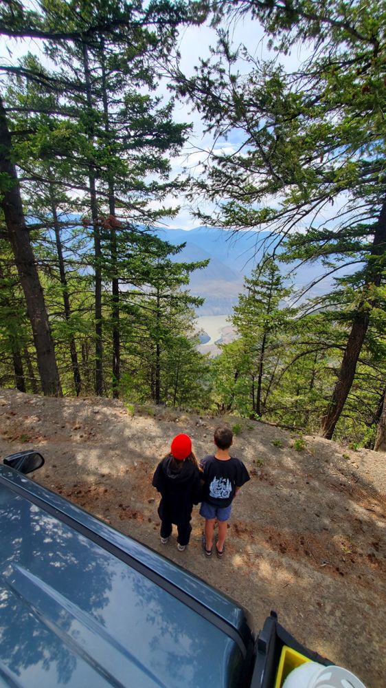
Good AWD condition from Jesmond Rd to top of switchbacks, did not proceed as we'd not spoken to HBFN. Wow that's quite a drop! Iconic grade sign seems to be gone?
Edit: I think we stopped short of Cougar Point proper, so sign may still be there. Oh well, good reason to go back.
Edit: I think we stopped short of Cougar Point proper, so sign may still be there. Oh well, good reason to go back.
Some talus slumps across the road on the switchbacks at the southern end (need a grader to clear) but still drive-able with high clearance 4x4 or adventure motorcycle. Gates at both ends of the High Bar Reserve boundaries but remain unlocked. Absolutely beautiful drive.
This route crosses Llenllenéy’ten (High Bar) First Nation reserve roads that are not open to the public and are within culturally important and sensitive territory. There are serious safety risks and no reliable cell service.
As Llenllenéy’ten (High Bar) First Nation, we request that this route be removed or marked closed and private, with a clear notice that there is no public access.
As Llenllenéy’ten (High Bar) First Nation, we request that this route be removed or marked closed and private, with a clear notice that there is no public access.


Paying attention to the road can be challenging due to the obtrusive views. Some steep and loose sandy sections on the switchbacks at the south end of the road. Unlocked gate at the south boundary of High Bar First Nation land (~12km).