Recent Bulletins


Good condition to junction. I don't think it continues after, but can't remember. Also satellite shows it overgrown.
Gavin - Oct 25, 2026
Good condition to 6.9 km washout. Wasn't too sure about driving over the logs that filled the ditch. Didn't want it flicking up. Also, might not have ...
Gavin - Oct 25, 2026


Steep and narrow, but very lush and green sections. AWD friendly. Turning around is a little precarious, even with a crossover. After the intersection...
Ben Soer - Oct 25, 2026TRUCK ROAD 4
7hGood condition AWD. Quickly started getting rough so turned around. This road does have a warning at the beginning that it has sections where steepnes...
Ben Soer - Oct 25, 2026MUNRO LAKE
13hSwitchbacks are rocky and slippery. 2WD probably have a hard time. ORV and HC 4WD only
Me Ow - Oct 23, 2026MUNROE CREEK 19L
13hCP 319 LAW CREEK
13hLarge fir down on road; tree is cut but only passable by foot, or ORV.
Multiple smaller trees down on road, removal possible but dead trees falling d...
CP 319 LAW CREEK
13hTWELVE MILE
16hFreshly cleared. Bumpy, muddy surface. Active logging, use caution. Overgrown with alders after WB209-1 junction.
Geoff Doherty - Oct 24, 2026WB209-1
16hBERKEY
16h
Road Updates
Bear Creek FSR
 has been removed at 49.471, -121.758
Bear Creek FSR
New
has been reported at 49.469, -121.757
Bear Creek FSR
Road conditions have been updated to:
Bear Creek FSR
 has been verified at 49.456, -121.705
Bear Creek FSR
has been verified at 49.471, -121.758
MID GORDON RIVER
Road conditions have been updated to:
Heather Lake MainNew
Road added in the South Island Natural Resource District region
Redbed MainNew
Road added in the South Island Natural Resource District region
Sadie Peak MainNew
Road added in the South Island Natural Resource District region
LS-300New
Road added in the South Island Natural Resource District region
Hooper MainNew
Road added in the South Island Natural Resource District region
Shaw Lake MainNew
Road added in the South Island Natural Resource District region
Service MainNew
Road added in the South Island Natural Resource District region
Panther 210New
Road added in the South Island Natural Resource District region
Thistle Mine RoadNew
Road added in the South Island Natural Resource District region
MUNRO LAKE
Road conditions have been updated to:
MUNROE CREEK 19L
Road conditions have been updated to:
GLEN LAKE
Road conditions have been updated to:
78I
Road conditions have been updated to:
78I
New
 has been reported at 49.594, -120.009
78I
New
 has been reported at 49.590, -120.005
CP 319 LAW CREEK
Road conditions have been updated to:
Free to Use and Community Driven
Get up-to-date information about back country roads all over British Columbia, Alberta and the Yukon. Created by the community, for the community.
Detailed Reports
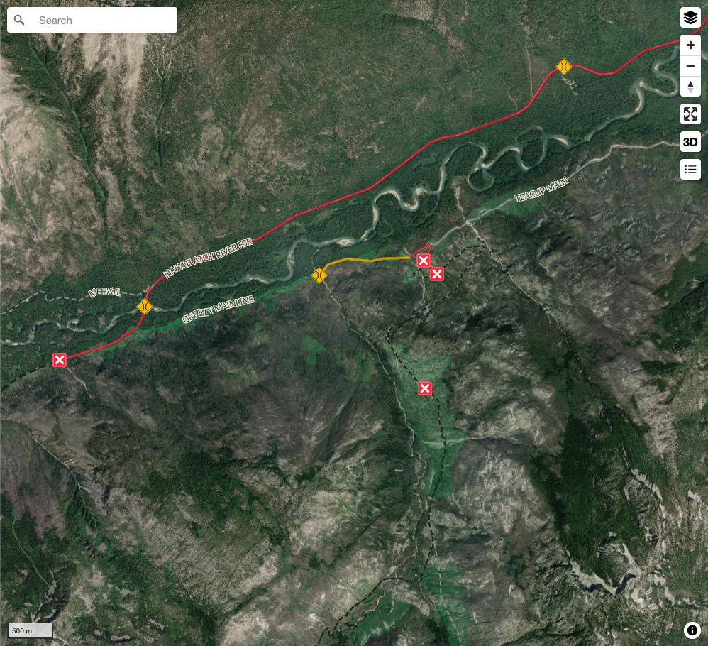
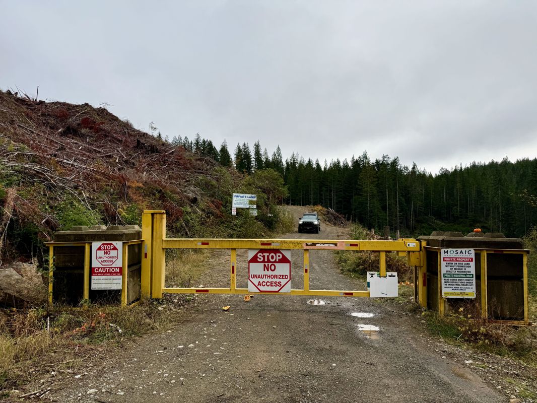
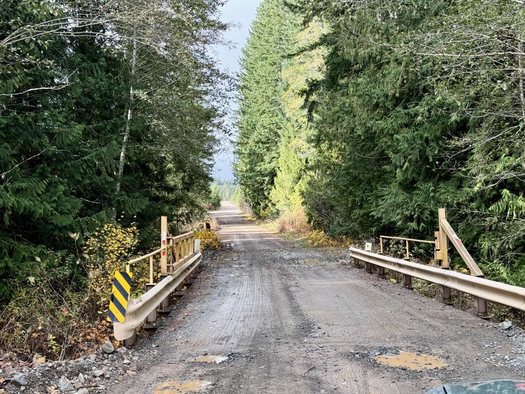
View road conditions broken down kilometer by kilometer and find the latest status on gates, bridges and washouts. Explore user submitted road reports and contribute your own with an easy-to-use road report system!
Explore the over 260,000 roads on the map and keep the community strong by sharing what you find on your adventures.
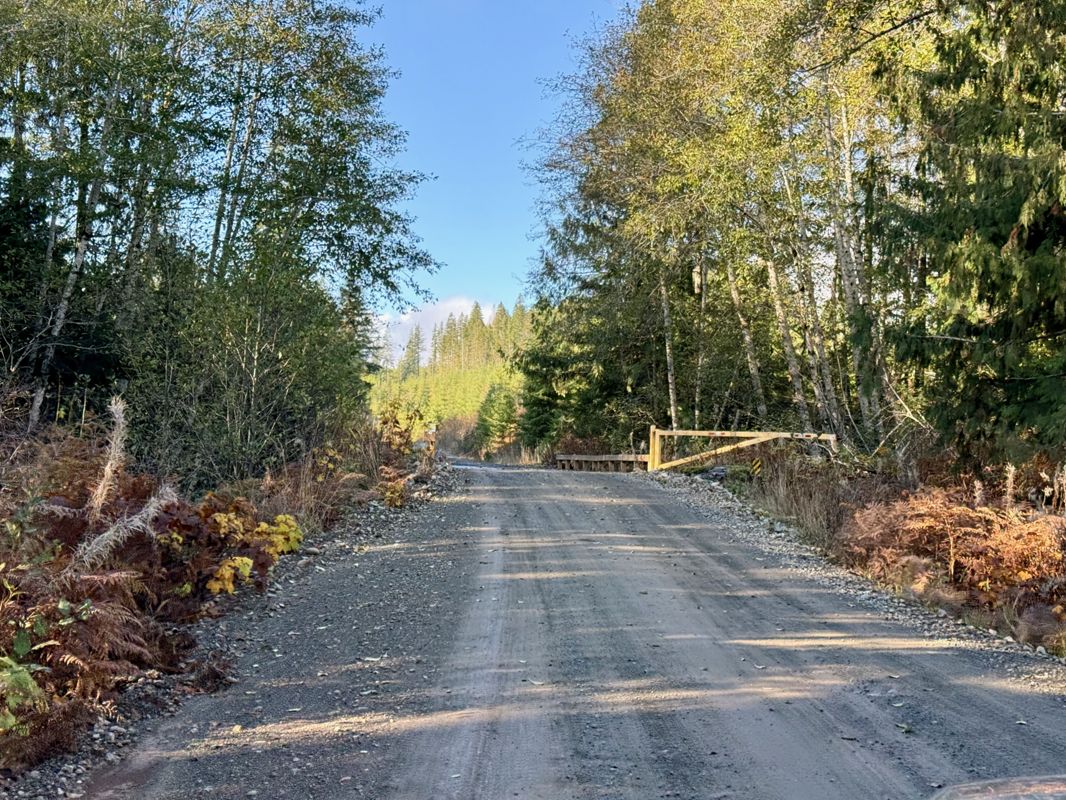
Toma Main
New  has been reported at 49.514, -125.126
Map Layers
Find cut block data, wildlife closure zones, recent satellite imagery and a host of base maps to make your planning a breeze.
Offline Road Data
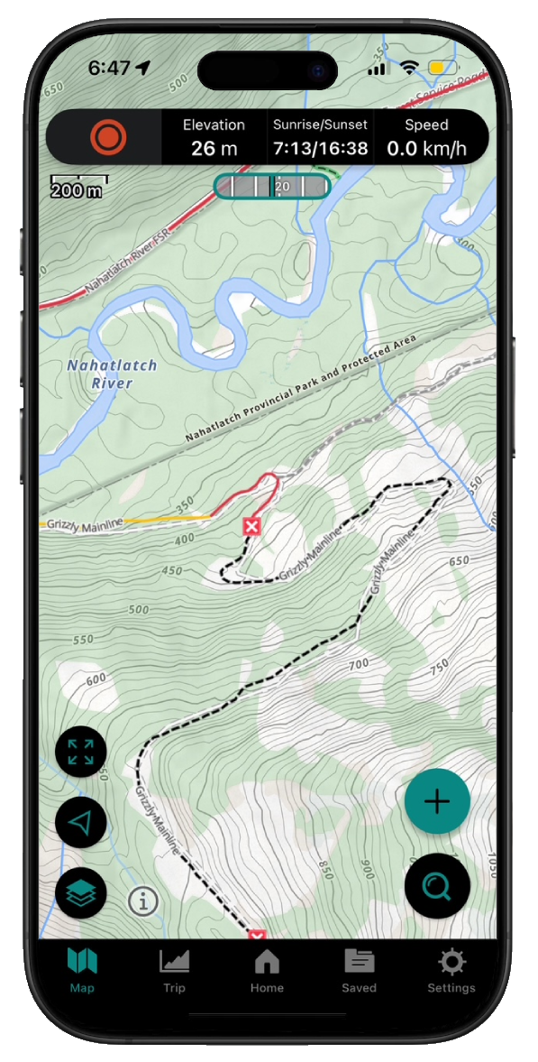
Take service road information offline with your favourite mapping application. The Service Road Atlas supports road downloads and offline use in apps like Gaia, OSMAnd, Caltopo and more.