Squamish River Upper FSR - "Squamish River FSR"
Sea To Sky Natural Resource District
Distance
18.58 km
Last Road Report
Jun 21, 2026
Closures
No Posted Closures
Location
Squamish River Upper FSR
Permit Holder
Northwest Squamish Forestry Ltd.
Waypoints
Distance
18.58 km
Avg. Gradient
0%
Ascent
0m
Descent
0m
Last Road Report
Jun 21, 2026
Closures
No Posted Closures
Location
Squamish River Upper FSR
Permit Holder
Northwest Squamish Forestry Ltd.
Waypoints
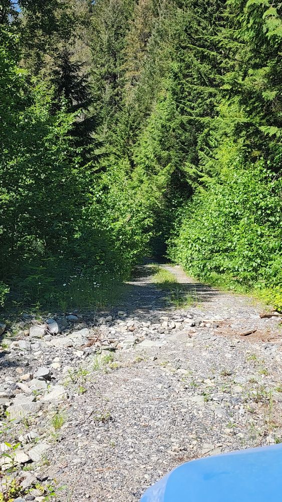
Conditions
Start to 12.8 km
Good Condition
32d ago
12.8 to 12.9 km
Somewhat Degraded
32d ago
12.9 to 13.7 km
Good Condition
433d ago
13.7 to 16.4 km
Good Condition
678d ago
16.4 to 18.6 km
Impassable
678d ago
Description
No description.
Road Bulletins
2 km gate open. Road is cleared and open past 13 km. There's some erosion there that gotten slightly worse since last year. I probably could have cleared it again, but turned around anyway.
See report for the Squamish Valley FSR. Similar conditions with a lot of deadfall and a few sections where rocks (which you could likely roll out of the way by hand) have peppered the road. Easy to bike through.
Totally snow free and in great condition. Narrows after Elaho turn off, but in great condition. Very passable with 2wd
Mostly good condition with patches of thin ice/snow. Evidence of some rockfall on the road with small rocks strewn about in sections, but easily avoided or driven over with a Subaru Forester. Chains recommended @ ~7km


The last two kilometers shown on the map are not driveable. At the junction with s-900/s-910 there is tape across the road before a bridge. After the bridge the road is overgrown. On my mapping app this portion is called eastmain.
The previous report reporting deactivation is wrong. It was a culvert replacement. It is now done and the area is drivable again.

Wasnt really worth the rough drive up to the end. road has been deactivated at 50° 11' 16.01" N, 123° 22' 23.25" W . I dont think even moto could get by. theres a creek just behind the wood stack thats just running.