CALLAGHAN
Sea To Sky Natural Resource District
Distance
6.32 km
Last Road Report
Jul 20, 2026
Closures
No Posted Closures
Location
CALLAGHAN
Permit Holder
District Manager Squamish (dsq)
Waypoints
Conditions
Start to 4.0 km
Good Condition
131d ago
4.0 to 6.3 km
Good Condition
88d ago
Description
No description.
Road Bulletins
Distance Travelled
10.10km
Went in the other end. Same good condition as rest of road. 6 km gate open. Slightly rougher where they were logging.
When I was going up, I misread the sign at the 5 km bridge and took the shortcut up. It may have been an ATV trail as it was steep, tight, winding, and a bit rough. Dotted line on the map. Made it all the way in my Pilot no issues. Saw the ATV and SxS tours coming up the same way when I stopped at the top.
Skipped the shortcut coming back down and just took the main FSR.
When I was going up, I misread the sign at the 5 km bridge and took the shortcut up. It may have been an ATV trail as it was steep, tight, winding, and a bit rough. Dotted line on the map. Made it all the way in my Pilot no issues. Saw the ATV and SxS tours coming up the same way when I stopped at the top.
Skipped the shortcut coming back down and just took the main FSR.
Distance Travelled:
6.32 km
Distance Travelled
10.10km
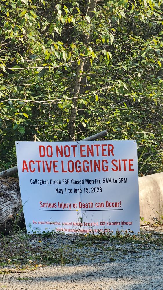
Decent condition to 4 km junction. Several sections of logging next to road. Multiple log piles and machine parked on side. No industrial activity on a Sunday.
Distance Travelled:
4.04 km
Distance Travelled
10.10km
The gate at the highway is open right now!
Distance Travelled
10.10km
No access from the highway - snowmobile club have a makeshift gate/barrier installed & it is snow-covered & groomed for the winter. Canadian Wilderness Adventures have plowed about a KM of the road from the other end, after that it's snow-bermed, covered in snow & presumably used for snowmobile tours. Check back next year.