Ore Creek FSR
Cascades Natural Resource District
Distance
8.72 km
Last Road Report
Jun 27, 2026
Closures
No Posted Closures
Location
Ore Creek FSR
Permit Holder
Aspen Planers Ltd.
Waypoints
Distance
8.72 km
Avg. Gradient
0%
Ascent
0m
Descent
0m
Last Road Report
Jun 27, 2026
Closures
No Posted Closures
Location
Ore Creek FSR
Permit Holder
Aspen Planers Ltd.
Waypoints
Conditions
Start to 5.0 km
Somewhat Degraded
26d ago
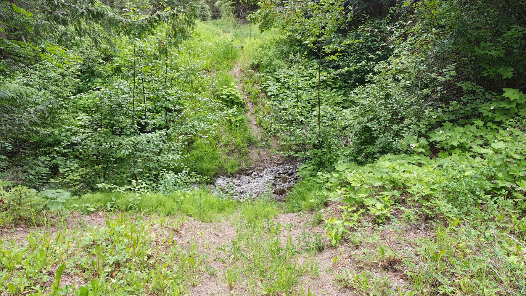
5.0 to 5.3 km
Heavily Degraded
26d ago
5.3 to 8.7 km
Somewhat Degraded
26d ago
Description
No description.
Road Bulletins
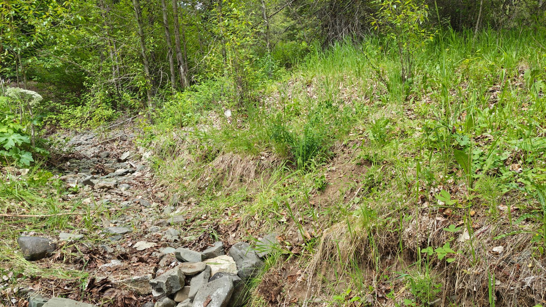
Basically what others have said but:
- rly only one sloped part that wasn't bad
- the "impasse" is not impassable. 3rd gen grand Vitara on 30" tires got in and had front tires climbing. We stopped cause I might've ran out of approach before my rear dropped all the way down. 70% chance I could've just throttled through it but no winch so if the 30% chance happened we'd have a very bad day. But a proper 4wd with good angles can get thru this.
- after there's one deep water bar and then the road is in decent shape tbh. Just grassy. Bring a chainsaw tho. A few deadfall


Road bed is good. Minor water bars. Some blowdown that has been cut recently so pack a chainsaw just incase. The road is naturally re-sloping itself so minor rock fall comes down. There was 2 sections where the road gets pretty narrow due to the re-sloping nature. 1994 Toyota Pickup felt okay, but any wide pickups and it will feel pretty iff having your passenger tire on the low side of the road. Can only drive 5km before hitting the missing bridge over Ore creek which is now just a deep ditch. I rode my dirtbike thru it and dirtbiked to the end of the road with ease.