Meadow Mountain FSR
Selkirk Natural Resource District
Distance
22.59 km
Last Road Report
Jul 05, 2026
Closures
No Posted Closures
Location
Meadow Mountain FSR
Permit Holder
Selkirk Forest District
Waypoints
Conditions
Start to 16.0 km
Good Condition
100d ago
16.0 to 19.0 km
Somewhat Degraded
100d ago
19.0 to 22.6 km
Somewhat Degraded
779d ago
Description
No description.
Road Bulletins
Distance Travelled
10.10km
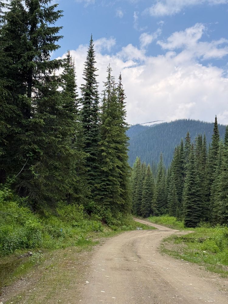
Smooth on the lower portion, with small waterbars further up. The waterbars gradually increase in size in the upper portion as does the overall roughness of the road. I've moved the divide to "somewhat degraded" up to km16 where it starts to climb more steeply, but the condition change is gradual.
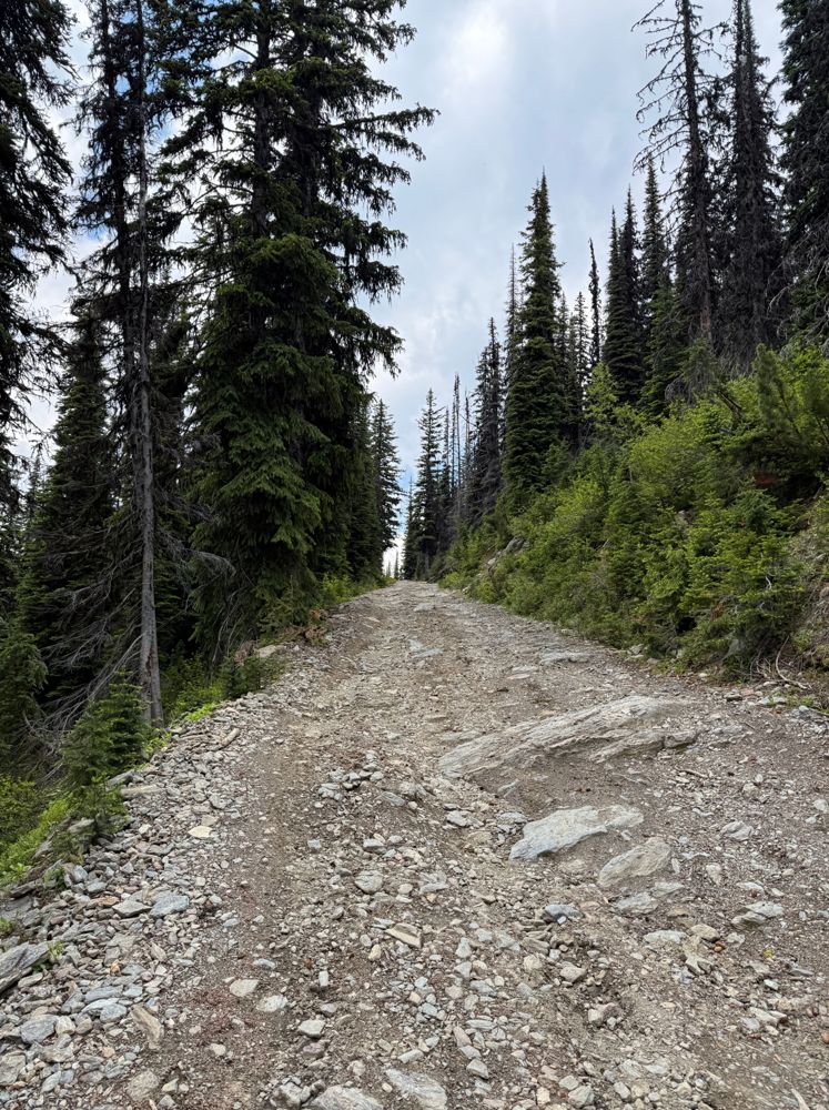
I turned back at km19 where it got rather rough at a steep section with a couple of boulders sticking out a little, but I'm sure it would have been fine to keep going with caution. Was getting close to snowline at this point, with a few patches remaining at the sides.
I turned back at km19 where it got rather rough at a steep section with a couple of boulders sticking out a little, but I'm sure it would have been fine to keep going with caution. Was getting close to snowline at this point, with a few patches remaining at the sides.
Distance Travelled:
22.59 km
Distance Travelled
10.10km
[From Sandra B] - MEADOW Mountain was awesome what a sporty last 5 km before entering an incredible high alpine rec site. Equipped.with pic nic tables. Outhouses and high alpine tarns/ lakes.
See: https://www.facebook.com/share/p/5MLkX6Axnk2TPeXg/
See: https://www.facebook.com/share/p/5MLkX6Axnk2TPeXg/

Distance Travelled
10.10km
Drove to the BC Parks A-Frame at 21.5 KM in a Tacoma. Nothing too difficult, but a narrow road that you would not want to meet another vehicle going up. I'd say HC 4x4, but I am sure someone has limped a LC 2wd up there. There is a decent trail heading to the south ridge of Meadow Mt from behind the A-Frame, but it becomes indiscernible after -400 m. All good, the way up is straight forward
Distance Travelled:
22.59 km