Wildfire Restrictions in Effect
Recent Bulletins
HUGH ALLAN ML
58mRockfall and treefall on road, passable in SUV/4X4. Some rocks and trees cleared by user. Road is not maintained. Travelled to 13km.
Big Blue FJ - Aug 21, 2026EAST CANOE
1hRockfall on road, passable in SUV, SXS. Treefall on road but cleared by road users and passable to end of Canoe.
Big Blue FJ - Aug 21, 2026EAST CANOE
1h
Can be driven to access Mount PRevost summit Loop hiking trail, paragliding launch & for MTB shuttling. Reportedly in good conditino apart from a few ...
Sean Caulfield - Aug 29, 2026Road has been improved to about 7 km, most likely in anticipation of a large harvest plan West Fraser has for the Deadman's Pass area. After that it i...
Greg Jones - Aug 30, 2026
MOMICH CREEK
19hSome of the hills have embedded rock. 4WD cars will have to be careful. This road has places where it may be difficult to pass if the road is very wet...
Lyle Killough - Aug 27, 2026OK for any vehicle with good clearance. There are spots where 4WD may be required if the road is wet.
Lyle Killough - Aug 27, 2026KELLY RIVER
19hFrom KM 6 to 11:
Steep. Water bars. Bushed in. On a loaded KLR650 the big water bar at about KM 11 was the end. Google says you can drive a car throu...
KELLY RIVER
19hThere are a few minor water bars that any vehicle with clearance would handle.
Lyle Killough - Aug 29, 2026RICH W
19hThe road is in pretty good condition, but it is relentlessly steep and in the wet it can be very slippery where not covered in gravel. It just dies in...
Lyle Killough - Aug 29, 2026ADAMS EAST
19h1000
21h


I found out more details about this road from the shop owner in Jade City. She stated they’re actively mining at around 88km but the road is not acces...
Francis Bailey - Aug 29, 2026


Reasonably easy to drive in 4x4 truck with a mandatory creek crossing at 3km. No problem in a truck but probably not doable in a lower clearance vehic...
Francis Bailey - Aug 28, 2026Road Updates
EAST CANOE
Road conditions have been updated to:
EAST CANOE
Road conditions have been updated to:
Mount Prevost RoadNew
Road added in the South Island Natural Resource District region
Window Mountain Spur
Road conditions have been updated to:
Allison Creek FSR
Road conditions have been updated to:
SEYMOUR RIVER
Road conditions have been updated to:
KELLY RIVER
Road conditions have been updated to:
KELLY RIVER
Road conditions have been updated to:
Lowther Peak Mine Road
Road conditions have been updated to:
Marble Creek Mine Road
Road conditions have been updated to:
MCGREGOR-GLEASON FSR
New  has been reported at 54.141, -121.251
Squamish River Branch 250
Road conditions have been updated to:
Squamish River Branch 250
 has been removed at 49.973, -123.254
Squamish River Branch 250
Road conditions have been updated to:
Squamish River Branch 250
New has been reported at 49.975, -123.253
Squamish River Branch 250
New has been reported at 49.973, -123.254
Squamish River Branch 250
New has been reported at 49.963, -123.259
Squamish River Branch 250
has been removed at 49.962, -123.26
Squamish River FSR
Road conditions have been updated to:
Free to Use and Community Driven
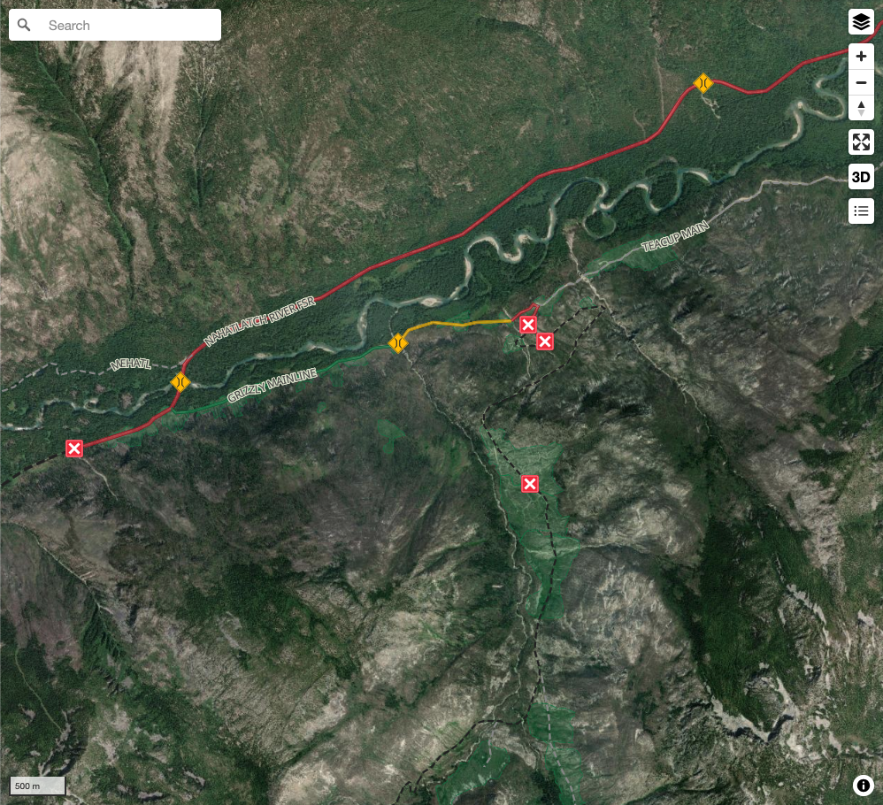
Get up-to-date information about back country roads all over British Columbia, Alberta and the Yukon. Created by the community, for the community.
Detailed Reports
View road conditions broken down kilometer by kilometer and find the latest status on gates, bridges and washouts. Explore user submitted road reports and contribute your own with an easy-to-use road report system!
Explore the over 260,000 roads on the map and keep the community strong by sharing what you find on your adventures.
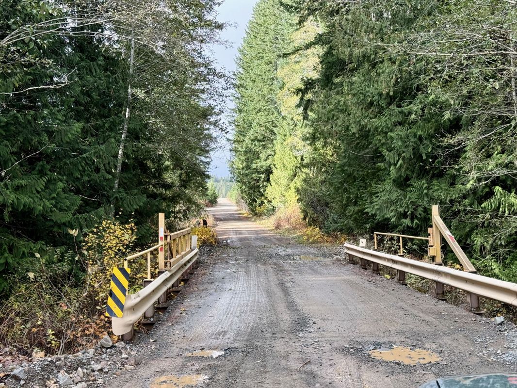
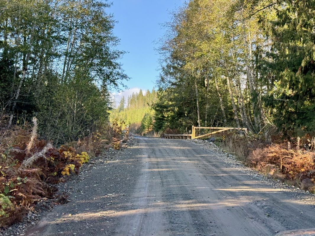
Toma Main
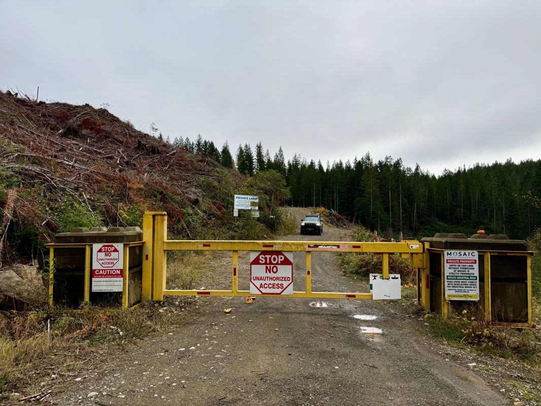
New  has been reported at 49.514, -125.126

Map Layers
Find cut block data, wildlife closure zones, recent satellite imagery and a host of base maps to make your planning a breeze.
Offline Road Data
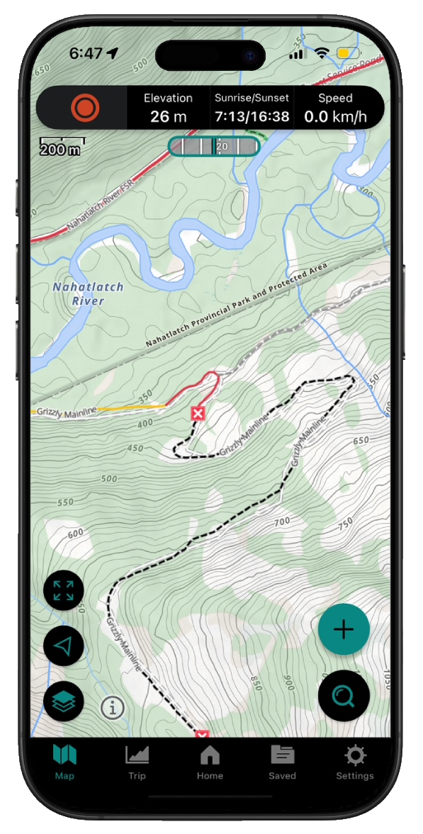
Take service road information offline with your favourite mapping application. The Service Road Atlas supports road downloads and offline use in apps like Gaia, OSMAnd, Caltopo and more.