Mamquam FSR
Sea To Sky Natural Resource District
Distance
22.60 km
Last Road Report
Jun 14, 2026
Closures
No Posted Closures
Location
Mamquam FSR
Permit Holder
Timber Sales Manager Chinook
Waypoints
Distance
22.60 km
Avg. Gradient
0%
Ascent
0m
Descent
0m
Last Road Report
Jun 14, 2026
Closures
No Posted Closures
Location
Mamquam FSR
Permit Holder
Timber Sales Manager Chinook
Waypoints
Conditions
Start to 16.0 km
Good Condition
39d ago
16.0 to 22.6 km
Good Condition
705d ago
Description
No description.
Road Bulletins
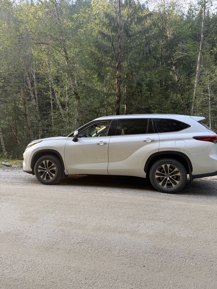
went up to the 16km mark, smooth surface most of the way. few potholes, very manageable. 50+ km/h is very possible. some loose rocks after 13km. done in 2020 highlander awd with highway tires.
Road closed Aug 1-31, according to the BC gov't Resource road page.
"August 1, 2025 - August 31, 2025: Road closed at 23km for bridge installation. "
"August 1, 2025 - August 31, 2025: Road closed at 23km for bridge installation. "
Smooooth surface.. hard packed snow and ice. Bring chains!!! Multiple cars, trucks and even a police SUV in the ditch!
Busy but in good condition. They are watering the roads up to the Ray Basin FSR at the 7km mark. Afterwards it's exceptionally dusty
[From FortisBC] - the road is getting regarded as part of the ongoing EGP project all the way up Ray Basin (Indian River FSR junction)
The road is in good shape to the end of the segment, km 22 on this map. Any car could easily travel that far.