Recent Bulletins
MAM1500
19m
I drove by the start of this road, it appears to be re-activated. There is a water bar at the start.
Martin Ortmayr - Oct 04, 2026
Washouts are fixed. Road is in decent AWD condition, just a few loose and rocky sections.
Gavin Luymes - Oct 04, 2026Road is rough, rocky, and rutted. Felt like ATV or 4x4 HC terrain, wouldn't take my Subaru up here.
Gavin Luymes - Oct 04, 2026MA2800
3hGood condition, logging seems to be finished. The road goes to 49.6908,-122.9606. A couple of light waterbars start where MA2820 spur branches off.
Martin Ortmayr - Oct 04, 2026
Camped at Maid Lake after accessing via overgrown road from the south. Impassable deactivation ditch at the lake outlet / not possible to connect to F...
Sean Caulfield - Jun 27, 2026Very overgrown (pinstripes guaranteed) but I don't remember any major obstacles. With gates now open in this area it's probably possible (& easier) to...
Sean Caulfield - Jun 27, 2026I checked Oct 1, 2026. Was planning to walk up a bit and see how driveable road is. Still closed as per security guard unfortunately. No ETA they are ...
Cheryl Martin - Oct 01, 2026


Gate at start open, but gravity seems to pull into the path, so watch out. Good condition to 0.7 km. Multiple water bars after. Scraped skid plate and...
Gavin - Oct 04, 2026Road Updates
Maid Lake Main
Road conditions have been updated to:
Maid Lake ALTNew
Road added in the South Island Natural Resource District region
Norrish Creek FSR
 has been verified at 49.229, -122.137
3-N
has been changed to
 at 49.199, -122.154
NIC
Road conditions have been updated to:
EN100
Road conditions have been updated to:
NC142
Road conditions have been updated to:
NORRISH WEST MAIN NWM
Road conditions have been updated to:
NORRISH WEST MAIN NWM
Road conditions have been updated to:
NORRISH WEST MAIN NWM
New
has been reported at 49.293, -122.133
NC165A
Road conditions have been updated to:
NC130A
New
has been reported at 49.304, -122.088
San Juan Branch 100
New
 has been reported at 48.524, -124.087
San Juan Branch 100
 has been removed at 48.524, -124.087
North Air Branch 2
Road conditions have been updated to:
Free to Use and Community Driven
Get up-to-date information about back country roads all over British Columbia, Alberta and the Yukon. Created by the community, for the community.
Detailed Reports
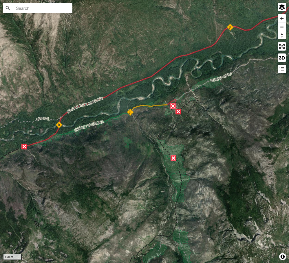
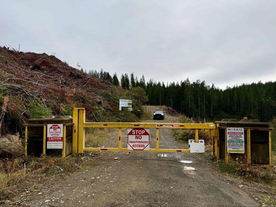
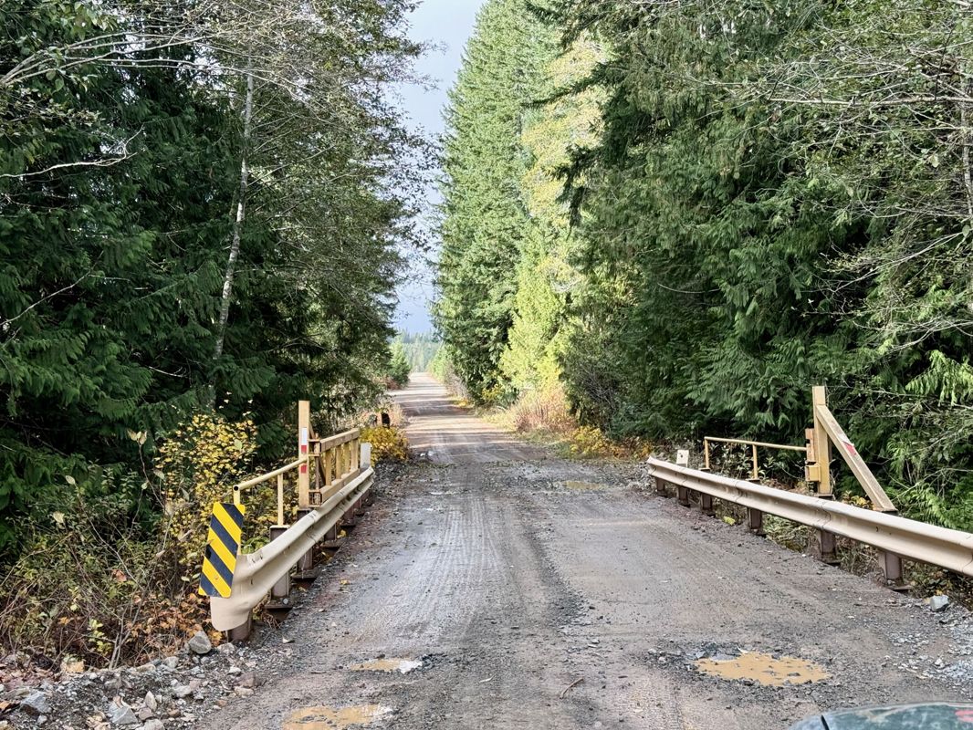
View road conditions broken down kilometer by kilometer and find the latest status on gates, bridges and washouts. Explore user submitted road reports and contribute your own with an easy-to-use road report system!
Explore the over 260,000 roads on the map and keep the community strong by sharing what you find on your adventures.
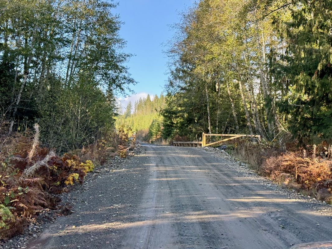
Toma Main
New has been reported at 49.514, -125.126

Map Layers
Find cut block data, wildlife closure zones, recent satellite imagery and a host of base maps to make your planning a breeze.
Offline Road Data
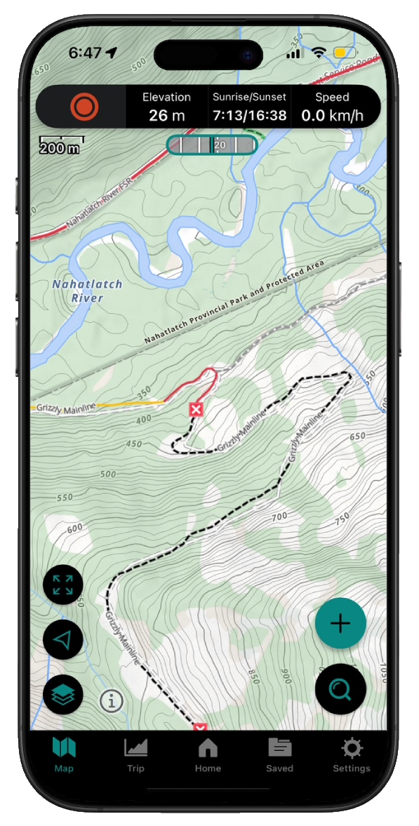
Take service road information offline with your favourite mapping application. The Service Road Atlas supports road downloads and offline use in apps like Gaia, OSMAnd, Caltopo and more.