Recent Bulletins


MEAGERCR S
4h
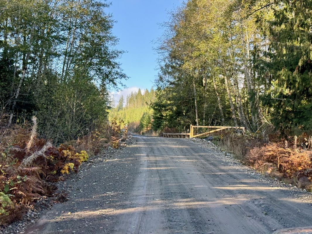
Gate was closed, but not latched or locked. Just enough room to turn around at gate.
Gavin - Aug 09, 20262 km gate open. Good condition to end. Some sections of gravel that may limit speed, but not an issue. 24 km gate moved further up onto MEAGERCR S. Al...
Gavin - Aug 09, 2026


Good condition to the turn at 0.5 km. Starts to get grown in. Then it opens, then it gets grown in again. Wasn't sure it was worth the effort, so I tu...
Gavin - Aug 09, 2026

MEAGER CREEK
5h
There's a large bump just after the turnoff that requires medium clearance. Other than that, good condition to the washout. No evidence of bridge othe...
Gavin - Aug 09, 2026Man Mainline
5h

1 km gate open. Good condition to 1.5 km. Sign said no unauthorized entry. Wasn't sure if the mine was still active or not, so turned around as there ...
Gavin - Aug 09, 2026
9 km and 17 km gates open. Corrected location of both gates. Good condition to Man Mainline. Impassable after except bikes due to lock blocks. First 9...
Gavin - Aug 09, 2026EAGAN/BONAPARTE
12hThis logging road is basically a highway. 90 km/h on the ADV without any problems
Jesse Lloyd - Aug 07, 2026This logging road is basically a highway. 90 km/h on the ADV without any problems
Jesse Lloyd - Aug 07, 2026CARIBOO RIVER
12hThis logging road is basically a highway. 80-90 km/h on the ADV without any problems
Jesse Lloyd - Aug 06, 2026CUNNINGHAM PASS
12hThis logging road is basically a highway. 90 km/h on the ADV without any problems
Jesse Lloyd - Aug 06, 2026I'm going to say this road is somewhat degraded, lots of potholes, windy with poor sight lines due to brush. I like to reserve the green "good conditi...
Jesse Lloyd - Aug 05, 2026Road Updates
South Creek Mainline
Road conditions have been updated to:
MEAGERCR S
 has been verified at 50.595, -123.378
Lillooet South FSR
 has been removed at 50.595, -123.373
Lillooet South FSR
 has been verified at 50.544, -123.187
Lillooet South FSR
has been verified at 50.524, -123.106
MEAGER CREEK
 has been verified at 50.621, -123.403
MEAGER CREEK
has been verified at 50.622, -123.401
Man Mainline
Road conditions have been updated to:
Man Mainline
has been verified at 50.678, -123.475
Man Mainline
has been verified at 50.677, -123.476
Lillooet River FSR
Road conditions have been updated to:
Lillooet River FSR
 has been verified at 50.685, -123.478
Lillooet River FSR
Road conditions have been updated to:
Lillooet River FSR
has been verified at 50.684, -123.478
Lillooet River FSR
Road conditions have been updated to:
Lillooet River FSR
has been verified at 50.669, -123.453
Lillooet River FSR
has been verified at 50.634, -123.41
Lillooet River FSR
has been verified at 50.557, -123.184
Lillooet River FSR
has been verified at 50.55, -123.157
Lillooet River FSR
has been verified at 50.533, -123.051
Lillooet River FSR
has been verified at 50.503, -122.968
Lillooet River FSR
New has been reported at 50.685, -123.478
Free to Use and Community Driven
Get up-to-date information about back country roads all over British Columbia, Alberta and the Yukon. Created by the community, for the community.
Detailed Reports
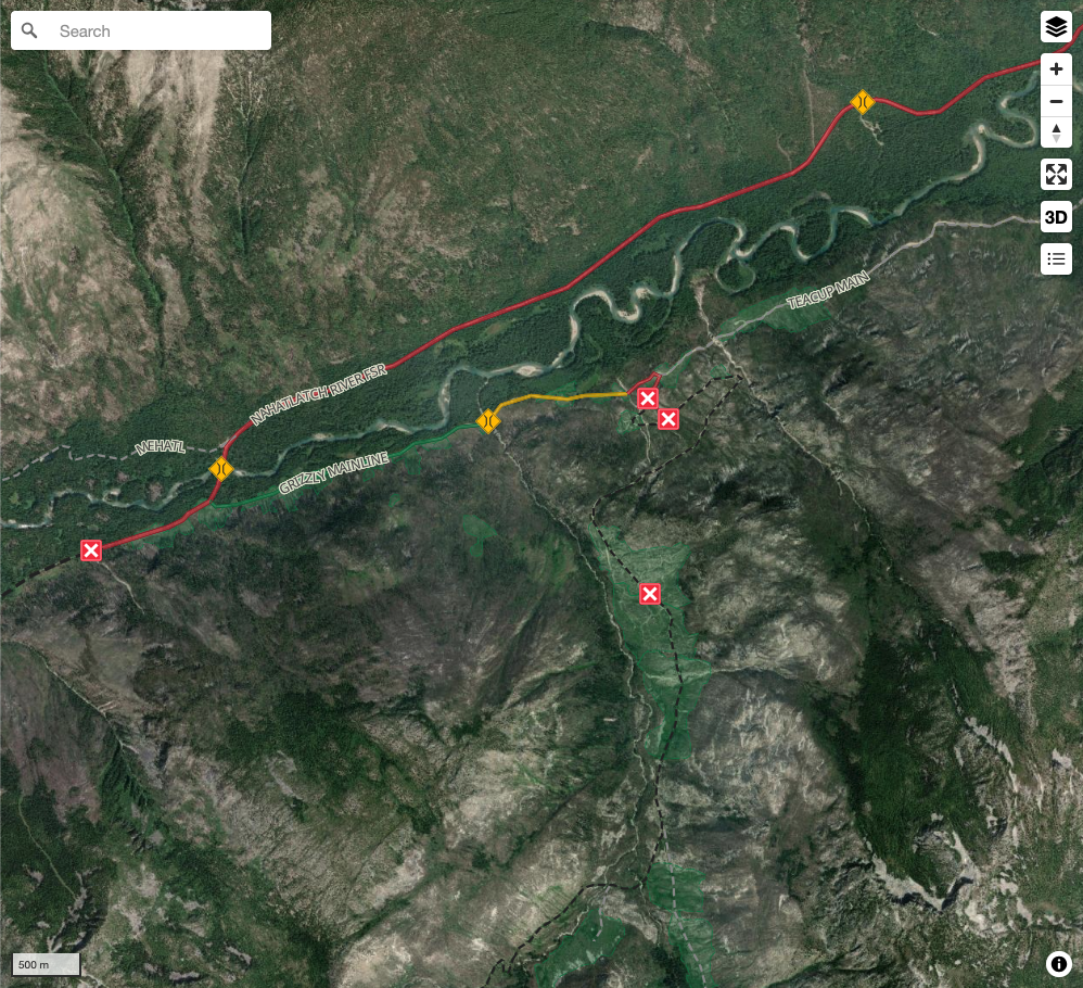
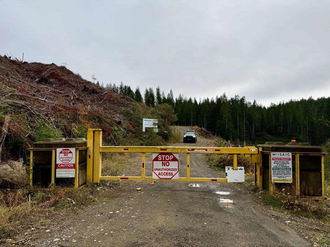
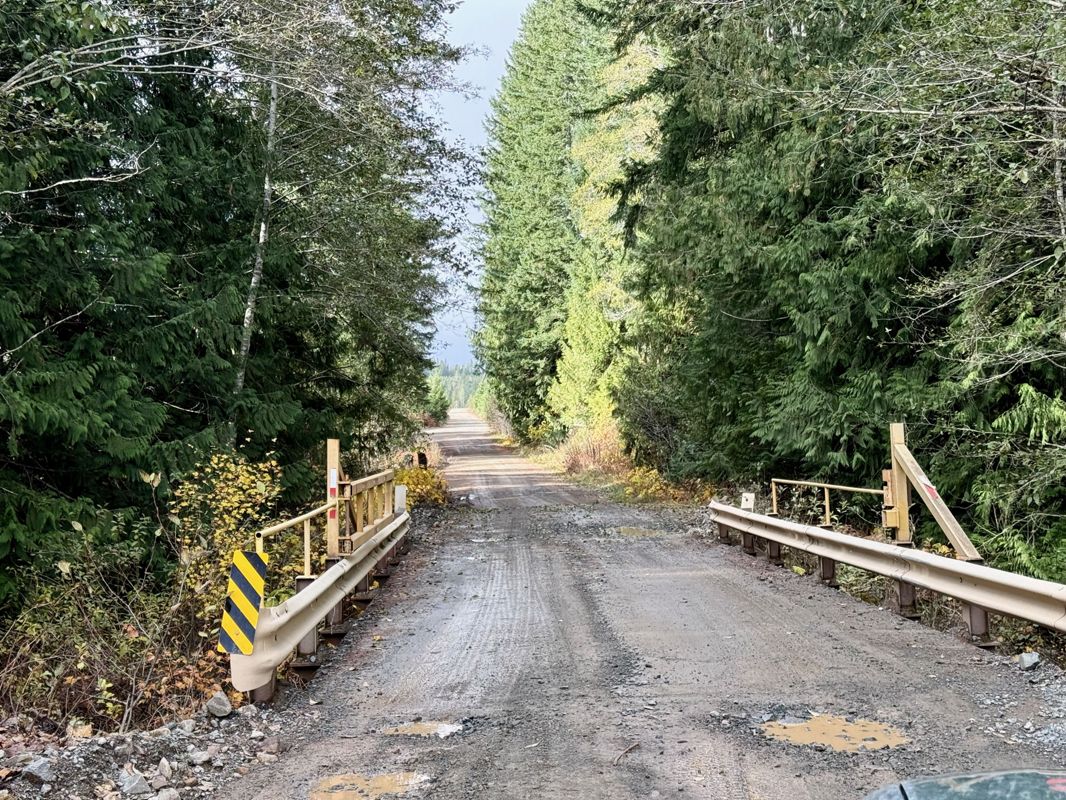
View road conditions broken down kilometer by kilometer and find the latest status on gates, bridges and washouts. Explore user submitted road reports and contribute your own with an easy-to-use road report system!
Explore the over 260,000 roads on the map and keep the community strong by sharing what you find on your adventures.
Toma Main
New has been reported at 49.514, -125.126

Map Layers
Find cut block data, wildlife closure zones, recent satellite imagery and a host of base maps to make your planning a breeze.
Offline Road Data
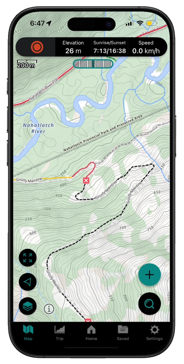
Take service road information offline with your favourite mapping application. The Service Road Atlas supports road downloads and offline use in apps like Gaia, OSMAnd, Caltopo and more.