EAST HOPE CREEK
Cascades Natural Resource District
Distance
6.17 km
Last Road Report
Jun 14, 2026
Closures
No Posted Closures
Location
EAST HOPE CREEK
Permit Holder
District Manager Cascades (dcs)
Waypoints
Distance
6.17 km
Avg. Gradient
0%
Ascent
0m
Descent
0m
Last Road Report
Jun 14, 2026
Closures
No Posted Closures
Location
EAST HOPE CREEK
Permit Holder
District Manager Cascades (dcs)
Waypoints
Conditions
Start to 2.1 km
Good Condition
39d ago
2.1 to 2.8 km
Somewhat Degraded
39d ago
2.8 to 5.1 km
Somewhat Degraded
54d ago
5.1 to 5.1 km
Good Condition
348d ago
5.1 to 6.2 km
Good Condition
352d ago
Description
No description.
Road Bulletins
Road conditions haven't changed since the last report. The roadbed is in good shape, with only a few minor water bars.
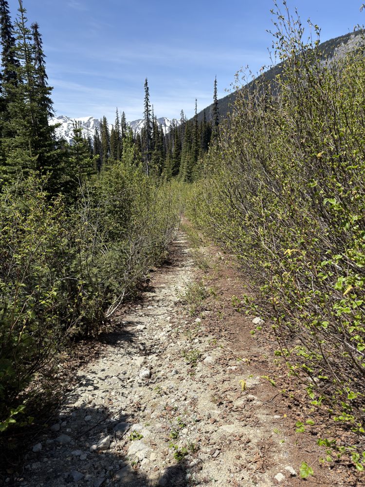
We trimmed most of the narrow, bushy sections up to approximately 2.8 km, where there is room to park 1–2 vehicles. I'm glad we parked there, as the road becomes heavily overgrown with alder beyond this point, leaving a narrow passage.
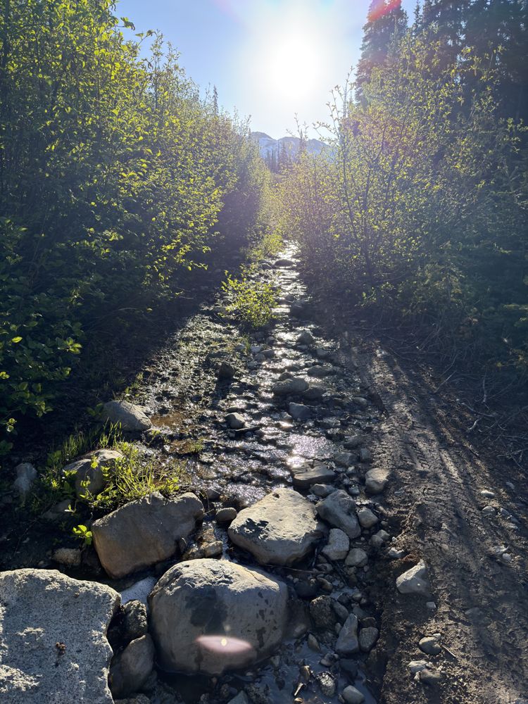
The brush becomes even denser after another kilometer or so. There is also a 200–300 m section where water erosion has narrowed the left side of the road. It remains passable and should not pose a problem for a 4x4 or high-clearance AWD vehicle.
We trimmed most of the narrow, bushy sections up to approximately 2.8 km, where there is room to park 1–2 vehicles. I'm glad we parked there, as the road becomes heavily overgrown with alder beyond this point, leaving a narrow passage.
The brush becomes even denser after another kilometer or so. There is also a 200–300 m section where water erosion has narrowed the left side of the road. It remains passable and should not pose a problem for a 4x4 or high-clearance AWD vehicle.
Good for first 2k. After that small to medium water bars, and not too long after the alder kicks in as well. Meaningful pinstriping to make it to the end. One washed out section probably between 4 and 5k where one tire rut is draining water and there are some small loose boulders and your vehicle needs to articulate a bit. Most thing that clear the water bars should be fine but might make someone with a bad traction control system unhappy
More trimming done, still probably another km of overgrown before road opens up.
Two trucks made it to the TH, with some pinstripinnig applied.
Two trucks made it to the TH, with some pinstripinnig applied.

Road bed is in great shape, better than the Hurley. Alder is encroaching in a few short spots beyond 2.5km mark but has been trimmed back in the worst spots to allow passage - if severe pinstriping is acceptable. Stock 2000's F150 and Ranger both seen at trailhead to Sockeye Horn. If someone went up with a brush saw for the day, road would be very good condition all the way to the end.
Good until flat section at ~ 1430 m, then becomes very bushy/overgrown with occasional small water bars and one eroded section which will test your clearance ~ 500 m before the Canine/Beaujolais trailhead.