Recent Bulletins
S3110
3h
Very thick alder. No bridges. Road centerline flagging to around S3112. KMs listed on map in reverse.
Geoff Doherty - Oct 18, 2026Still a mainline but more potholes than avg since it's near winter and they probably haven't graded in a bit.
Tareef Dedhar - Oct 18, 2026ROCKY POINT
18hGood condition to flats entrance. Gate closes 10 pm to 8 am. Heard you'll have to pay to get out when closed.
Gavin - Oct 19, 2026Excellent condition. Smooth like a highway most of it which cut down travel time except near Rocky Point Rec Site where it's a little bumpy. Only 1 or...
Gavin - Oct 19, 20261-B
1dRoad in reasonably good condition. Subaru made it easily up this road. At 1.46km the road splits up to the block cut (right) or the old mine sampling ...
Philip Schuchardt - Oct 06, 2026
Blockade at entrance. Impassable. Looks like 20 Mile Bay season was 5/1 to 9/30.
Gavin - Oct 18, 2026

Ok condition to 0.5 km. Tight and minor pinstriping from branches. Rough and loose with sharp rocks after. I moved some of the more pointy ones, but t...
Gavin - Oct 18, 2026Road Updates
JLS-100New
Road added in the South Island Natural Resource District region
Jump Lake South MainNew
Road added in the South Island Natural Resource District region
Helen Lake RoadNew
Road added in the South Island Natural Resource District region
J-9New
Road added in the South Island Natural Resource District region
Mckay 2021New
Road added in the South Island Natural Resource District region
Mckay 2020New
Road added in the South Island Natural Resource District region
Whiskey Jack South MainNew
Road added in the South Island Natural Resource District region
Whiskey Jack North MainNew
Road added in the South Island Natural Resource District region
Reinhart South MainNew
Road added in the South Island Natural Resource District region
Reinhart North MainNew
Road added in the South Island Natural Resource District region
ROCKY POINT
New
 has been reported at 49.308, -122.328
ROCKY POINT
New
 has been reported at 49.307, -122.329
SAYRES LAKE
New
has been reported at 49.311, -122.329
FL1300
New
has been reported at 49.339, -122.342
SAYRES NORTH SL200
New
has been reported at 49.328, -122.339
Florence Lake FSR
has been verified at 49.369, -122.326
SL400
New
has been reported at 49.332, -122.340
West Muir MainNew
Road added in the South Island Natural Resource District region
Muir EastNew
Road added in the South Island Natural Resource District region
Bear Creek SouthNew
Road added in the South Island Natural Resource District region
MML19New
Road added in the South Island Natural Resource District region
Free to Use and Community Driven
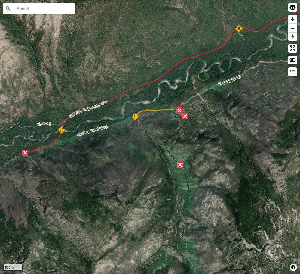
Get up-to-date information about back country roads all over British Columbia, Alberta and the Yukon. Created by the community, for the community.
Detailed Reports
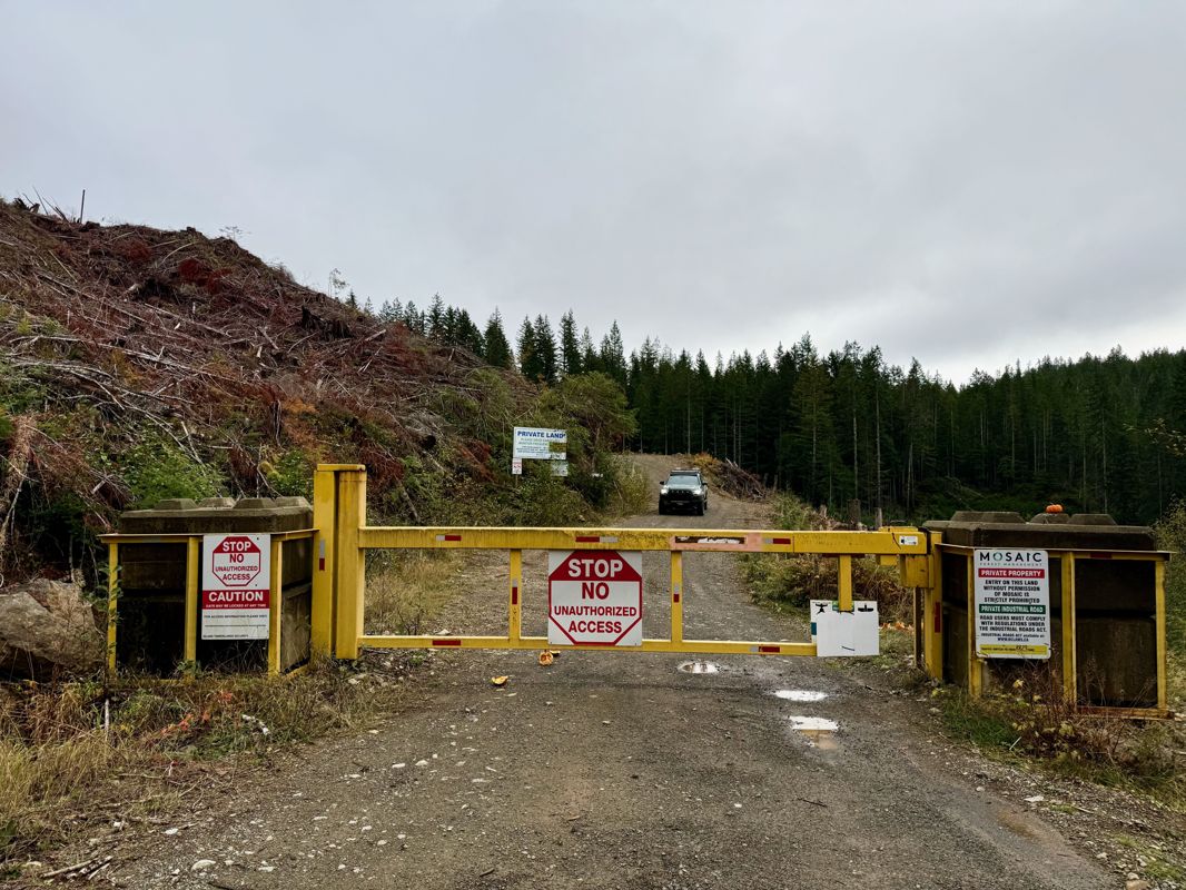
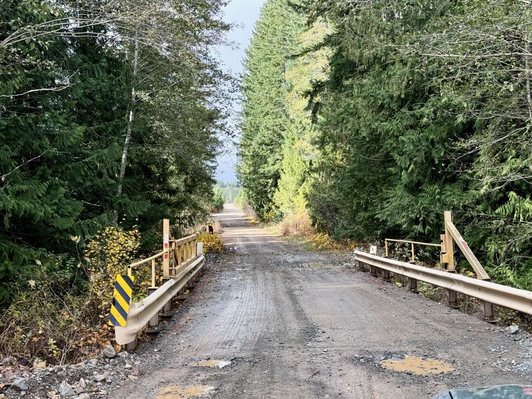
View road conditions broken down kilometer by kilometer and find the latest status on gates, bridges and washouts. Explore user submitted road reports and contribute your own with an easy-to-use road report system!
Explore the over 260,000 roads on the map and keep the community strong by sharing what you find on your adventures.
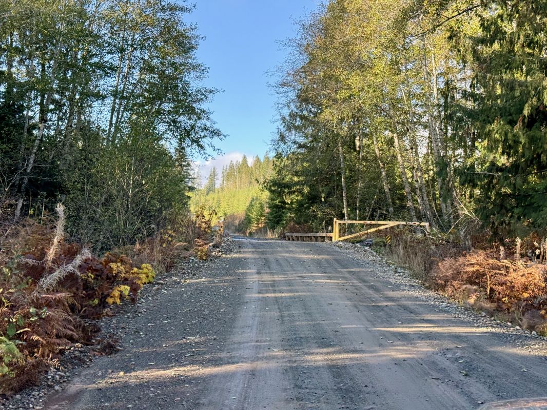
Toma Main
New has been reported at 49.514, -125.126
Map Layers
Find cut block data, wildlife closure zones, recent satellite imagery and a host of base maps to make your planning a breeze.
Offline Road Data
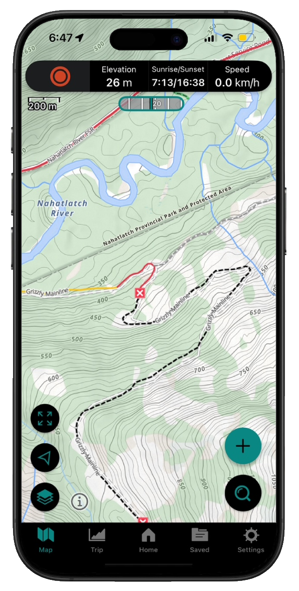
Take service road information offline with your favourite mapping application. The Service Road Atlas supports road downloads and offline use in apps like Gaia, OSMAnd, Caltopo and more.