Recent Bulletins
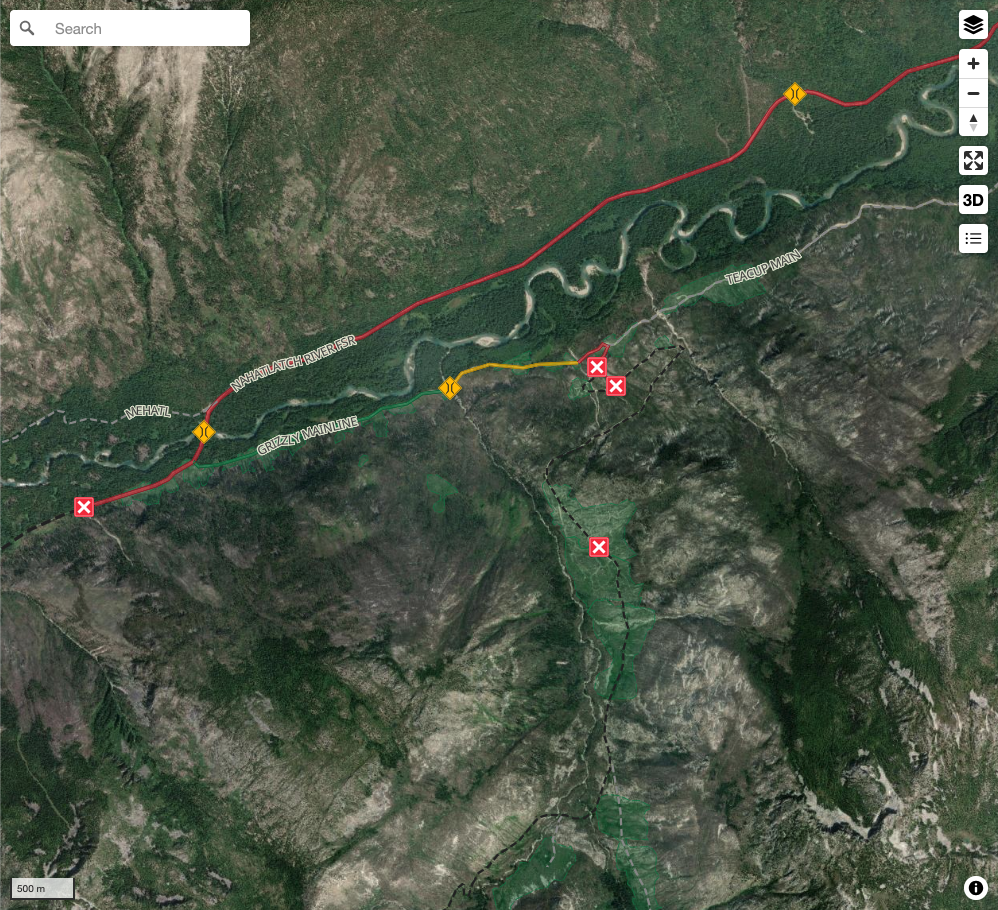
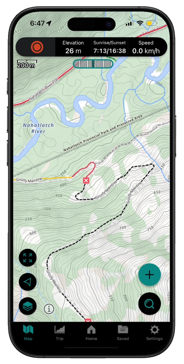
No real change from previous report. The washout has a very rough jeep bypass.
I'm almost certain I could've gotten through this in my lifted FJ but ...
Rough and slippery when wet, some debris on road and deadfall due to wildfire. Bridges seem to be old and not maintained.
Alan Smithee - Jul 23, 2026SUKUNKA
2h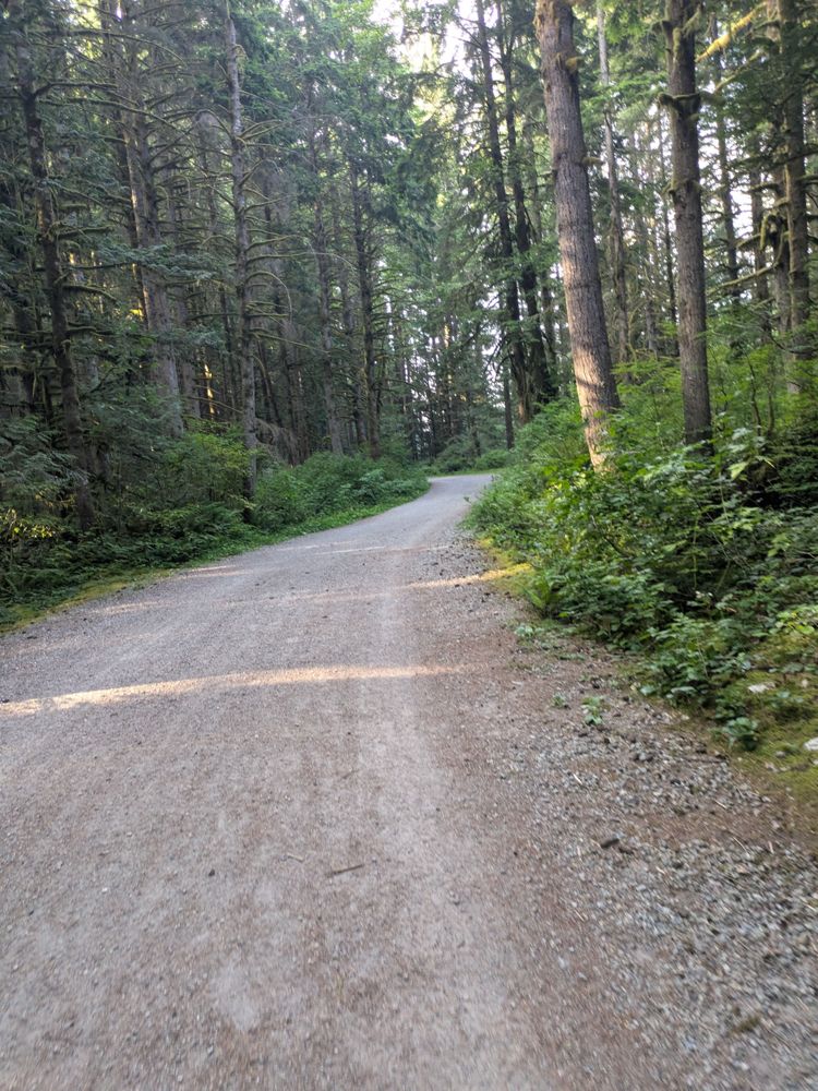
Road is really good, narrow in some parts. Watch for cyclists, runners, and dogs. I went up 1KM but went left to Rice Lake. Probably the same conditi...
Joshua Daniel - Jul 21, 2026R04517 201
19h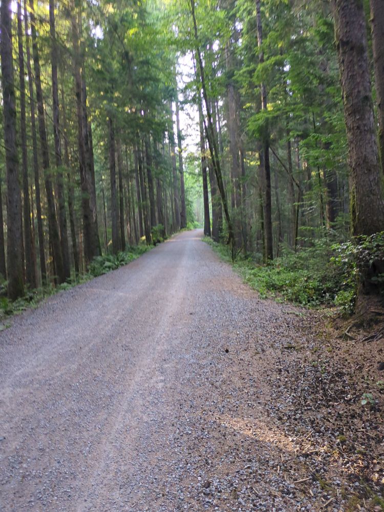
Really nice, no cars allowed (besides park rangers and provincal workers)
Perfect for walking or biking, looks like it's maintained monthly.
Little Elk FSR
22h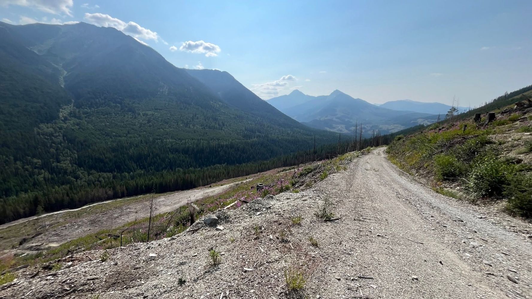
We were on bikes, but the condition of this road was good throughout (not amazing like the main FSRs). Solid base and very smooth. Only gave a "somewh...
Adam Ess - Jul 18, 2026We biked through Little Elk Pass from Palliser-Albert rec (entered Cochran via obscured "Branch A", just beyond the first bridge in Cochran), and a la...
Adam Ess - Jul 18, 2026Elaho Main
23hAll post below hold their truth. That second washout is not the worst and a high clearance AWD could make it. made it all the way to here for a camp i...
Hunter Fleming - Jul 23, 2026Road is in good condition surface is dirt and gravel. Easy for any vehicle to get to the lake. There are some pot holes if you are going around the la...
Steve Parkinson - Jul 10, 2026
any 4x4 with decent clearance/travel will make it. went down fine in a 2001 crv with at tires. had to get towed/pulled in a section that was very unev...
zayd bates - Jul 22, 2026BELCHROME
2dRoad condition is good. Surface is dirt and gravel with some minor ruts. Turned off at Jolly Beach campground. Don’t bother. It is badly run down with...
Steve Parkinson - Jul 21, 2026
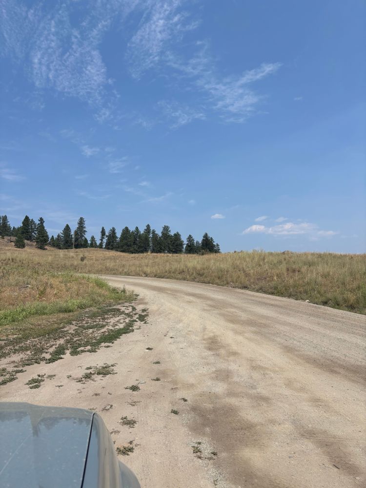
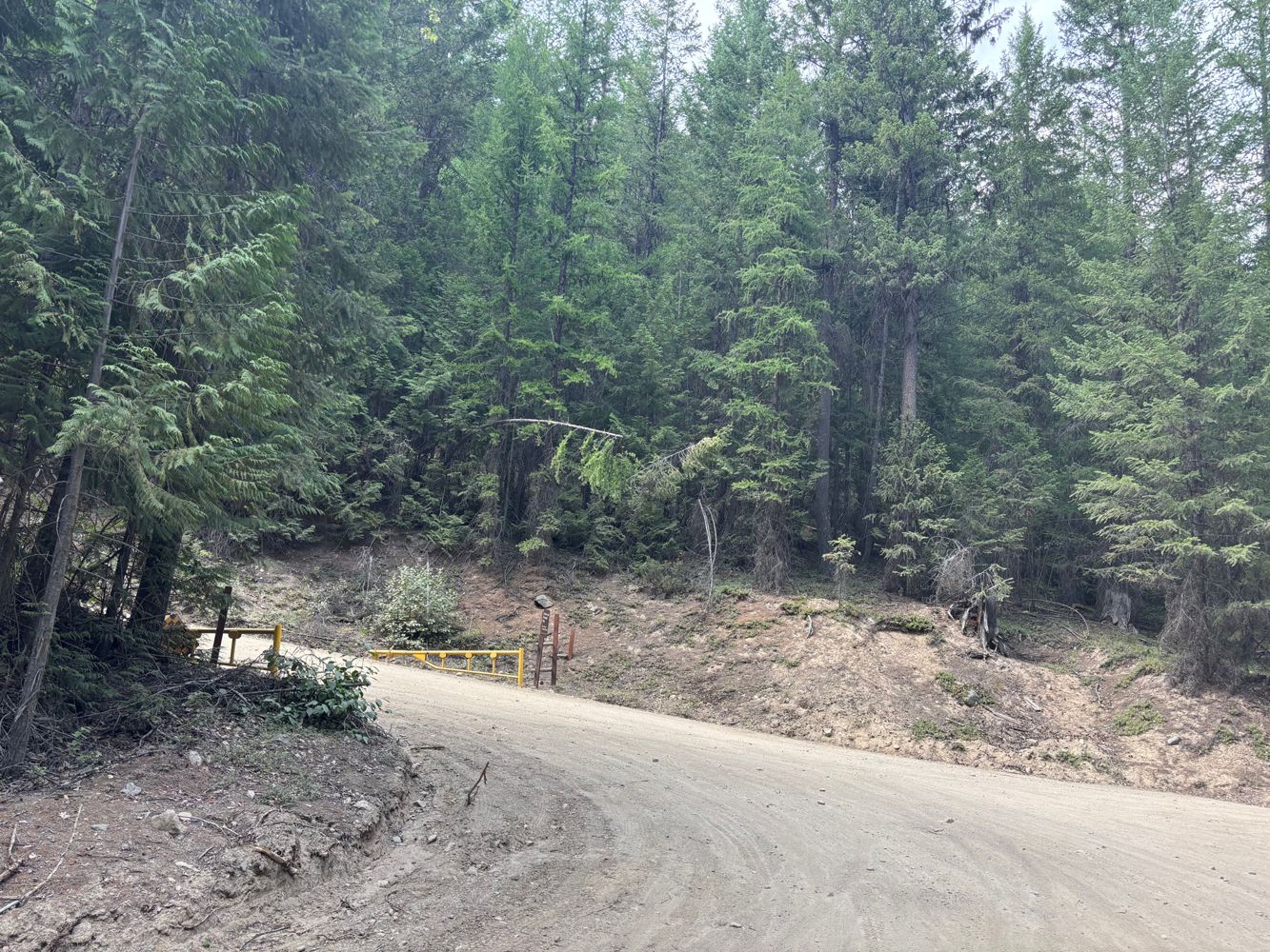
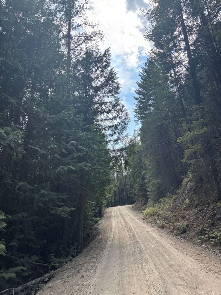
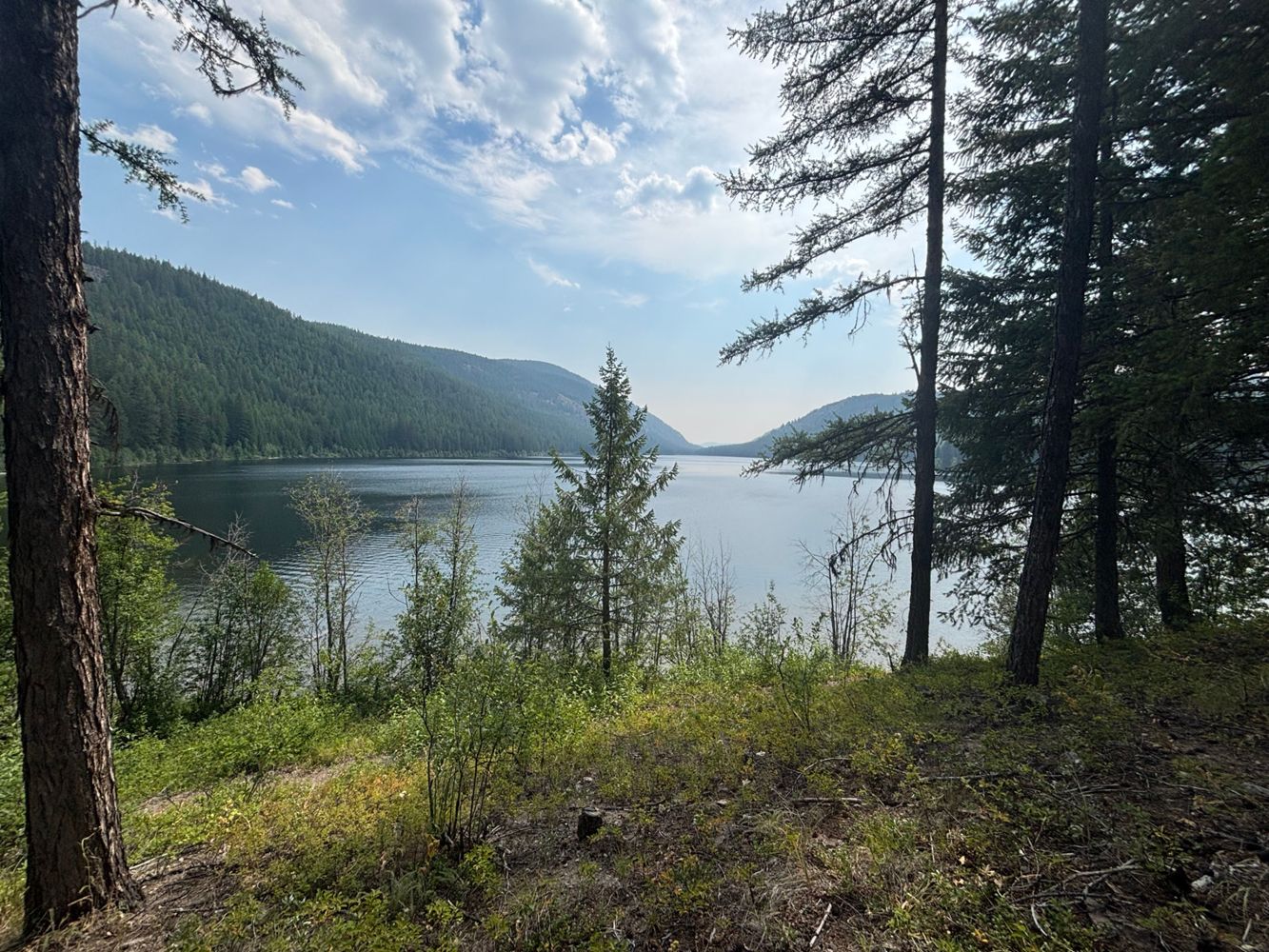
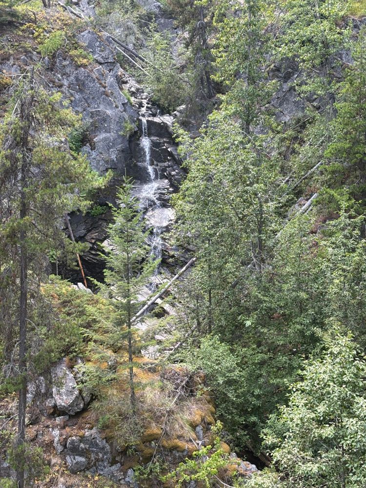
The road is very good condition with a well graded gravel surface all the way to the Provincial Campsite at Conkle Lake. In the past The last climb wa...
Steve Parkinson - Jul 21, 2026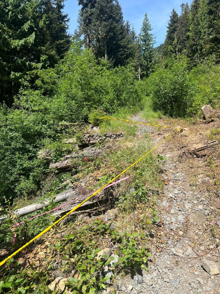
The bridge has collapsed, but there is a dirt bike bypass. The rest of the road has grown in significantly, only passable by single-track travel
Thomas Timmerman - Jul 21, 2026Road Updates
Skwellepil Creek Upper FSR
Road conditions have been updated to:
Skwellepil Creek Upper FSR
 has been verified at 49.477, -122.069
Seymour River FSR
Road conditions have been updated to:
R04517 201
New  has been reported at 49.348, -123.01
R04517 201
has been verified at 49.351, -123.012
R04517 201
has been verified at 49.348, -123.01
R04517 201
New has been reported at 49.348, -123.01
Elaho Main
Road conditions have been updated to:
Raft River FSR
Road conditions have been updated to:
Nanaimo Lakes Main
 has been verified at 49.099, -124.132
Free to Use and Community Driven
Get up-to-date information about back country roads all over British Columbia, Alberta and the Yukon. Created by the community, for the community.
Detailed Reports
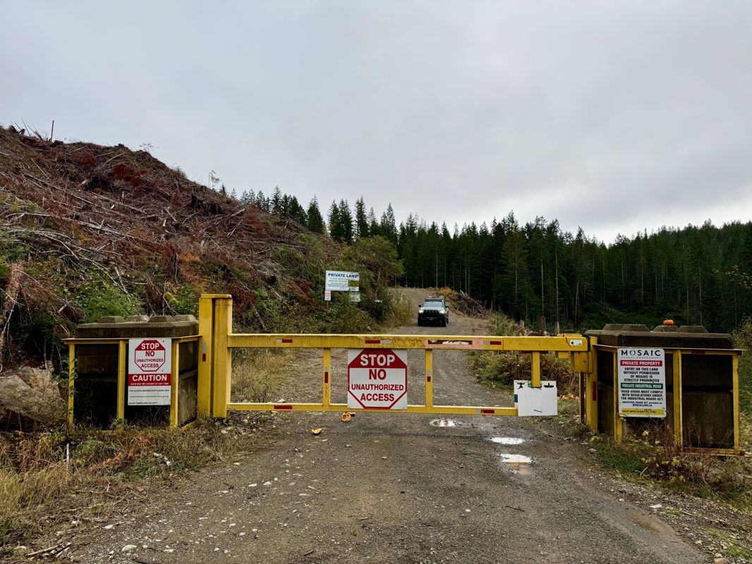
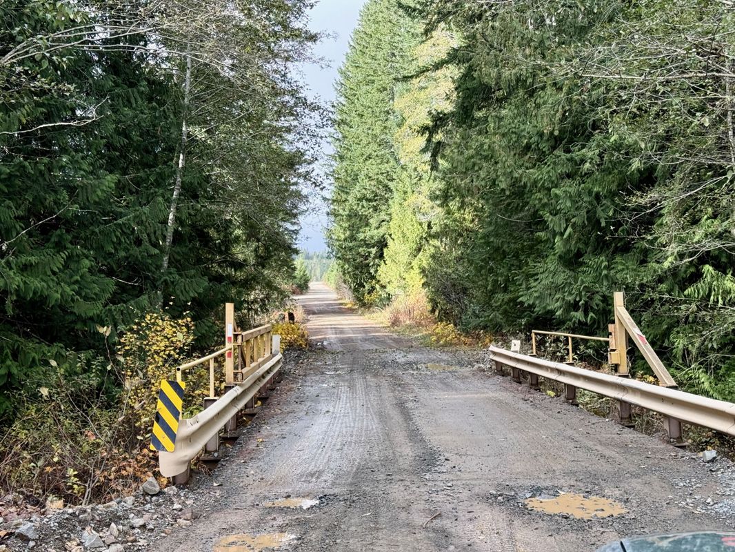
View road conditions broken down kilometer by kilometer and find the latest status on gates, bridges and washouts. Explore user submitted road reports and contribute your own with an easy-to-use road report system!
Explore the over 260,000 roads on the map and keep the community strong by sharing what you find on your adventures.
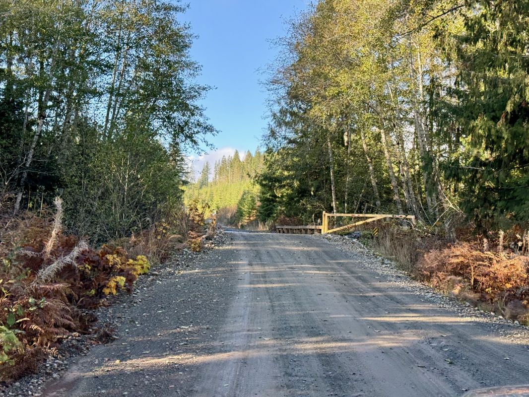
Toma Main
New has been reported at 49.514, -125.126

Map Layers
Find cut block data, wildlife closure zones, recent satellite imagery and a host of base maps to make your planning a breeze.
Offline Road Data
Take service road information offline with your favourite mapping application. The Service Road Atlas supports road downloads and offline use in apps like Gaia, OSMAnd, Caltopo and more.