Recent Bulletins
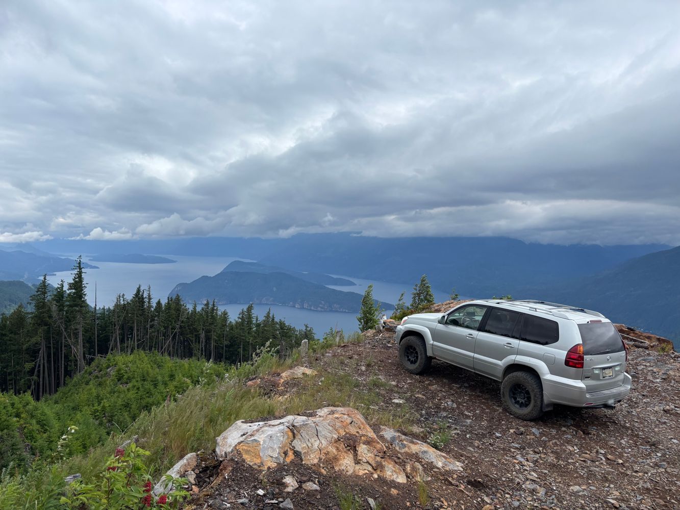
Made it all the way to 15km with a low clearance SUV (~7.0 inch clearance). 11.5km to 12km is very loose and rocky, it would be helpful to use a spott...
William Shi - Jun 28, 2026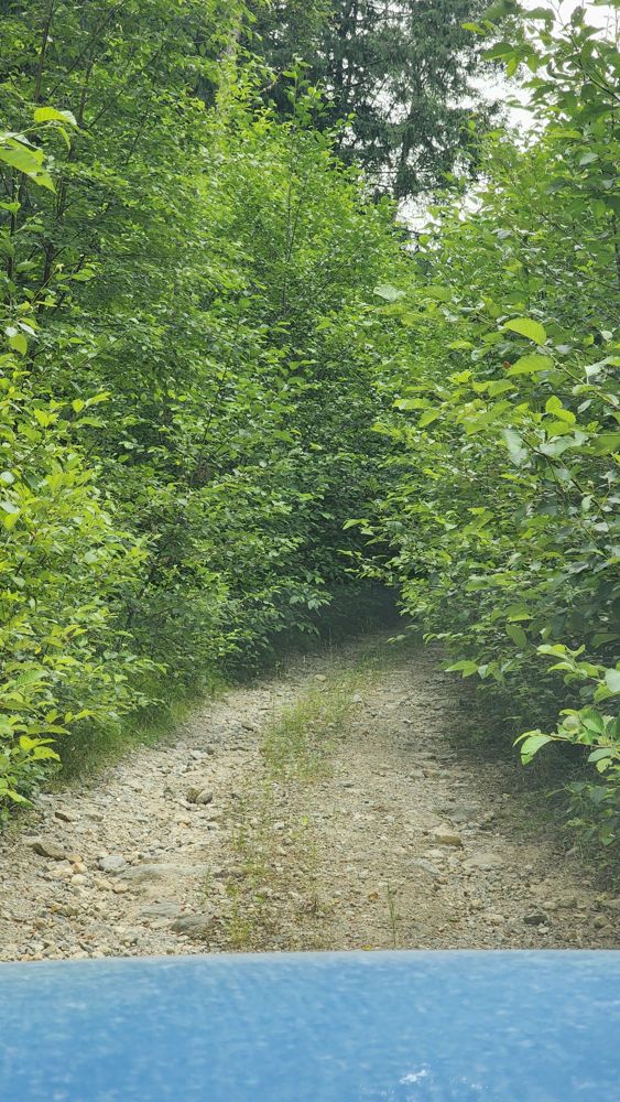
BIG SILVER
9h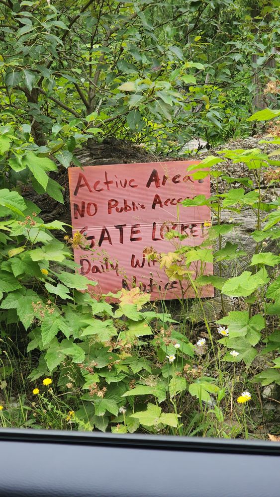
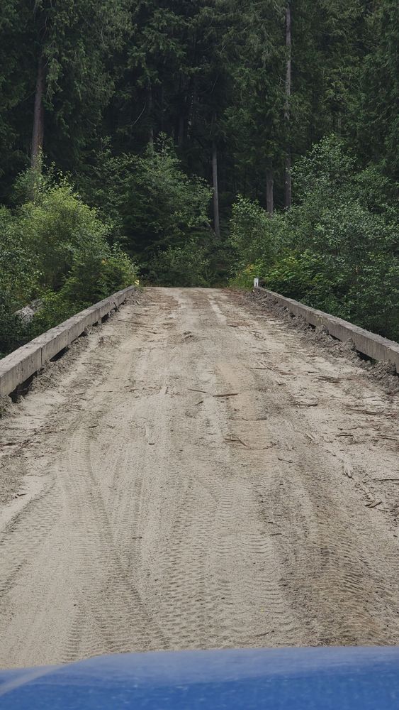
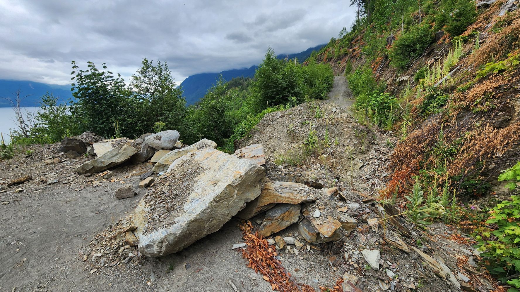
Decent condition pretty much whole way. Gate before bridge open. Sign says "Active area. Gate locked daily without notice." Bridge at start has deck b...
Gavin - Jun 28, 2026WD2760
9h
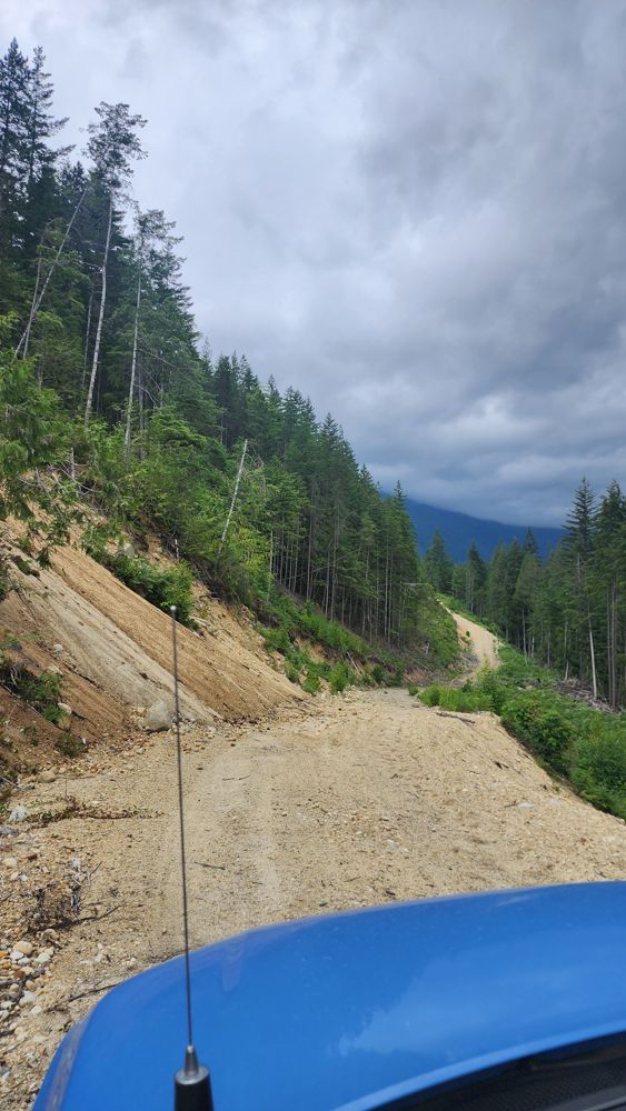
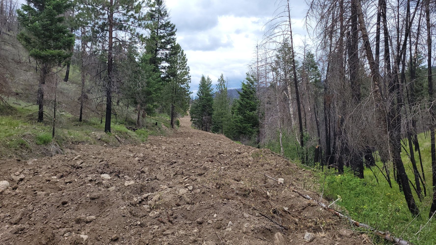
Start of the trail is steep, but not difficult. Only a short distance you come across a steep rocky section needing HC4x4. After that there are some w...
Steve Parkinson - Jun 28, 2026BRMW110C
9hRoad is fairly steep with loose rocks and gravel surface. There are lots of water bars and one area with minor washout but easily passable.
Steve Parkinson - Jun 28, 2026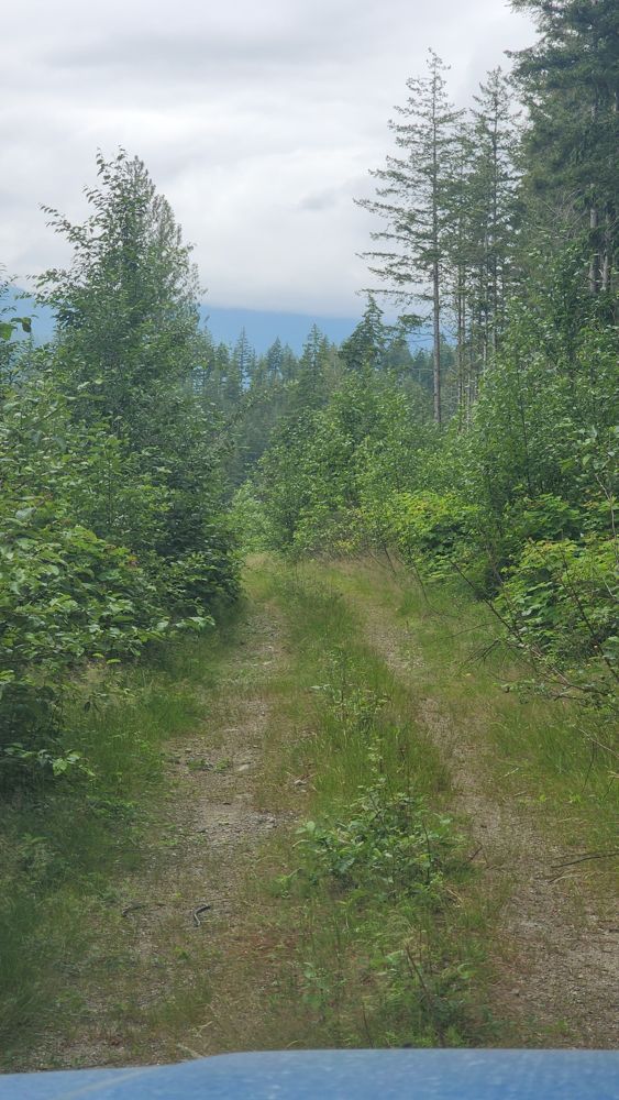
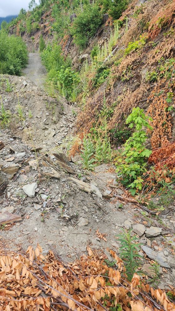
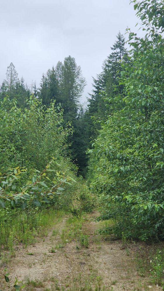
Looks like it hasn't been used in a while. Lots of grass. Wasn't sure if it was worth it, so didn't proceed.
Gavin - Jun 28, 2026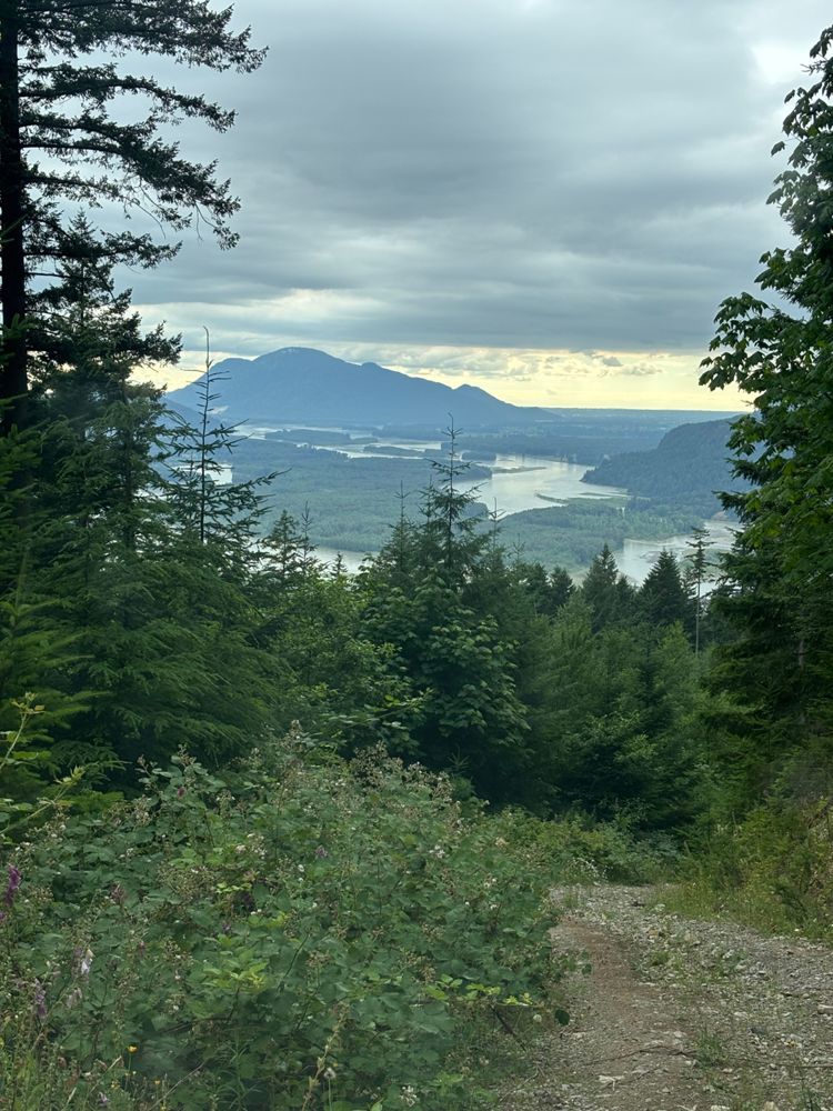
Road was in good condition with many water bars, but nature is slowly taking it back. Nothing major yet, just grass in the middle and some trees encro...
Steve Parkinson - Jun 28, 2026BRWD1100
9hSimilar conditions to Woodside1700. Lots of water bars, but otherwise good condition. More nice views.
Steve Parkinson - Jun 28, 2026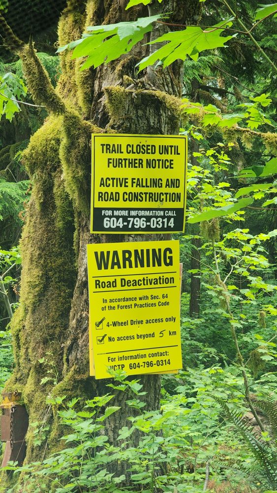
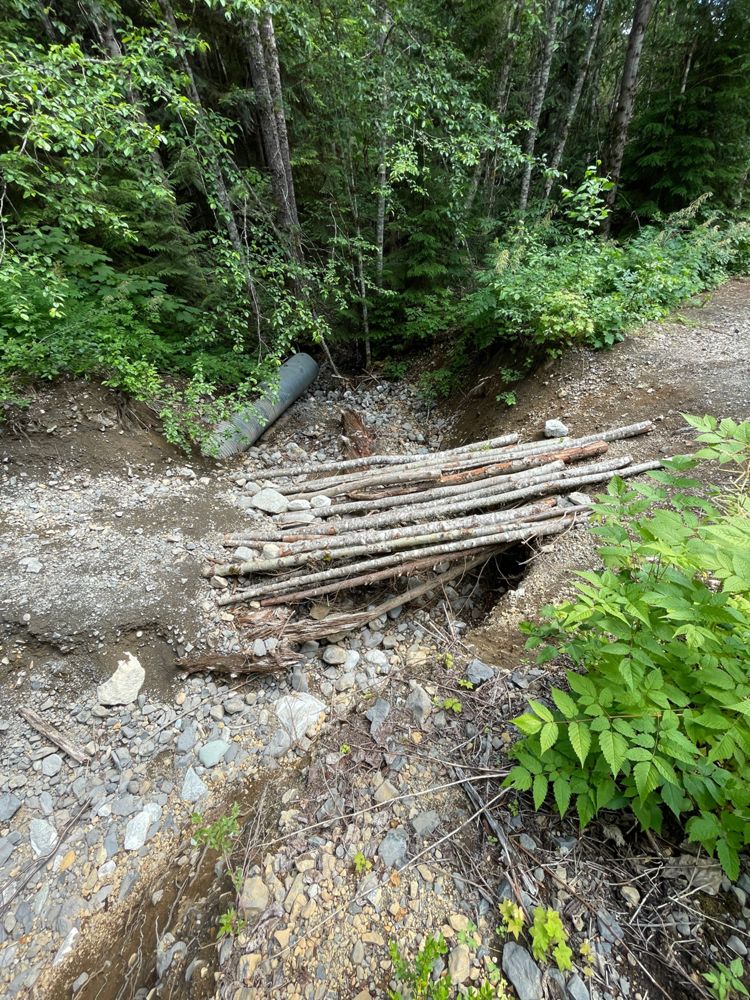
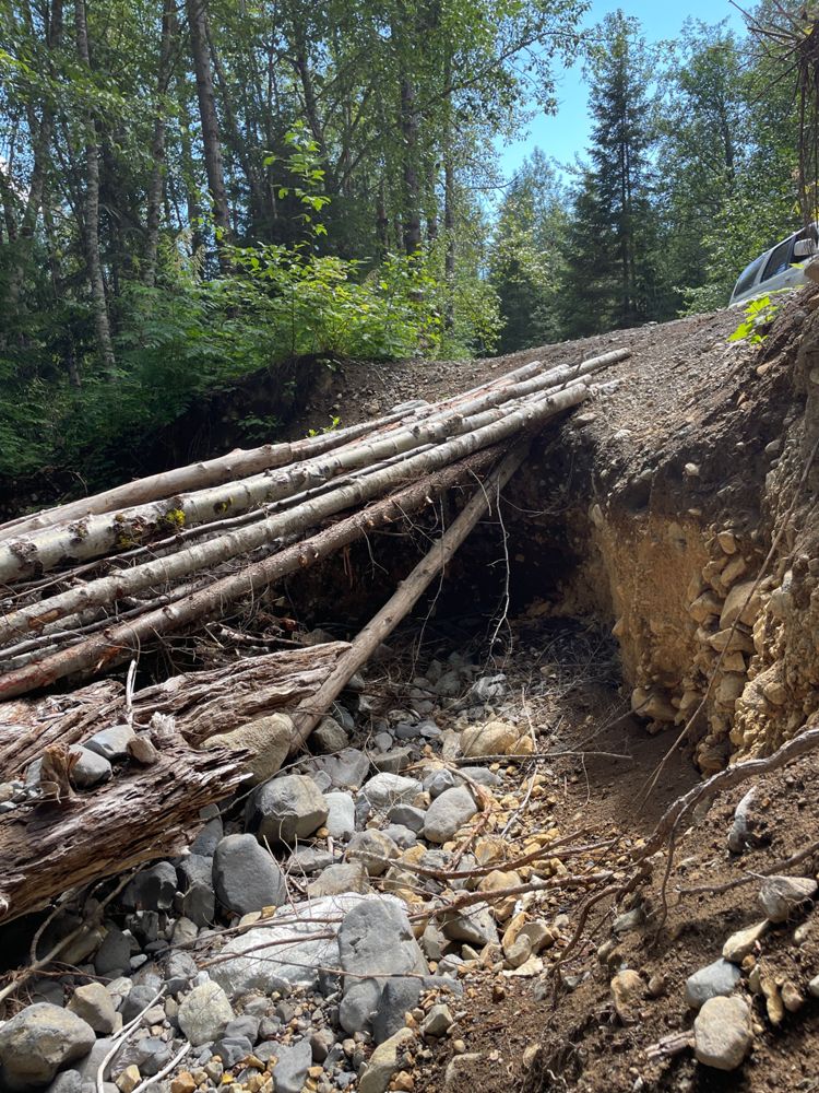
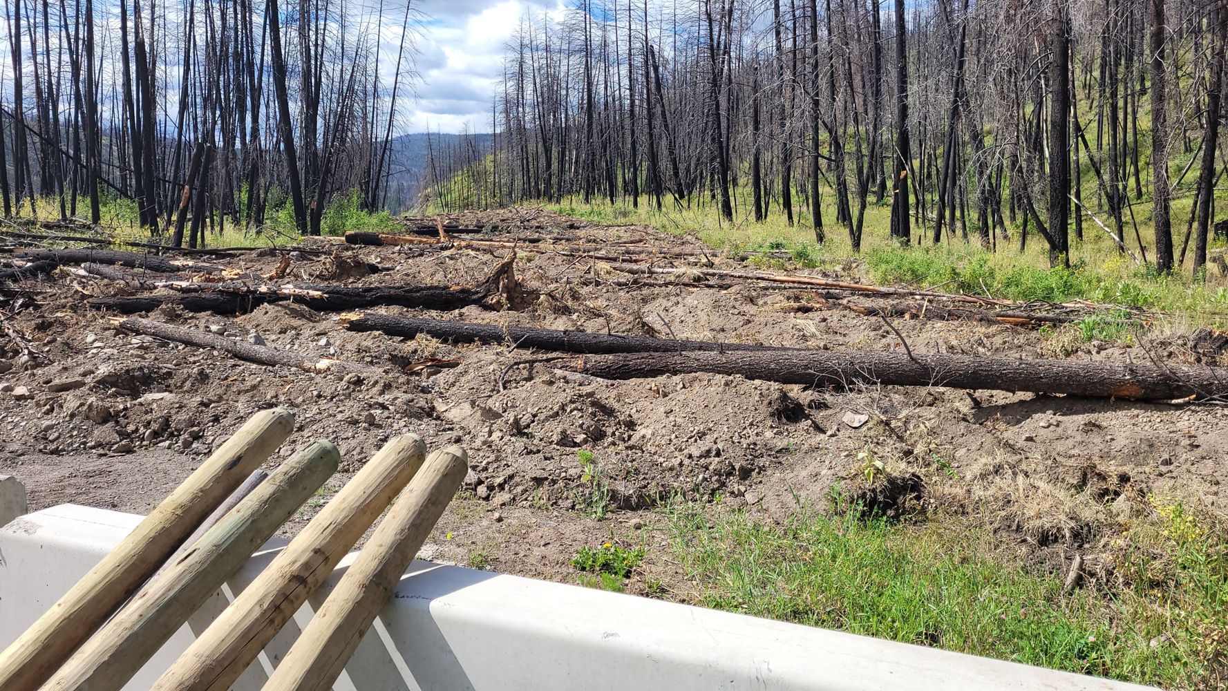
The washout is still there, and more logs were added for a more stable footbridge but definitely not safe to drive over. The damage is quite extensiv...
Mark WN - Jun 27, 2026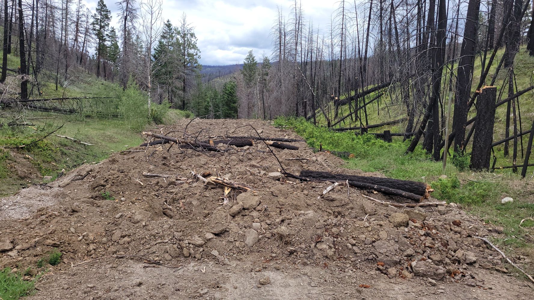
CRISS CREEK
12h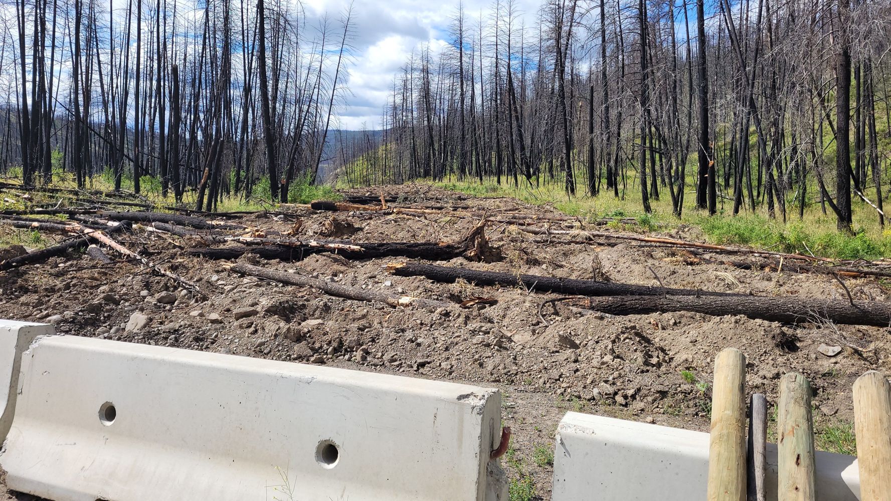
Road Updates
Miller Bench FSR
Road conditions have been updated to:
HN1000
New ![]() has been reported at 49.616, -121.882
has been reported at 49.616, -121.882
BIG SILVER
New ![]() has been reported at 49.608, -121.825
has been reported at 49.608, -121.825
BIG SILVER
New ![]() has been reported at 49.608, -121.824
has been reported at 49.608, -121.824
BIG SILVER
![]() has been changed to
has been changed to ![]() at 49.601, -121.832
at 49.601, -121.832
WD2760
Road conditions have been updated to:
BRMW110C
New ![]() has been reported at 49.239, -121.877
has been reported at 49.239, -121.877
BRWD1100
Road conditions have been updated to:
HORNET
Road conditions have been updated to:
Squamish River Branch 250
Road conditions have been updated to:
Squamish River Branch 200
![]() has been verified at 49.956, -123.292
has been verified at 49.956, -123.292
GREYBACK
Road conditions have been updated to:
CRISS CREEK
New ![]() has been reported at 50.938, -120.889
has been reported at 50.938, -120.889
K Branch
New ![]() has been reported at 49.037, -124.373
has been reported at 49.037, -124.373
K26
Road conditions have been updated to:
PYE100
New ![]() has been reported at 49.195, -122.078
has been reported at 49.195, -122.078
Free to Use and Community Driven
Get up-to-date information about back country roads all over British Columbia, Alberta and the Yukon. Created by the community, for the community.
Detailed Reports
View road conditions broken down kilometer by kilometer and find the latest status on gates, bridges and washouts. Explore user submitted road reports and contribute your own with an easy-to-use road report system!
Explore the over 260,000 roads on the map and keep the community strong by sharing what you find on your adventures.


Toma Main
New ![]() has been reported at 49.514, -125.126
has been reported at 49.514, -125.126

Map Layers
Find cut block data, wildlife closure zones, recent satellite imagery and a host of base maps to make your planning a breeze.
Offline Road Data
Take service road information offline with your favourite mapping application. The Service Road Atlas supports road downloads and offline use in apps like Gaia, OSMAnd, Caltopo and more.


