Recent Bulletins
Great 2wd condition to the top. Road is heavily used for mountain bike shuttle access, as well as the hike up to McKirdy. Road plotting needs to be ch...
Greg Jones - Aug 03, 2026Any car can make it to 2-3km from the trailhead, after that it's very slow and degraded except for the last 700m
Paul Ramu - Aug 03, 2026Good condition, any car can make it. One slightly degraded short 10m section around km10 but with care anyone can do it with any car.
Paul Ramu - Aug 03, 2026TUPPER CREEK
2hRoad mainly build out of clay with poor drainage.
Passable with 4wd vehicles only in dry conditions. Wet conditions are only passable with ATV.
NO-20J1
18hSteep, loose, rocky to impasse. SxS and smaller can bypasse it, and get pretty much all the way if motivated enough. Few spots after impasse where roc...
Tareef Dedhar - Aug 03, 2026NO-20
18hRough with large rocks and decently deep ruts for the first approx 0.5k. Vehicles without a low range will find it challenging, as the speed needed to...
Tareef Dedhar - Aug 03, 2026ZEBALLOS F.S.R.
18hSmooth mainline, easily can hit 80 even in straight sections (tho note the posted limit exists and is 60)
Tareef Dedhar - Aug 03, 2026

As mentioned by previous poster, road is passable right up to the new cut block at about 5-6km up Kate Creek. Road becomes very rough around km 3 and ...
James Barb - Jul 28, 2026

As mentioned by previous poster, road is passable right up to the new cut block at about 5-6km up Kate Creek. Road becomes very rough around km 3 and ...
James Barb - Jul 28, 2026
SECTION 1
1dRecently brushed and good condition for mountain bikes/ATVs/dirtbikes. Left this road to cross over Huckleberry Pass and down to Wildhorse Ck. / Ymir ...
Seth Oldham - Jul 01, 2026CLEARWATER
1dRoad surface in good condition, and someone has brushed the upper section (from ~km7 onwards) recently so it's passable for mountain bikes, dirtbikes,...
Seth Oldham - Jul 01, 2026
Road surface in good condition for a rigid mountain bike but the bridges are marked as closed and unsafe for motorized vehicles, IMO. The uppermost br...
Seth Oldham - Jul 10, 2026Good condition (for a mountain bike, at least) up to the ATV trail junction
Seth Oldham - Jul 11, 2026Road Updates
LITTLE SLOCAN-HODER
Road conditions have been updated to:
NO-20J1
Road conditions have been updated to:
NO-20J1
New  has been reported at 50.016, -126.711
NO-20
Road conditions have been updated to:
155-286
New  has been reported at 49.231, -124.533
Sherk LakeNew
Road added in the South Island Natural Resource District region
Franklin Main
Road conditions have been updated to:
LUKWA MAIN7215
Road conditions have been updated to:
LUKWA MAIN7214
Road conditions have been updated to:
LUKWA MAIN7210
Road conditions have been updated to:
Free to Use and Community Driven
Get up-to-date information about back country roads all over British Columbia, Alberta and the Yukon. Created by the community, for the community.
Detailed Reports
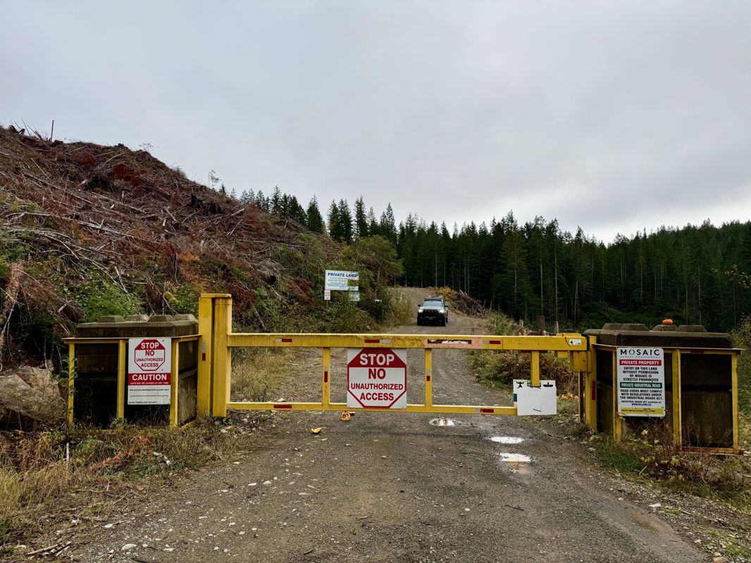
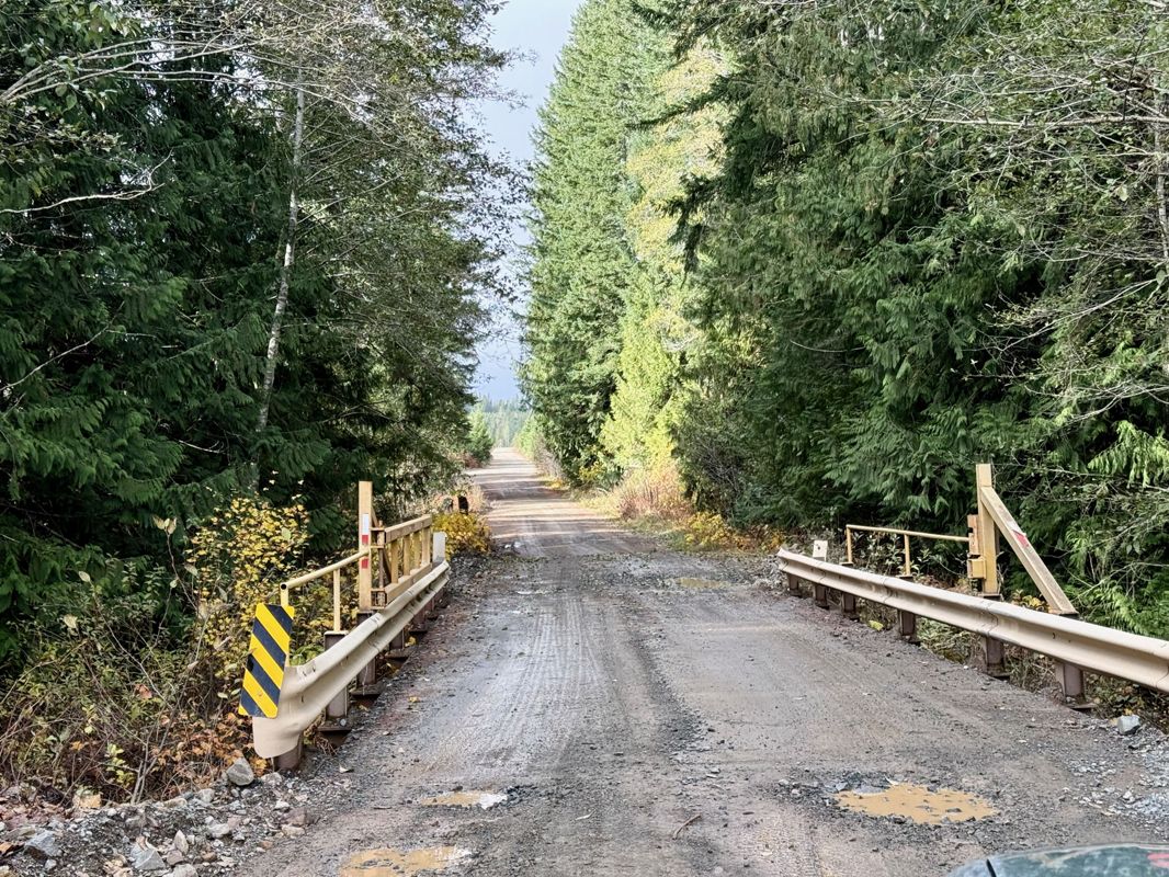
View road conditions broken down kilometer by kilometer and find the latest status on gates, bridges and washouts. Explore user submitted road reports and contribute your own with an easy-to-use road report system!
Explore the over 260,000 roads on the map and keep the community strong by sharing what you find on your adventures.
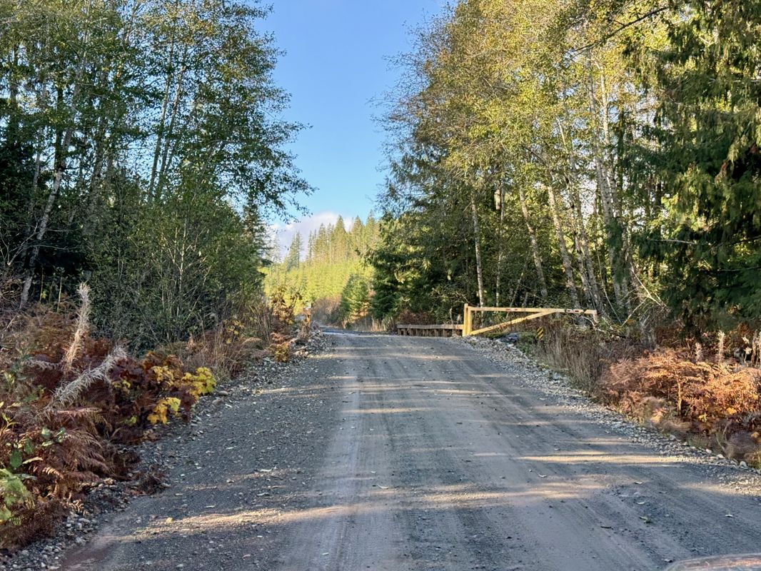
Toma Main
New has been reported at 49.514, -125.126

Map Layers
Find cut block data, wildlife closure zones, recent satellite imagery and a host of base maps to make your planning a breeze.
Offline Road Data
Take service road information offline with your favourite mapping application. The Service Road Atlas supports road downloads and offline use in apps like Gaia, OSMAnd, Caltopo and more.