Recent Bulletins
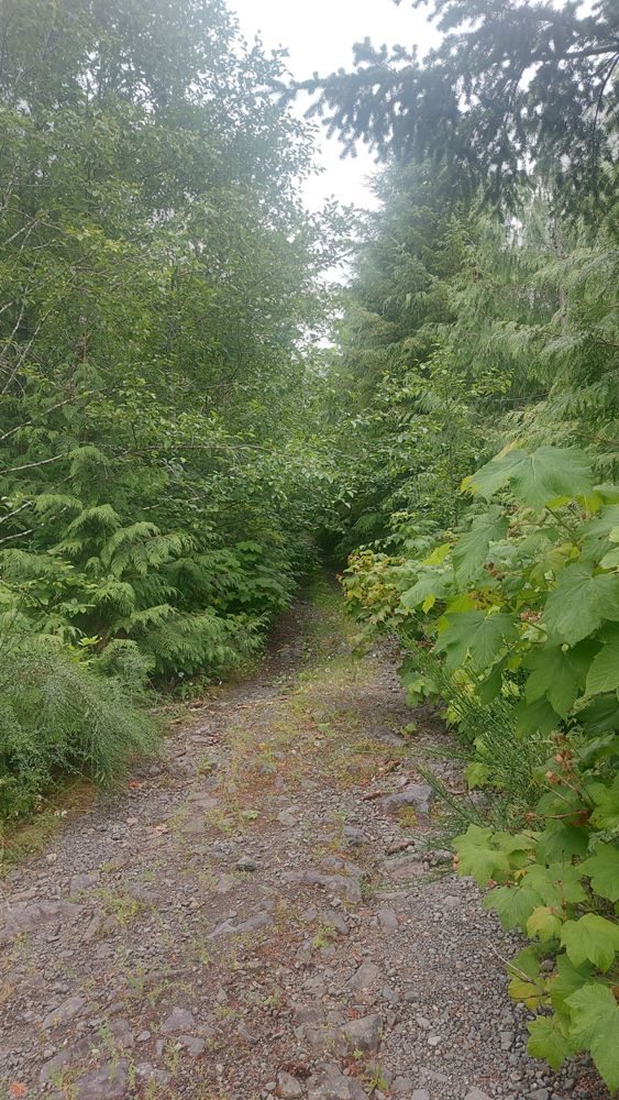
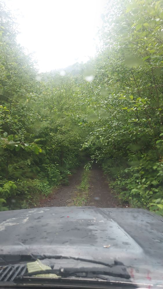
Drove along East Tahsis Main for 3.8km. Road surface generally in good condition, no waterbars. Very driveable, however road is overgrown with bushes ...
Joe John - Jul 11, 2026We biked through Little Elk Pass from Palliser-Albert rec (entered Cochran via obscured "Branch A", just beyond the first bridge in Cochran), and a la...
Adam Ess - Jul 18, 2026SILVER SANDS
4hCross ditched but drivable with 4x4 to power line. ATV only after powerline as road is deactivated and being used as access to snowmobile area.
Alan Smithee - Jul 15, 2026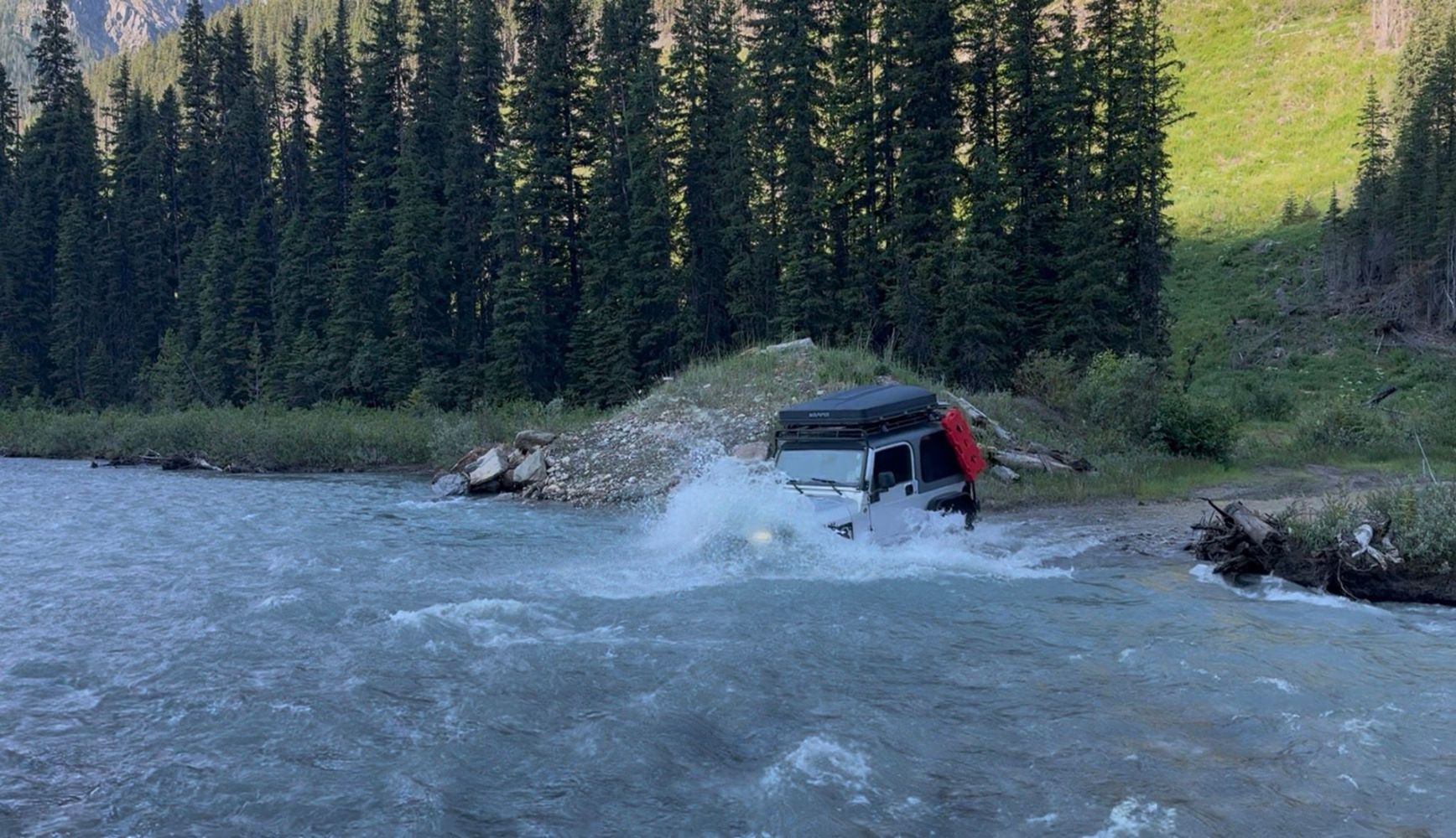
Road passes through a creek that has become quite deep, about 3.5-4.5ft deep. Snorkel recommended. Pic is of deepest part on the return
TJ Jeep - Jul 12, 2026Worse than Sts'ailes West FSR running parallel. Took this road on way back to Chilliwack. Sts'ailes West FSR was bumpy, but you can still go at a dece...
Gavin - Jul 26, 2026Looks like it's possibly for powerline access. Good condition. There was a tree down that was cut, but sticking out a bit.
Gavin - Jul 26, 2026Good condition to about halfway to the dam. Several water bars or drainage ditches with medium sized rocks for the creeks that will require medium cle...
Gavin - Jul 26, 2026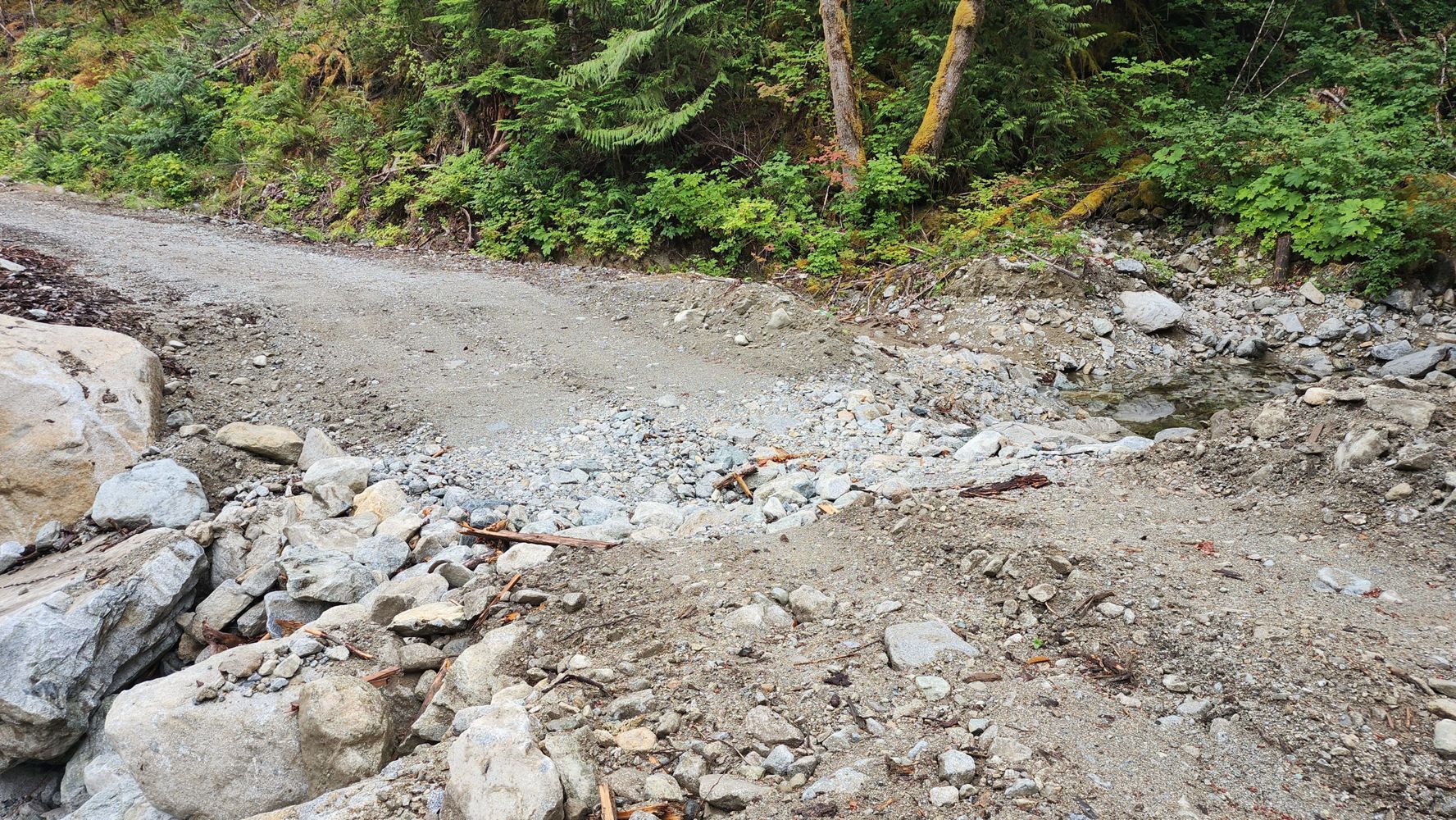
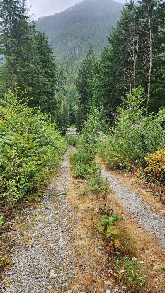
20 Mile Bay FSR
15hGreat condition to 1 km gate. Sign after gate says "Private road. No trespassing. Violators will be prosecuted." I was told it was good condition to t...
Gavin - Jul 26, 2026A-600 Branch
18h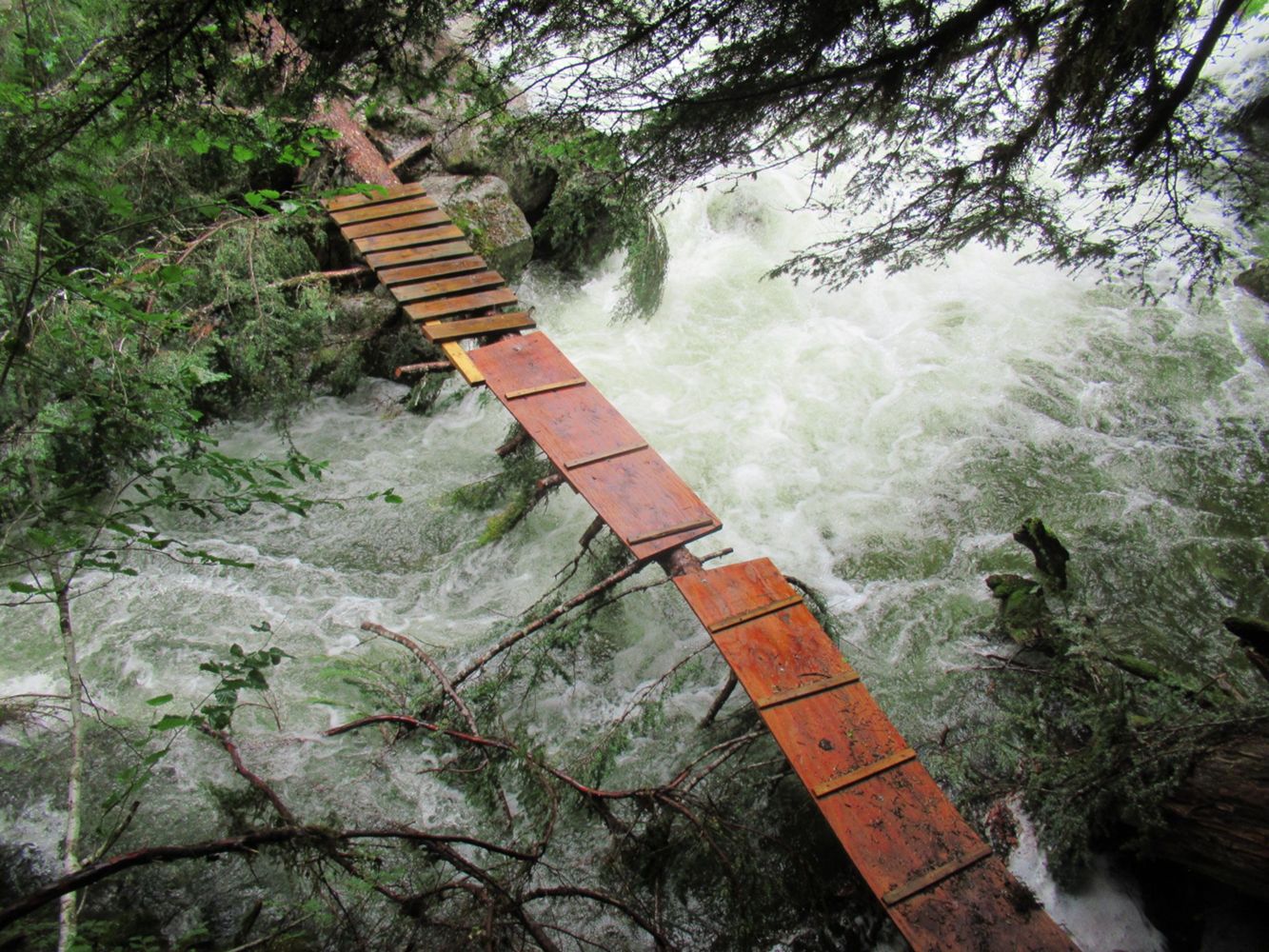
you have to park your car a little bit past the hydro station, the mine is still accessible past that if you hike, the trail is in fine condition but ...
Kit Fleming - Jul 26, 2026Road closed at ~ 6.3 km (immediately after Silver Skagit West Fork Spur) due to wildfire.
A security guard was present to enforce the closure.
Previous description is accurate. I updated the status of the washout at 2.5 km to "Heavily Degraded".
Kelly Wilson - Jul 25, 2026BOWLE-EVANS
1dGood condition, not comparable to other roads that reach the somewhat degraded description. Would be passable in 2wd without high clearance if taking ...
Jordan Bell - Jul 25, 2026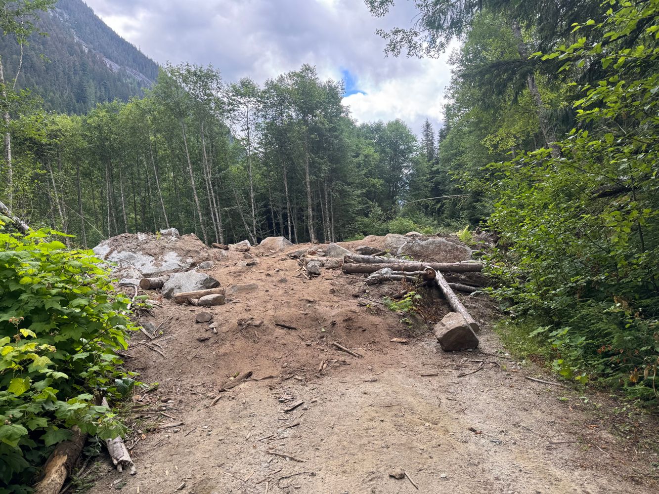
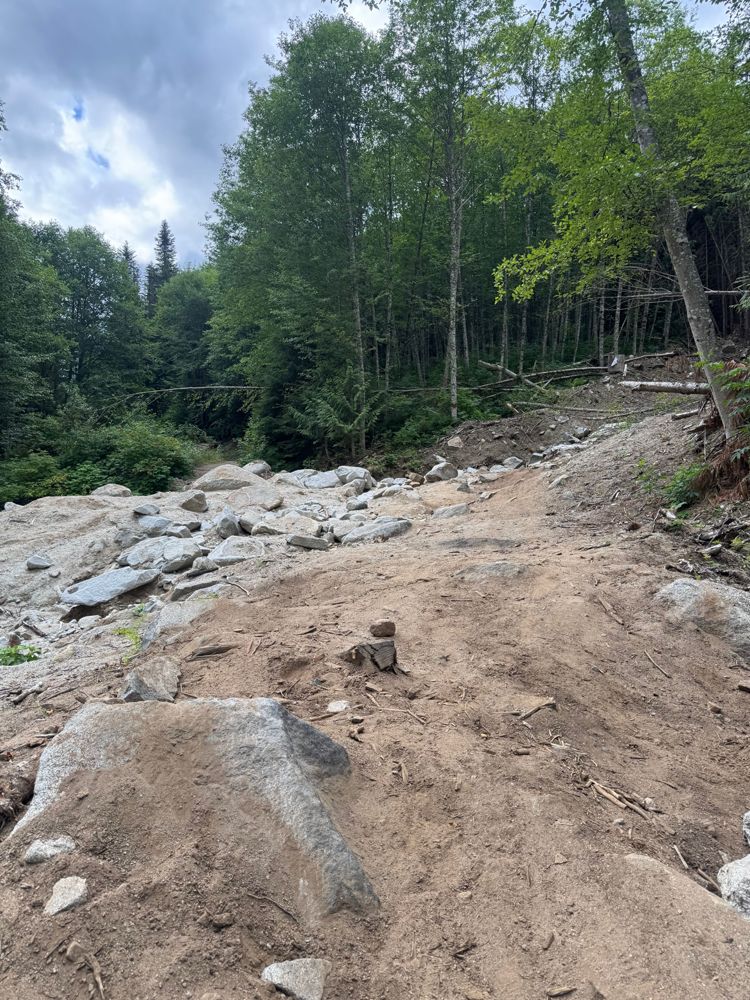
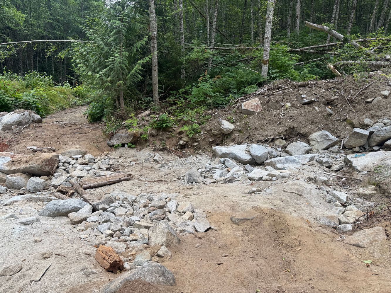
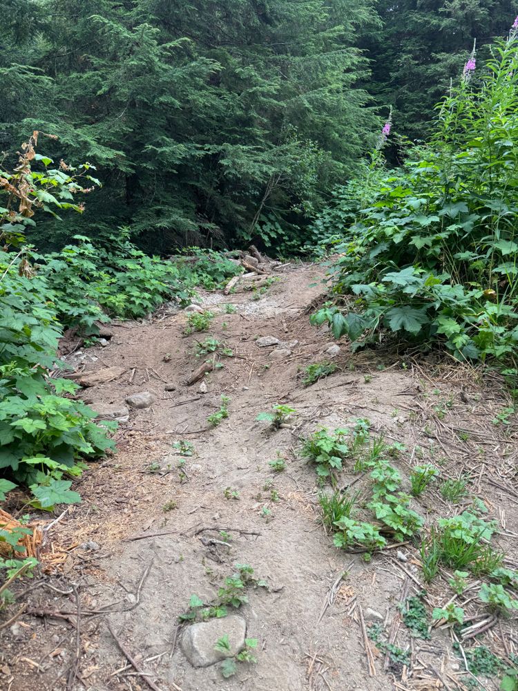
Once turning up Centre Creek the roadbed gets a bit eroded and loose, and there are a few moderate waterbars. The road bed actually gets better around...
Alex Barth - Jul 25, 2026Road is great but the gate was closed and locked.... Didn't encounter any logging operations but it was a Saturday
Michael Xueimel - Jul 25, 2026Road Updates
ET-ML(EASTTAHSIS ML) EASTTAHSIS
Road conditions have been updated to:
Upper Cochran RoadNew
Road added in the Rocky Mountain Natural Resource District region
Little Elk Branch ANew
Road added in the Rocky Mountain Natural Resource District region
Signal Mountain Fire RoadNew
Road added in the Alberta Resource District region
SILVER SANDS
Road conditions have been updated to:
FOSTER CREEK 30
New  has been reported at 50.481, -116.532
Tretheway Creek BypassNew
Road added in the Chilliwack Natural Resource District region
Tretheway Powerline AccessNew
Road added in the Chilliwack Natural Resource District region
Tretheway Creek FSR
Road conditions have been updated to:
TRE100
Road conditions have been updated to:
TRE100
 has been removed at 49.685, -122.126
Bremner Mainline
has been removed at 49.672, -122.022
20 Mile Bay FSR
New  has been reported at 49.526, -121.887
20 Mile Bay FSR
 has been changed to at 49.495, -121.878
A-600 Branch
Road conditions have been updated to:
Silver Skagit FSR
New has been reported at 49.328, -121.431
Halfway Creek RoadNew
Road added in the Selkirk Natural Resource District region
Eureka Creek FSR
Road conditions have been updated to:
Centre Creek FSR
Road conditions have been updated to:
Talc Creek FSR
Road conditions have been updated to:
Talc Creek FSR
New has been reported at 49.542, -121.752
SM2
Road conditions have been updated to:
Free to Use and Community Driven
Get up-to-date information about back country roads all over British Columbia, Alberta and the Yukon. Created by the community, for the community.
Detailed Reports
View road conditions broken down kilometer by kilometer and find the latest status on gates, bridges and washouts. Explore user submitted road reports and contribute your own with an easy-to-use road report system!
Explore the over 260,000 roads on the map and keep the community strong by sharing what you find on your adventures.
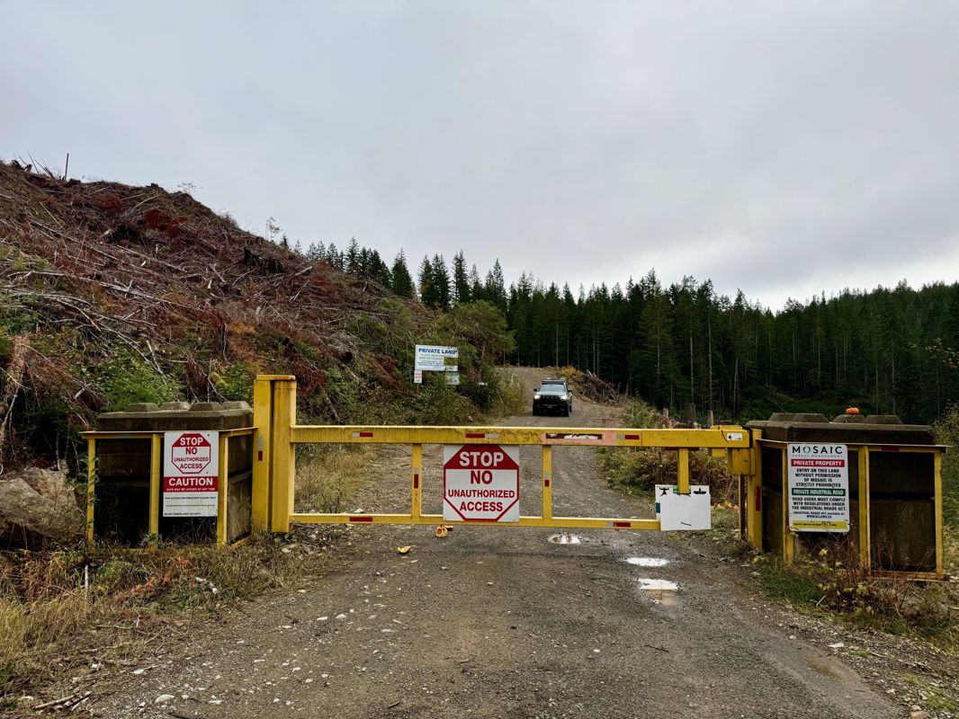
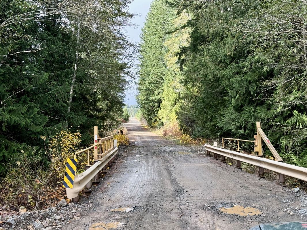
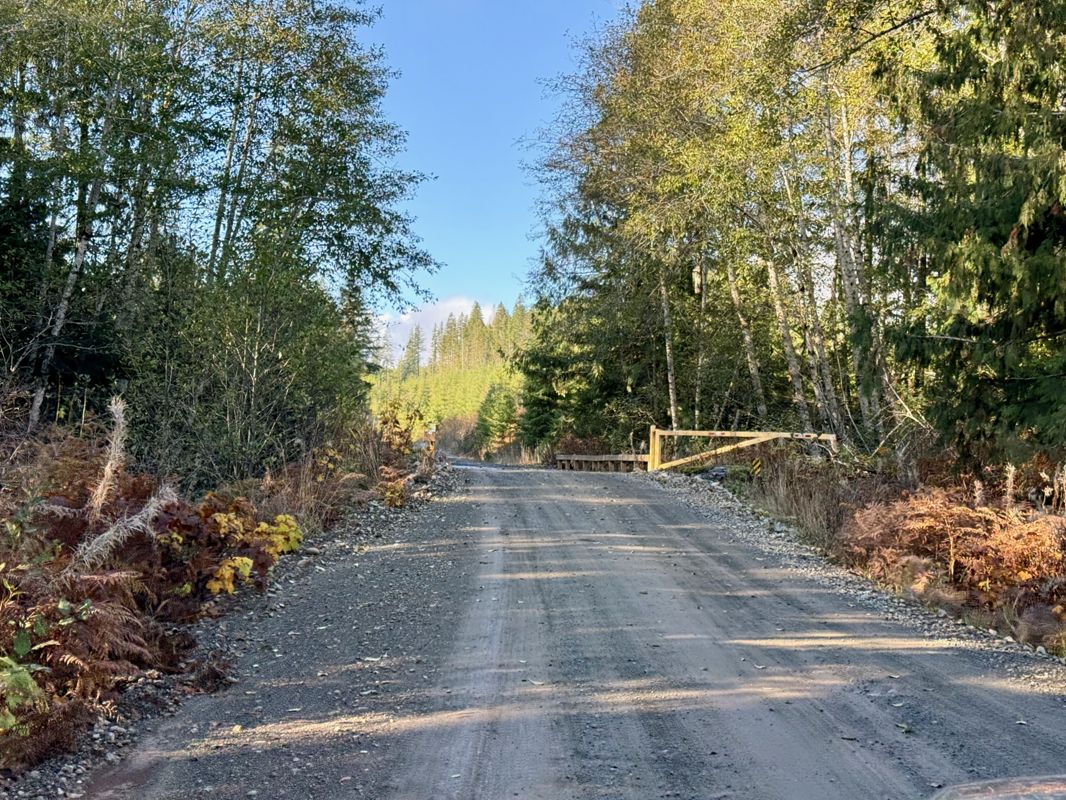
Toma Main
New has been reported at 49.514, -125.126

Map Layers
Find cut block data, wildlife closure zones, recent satellite imagery and a host of base maps to make your planning a breeze.
Offline Road Data
Take service road information offline with your favourite mapping application. The Service Road Atlas supports road downloads and offline use in apps like Gaia, OSMAnd, Caltopo and more.