Wildfire Restrictions in Effect
Recent Bulletins
The Aug 3 bulletin is very wrong. Road has NOT been repaved… some clearance is required for the water bars (nothing too bad).
Paul Ramu - Aug 08, 2026LEONIE CREEK
8hFINN-TUM
8hBridge out for replacement. Signed at 16 km Finn-Tum FSR (counts up going south, not as shown on map). Scheduled to finish August 14, 2026. Rest of ro...
Luca Mullins - Aug 04, 2026FINN-TUM
8hRoad in good shape up to bridge out. Lots of logging activity. Carry a radio.
Luca Mullins - Aug 04, 2026In good shape up to end of marked road on this map (i.e. 21.45 km) and perhaps slightly further. Approx. 8 meter wide road grade (wide enough to pass ...
Luca Mullins - May 08, 2026Road in good shape. Average rocks & potholes. Dusty. Bridge is out at 16 km on Finn-Tum FSR until August 14th so no access south (i.e. to Tum Tum main...
Luca Mullins - Aug 04, 2026High clearance 4WD vehicle required to access the mine site. Steep, loose rock and narrow shelf road sections.
Derek Wallace - Jul 29, 2026MCBRIDE PEAK
9hGood road conditions for moderate clearance 4WD up to the end of the road. Some minor water bars around 8km but passable.
Derek Wallace - Aug 02, 2026WEST CANOE
9hGood road conditions. 2WD passable. No recent grading but very little traffic.
Derek Wallace - Aug 05, 2026EAST CANOE
9hRoad conditions are good as timber licensee is now hauling logs from approximately 40km north to Valemount. Lots of truck traffic and very dusty when ...
Derek Wallace - Aug 11, 2026WD2760
10h


Start of the trail is steep, but not difficult. Only a short distance you come across a steep rocky section needing HC4x4. After that there are some w...
Steve Parkinson - Jun 28, 2026SIMP1070
13h


Extremely bushy, had to clear some medium-sized trees that had fallen then opens up with spectacular views down to the ocean below. Good cell service ...
Sean Caulfield - Aug 09, 2026SIMP1000
13hRoadbed in good condition but very bushy. Had to clip/saw several alders & clear a few fallen trees.
Sean Caulfield - Aug 09, 2026SIMPMAIN
13hThis road clearly doesn't see much travel but the roadbed is still in good shape. Bush starting to encroach further along. I left this road at 10km on...
Sean Caulfield - Aug 09, 2026Road Updates
FINN-TUM
Road conditions have been updated to:
FINN-TUM
Road conditions have been updated to:
FINN-TUM
Road condition has been updated to: Unknown
FINN-TUM
Road conditions have been updated to:
FINN-TUM
New  has been reported at 51.879, -119.138
FINN-TUM
Road conditions have been updated to:
Sunrise LakeNew
Road added in the Chilliwack Natural Resource District region
NAKA MAIN
Road conditions have been updated to:
WINTER HABOUR WHMAIN
Road conditions have been updated to:
SIMP1070
Road conditions have been updated to:
KOPRINOMN
Road conditions have been updated to:
Mount Morice Summit RoadNew
Road added in the Skeena Stikine Natural Resource District region
Free to Use and Community Driven
Get up-to-date information about back country roads all over British Columbia, Alberta and the Yukon. Created by the community, for the community.
Detailed Reports
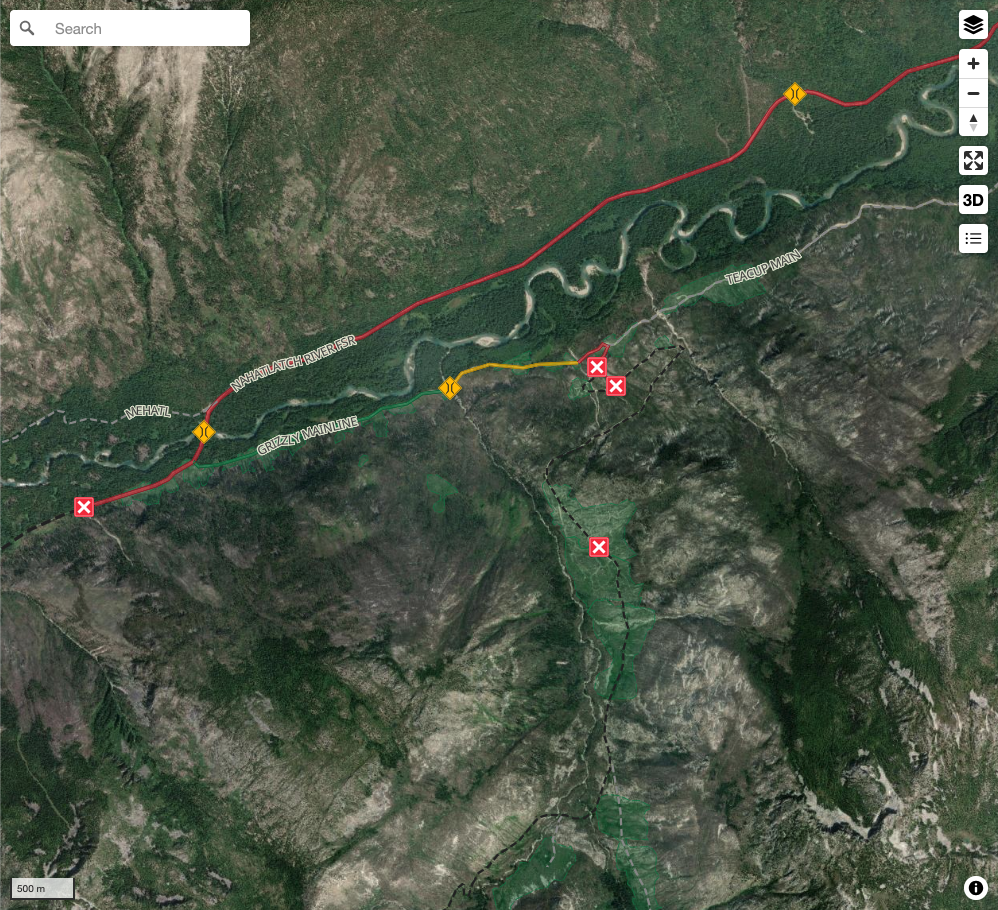
View road conditions broken down kilometer by kilometer and find the latest status on gates, bridges and washouts. Explore user submitted road reports and contribute your own with an easy-to-use road report system!
Explore the over 260,000 roads on the map and keep the community strong by sharing what you find on your adventures.
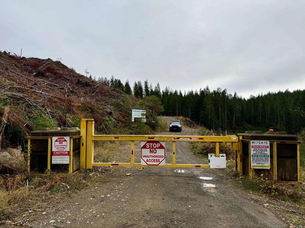
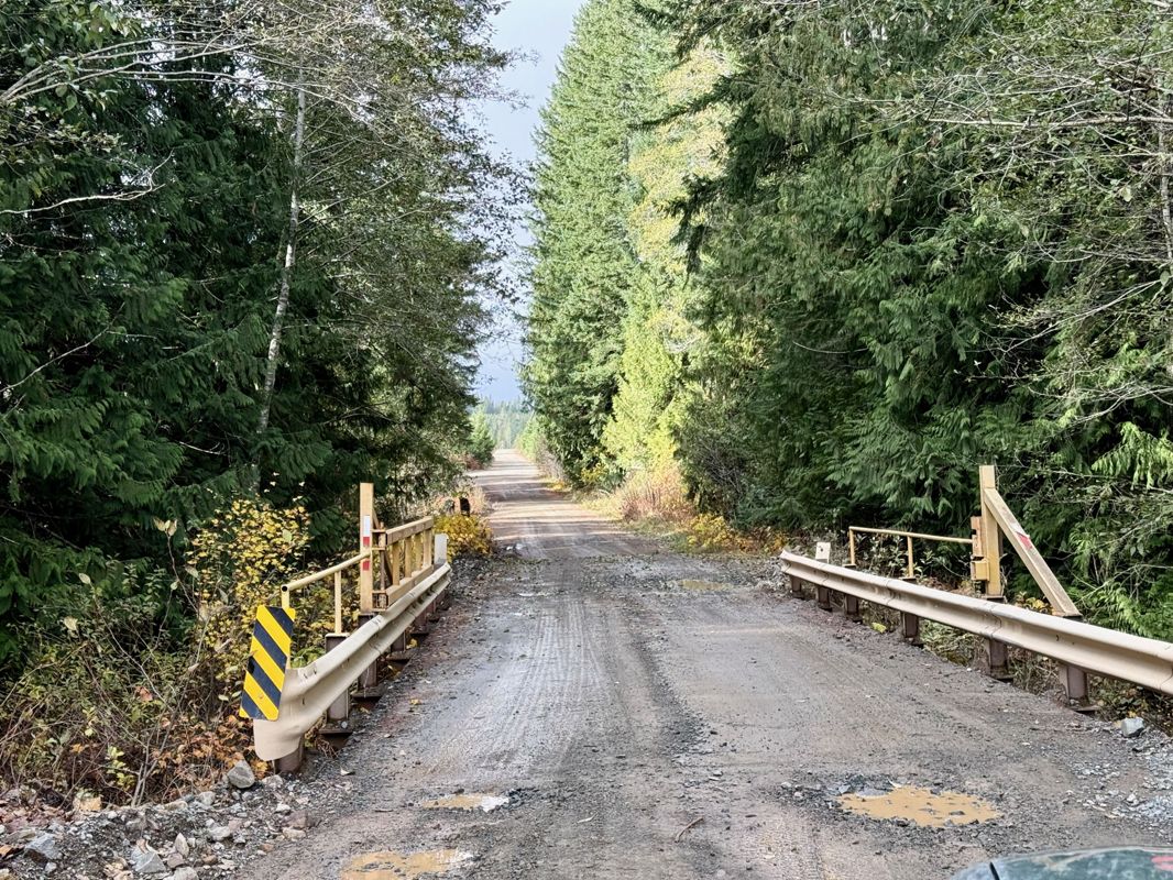
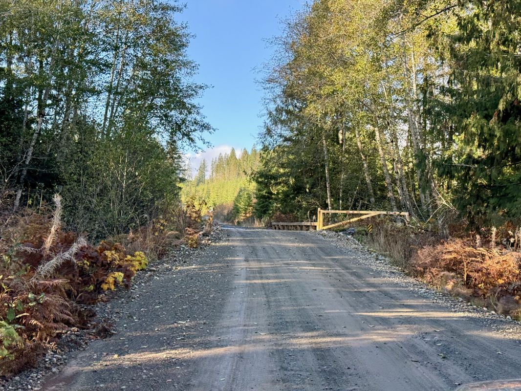
Toma Main
New  has been reported at 49.514, -125.126

Map Layers
Find cut block data, wildlife closure zones, recent satellite imagery and a host of base maps to make your planning a breeze.
Offline Road Data
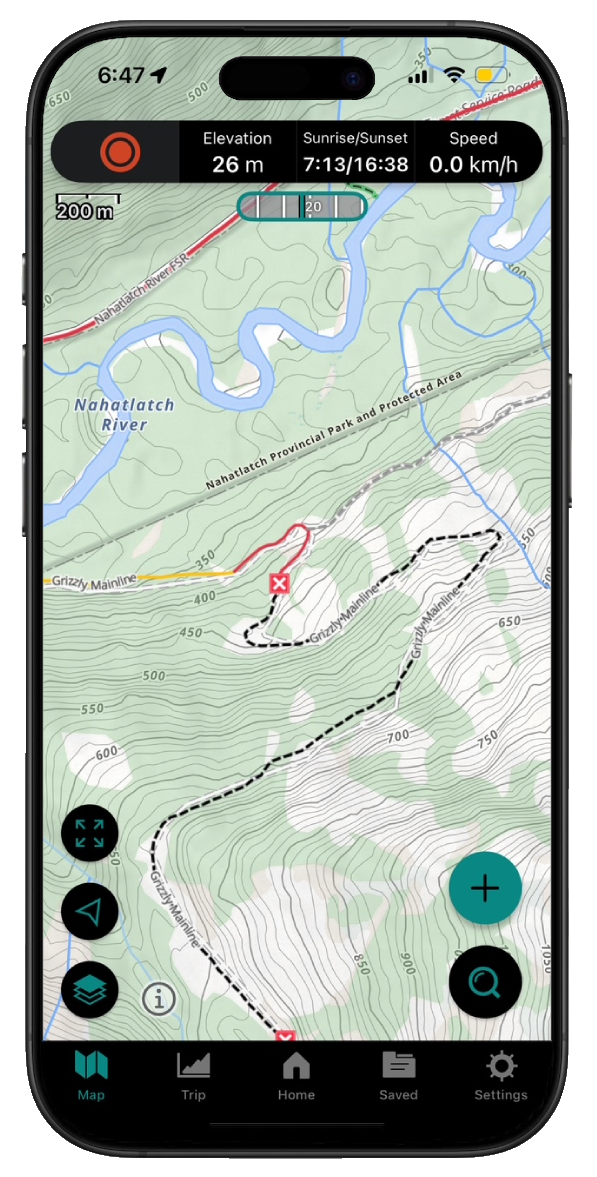
Take service road information offline with your favourite mapping application. The Service Road Atlas supports road downloads and offline use in apps like Gaia, OSMAnd, Caltopo and more.