2026 Service Road Atlas Survey
Want to request a new feature or change to the site? Help shape the future of this site by filling out this two question survey.
Recent Bulletins
Road conditions haven't changed since the last report. The roadbed is in good shape, with only a few minor water bars.
We trimmed most of the narrow,...
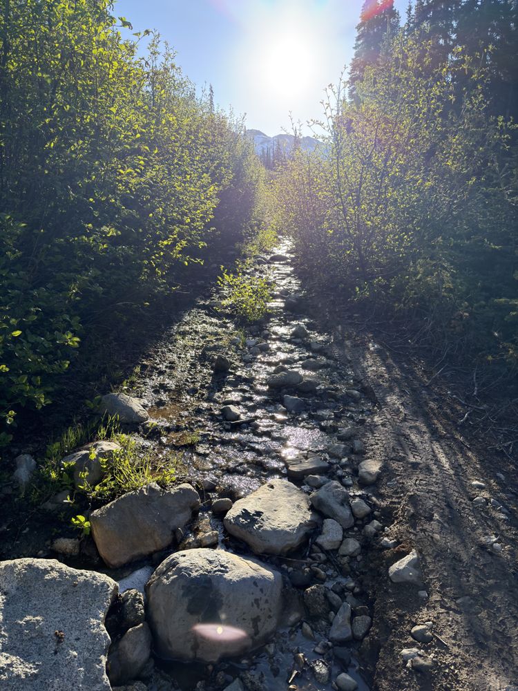
A-320
1h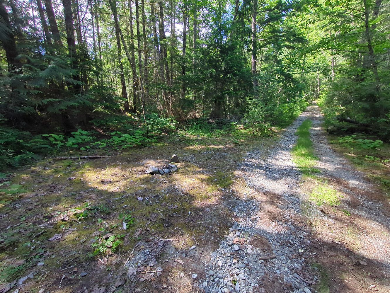
Drivable with high clearance vehicle until small washout at 49.939373, -123.337078. After that point road has numerous downed trees but is otherwise i...
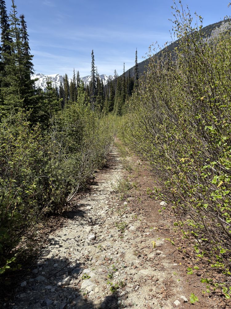
OSM Editor - Jun 14, 2026BRANCH A-100
1h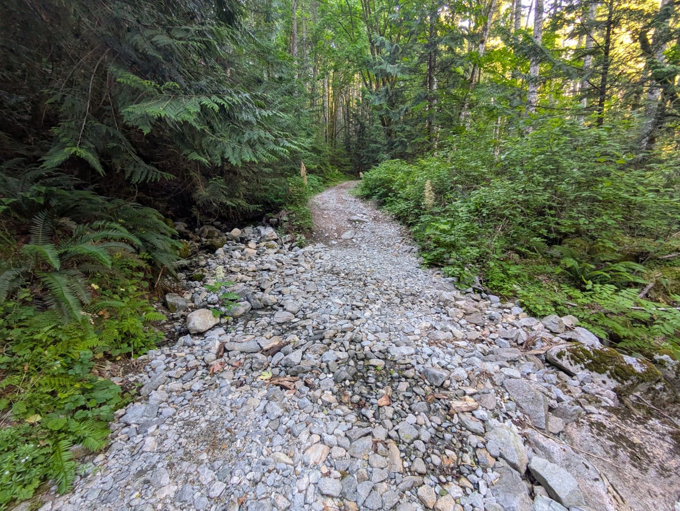
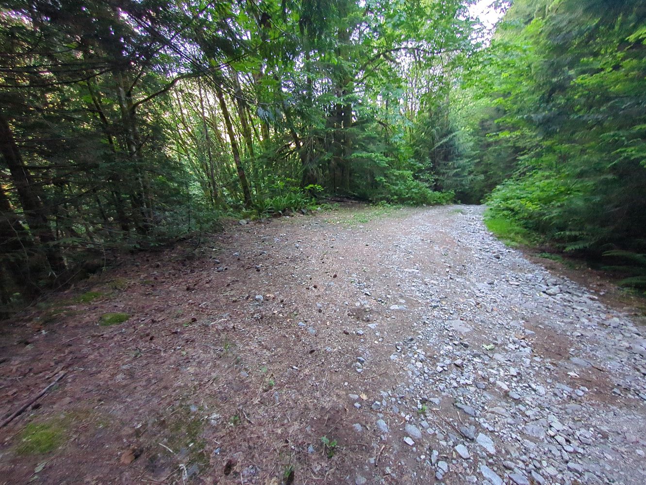
Part of the initial portion of this road crosses unmarked and vacant private property. Drivable with standard SUV until small washout of culverts at 4...
OSM Editor - Jun 14, 2026Rainy River FSR
14hDrove up to the Rainy Mountain TH. Compared to other FSRs, it’s generally quite rough. High clearance not really needed, but there are lots of chunky ...
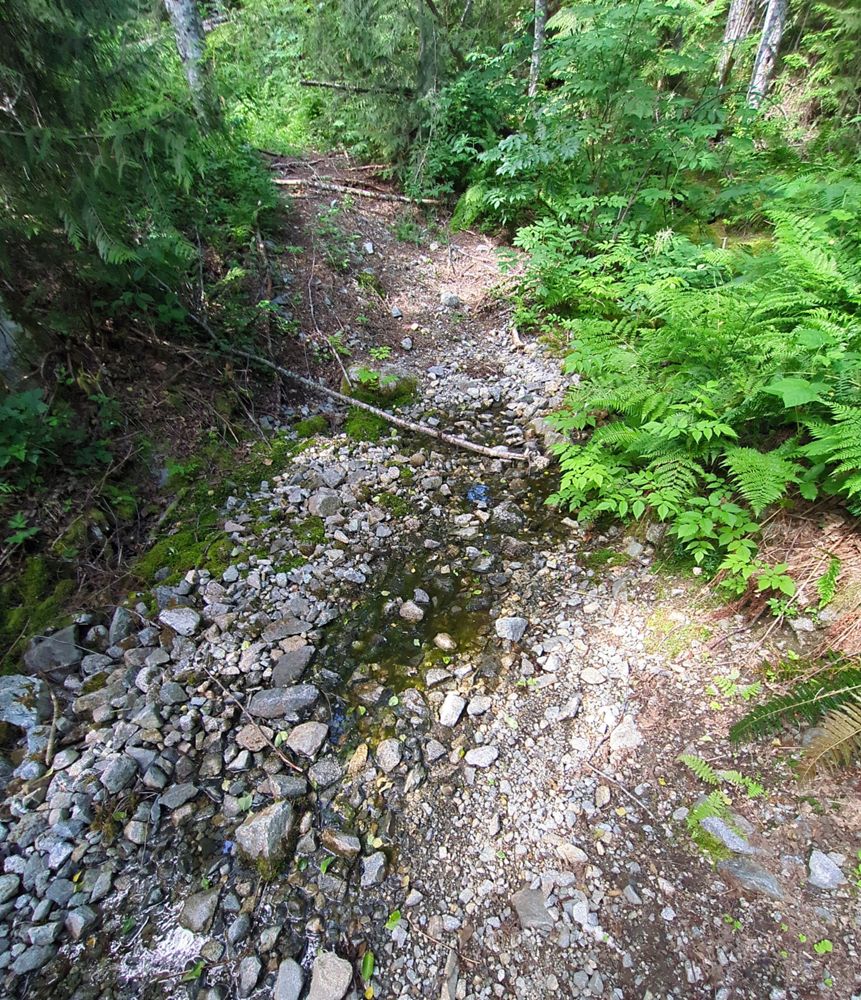
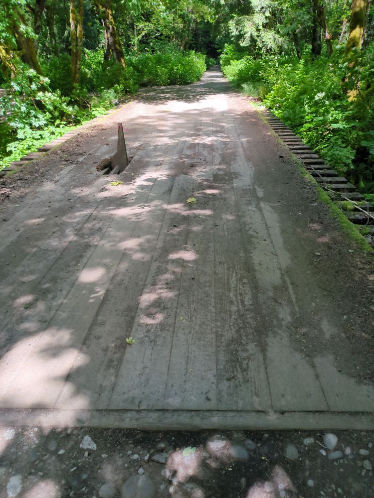
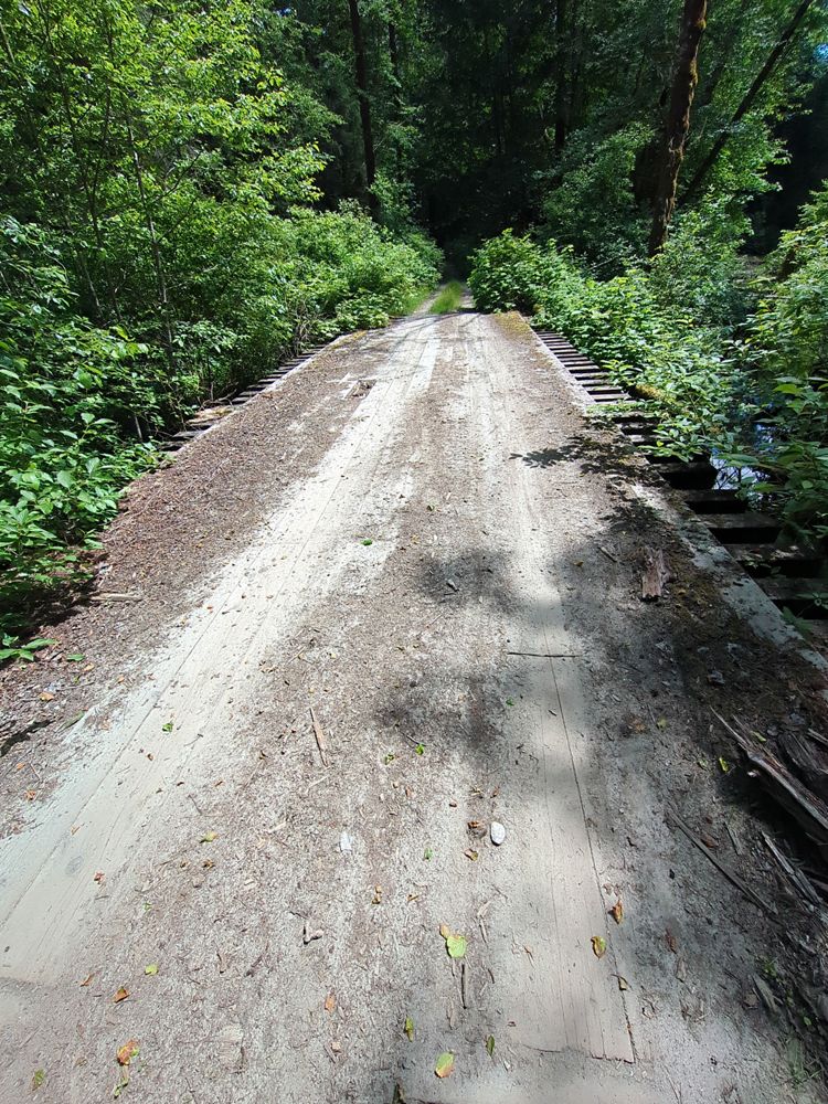
Mackenzie Booth - Jun 17, 2026SPUR 20
17hFirst couple KMs are good, beyond that it gets little bit bumpy. Quite a few potholes and some rocks but nothing was unavoidable or impassable in a lo...
Heath Anderson - Jun 05, 2026RENNELL ROAD
20hClosed at KM1 due to washout states the signage at the start of the road. Didn’t venture any further.
Seems to be getting worked on.
Drove this road in its entirety. Great condition and frequently maintained. Drove in a low clearance car without issue. Plenty of logging traffic, a r...
Heath Anderson - Jun 03, 2026R100
20hDrove a short distance to access the beach trail. No issues on this stretch in a low clearance car, just some potholes and bumps.
Road appears to be ...
Road Updates
EAST HOPE CREEK
Road conditions have been updated to:
A-320
Road conditions have been updated to:
BRANCH A-100
Road conditions have been updated to:
BRANCH A-100
![]() has been changed to
has been changed to ![]() at 49.926, -123.315
at 49.926, -123.315
BRANCH A-100
New ![]() has been reported at 49.922, -123.31
has been reported at 49.922, -123.31
BRANCH A-100
New ![]() has been reported at 49.918, -123.306
has been reported at 49.918, -123.306
SPUR 20
Road conditions have been updated to:
SWANSEA MOUNTAIN
![]() has been changed to
has been changed to ![]() at 50.485, -115.951
at 50.485, -115.951
RENNELL ROAD
Road conditions have been updated to:
Sts'ailes West FSR
Road conditions have been updated to:
Muir Main
New ![]() has been reported at 48.396, -123.878
has been reported at 48.396, -123.878
Tugwell Main
![]() has been verified at 48.473, -123.819
has been verified at 48.473, -123.819
Tugwell Main
![]() has been verified at 48.473, -123.819
has been verified at 48.473, -123.819
Tugwell Main
New ![]() has been reported at 48.387, -123.859
has been reported at 48.387, -123.859
L1000
New ![]() has been reported at 48.591, -124.218
has been reported at 48.591, -124.218
Free to Use and Community Driven
Get up-to-date information about back country roads all over British Columbia, Alberta and the Yukon. Created by the community, for the community.
Detailed Reports
View road conditions broken down kilometer by kilometer and find the latest status on gates, bridges and washouts. Explore user submitted road reports and contribute your own with an easy-to-use road report system!
Explore the over 260,000 roads on the map and keep the community strong by sharing what you find on your adventures.


Toma Main
New ![]() has been reported at 49.514, -125.126
has been reported at 49.514, -125.126

Map Layers
Find cut block data, wildlife closure zones, recent satellite imagery and a host of base maps to make your planning a breeze.
Offline Road Data
Take service road information offline with your favourite mapping application. The Service Road Atlas supports road downloads and offline use in apps like Gaia, OSMAnd, Caltopo and more.


