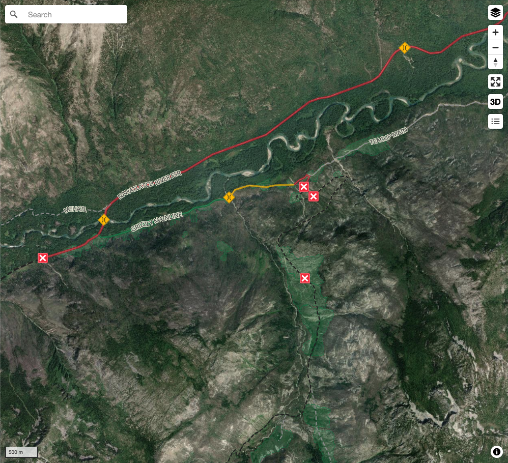
Recent Bulletins


New work on the road from roughly 3km-9km (Flathead Pass) has left the road surface soft and rutted in places. Recent rain had also created muddy cond...
Cyrus Pischke - Sep 10, 2026CP 518 AMEND 48
20hCP 519 AMEND 59
20hCP 566 AMEND 21
20hWhite-Rock FSR
20h

As described, the first 10km are really great, easy, fast driving. The middle-end sections, after the fork at ~11km, requires clearance. The tow brack...
David BasuRoy - Aug 21, 2026Whiteswan FSR
21h
Generally good shape. Narrow from Bull River FSR to whiteswan lake. i didn't pass any logging trucks, but it would be hard to make space if t you did....
David BasuRoy - Aug 20, 2026Bull River Main
21h


Great condition honestly. I was in a 2009 Subaru Outback. Zero issues. Some kind souls have cut all the down trees just wide enough. I moved one small...
David BasuRoy - Aug 25, 2026


The road surface is gravel. It is in good condition, but there are MANY steep water bars that will be a challenge for anything less than an SUV. Stock...
Steve Parkinson - Sep 11, 2026


The road is mostly dirt with some gravel and rocky sections. It is narrow in many places so expect heavy pinstriping. There are muddy sections and lar...
Steve Parkinson - Sep 11, 2026


The road surface is gravel and dirt. There are many steep hills with loose gravel and rocks. There are rock ledges and switchbacks. The views are ama...
Steve Parkinson - Sep 11, 2026G-200
1dActive logging in the area. Spur road has been extended to about 800m length, ending at el.~600m
JeanNicholas DiMarzo - Sep 11, 2026Logging underway and road in great shape. Excavator at the end of the road seemingly getting ready to punch the road out further to access the next cu...
JeanNicholas DiMarzo - Sep 11, 2026We parked at the bottom. It seems like it would take more time to drive than to hike. We met a guy in cool dune-buggy like ATV and he says the road is...
Martin Ortmayr - Sep 06, 2026

Creek crossing at 6.5km has been fixed and drivable with moderate clearance. My truck and camper made it no trouble with jacks removed. Valencienne Ri...
Bradley Lecomte - Sep 05, 2026The "impasse" with logs has been repaired to 4x4 standards. Whoever repaired it did a very good job. Past that point road becomes grown in and you sho...
Vitali Beliak - Sep 06, 2026Road Updates
M-LINE M-LINE
New  has been reported at 49.714, -123.065
BUSH 97 VALENCIENNES
Road conditions have been updated to:
Paleface Creek FSR
 has been removed at 49.047, -121.398
Paleface Creek FSR
 has been removed at 49.051, -121.38
PINE LAKE
has been verified at 49.352, -122.336
PINE LAKE
New has been reported at 49.352, -122.336
DUNN PEAK
Road conditions have been updated to:
Tutshi Peak Mine RoadNew
Road added in the Skeena Stikine Natural Resource District region
Paddy Peak Mine Road 2New
Road added in the Skeena Stikine Natural Resource District region
Paddy Peak Mine Road 2New
Road added in the Skeena Stikine Natural Resource District region
Free to Use and Community Driven
Get up-to-date information about back country roads all over British Columbia, Alberta and the Yukon. Created by the community, for the community.
Detailed Reports
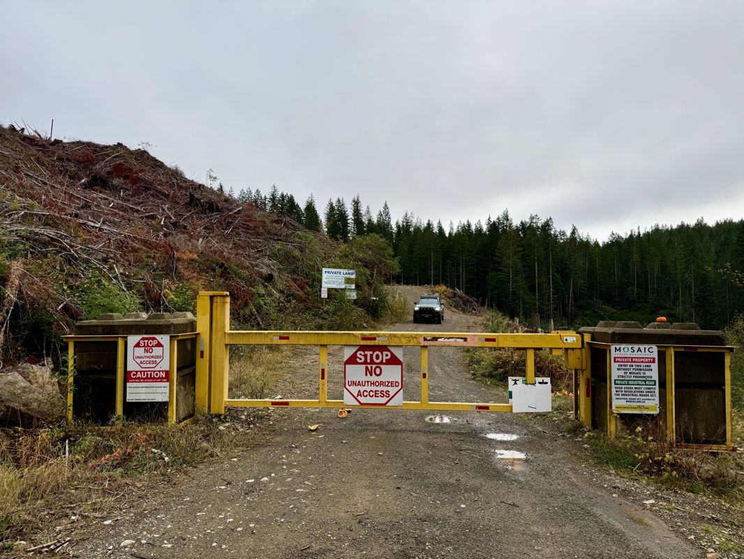
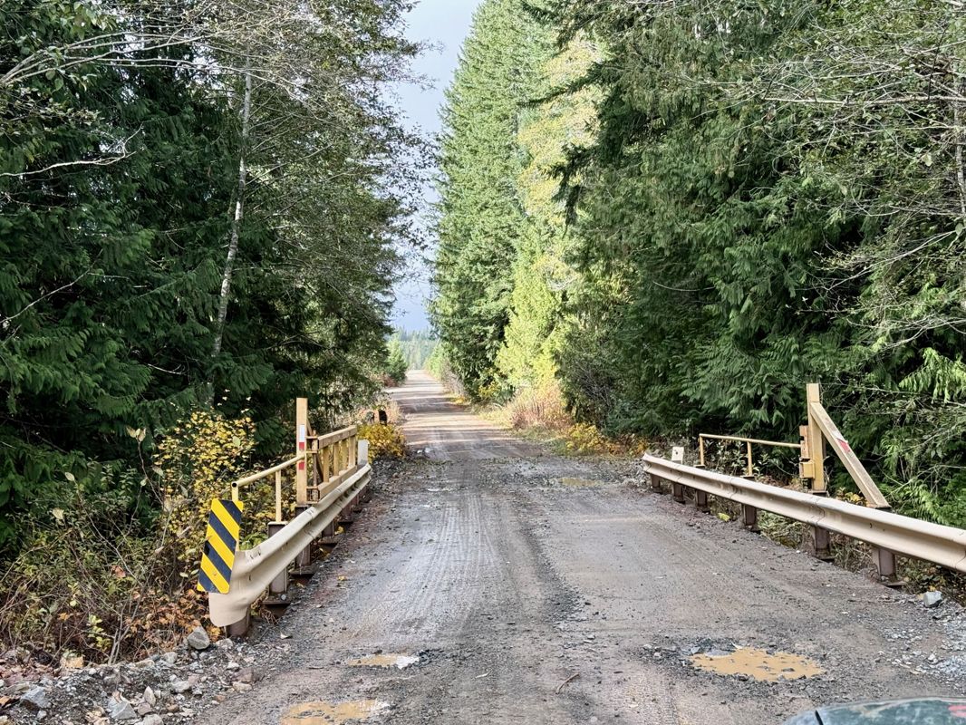
View road conditions broken down kilometer by kilometer and find the latest status on gates, bridges and washouts. Explore user submitted road reports and contribute your own with an easy-to-use road report system!
Explore the over 260,000 roads on the map and keep the community strong by sharing what you find on your adventures.
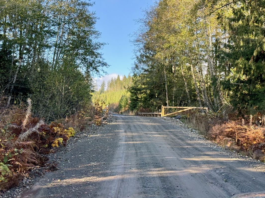
Toma Main
New has been reported at 49.514, -125.126

Map Layers
Find cut block data, wildlife closure zones, recent satellite imagery and a host of base maps to make your planning a breeze.
Offline Road Data
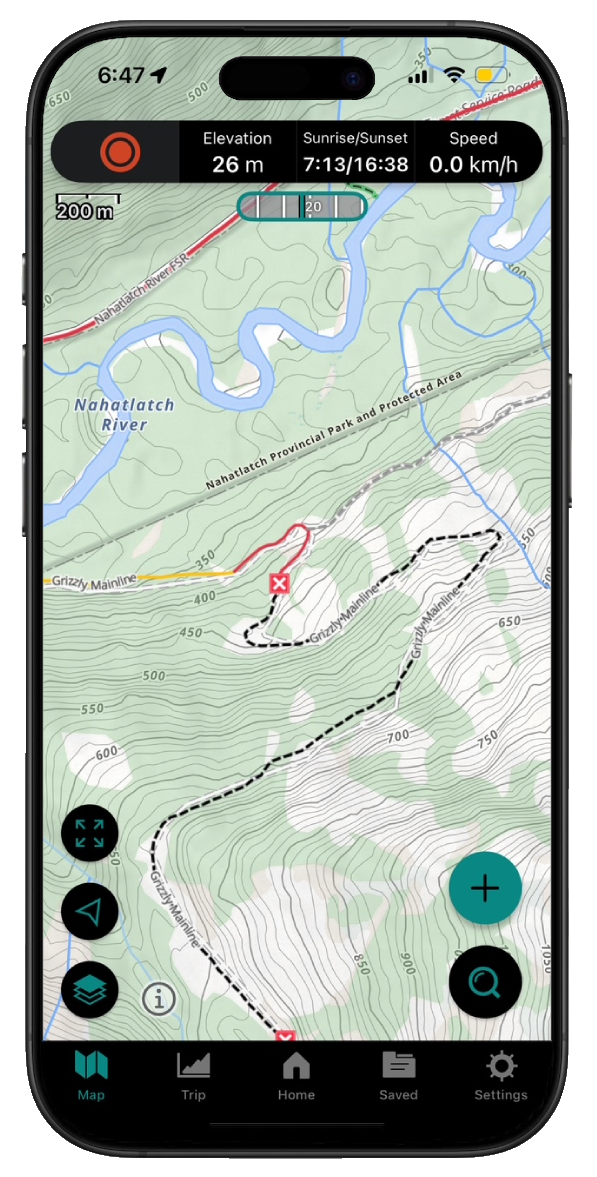
Take service road information offline with your favourite mapping application. The Service Road Atlas supports road downloads and offline use in apps like Gaia, OSMAnd, Caltopo and more.