Recent Bulletins
MEAGERCR S
45mThere is a new gate (or the old moved a bit further up) installed just before 24km mark - on Meager CR S (right after a fork to Perkins) .
It was unl...
Bear Lake FSR
12hPretty good. Could probably average 50Km/h. Watch out for washboard and pot hole sections the entire way.
Stephen Bunyak - Jul 03, 2026ESPERON
12hSame as last post. Good shape, with some pot hole and washboard sections. Watch out for cows and cow patties on the road.
Stephen Bunyak - Jul 03, 2026TERRACE LOOKOUT
12h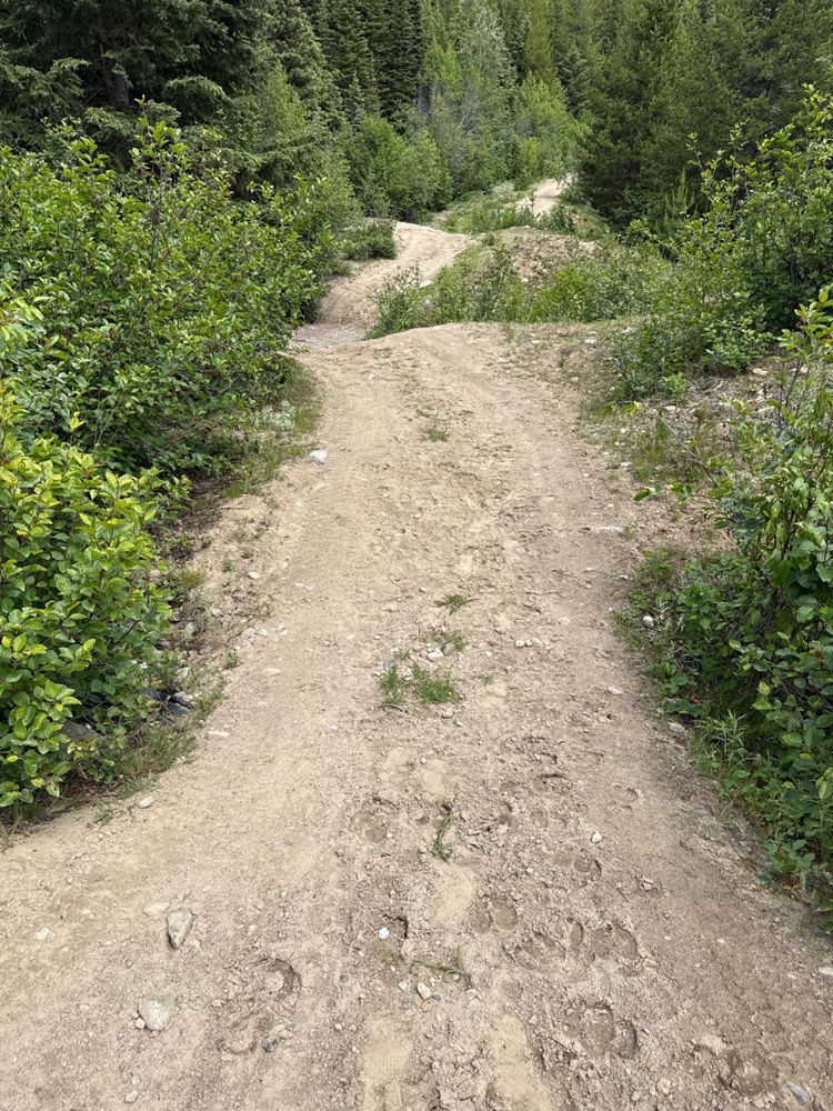
Very smooth road to the washout? Deactivation at about the 1.9-2km mark. Looks fairly passable with a ATV/Moto, but one corner looked a bit sharp for ...
Stephen Bunyak - Jul 03, 2026
Quite a dip right at the “trail head” coming from Christie Main. Easily passable in atv/moto, and probably a short wheel base wrangler sorta vehicle. ...
Stephen Bunyak - Jul 03, 2026CHRISTIE MAIN 5D
13h
Lots of pot holes from the begining to 7.56 km. There’s a deactivation at the 7.56km mark, but a bypass has sorta been driven into the ground. Little ...
Stephen Bunyak - Jul 03, 2026Same conditions as last post. A little rough and steep at the beginning, otherwise fair all the way up.
Stephen Bunyak - Jul 03, 2026Easily 2wd to the rec site. A newer mazda 3 drove past me in the opposite direction.
Stephen Bunyak - Jul 02, 2026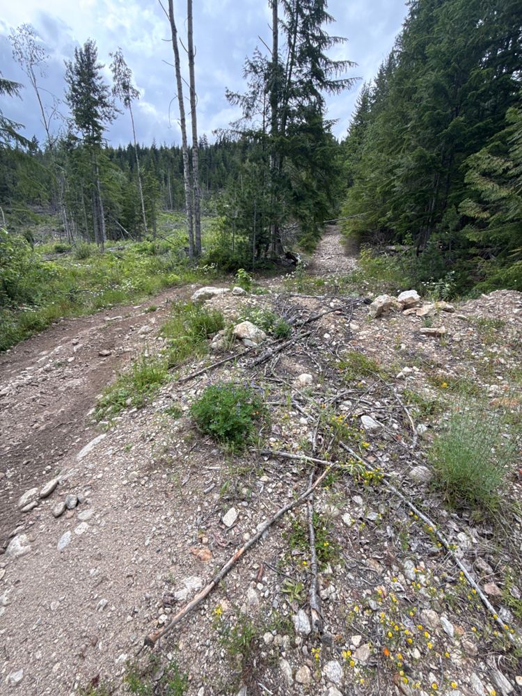
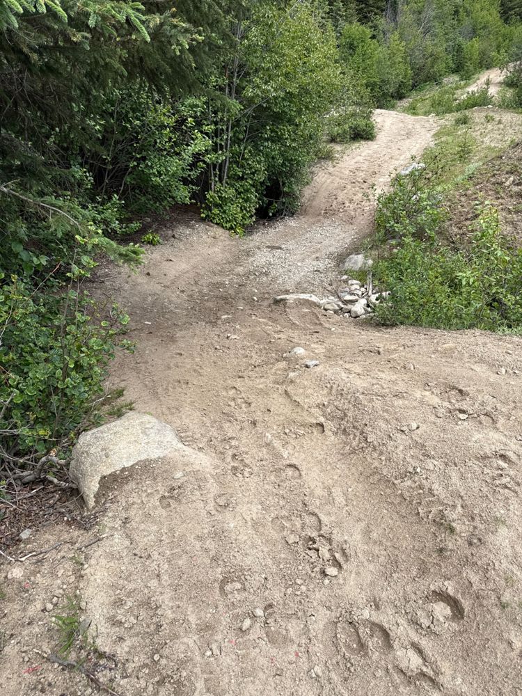
Oddly smooth up to what looks like a gatekeeper at the split at 0.55 km. There’s a bypass, but looks too rough for a solo trip up. Maybe better for a ...
Stephen Bunyak - Jul 02, 2026KATE CREEK
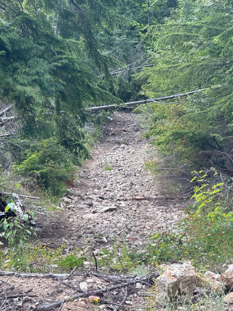
1dRoad was pretty dry going up today. My first piece of advice is to NOT go up when it’s wet/thawing. The road is pretty heavily rutted from vehicles go...
Stephen Bunyak - Jul 02, 2026
I don’t know what that impasse is, it should be taken down. I was able to drive to 0.55 km, and then the road HEAVILY narrows for a short bit. Probabl...
Stephen Bunyak - Jul 02, 2026266.506.04
1dRoad is in generally good condition. The odd shallow cross ditch and potholes. I could get a 2wd up here.
Rob Pargee - Jul 02, 2026ME7573.08
1dRoad is in generally good condition. The odd shallow cross ditch and potholes. I could get a 2wd up here.
Rob Pargee - Jul 02, 2026ME7573.12
1dDrove to the end of the road in Subaru Outback. 2wd might struggle on these last couple kms. Bit rough and shallow water bars.
Rob Pargee - Jul 02, 2026Road Updates
TERRACE LOOKOUT
Road conditions have been updated to:
CP847, BLOCK ROADS
Road conditions have been updated to:
Blue Grouse Mountain Road
Road conditions have been updated to:
MEAGERCR S
New ![]() has been reported at 50.595, -123.376
has been reported at 50.595, -123.376
KATE CREEK
Road conditions have been updated to:
MAINLINE 375005
Road conditions have been updated to:
Chipmunk Creek FSR
Road conditions have been updated to:
8793 01
Road conditions have been updated to:
Free to Use and Community Driven
Get up-to-date information about back country roads all over British Columbia, Alberta and the Yukon. Created by the community, for the community.
Detailed Reports
View road conditions broken down kilometer by kilometer and find the latest status on gates, bridges and washouts. Explore user submitted road reports and contribute your own with an easy-to-use road report system!
Explore the over 260,000 roads on the map and keep the community strong by sharing what you find on your adventures.


Toma Main
New ![]() has been reported at 49.514, -125.126
has been reported at 49.514, -125.126

Map Layers
Find cut block data, wildlife closure zones, recent satellite imagery and a host of base maps to make your planning a breeze.
Offline Road Data
Take service road information offline with your favourite mapping application. The Service Road Atlas supports road downloads and offline use in apps like Gaia, OSMAnd, Caltopo and more.


