Recent Bulletins
The gate is gone! Road is in good condition but there are more frequent and steeper waterbars than before the logging. Nothing crazy. Any vehicle with...
Holly Engstrom - Sep 08, 2026Paleface 500
9hThere is one creek crossing where you'll need high clearance 4x4. Made it no problem in a Toyota Tundra. Otherwise road is in good shape.
Holly Engstrom - Sep 09, 2026DUNN PEAK
16hSplit between good and not is imprecise. Grassy bed makes it hard to see exactly what ur driving on but generally fine. A beater 2wd can probably make...
Tareef Dedhar - Sep 07, 2026HARPER CREEK
16hGenerous width for a single vehicle, opposing traffic can pass easily but slowly. First km has small drainage ditches cut across the slope but less de...
Tareef Dedhar - Sep 07, 2026CU1300
1dNot drivable, as I believe it’s always gated at the highway, but easily hikable to the creek crossing at 710m. Did not investigate further.
Todd Ponzini - Sep 02, 2026We parked at the bottom. It seems like it would take more time to drive than to hike. We met a guy in cool dune-buggy like ATV and he says the road is...
Martin Ortmayr - Sep 06, 2026The road is in good shape, a few potholes and the last KM or so has some small waterbars that require some clearance.
Martin Ortmayr - Sep 06, 2026Last week (Sep 02, 2026) a contractor from Gold Bridge dug a trench through the landslide and drove our cars across. On Sep 03 we went up there and re...
Flavio Wasniewski - Sep 08, 2026Road is brushed in but in otherwise good shape.
The last 300m down to the lake is steep/ eroded and brushed in. Parking lot at top of hill.
SMITH RIVER
1dRoad is passable in a medium/high clearance vehicle. Generally in good shape other than brush and some minor muddy sections. Road was flooded at 23km ...
Alan Smithee - Sep 03, 2026BR P550
1dSame condition as the previous road which leads up to this point. The trailhead for the restored Harrison Hut trail is at the end of this spur
Alex Barth - Sep 07, 2026No waterbars, but some steep and loose sections that require 4wd. The worst section is at 1.5 km. After 4.5 km a little overgrown, no pinstriping but ...
Alex Barth - Sep 07, 2026LL1000
1d

It seems in the last year or so the road has been completely brushed out. No bush what so ever. With that being said the water bars that are in place ...
Francis Bailey - Sep 07, 2026
Good condition first 10-11km, after that much more potholes and stones. Made it to 14th km on stock CX5. After 11th it’s a crawl for non-off-roader if...
David Lukac - Sep 07, 2026Cheekye FSR
2dAs mentioned in previous comments, water bars are the biggest challenge. I made it all the way up to the gate in my stock Mazda CX-50, but I barely cl...
Patrick Bochenek - Aug 26, 2026Road Updates
PINE LAKE
 has been verified at 49.352, -122.336
PINE LAKE
New has been reported at 49.352, -122.336
DUNN PEAK
Road conditions have been updated to:
Tutshi Peak Mine RoadNew
Road added in the Skeena Stikine Natural Resource District region
Paddy Peak Mine Road 2New
Road added in the Skeena Stikine Natural Resource District region
Paddy Peak Mine Road 2New
Road added in the Skeena Stikine Natural Resource District region
Paddy Peak Mine RoadNew
Road added in the Skeena Stikine Natural Resource District region
Skukum West Mine RoadNew
Road added in the Yukon Resource District region
Paddy Pass Mine RoadNew
Road added in the Skeena Stikine Natural Resource District region
WEST LAKE SPUR
Road conditions have been updated to:
SMITH RIVER
Road conditions have been updated to:
KAKILA CREEK
 has been verified at 50.094, -122.541
Lost Creek FSR
Road conditions have been updated to:
Cheekye FSR
Road conditions have been updated to:
HAYLMORE CREEK MAIN
Road conditions have been updated to:
R08247 SEC.15
Road conditions have been updated to:
Free to Use and Community Driven
Get up-to-date information about back country roads all over British Columbia, Alberta and the Yukon. Created by the community, for the community.
Detailed Reports
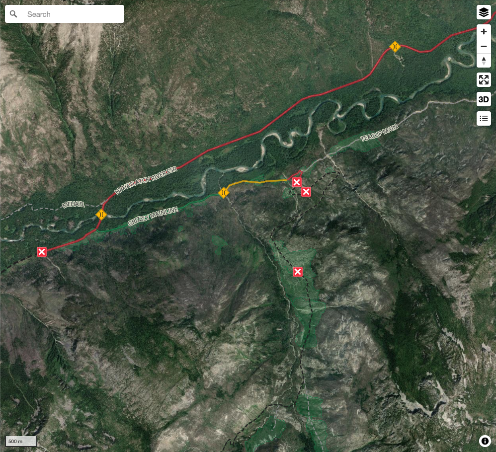
View road conditions broken down kilometer by kilometer and find the latest status on gates, bridges and washouts. Explore user submitted road reports and contribute your own with an easy-to-use road report system!
Explore the over 260,000 roads on the map and keep the community strong by sharing what you find on your adventures.
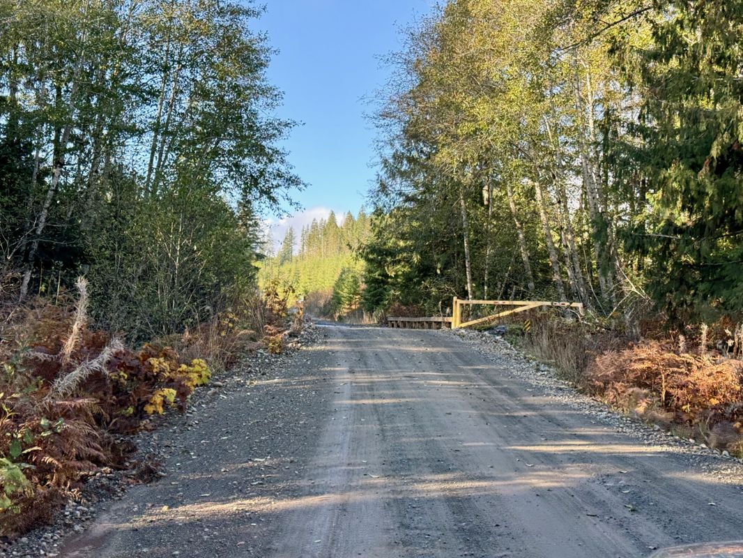
Toma Main
New has been reported at 49.514, -125.126

Map Layers
Find cut block data, wildlife closure zones, recent satellite imagery and a host of base maps to make your planning a breeze.
Offline Road Data
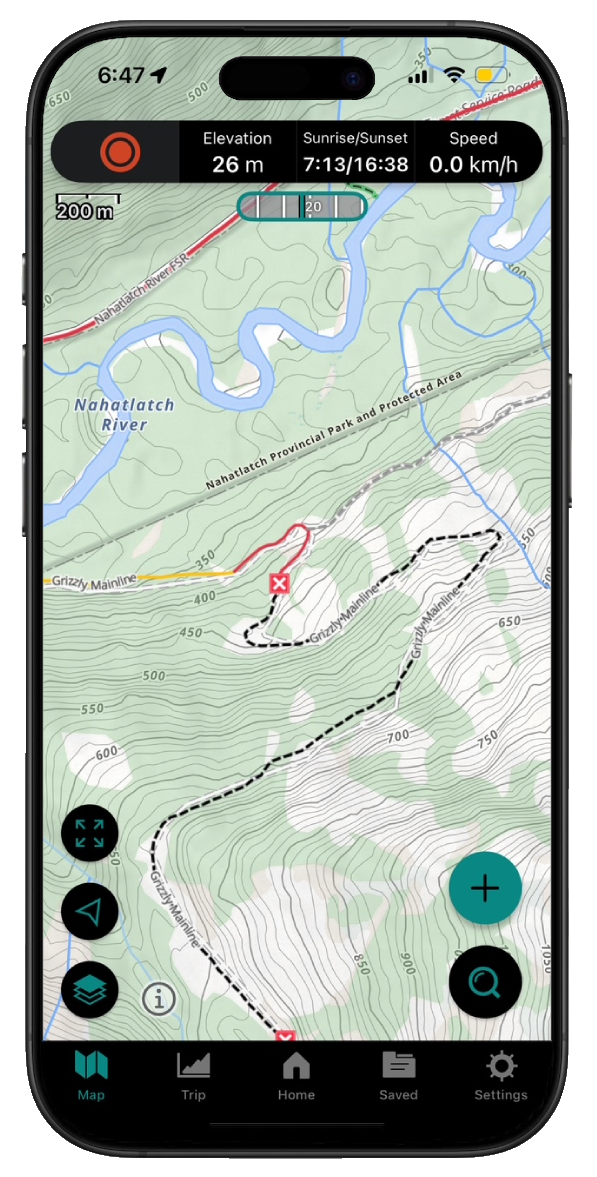
Take service road information offline with your favourite mapping application. The Service Road Atlas supports road downloads and offline use in apps like Gaia, OSMAnd, Caltopo and more.