Recent Bulletins
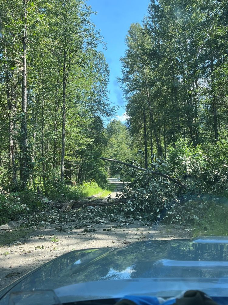
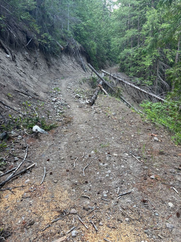
Several large tress down across the road between km 4-15, largest being roughly ~40 inches in diameter. Some were small enough to cut but a few requir...
Peter Smith - Jul 19, 2026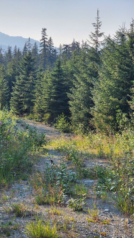
BLOCK C454
11h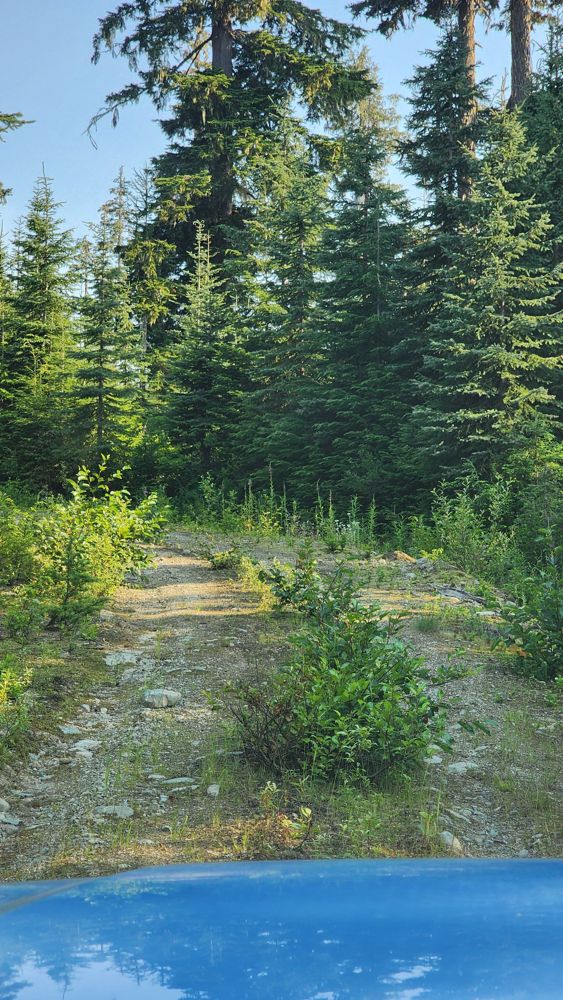
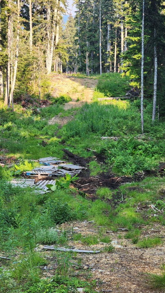
Tried to do the loop in my Pilot. Gets more overgrown I think after the creek. Instead of grass growing in center line, it's small bushes. Luckily, no...
Gavin - Jul 20, 2026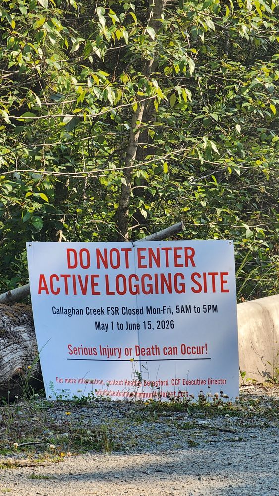
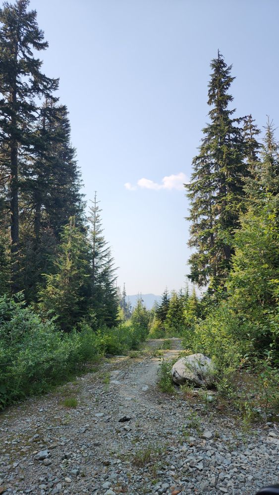
Good till 5 km. Gets a little narrower and looser, but seems fine. Turned around as there was room.
Gavin - Jul 20, 2026BLKS C328. C327
12hWasn't paying attention and took a wrong turn up this road in my Pilot. It's in ok condition to 1 km. Took a left at the dotted line until first switc...
Gavin - Jul 20, 2026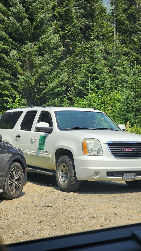
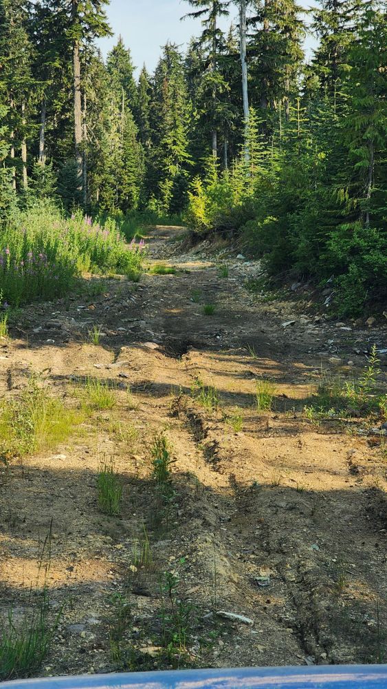
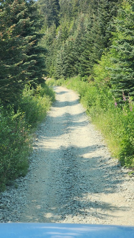
Ok condition. Some spots are rougher. I think the gate at 4.3 km was open as another SUV was coming out. However, a Whistler Olympic Park SUV parked t...
Gavin - Jul 20, 2026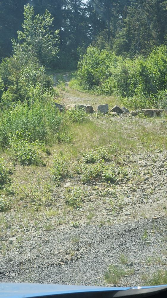
First half has multiple mild water bars. Then it flattens out. No scraping in my Honda Pilot TrailSport with 8.3" clearance. Only had to angle for a f...
Gavin - Jul 20, 2026CP 8 HORN CREEK
14h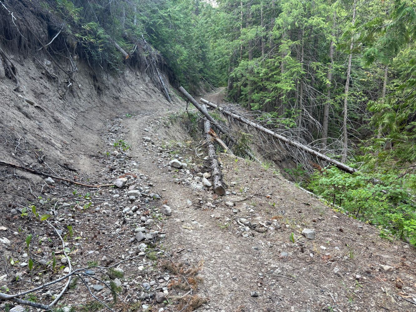
Road Updates
SL-3New
Road added in the Chilliwack Natural Resource District region
BLOCK C454
Road conditions have been updated to:
CALLAGHAN CREEK MAIN CALLAGHANCREEKMAIN
Road conditions have been updated to:
CALLAGHAN
New ![]() has been reported at 50.116, -123.118
has been reported at 50.116, -123.118
CALLAGHAN
Road conditions have been updated to:
CALLAGHAN
New ![]() has been reported at 50.107, -123.111
has been reported at 50.107, -123.111
Callaghan 458
New ![]() has been reported at 50.136, -123.127
has been reported at 50.136, -123.127
WEST MADELEY M/L MADELEY
Road conditions have been updated to:
WEST MADELEY M/L MADELEY
New ![]() has been reported at 50.158, -123.127
has been reported at 50.158, -123.127
CP 8 HORN CREEK
Road conditions have been updated to:
CP 8 HORN CREEK
New ![]() has been reported at 49.292, -119.761
has been reported at 49.292, -119.761
HORN CREEK
New ![]() has been reported at 49.293, -119.761
has been reported at 49.293, -119.761
HORN CREEK
New ![]() has been reported at 49.293, -119.761
has been reported at 49.293, -119.761
Kobau FSR
New ![]() has been reported at 49.207, -119.653
has been reported at 49.207, -119.653
SL1
Road conditions have been updated to:
SL1
New ![]() has been reported at 49.032, -121.647
has been reported at 49.032, -121.647
Free to Use and Community Driven
Get up-to-date information about back country roads all over British Columbia, Alberta and the Yukon. Created by the community, for the community.
Detailed Reports
View road conditions broken down kilometer by kilometer and find the latest status on gates, bridges and washouts. Explore user submitted road reports and contribute your own with an easy-to-use road report system!
Explore the over 260,000 roads on the map and keep the community strong by sharing what you find on your adventures.


Toma Main
New ![]() has been reported at 49.514, -125.126
has been reported at 49.514, -125.126

Map Layers
Find cut block data, wildlife closure zones, recent satellite imagery and a host of base maps to make your planning a breeze.
Offline Road Data
Take service road information offline with your favourite mapping application. The Service Road Atlas supports road downloads and offline use in apps like Gaia, OSMAnd, Caltopo and more.


