2026 Service Road Atlas Survey
Want to request a new feature or change to the site? Help shape the future of this site by filling out this two question survey.
Recent Bulletins
2 km gate open. Road is cleared and open past 13 km. There's some erosion there that gotten slightly worse since last year. I probably could have clea...
Gavin - Jun 21, 2026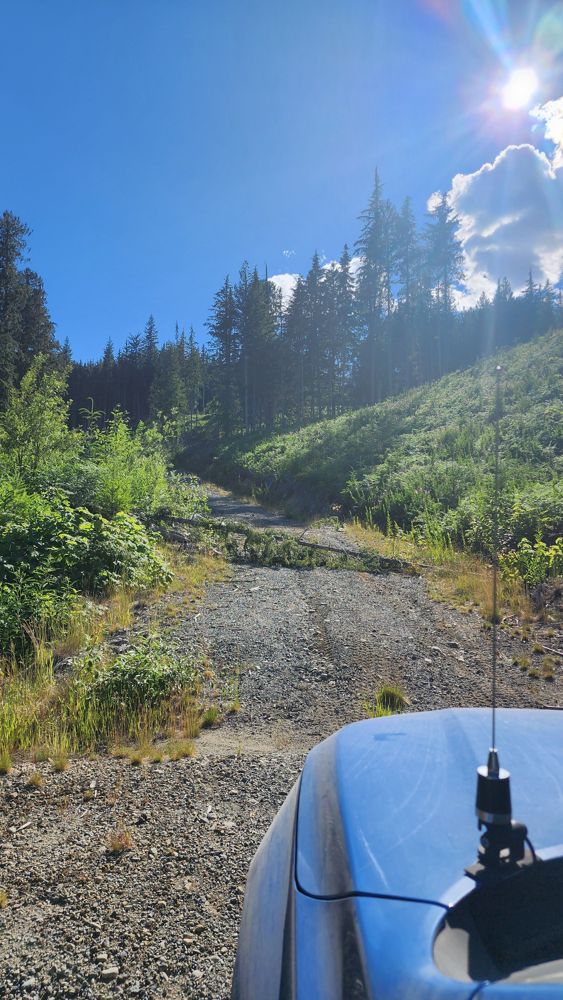
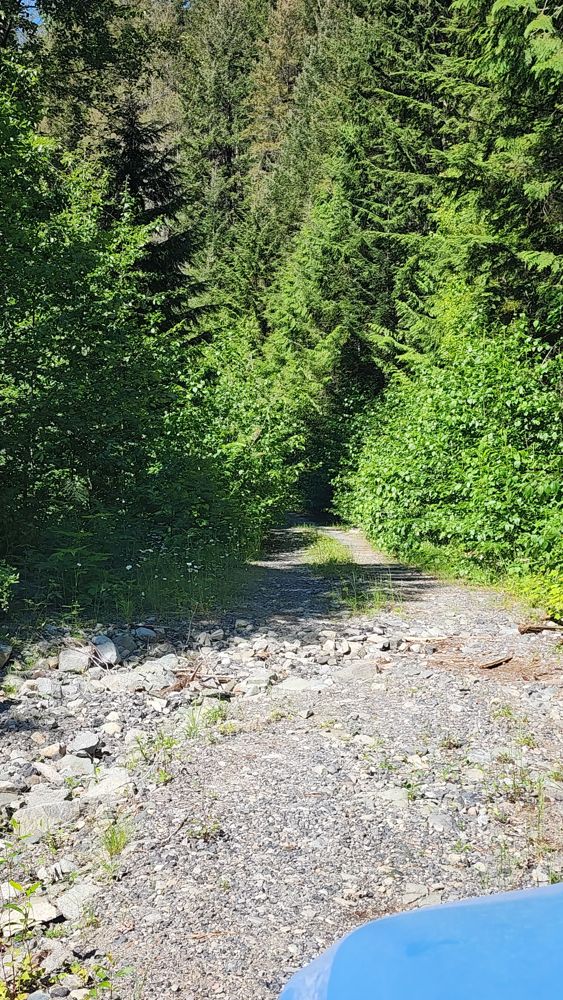
S-422 Branch
10h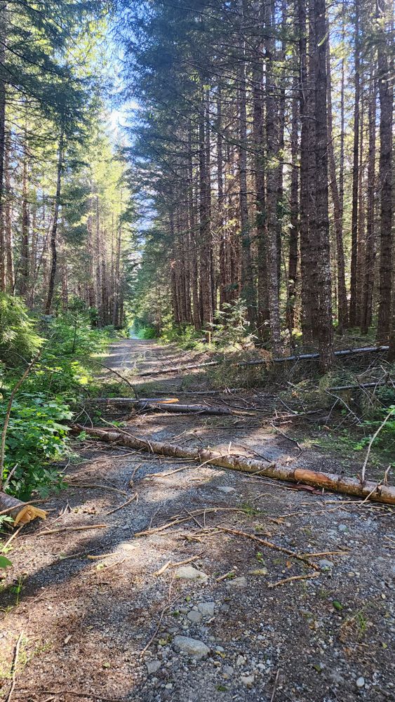
Blowdown at start. Not sure if you want to try and drive over with HC.
Also, just before that, there's a medium sized tree hanging across road abov...
S-420 Branch
10hSteep and loose to S-422. Recommend AWD at least. Deadfall can be driven around.
Gavin - Jun 21, 2026S-400 Branch
10h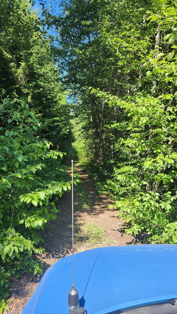
Good condition. Deadfall pretty much flattened. Road narrowed and started to get grown in after 2.5 km. Didn't bother proceeding, but is still drivabl...
Gavin - Jun 21, 2026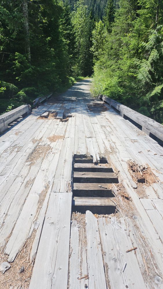
Elaho Main
11h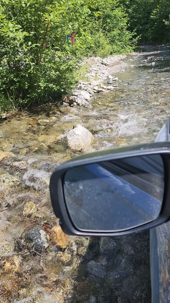
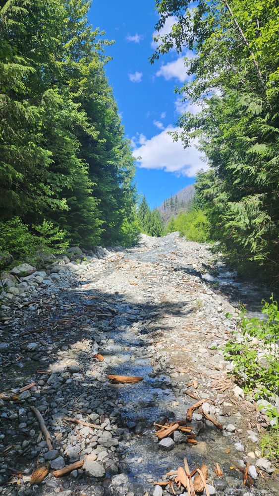
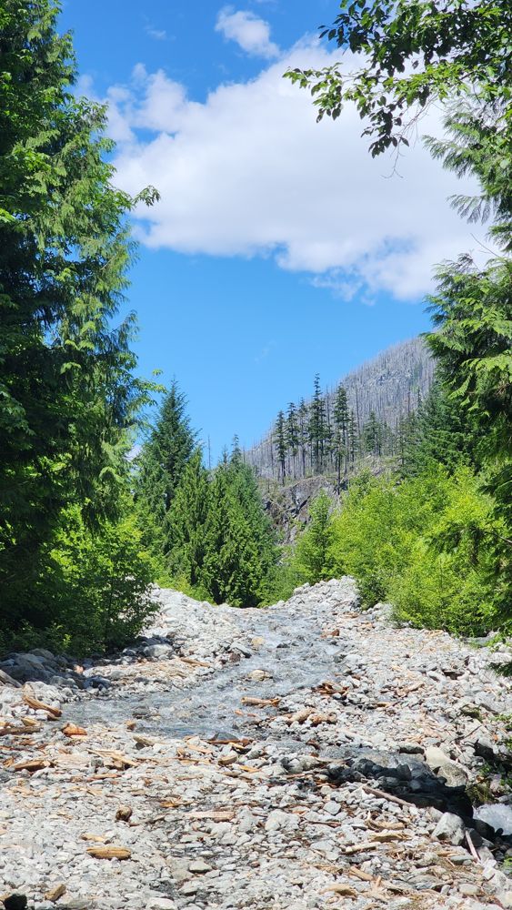
Bridge at start was in ok condition. Deck showing some signs of degradation, but still good.
Road was ok condition to 13.5 km washout where creek w...
All washouts repaired. Mud Creek blockade removed. As stated, they plan to dig out the Mud Creek culverts in Fall until next Spring. Good condition. G...
Gavin - Jun 21, 2026At about 9.5km there are fallen trees blocking the road, about less than a km further there is a very large tree across the road.
Paul Raymond - Jun 20, 2026NICKLE PLATE
14hLooks like it may have been graded some what recently. Mud/dirt seem like it was plowes not too long ago.
Stephen Bunyak - Jun 21, 2026Pitt River FSR
14h
Very well maintained, lots of trucks parked at the dock and driving down the road. Many potholes but no washouts.
Andrea Tate - Jun 21, 2026Stave River FSR
14hSame as before! Didn’t drive any further but it’s good to the bridge at 32.5km
Francis Bailey - Jun 21, 2026Road Updates
Squamish River Upper FSR
New ![]() has been reported at 50.128, -123.395
has been reported at 50.128, -123.395
S-422 Branch
New ![]() has been reported at 50.198, -123.383
has been reported at 50.198, -123.383
Squamish River Upper FSR
Road conditions have been updated to:
E-10
![]() has been verified at 50.112, -123.396
has been verified at 50.112, -123.396
G-Main
![]() has been verified at 50.139, -123.489
has been verified at 50.139, -123.489
Elaho Main
Road conditions have been updated to:
Elaho Main
![]() has been verified at 50.116, -123.431
has been verified at 50.116, -123.431
Elaho Main
![]() has been verified at 50.113, -123.386
has been verified at 50.113, -123.386
Bucklin Creek FSR
New ![]() has been reported at 49.696, -122.708
has been reported at 49.696, -122.708
Free to Use and Community Driven
Get up-to-date information about back country roads all over British Columbia, Alberta and the Yukon. Created by the community, for the community.
Detailed Reports
View road conditions broken down kilometer by kilometer and find the latest status on gates, bridges and washouts. Explore user submitted road reports and contribute your own with an easy-to-use road report system!
Explore the over 260,000 roads on the map and keep the community strong by sharing what you find on your adventures.


Toma Main
New ![]() has been reported at 49.514, -125.126
has been reported at 49.514, -125.126

Map Layers
Find cut block data, wildlife closure zones, recent satellite imagery and a host of base maps to make your planning a breeze.
Offline Road Data
Take service road information offline with your favourite mapping application. The Service Road Atlas supports road downloads and offline use in apps like Gaia, OSMAnd, Caltopo and more.


