2026 Service Road Atlas Survey
Want to request a new feature or change to the site? Help shape the future of this site by filling out this two question survey.
Recent Bulletins
All washouts repaired. Mud Creek blockade removed. As stated, they plan to dig out the Mud Creek culverts in Fall until next Spring. Good condition. G...
Gavin - Jun 21, 2026At about 9.5km there are fallen trees blocking the road, about less than a km further there is a very large tree across the road.
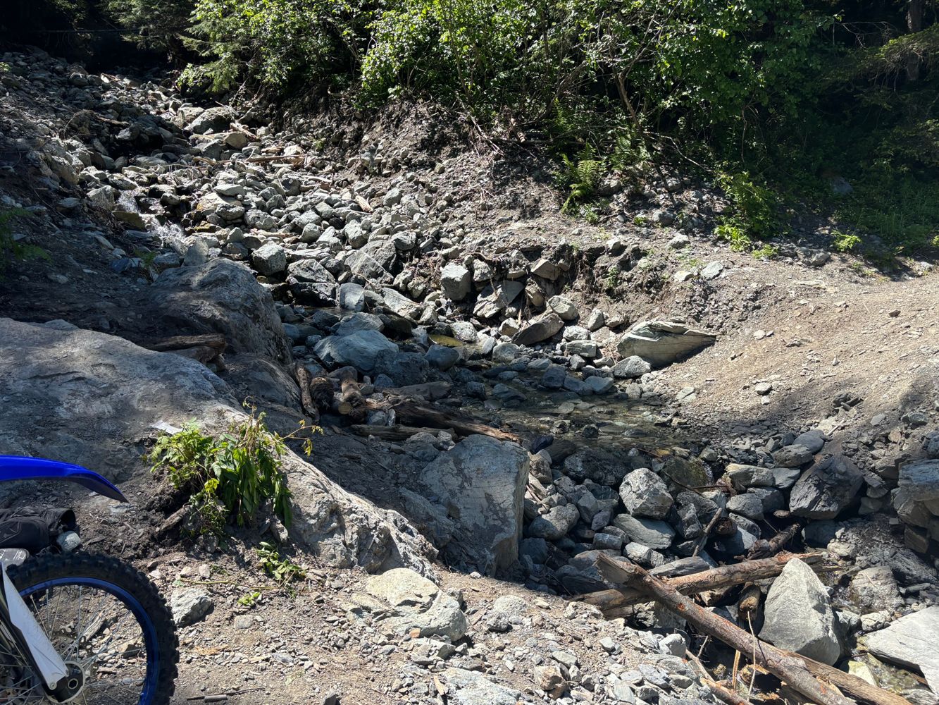
Paul Raymond - Jun 20, 2026NICKLE PLATE
2hLooks like it may have been graded some what recently. Mud/dirt seem like it was plowes not too long ago.
Stephen Bunyak - Jun 21, 2026
Very well maintained, lots of trucks parked at the dock and driving down the road. Many potholes but no washouts.
Andrea Tate - Jun 21, 2026Same as before! Didn’t drive any further but it’s good to the bridge at 32.5km
Francis Bailey - Jun 21, 2026
Still in decent shape for an AWD vehicle. It gets rougher around km 4 (after you pass the yellow gate) with ruts and oil pan killing rocks but still d...
Aaron Herman - Jun 21, 2026FL1500
14h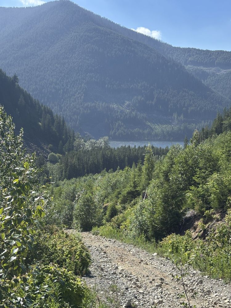
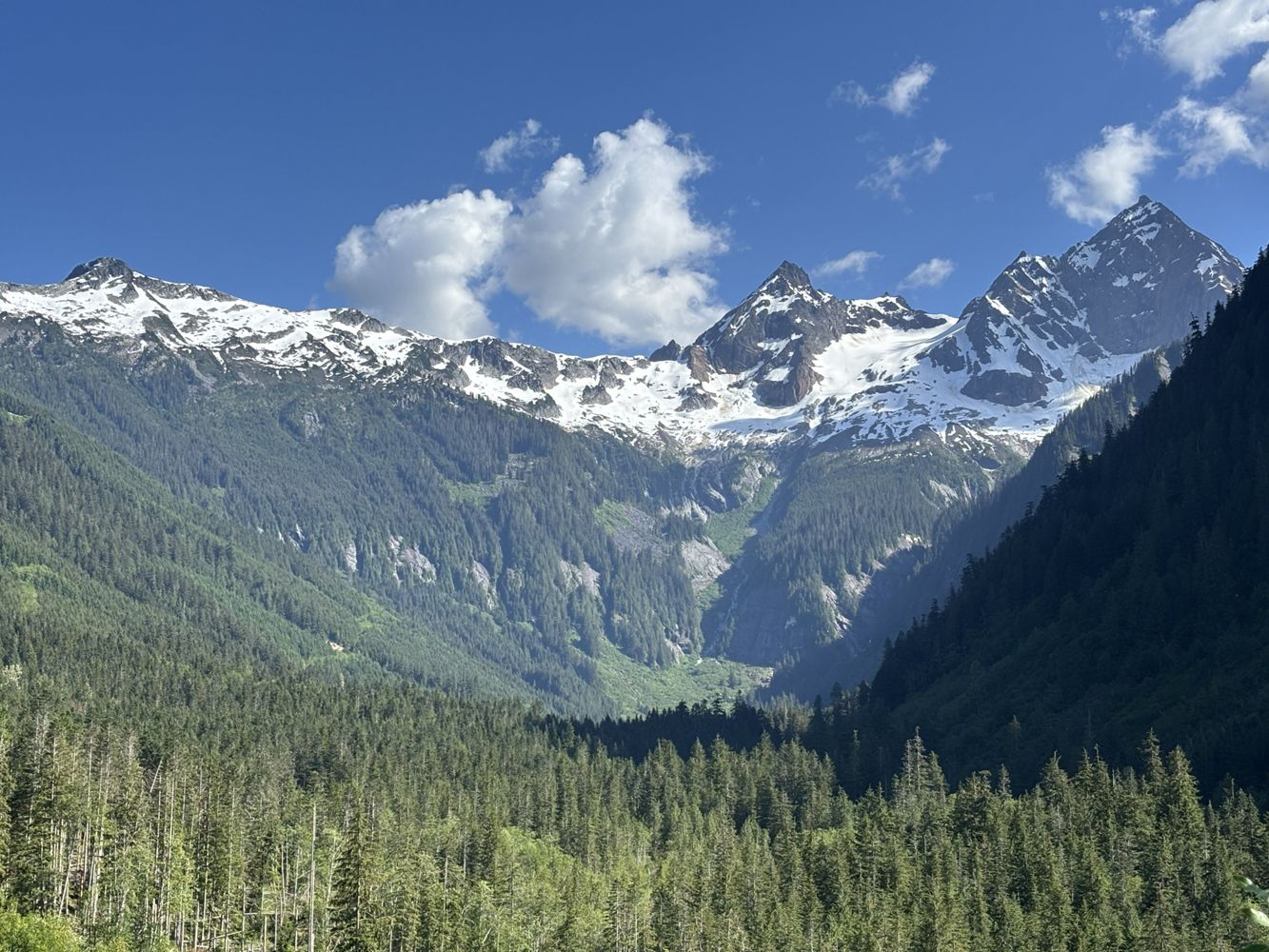
Road is degraded with loose rocks and some water bars. It is moderately steep. 4WD recommended. However, the views are amazing!
Steve Parkinson - Jun 20, 2026LAKEMAIN
1dA few deep water bars at around 1km from small washouts. I turned back at the last one because I didn’t have recovery gear with me. High clearance rec...
Steve Parkinson - Jun 20, 2026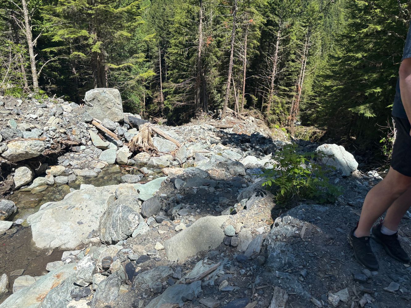
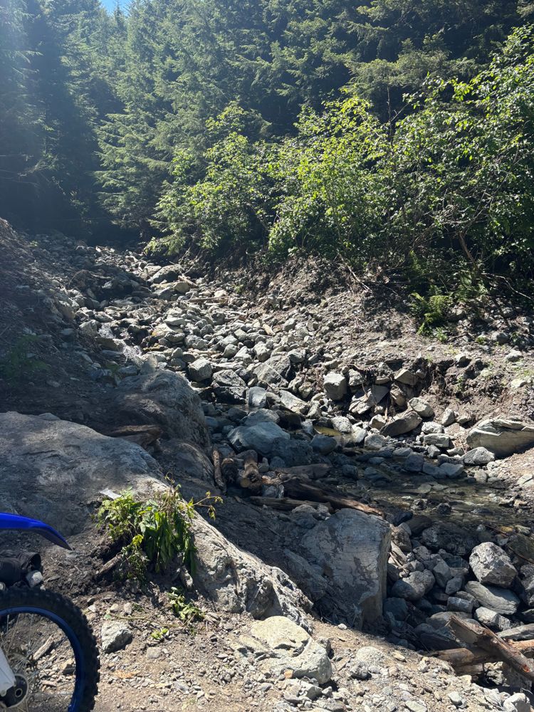
Large washout with very tricky bypass requiring short wheelbase and big tires/lift
Steve Parkinson - Jun 14, 2026Road Updates
Elaho Main
![]() has been verified at 50.113, -123.386
has been verified at 50.113, -123.386
Bucklin Creek FSR
New ![]() has been reported at 49.696, -122.708
has been reported at 49.696, -122.708
FL1000
Road conditions have been updated to:
GROUNDBIRCH
New ![]() has been reported at 55.646, -120.979
has been reported at 55.646, -120.979
FISHER CREEK
Road conditions have been updated to:
FISHER CREEK
New ![]() has been reported at 55.623, -122.35
has been reported at 55.623, -122.35
FISHER CREEK
New ![]() has been reported at 55.634, -122.359
has been reported at 55.634, -122.359
FISHER CREEK
New ![]() has been reported at 55.644, -122.36
has been reported at 55.644, -122.36
FISHER CREEK
New ![]() has been reported at 55.653, -122.369
has been reported at 55.653, -122.369
FISHER CREEK
New ![]() has been reported at 55.664, -122.383
has been reported at 55.664, -122.383
FISHER CREEK
New ![]() has been reported at 55.669, -122.386
has been reported at 55.669, -122.386
FISHER CREEK
New ![]() has been reported at 55.674, -122.392
has been reported at 55.674, -122.392
GROUNDBIRCH
Road conditions have been updated to:
Free to Use and Community Driven
Get up-to-date information about back country roads all over British Columbia, Alberta and the Yukon. Created by the community, for the community.
Detailed Reports
View road conditions broken down kilometer by kilometer and find the latest status on gates, bridges and washouts. Explore user submitted road reports and contribute your own with an easy-to-use road report system!
Explore the over 260,000 roads on the map and keep the community strong by sharing what you find on your adventures.


Toma Main
New ![]() has been reported at 49.514, -125.126
has been reported at 49.514, -125.126

Map Layers
Find cut block data, wildlife closure zones, recent satellite imagery and a host of base maps to make your planning a breeze.
Offline Road Data
Take service road information offline with your favourite mapping application. The Service Road Atlas supports road downloads and offline use in apps like Gaia, OSMAnd, Caltopo and more.


