2026 Service Road Atlas Survey
Want to request a new feature or change to the site? Help shape the future of this site by filling out this two question survey.
Recent Bulletins
Road is cleared and back to it's existing condition. No problem driving over the pass to Seton lake
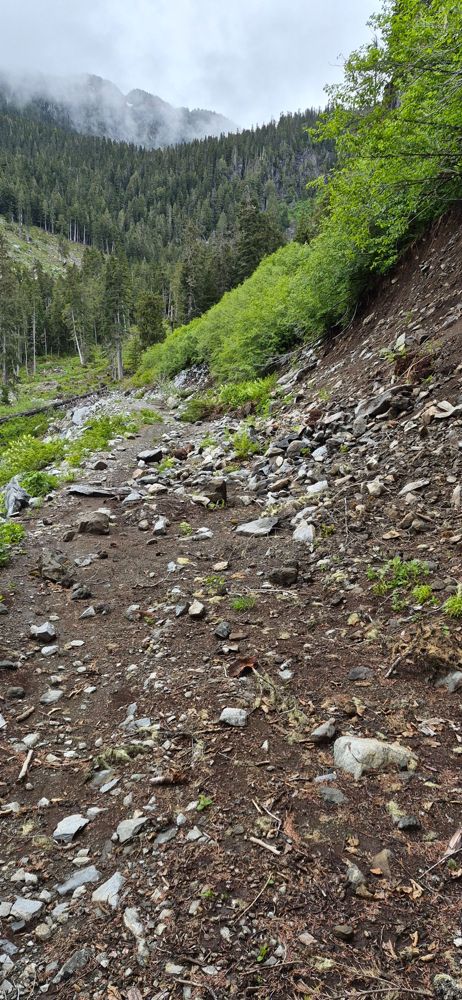
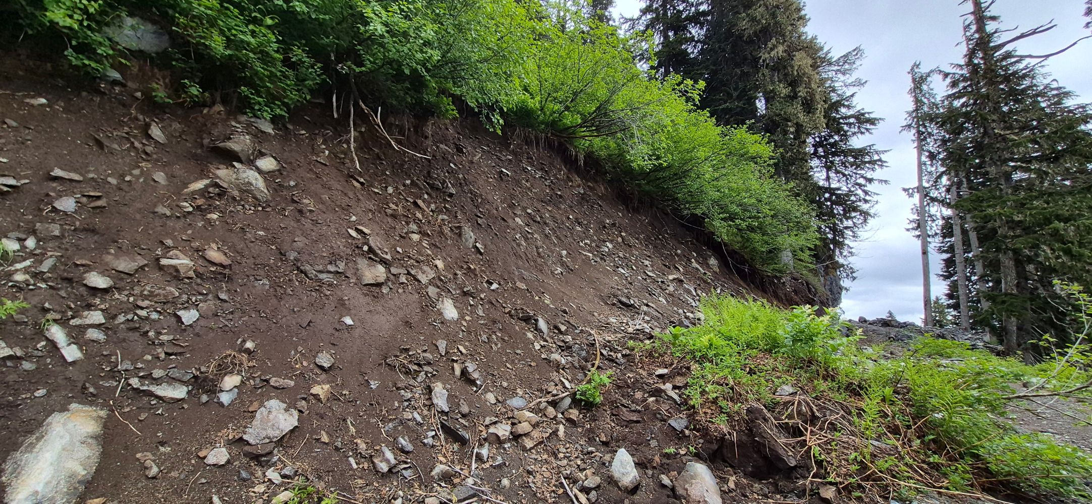
Ben Eby - May 31, 2026A few waterbars, not that deep and pretty rounded off. A short rocky slide area and a bit of alder near the top. No problem in a stock Tacoma
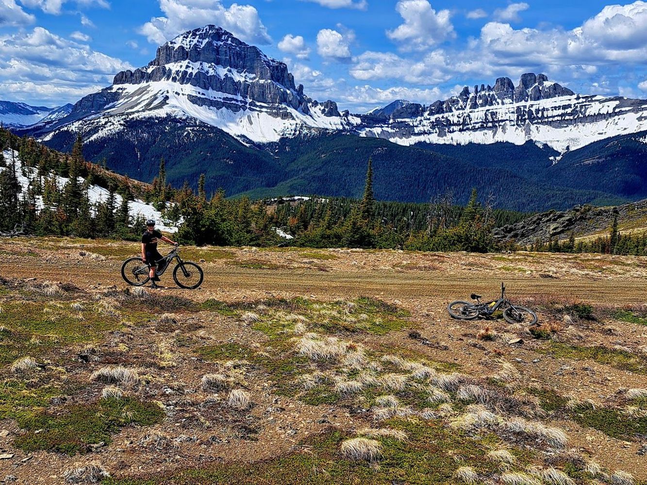
Ben Eby - Jun 11, 2026JORDAN - KIRKUP
16hThere is active logging right around the 5km mark with heavy machinery on the road. The crews weren't there when I drove up today so could still get p...
Paul Lezica - Jun 12, 2026CRAZY EAGLE PASS
16h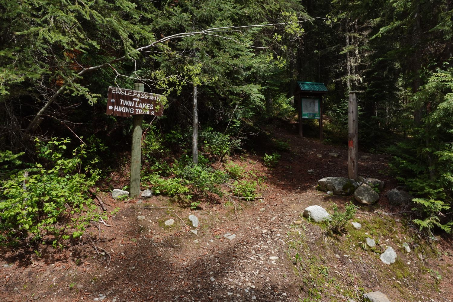
Still decent shape up to the trailhead parking lot, but did have to chainsaw one tree out of the way.
Paul Lezica - Jun 12, 2026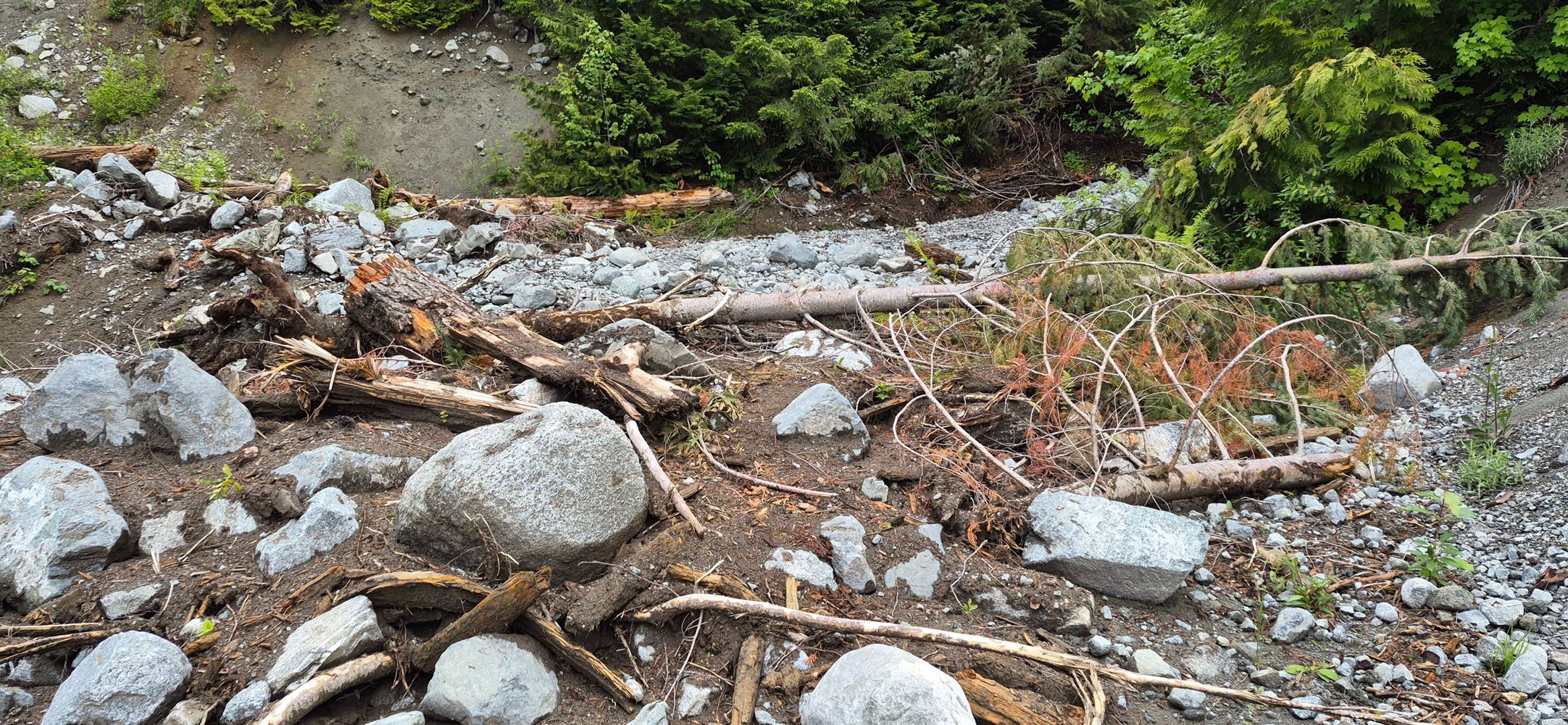
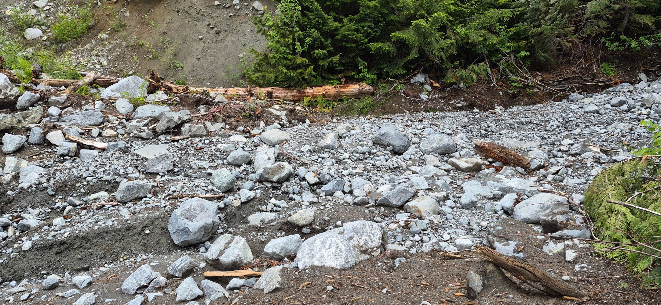
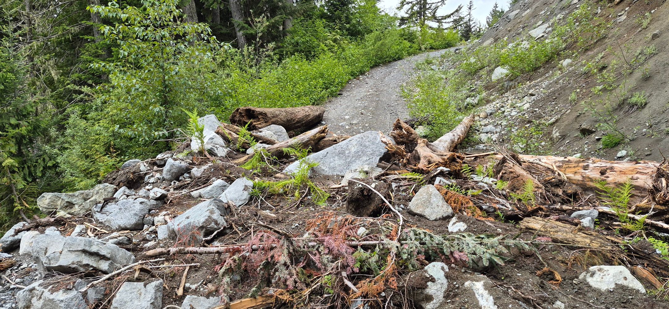

The road is washed out at about 3.8 km. 49.99571, -123.29057 . A lot of it is clearable by hand but a large truck with a winch would be needed to move...
Mike Barrass - Jun 12, 2026


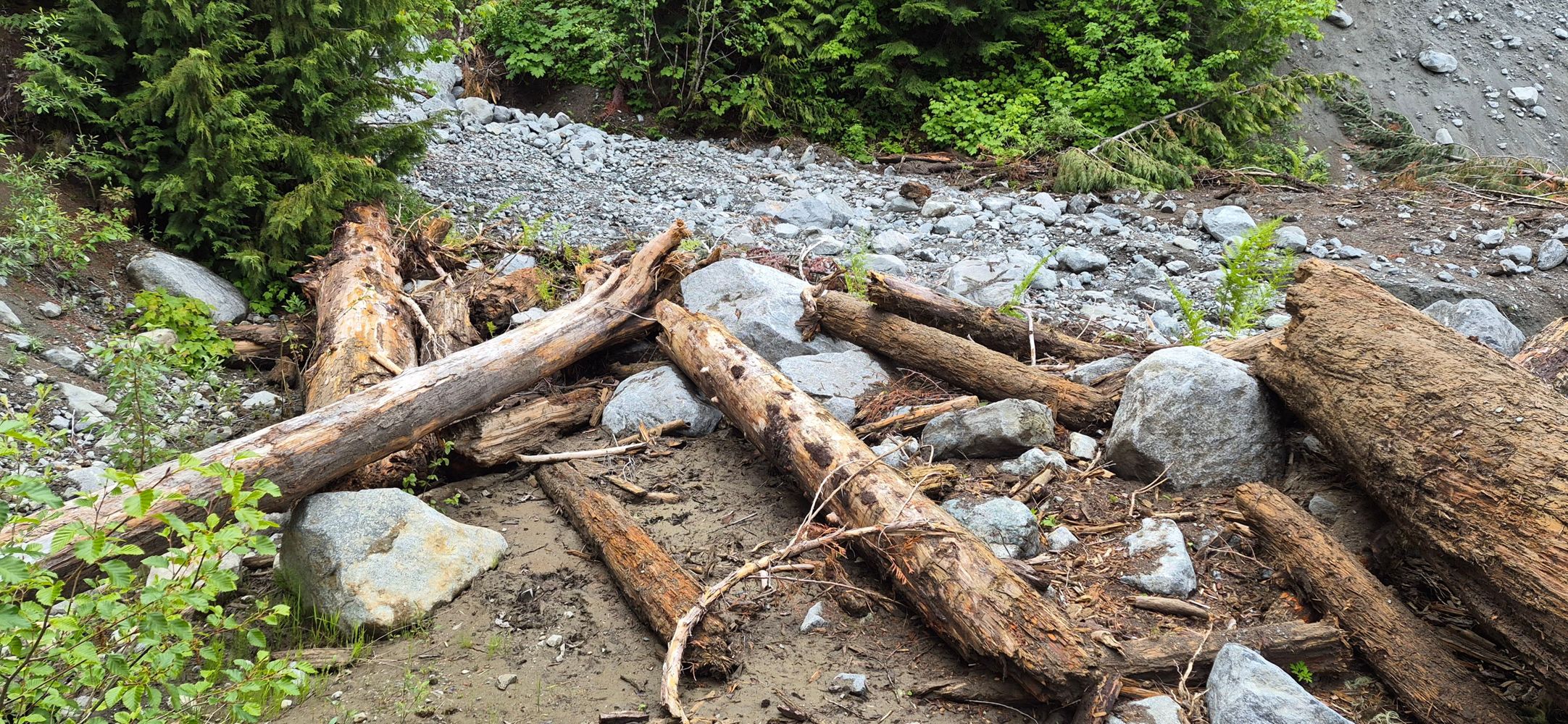


The road is washed out at about 3.8 km. 49.99571, -123.29057 . A lot of it is clearable by hand but a large truck with a winch would be needed to move...
Mike Barrass - Jun 12, 2026
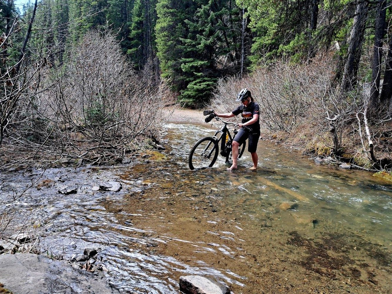
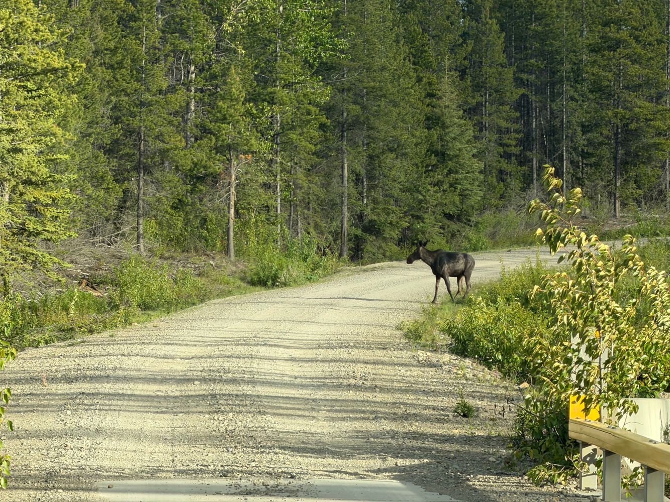
Road is gated at its start with HWY 3. We biked it to the Ma Butte Telecom Tower. Pushed bikes though Nez Perce Creek at ~7 km. Expect OHV traffic fro...
Greg Jones - Jun 12, 2026LC112
1d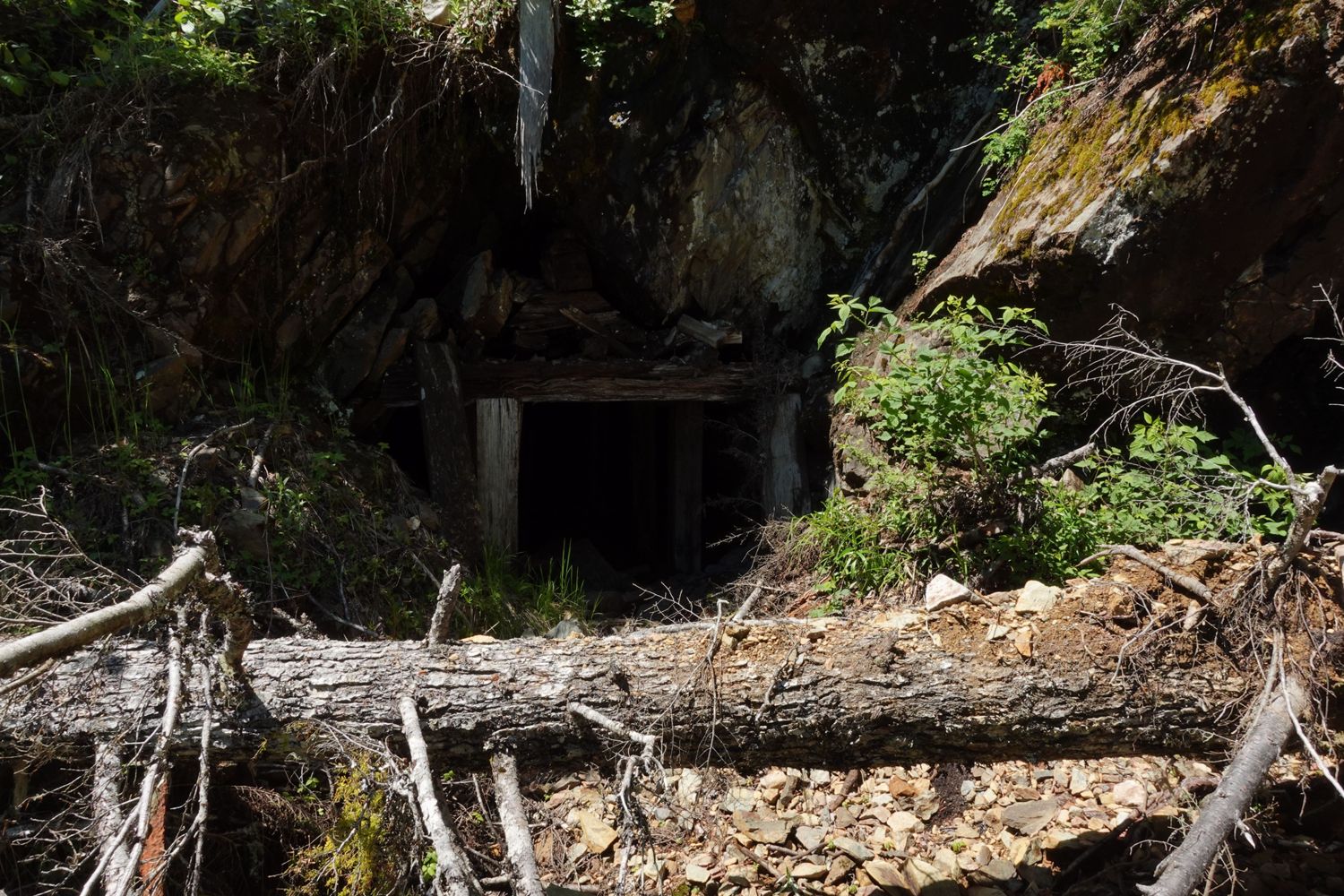
For anyone looking for the old Emancipation mine along this route, it's located just before the 1.5km mark.
Paul Lezica - Jun 11, 2026HW1872
2d
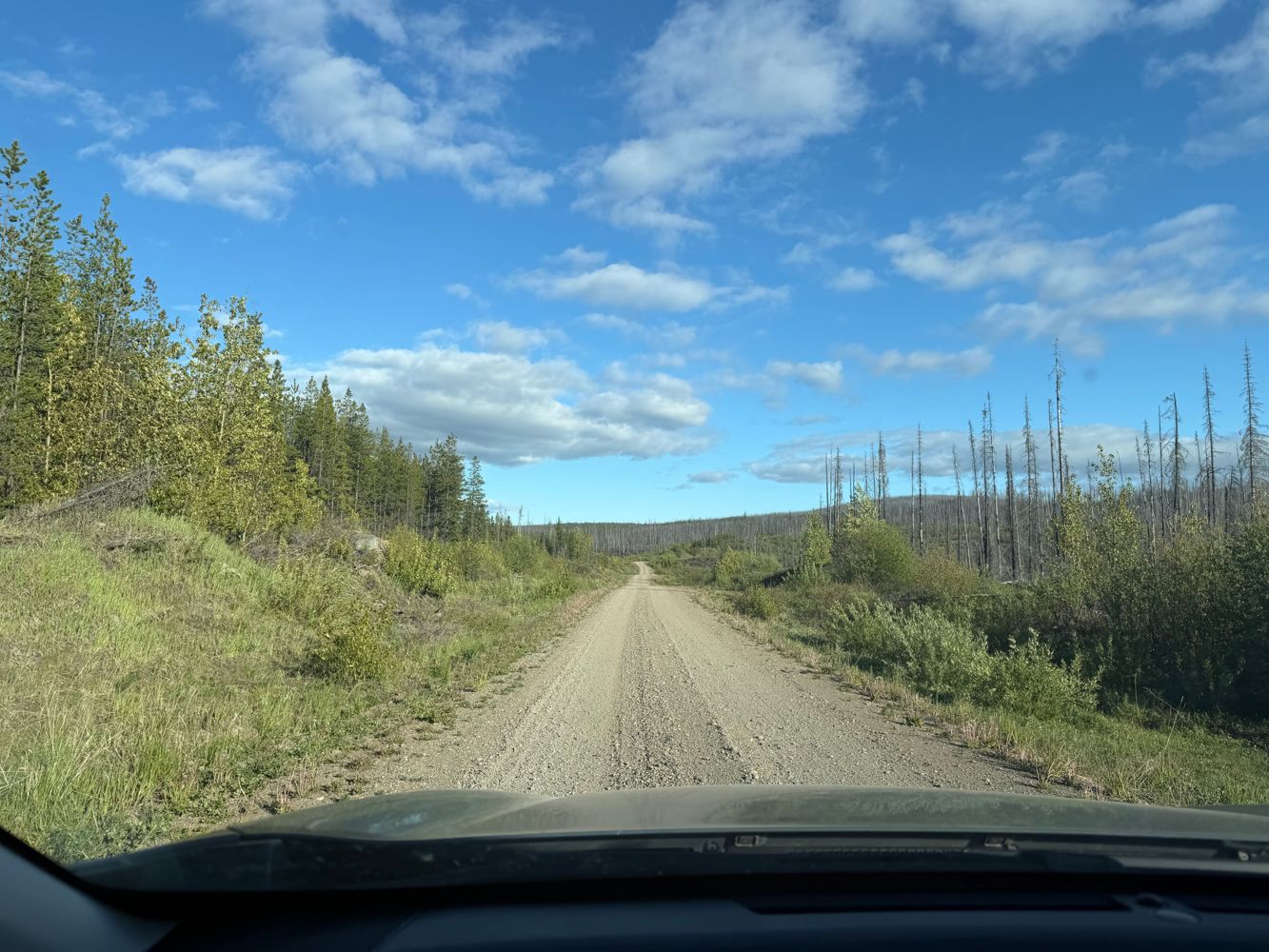
We didn't get very far due to so many fallen trees across the road. Road bed was in good condition up to this point, but overgrown.
Francis Bailey - Jun 10, 2026Ootsa Lake 2
2d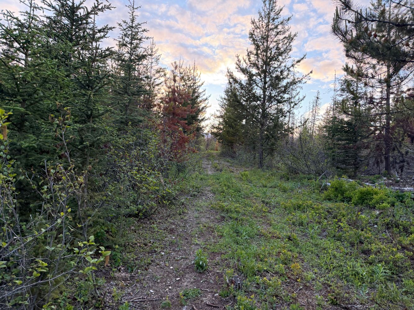
Easy driving all the way to the end. There were some signs about a washout at the end of the road but we only found some recently repaired culverts. R...
Francis Bailey - Jun 10, 2026
Road Updates
Seton-Retask Road
![]() has been removed at 50.631, -122.099
has been removed at 50.631, -122.099
JORDAN - KIRKUP
New ![]() has been reported at 51.036, -118.331
has been reported at 51.036, -118.331
Nez Perce Creek Road
New ![]() has been reported at 49.693, -114.509
has been reported at 49.693, -114.509
Nez Perce Creek Road
New ![]() has been reported at 49.637, -114.514
has been reported at 49.637, -114.514
Nez Perce Creek RoadNew
Road added in the Alberta Resource District region
HW1872
Road conditions have been updated to:
HW1872
New ![]() has been reported at 53.854, -126.557
has been reported at 53.854, -126.557
ANDREWS BAY FSR
Road conditions have been updated to:
Levette Lake FSR
New ![]() has been reported at 49.825, -123.181
has been reported at 49.825, -123.181
Levette Lake FSR
New ![]() has been reported at 49.815, -123.169
has been reported at 49.815, -123.169
CALLAGHAN
![]() has been verified at 50.07, -123.097
has been verified at 50.07, -123.097
Free to Use and Community Driven
Get up-to-date information about back country roads all over British Columbia, Alberta and the Yukon. Created by the community, for the community.
Detailed Reports
View road conditions broken down kilometer by kilometer and find the latest status on gates, bridges and washouts. Explore user submitted road reports and contribute your own with an easy-to-use road report system!
Explore the over 260,000 roads on the map and keep the community strong by sharing what you find on your adventures.


Toma Main
New ![]() has been reported at 49.514, -125.126
has been reported at 49.514, -125.126

Map Layers
Find cut block data, wildlife closure zones, recent satellite imagery and a host of base maps to make your planning a breeze.
Offline Road Data
Take service road information offline with your favourite mapping application. The Service Road Atlas supports road downloads and offline use in apps like Gaia, OSMAnd, Caltopo and more.


