Recent Bulletins
The first kilometre is in excellent condition. From 1 km to 3.5 km the road bed is smooth and ditch free, but expect heavy pin-striping from seriously...
Marc Bourdon - Sep 19, 2026HC1CA
17h

Entrance to Sunrise Lake trail is gravel with some rocks. The trail gets heavily degraded after only 100m.
Steve Parkinson - Sep 18, 2026Sunrise Lake
17h


The road is mostly boulders with some very large ones around 250m from the main FSR. I was solo, so didn’t try to navigate them.
Steve Parkinson - Sep 18, 2026
Same as previous report. Added picture showing the view of the washout looking back towards the parking area.
Jesse Listoen - Sep 13, 2026HOMESITE CREEK
20hGood conditions up to the 1.7km mark at the Homesite Creek Falls Campground.
Radio channel is RR-28. We did encounter some industrial traffic comin...
Chehalis FSR
22hGood condition the whole way. Gets slightly rough with potholes and washboard past the mine. Pretty easy driving and gate was open at the end. Beware ...
Claire Demers - Sep 18, 2026SQ_RF1000
1dSome sharp rocks and large corrugations have formed. Decent waterbar at the start of the 4km right branch. Passable in stock 4x4 truck with strategic ...
Sam Watson - Sep 17, 2026Airplane Creek is possibly the roughest FSR I’ve ever driven. Nobody should consider this in an SUV. If you attempt it, stop at the massive cross ditc...
Andrew Knapman - Sep 16, 2026Only drove Foley to the Airplane Creek turnoff, but condition is pretty good and suitable for all vehicles to that point. There's some potholes, but n...
Andrew Knapman - Sep 16, 2026SQ_GR1000
4dA large boulder (think it was not there last year) stuck right beside the creek crossing at ~0.7km and that creek crossing is rough for crossovers. If...
William Shi - Sep 13, 2026
A little overgrown but no water bars and the road bed is in great shape. We only drove the first km or so but then walked back from 7km on foot
Francis Bailey - Sep 13, 2026K Road
5d


This road is used for the Marion Lake trail and is well kept and only steep on a couple of short sections. It has some of the best views in the park a...
Kasen Wilks - Mar 14, 2026E Road
5dThe section I've walked is as well maintained as any of the other roads near the resort and gate
Kasen Wilks - Dec 09, 2025F Road
5d

F Road seems to be the most active road in the research forest so keep that in mind when coming through. The only way you can get into this forest wit...
Kasen Wilks - Mar 14, 20262WD Low clearance friendly. Just a rougher patch around km11 iirc, and potholed sections here and there
Paul Ramu - Sep 14, 2026Road Updates
NORTH JOFFRE MAIN
Road conditions have been updated to:
20 Mile Bay FSR
 has been changed to
  at 49.495, -121.878
Airplane Creek FSR
Road conditions have been updated to:
Squamish River Branch 250
 has been removed at 49.963, -123.259
Brucejack Access RoadNew
Road added in the Skeena Stikine Natural Resource District region
Hale Creek Hard TrailNew
Road added in the Chilliwack Natural Resource District region
SQ_GR1000
Road conditions have been updated to:
Siwash Creek RoadNew
Road added in the Chilliwack Natural Resource District region
D121New
Road added in the Prince George Natural Resource District region
D120New
Road added in the Prince George Natural Resource District region
Dave Henry West MLNew
Road added in the Prince George Natural Resource District region
NAVER-STONY FSR
Road conditions have been updated to:
NAVER-STONY FSR
Road conditions have been updated to:
Upper Flathead FSR
Road conditions have been updated to:
Shell Ridge Road
Notice titled "Wildlife Act - Motor Vehicle Prohibition" has been added
Free to Use and Community Driven
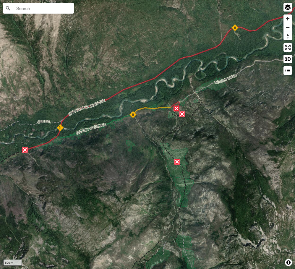
Get up-to-date information about back country roads all over British Columbia, Alberta and the Yukon. Created by the community, for the community.
Detailed Reports
View road conditions broken down kilometer by kilometer and find the latest status on gates, bridges and washouts. Explore user submitted road reports and contribute your own with an easy-to-use road report system!
Explore the over 260,000 roads on the map and keep the community strong by sharing what you find on your adventures.
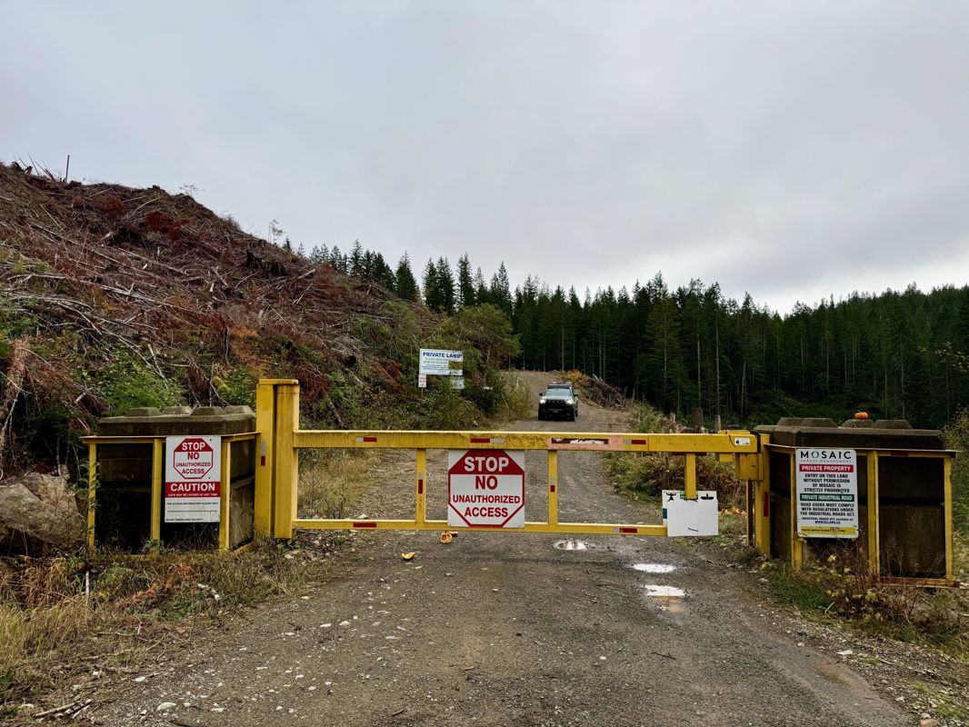
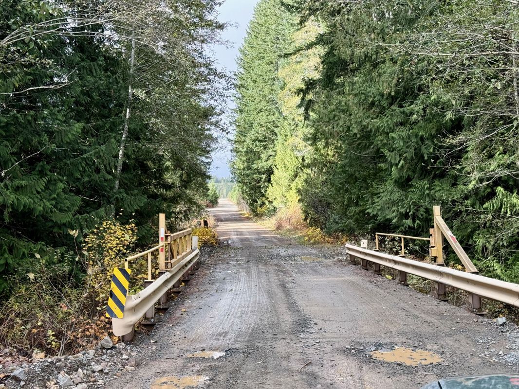
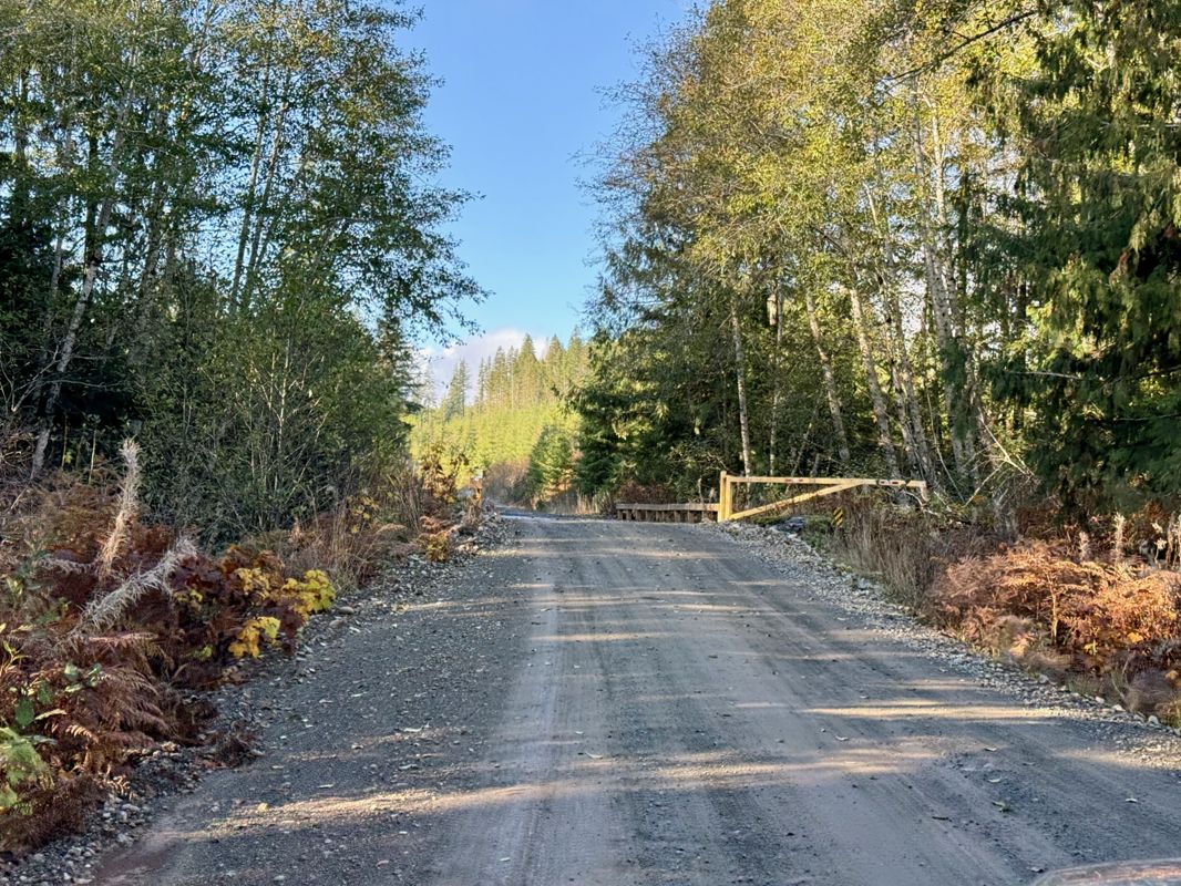
Toma Main
New has been reported at 49.514, -125.126

Map Layers
Find cut block data, wildlife closure zones, recent satellite imagery and a host of base maps to make your planning a breeze.
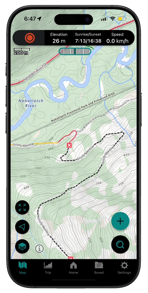
Offline Road Data
Take service road information offline with your favourite mapping application. The Service Road Atlas supports road downloads and offline use in apps like Gaia, OSMAnd, Caltopo and more.