Recent Bulletins
Passable with a KIA soul with 6.7 inch clearance with no issues - we turned into the spur at 6 kms to get to Pushki Lake, and parked just before the '...
Vanessa Gamble - Oct 11, 2026

Reported earlier fallen tree has been cleared.
Road is getting more ruts but still drivable (with enough clearance) till the huge ditch, followed by ...
Only drove to Salal Creek S 25.
Good conditions, road repairs seemed to be complete.
The road was open, we cross from Shovel Creek (Full of alders) to Kookip Pass. It looks like they just finish the constructions, so it was possible to...
Alejandro Rozalen - Oct 12, 2026
Good condition, drivable with 2wd with some clearance. After that, bridge is gone over this creek, no motorized access beyond this point.
Stephan Bernhard - Oct 12, 2026Kelly Creek FSR
18h


I’m on the fence about calling this heavily degraded as there’s one creek crossing which is on the cusp. It may be doable in a cross trek type vehicle...
Francis Bailey - Oct 12, 2026Bridge River FSR
20h

Same conditions as before and thankfully the landslide continues to hold. May not be the case for next spring. Light dusting of snow is sticking aroun...
Francis Bailey - Oct 12, 2026

The final stretch of road is so deactivated it's not even a road anymore. Hard even to walk on. Rest of the road is in fine condition.
Caro Coco - May 03, 2026

C-242
1dRoad condition remains pretty much as described before, but there is a steep hill around 790 m that's getting pretty churned up with some large, expos...
Marc Bourdon - Oct 12, 2026RM3
1dCleared more space around narrower point, still good pinstripe action throughout.
Geoff Doherty - Sep 26, 2026WRAY
1d

Continuation of Berkey 1900, condition similar until deep washout @ end of road. Cleared of windfall.
Geoff Doherty - Oct 11, 2026BERKEY 1900
1dSome deeper cross ditches, a couple rockier slopes. Work done recently on road.
Geoff Doherty - Oct 11, 2026Road Updates
Salal Creek S-25
Road conditions have been updated to:
Salal Creek S-25
Road conditions have been updated to:
Salal Creek S-25
 has been removed at 50.697, -123.471
Chehalis-Mystery FSR
Road conditions have been updated to:
Kelly Creek FSR
New
 has been reported at 49.105, -117.518
Wildwood Road
New
has been reported at 49.109, -117.512
Bridge River FSR
New
 has been reported at 50.859, -123.366
Bridge River FSR
New
has been reported at 50.851, -123.301
Bridge River FSR
New
has been reported at 50.845, -123.270
Bridge River FSR
New
has been reported at 50.815, -123.207
Bridge River FSR
New
has been reported at 50.826, -123.054
Bridge River FSR
New
has been reported at 50.814, -122.911
Bridge River FSR
Road conditions have been updated to:
Bridge River Mine RoadNew
Road added in the Cascades Natural Resource District region
RM3
Road conditions have been updated to:
WRAY
Road conditions have been updated to:
Chehalis-Mystery FSR
Road conditions have been updated to:
Free to Use and Community Driven
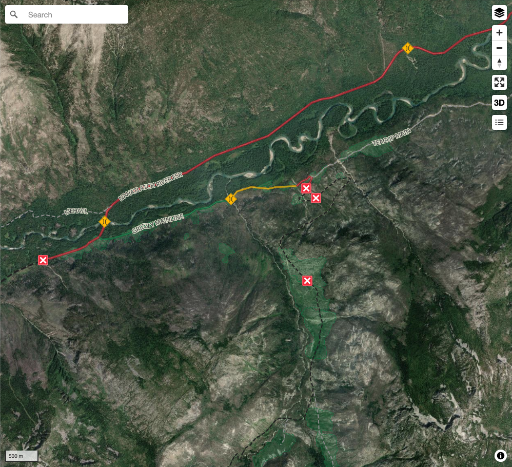
Get up-to-date information about back country roads all over British Columbia, Alberta and the Yukon. Created by the community, for the community.
Detailed Reports
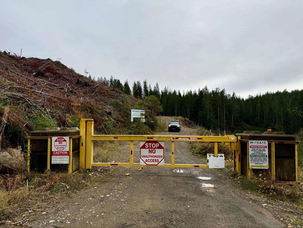
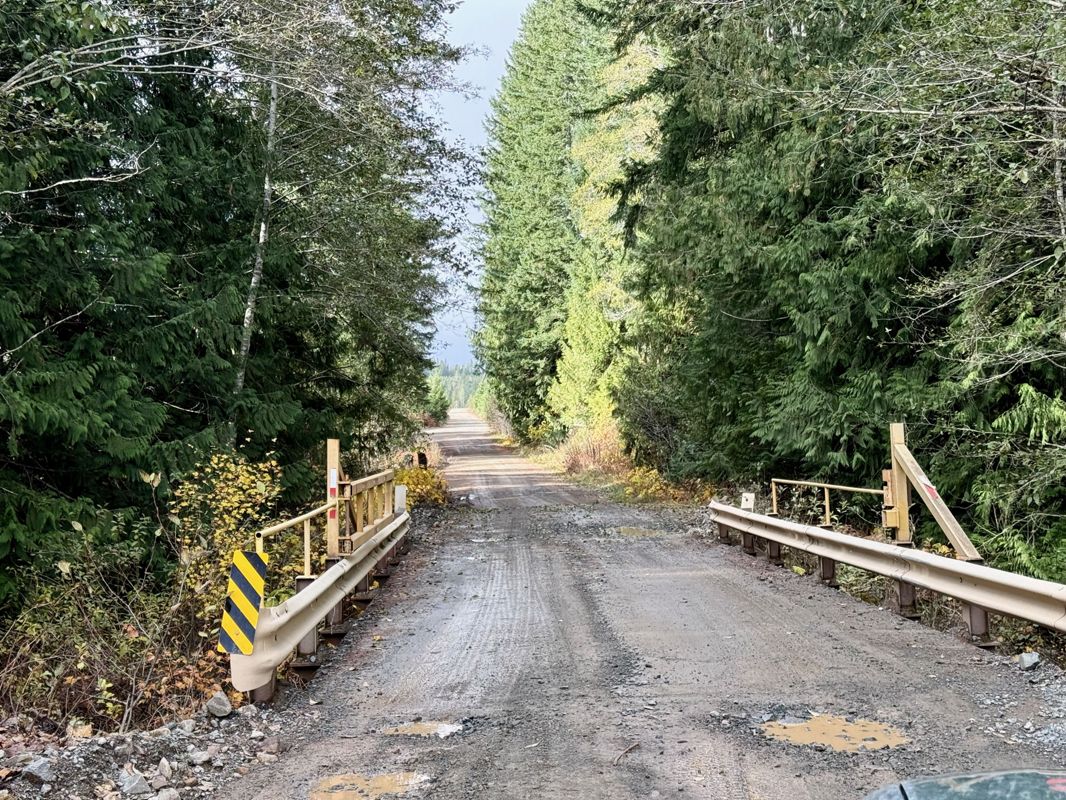
View road conditions broken down kilometer by kilometer and find the latest status on gates, bridges and washouts. Explore user submitted road reports and contribute your own with an easy-to-use road report system!
Explore the over 260,000 roads on the map and keep the community strong by sharing what you find on your adventures.
Toma Main
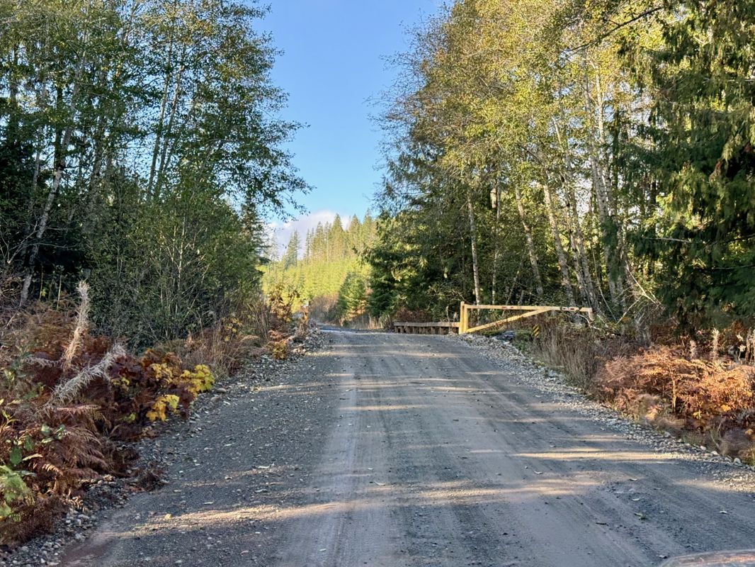
New has been reported at 49.514, -125.126
Map Layers

Find cut block data, wildlife closure zones, recent satellite imagery and a host of base maps to make your planning a breeze.
Offline Road Data
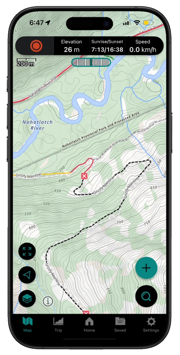
Take service road information offline with your favourite mapping application. The Service Road Atlas supports road downloads and offline use in apps like Gaia, OSMAnd, Caltopo and more.