Road Bulletins
MISTYMAIN
106dThe short section I drove it was in okay condition. Doesn’t appear to be frequently maintained but I was able to drive it in a low clearance car witho...
Heath Anderson - May 30, 2026Duncan Bay Mainline
106d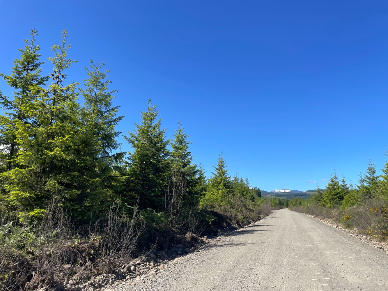
Road was in great condition for the short distance I drove. Gate across the river was open at the time, no signage stating open/close times/dates.
Heath Anderson - May 30, 2026Oyster River Main
106dRoad is in great condition and seems to be frequently graded at least for the short distance I drove. Gated at the start by Mosaic, open 8am-8pm.
Heath Anderson - May 30, 2026LEDGE POINT MAIN
106dRoad is in pretty good shape, just some sections with potholes and ruts which are easily avoidable or taken slowly. Nothing at all to worry about in a...
Heath Anderson - May 30, 2026Some nice person cleaned up all the trees across the road. I parked at 2.8 km due to increasing pinstriping.
Stu Morris - Jun 13, 2026Made it past the washout at ~7.5km in a crosstrek. It was close but in the end made it without any issues or scraping. Someone has also cleaned up all...
Stu Morris - Jun 13, 2026R07823-F
107d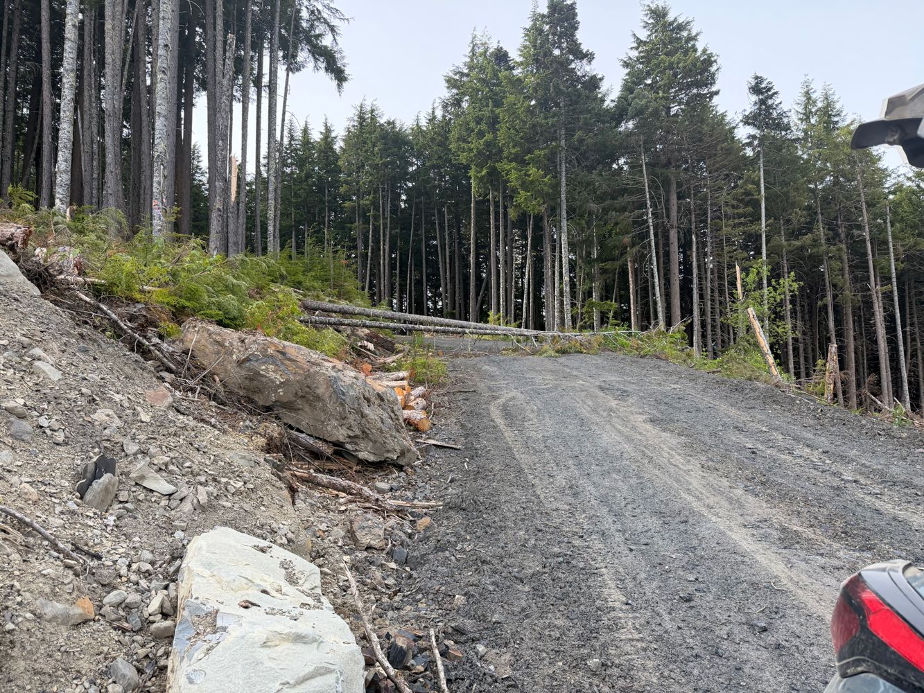
SOUTH KITEEN M/L A
107d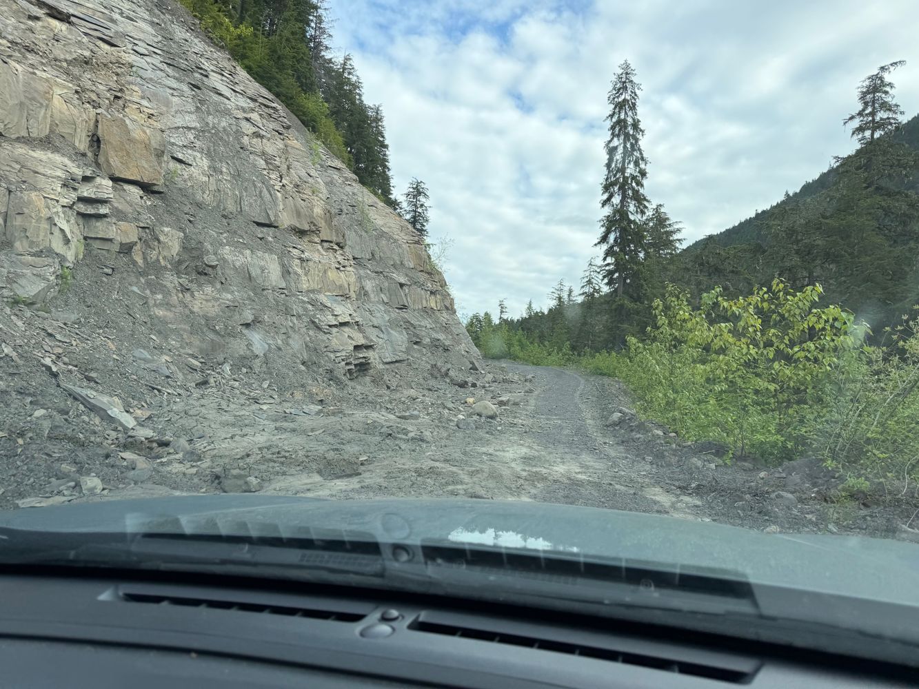
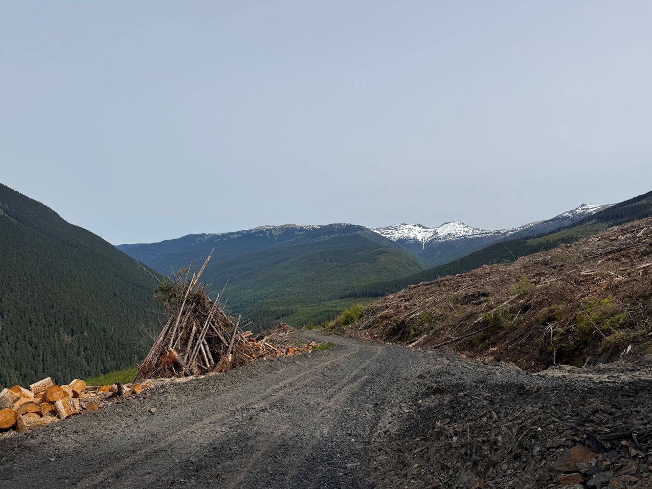
Nearly drivable to the very end but that last part after the new cut blocks at 29km was overgrown. 27-29km has a lot of rock fall, mud slides and fall...
Francis Bailey - Jun 13, 2026BIG CEDAR
107dYeah I'm on the edge of medium due to water bars but I'll keep it as is for now
Tareef Dedhar - Jun 13, 2026Somewhat deeper than avg water bars. Good crossover or better.
The 4x4 bypass for the bridge is real tho so *effectively* it's a 4x4 road now. 30"...
Cummings Creek FSR
107dBiked and hiked to 11.8km at the junction of Cummings Creek North FSR. The supports of the first quad bridge have been washed out and a makeshift sign...
Ryan Winter - Jun 13, 2026Bridge Road FSR
107dCulvert removal and road deactivation scheduled for July 2026 according to PGATV Social Facebook post (https://www.facebook.com/share/p/18Ny7VM8ix/)
Sven Freitag - Jun 13, 2026CP 768 AMEND 2
107d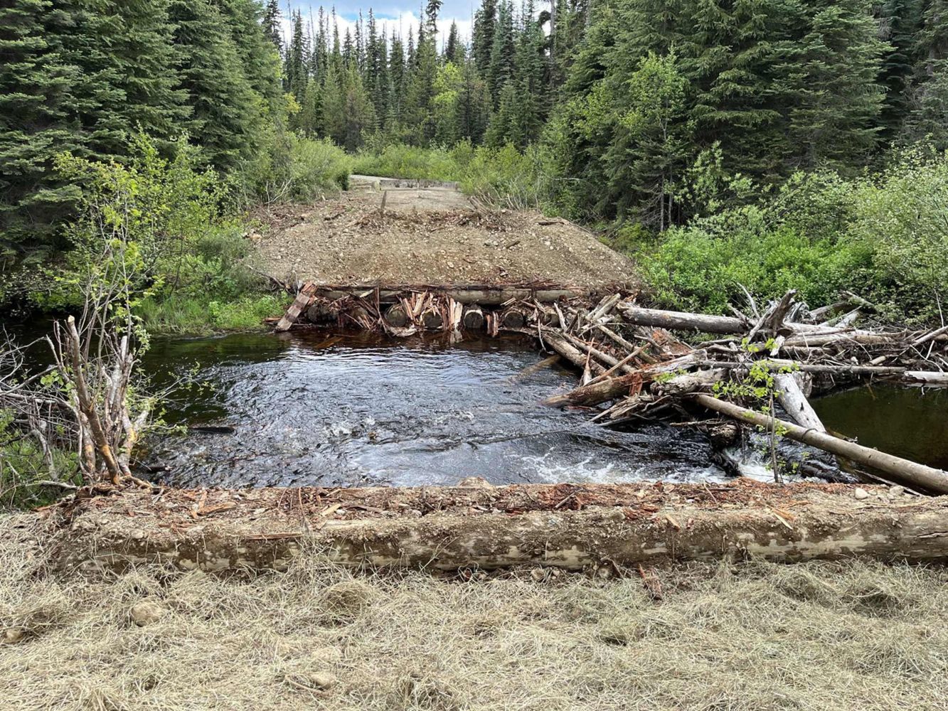
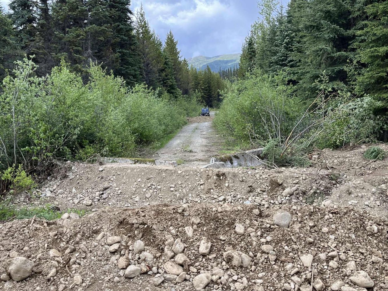
Bridges across Rond Creek and Stephanie Creek were removed according to PGATV Social Facebook post on June 13, 2026 (https://www.facebook.com/share/p/...
Sven Freitag - Jun 13, 2026Seton-Retask Road
107dRoad is cleared and back to it's existing condition. No problem driving over the pass to Seton lake
Ben Eby - May 31, 2026Enterprise Creek FSR
107dA few waterbars, not that deep and pretty rounded off. A short rocky slide area and a bit of alder near the top. No problem in a stock Tacoma
Ben Eby - Jun 11, 2026JORDAN - KIRKUP
108dThere is active logging right around the 5km mark with heavy machinery on the road. The crews weren't there when I drove up today so could still get p...
Paul Lezica - Jun 12, 2026CRAZY EAGLE PASS
108d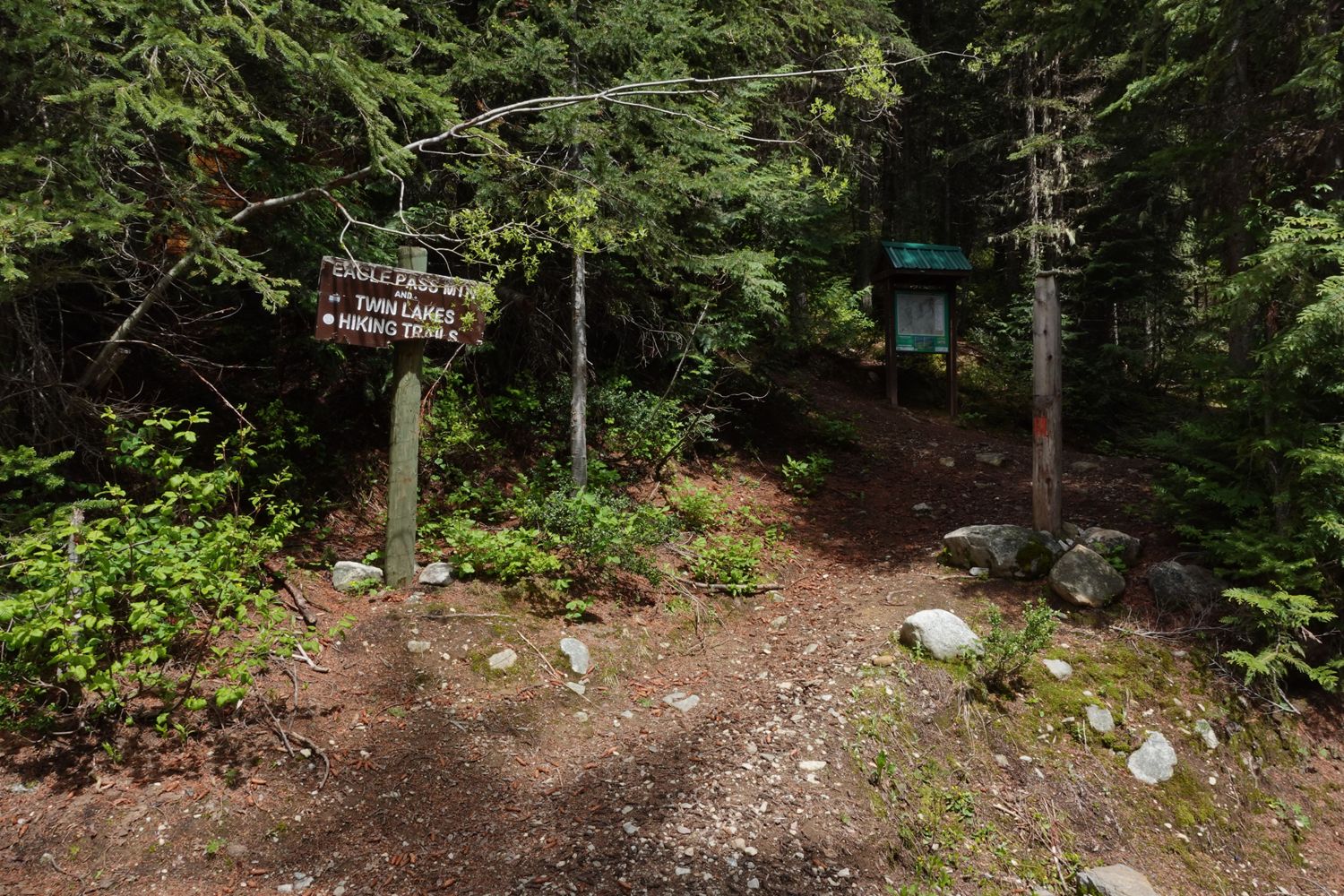
Still decent shape up to the trailhead parking lot, but did have to chainsaw one tree out of the way.
Paul Lezica - Jun 12, 2026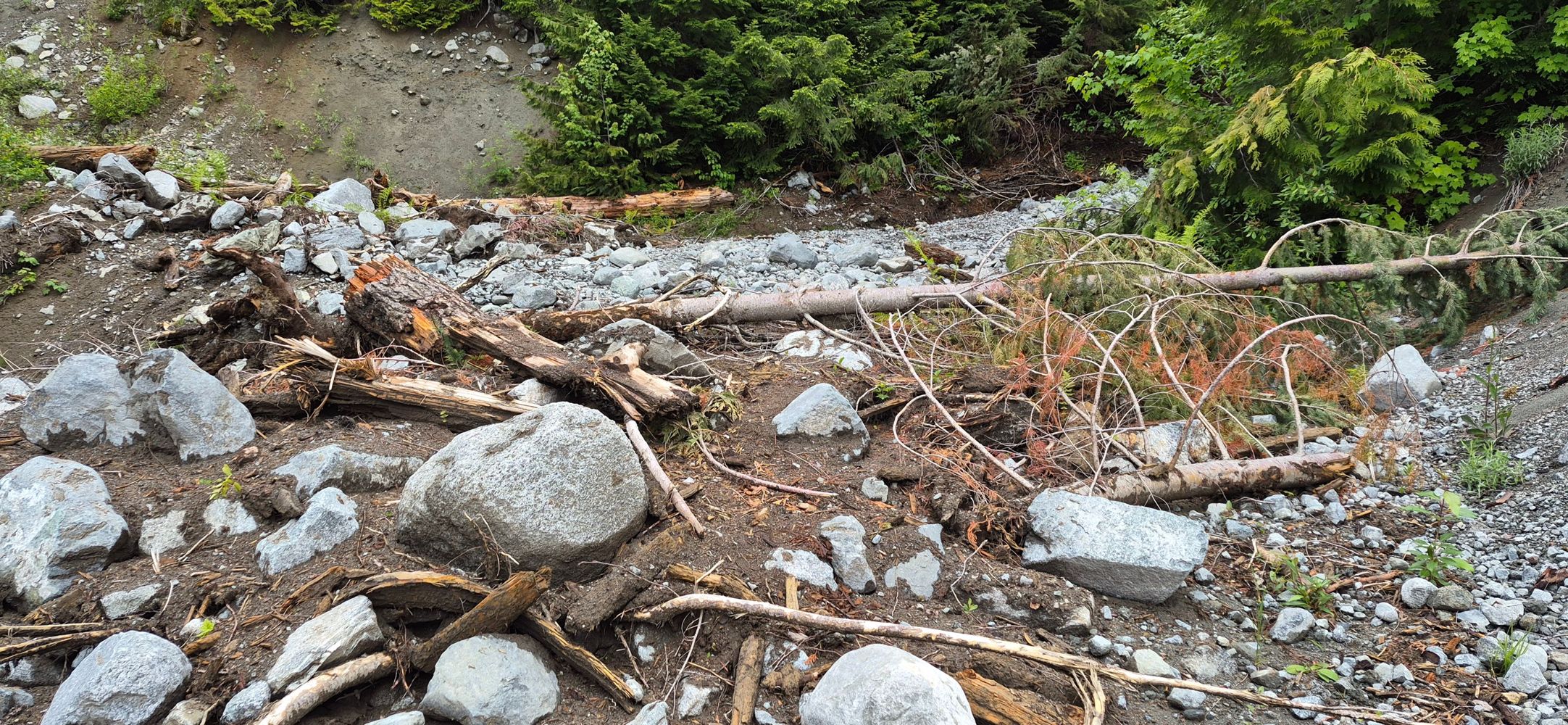
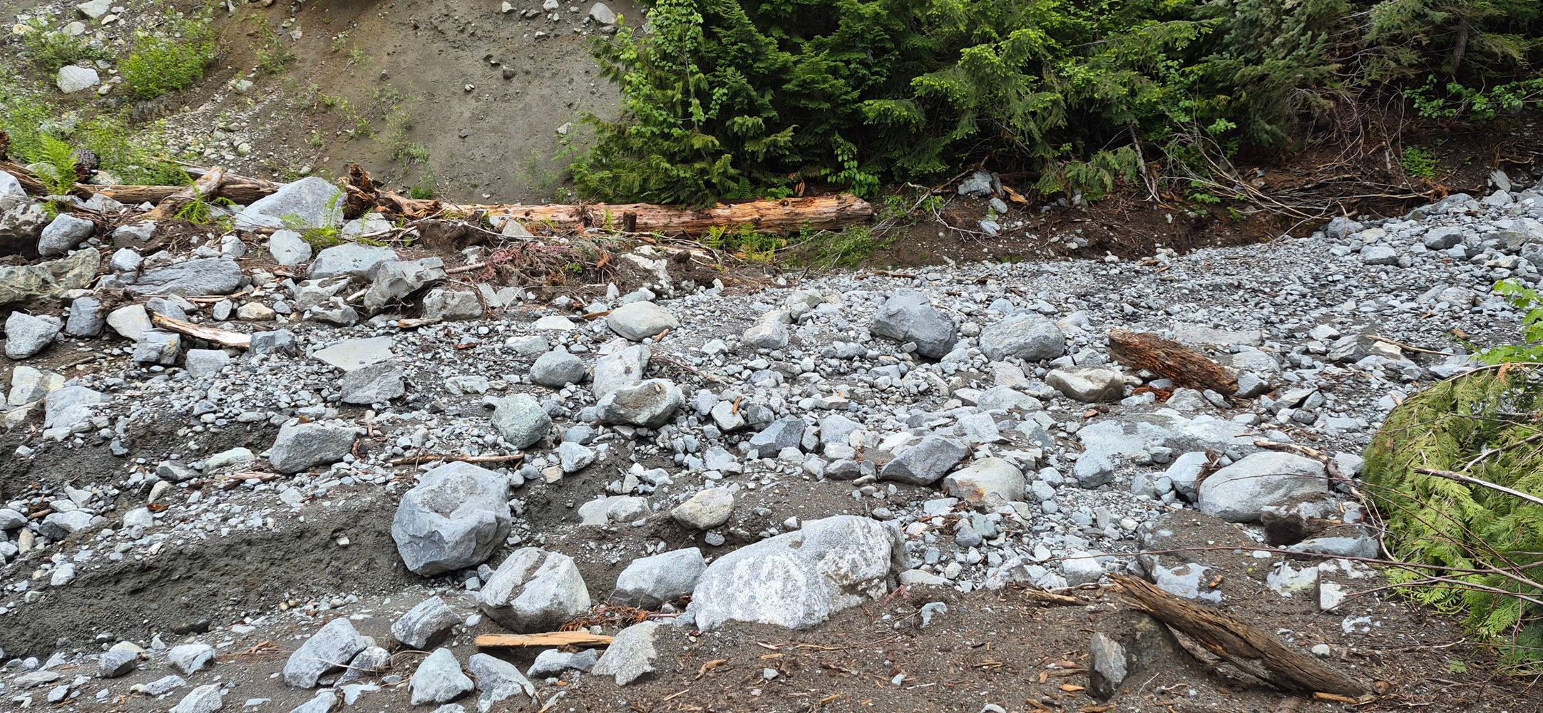
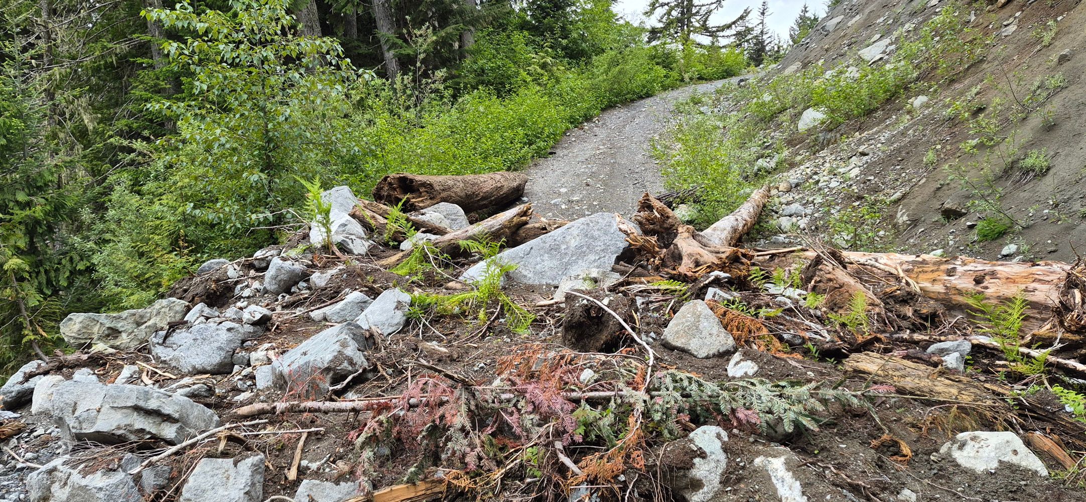
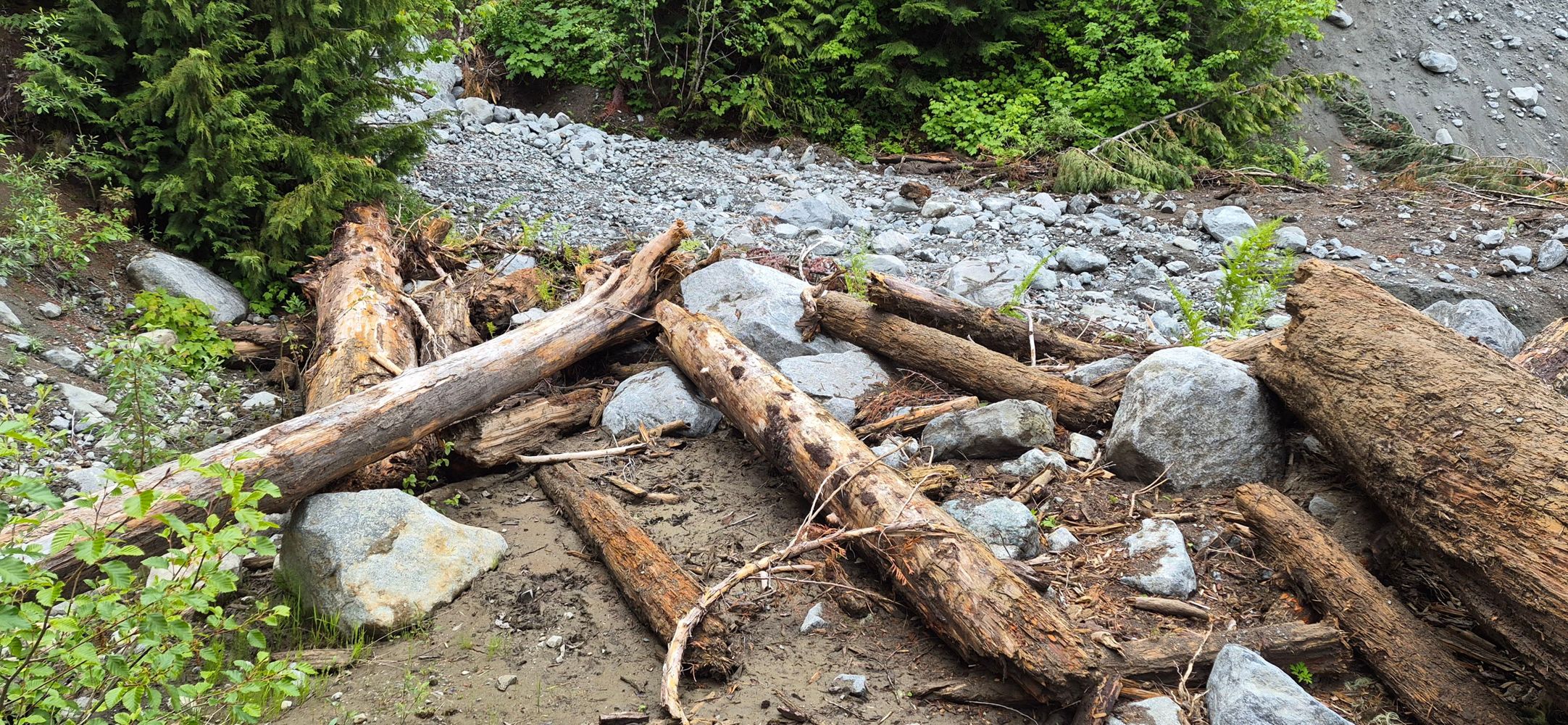
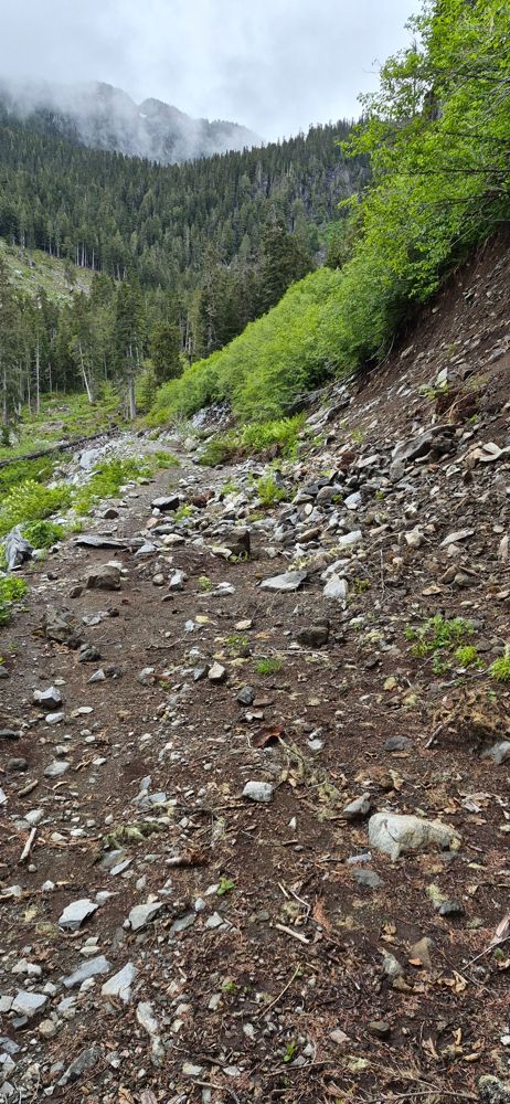
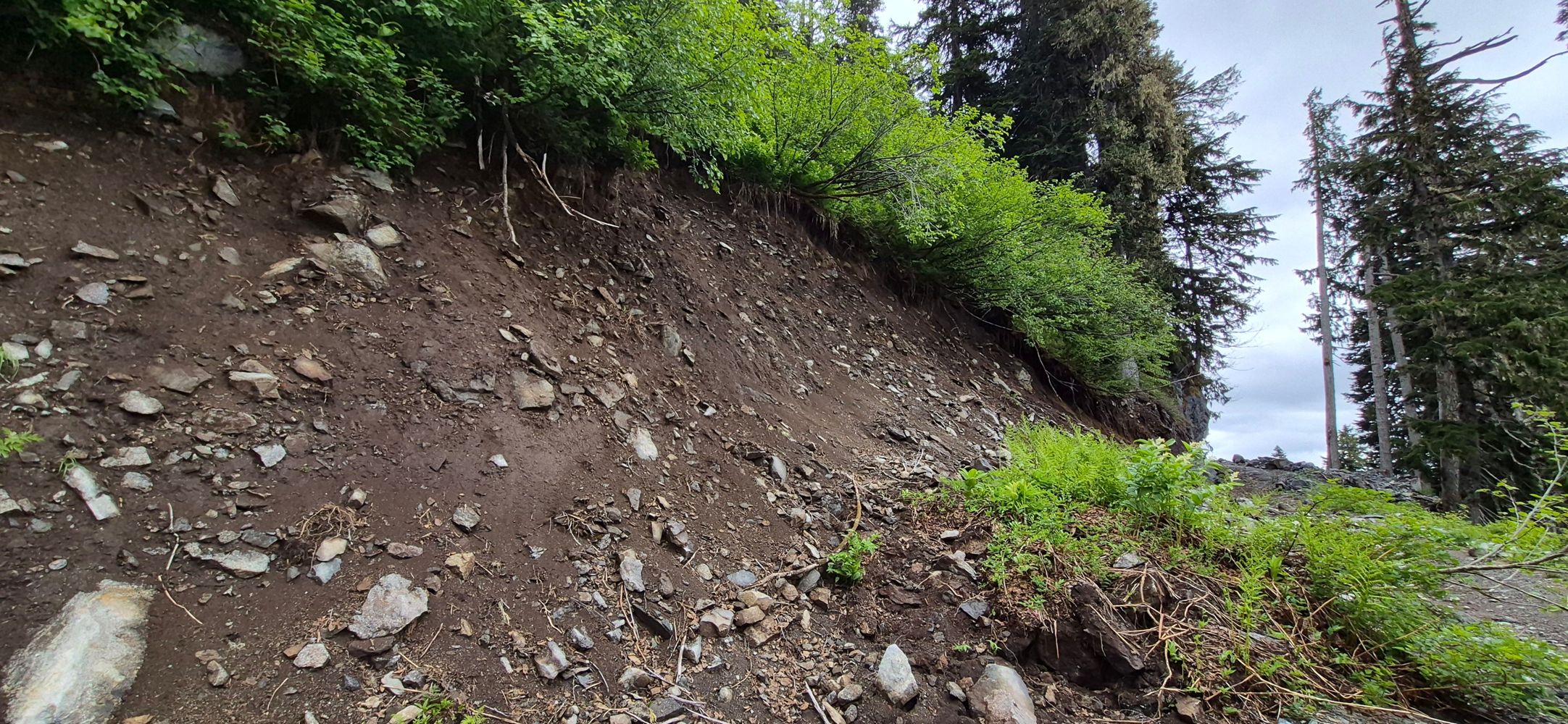
The road is washed out at about 3.8 km. 49.99571, -123.29057 . A lot of it is clearable by hand but a large truck with a winch would be needed to move...
Mike Barrass - Jun 12, 2026Nez Perce Creek Road
108d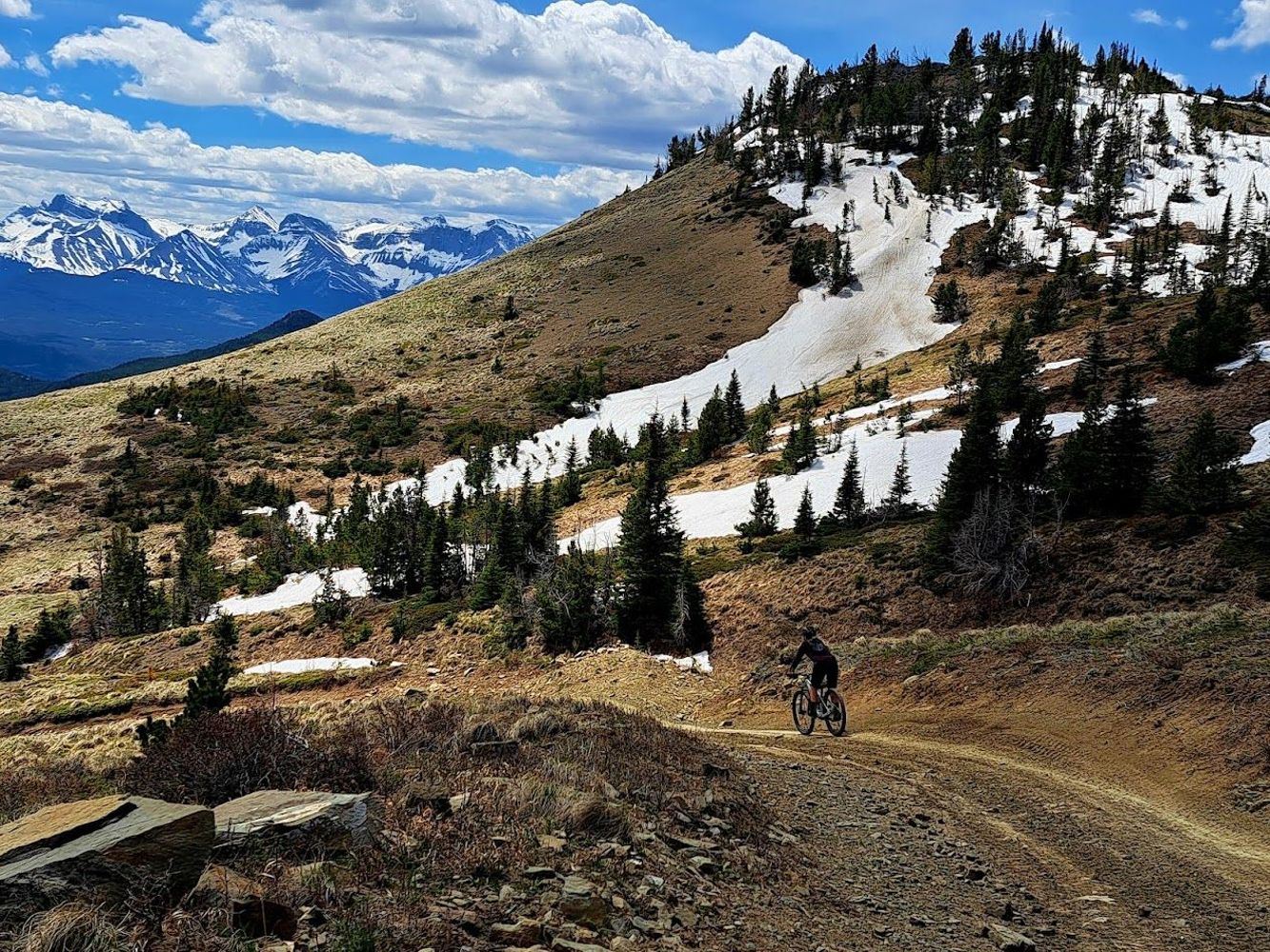
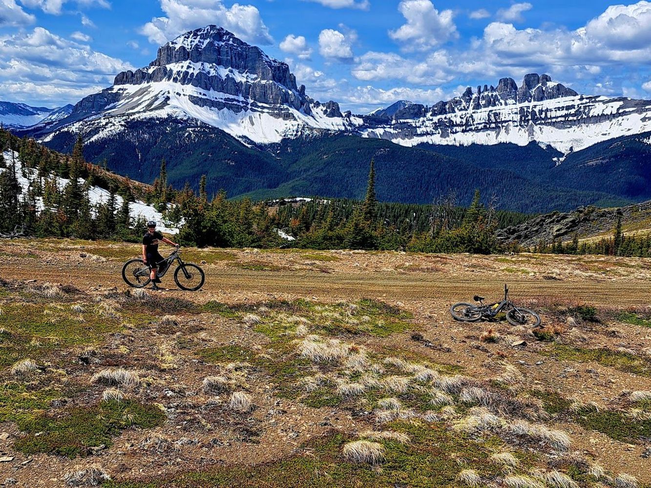
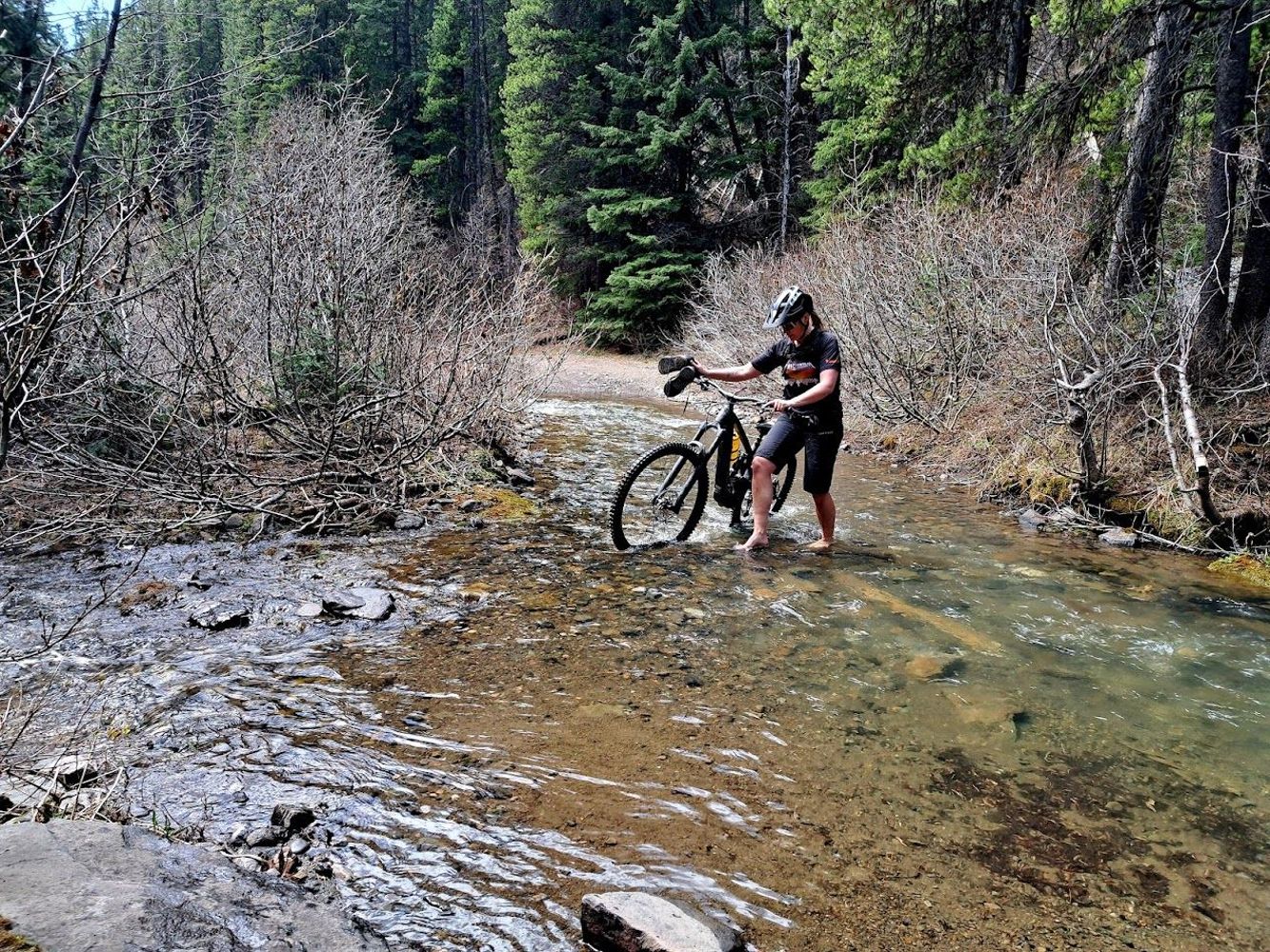
Road is gated at its start with HWY 3. We biked it to the Ma Butte Telecom Tower. Pushed bikes though Nez Perce Creek at ~7 km. Expect OHV traffic fro...
Greg Jones - Jun 12, 2026LC112
109d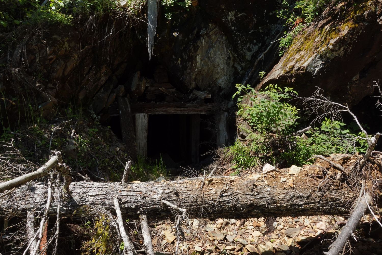
For anyone looking for the old Emancipation mine along this route, it's located just before the 1.5km mark.
Paul Lezica - Jun 11, 2026HW1872
109d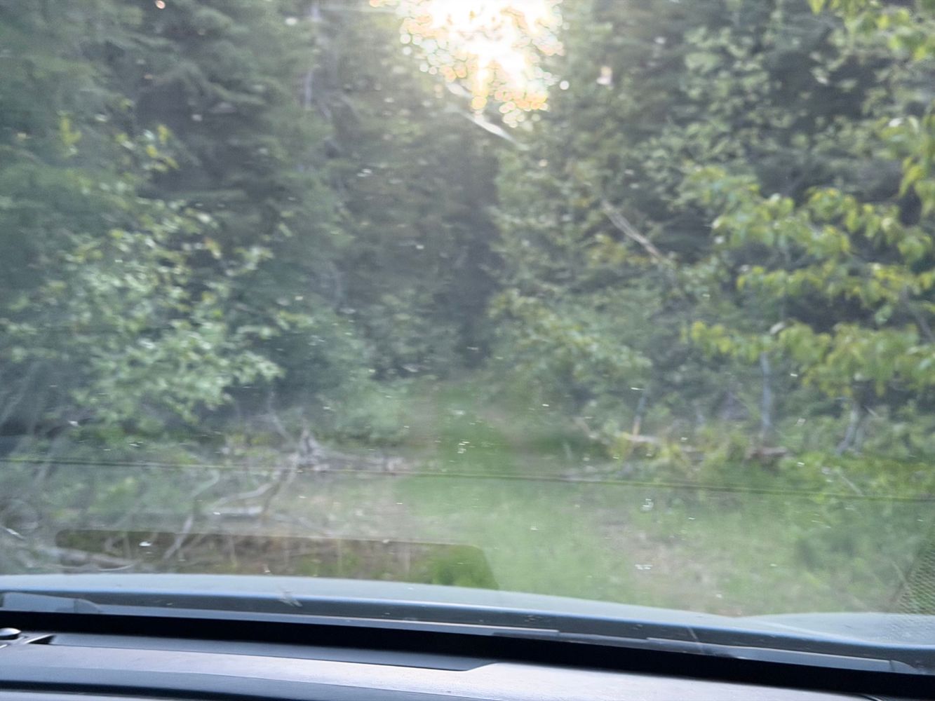
We didn't get very far due to so many fallen trees across the road. Road bed was in good condition up to this point, but overgrown.
Francis Bailey - Jun 10, 2026Ootsa Lake 2
109d
ANDREWS BAY FSR
109d
MORICE-OWEN FSR
109d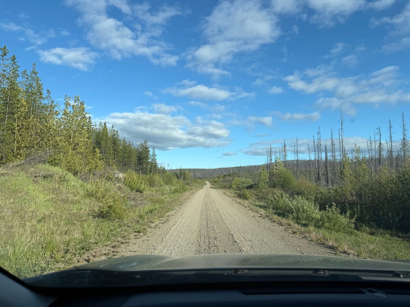
Easy driving all the way to the end. There were some signs about a washout at the end of the road but we only found some recently repaired culverts. R...
Francis Bailey - Jun 10, 2026