Road Bulletins
At about 9.5km there are fallen trees blocking the road, about less than a km further there is a very large tree across the road.
Paul Raymond - Jun 20, 2026NICKLE PLATE
99dLooks like it may have been graded some what recently. Mud/dirt seem like it was plowes not too long ago.
Stephen Bunyak - Jun 21, 2026Stave River FSR
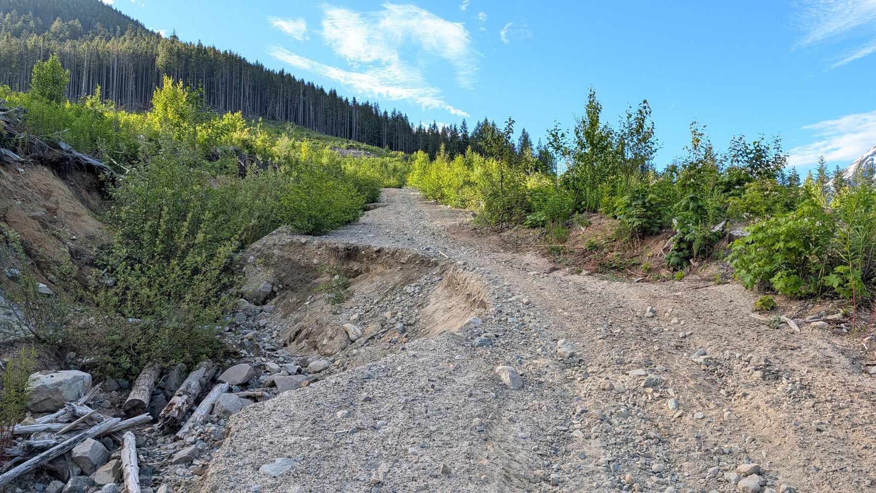
99dSame as before! Didn’t drive any further but it’s good to the bridge at 32.5km
Francis Bailey - Jun 21, 2026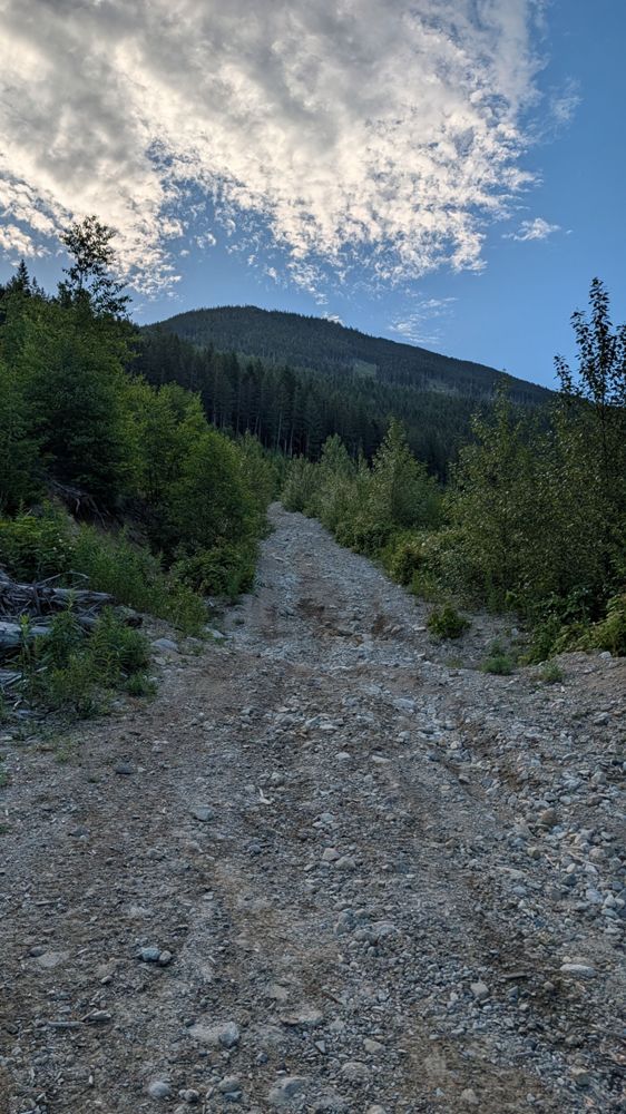
Juliet Creek FSR
99d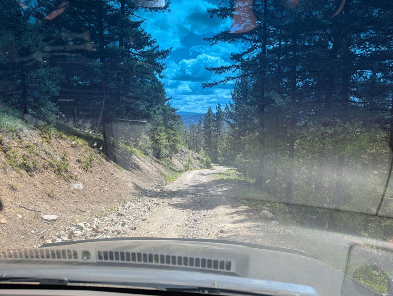
Still in decent shape for an AWD vehicle. It gets rougher around km 4 (after you pass the yellow gate) with ruts and oil pan killing rocks but still d...
Aaron Herman - Jun 21, 2026FL1500
99d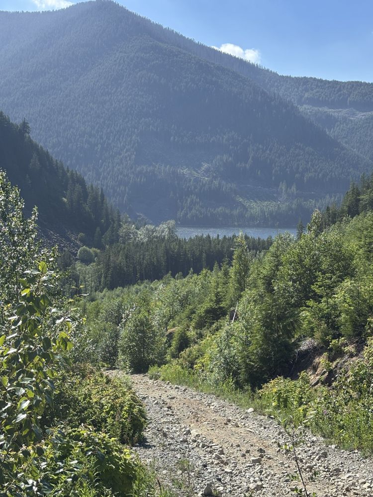
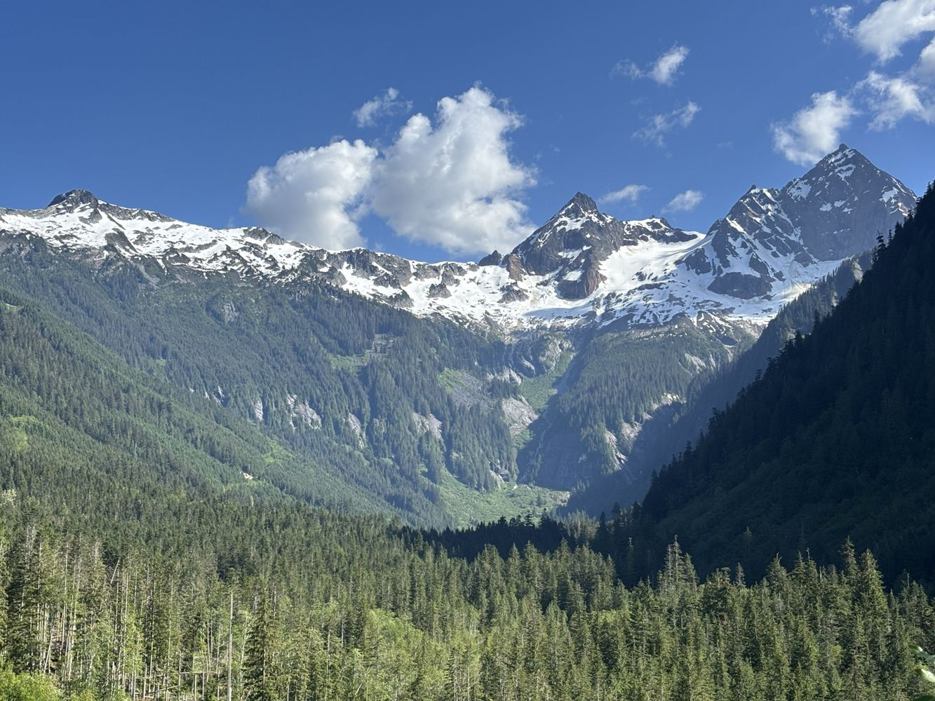
Road is degraded with loose rocks and some water bars. It is moderately steep. 4WD recommended. However, the views are amazing!
Steve Parkinson - Jun 20, 2026Jones Lake FSR
100dLAKEMAIN
100dA few deep water bars at around 1km from small washouts. I turned back at the last one because I didn’t have recovery gear with me. High clearance rec...
Steve Parkinson - Jun 20, 2026Chipmunk Creek FSR
100d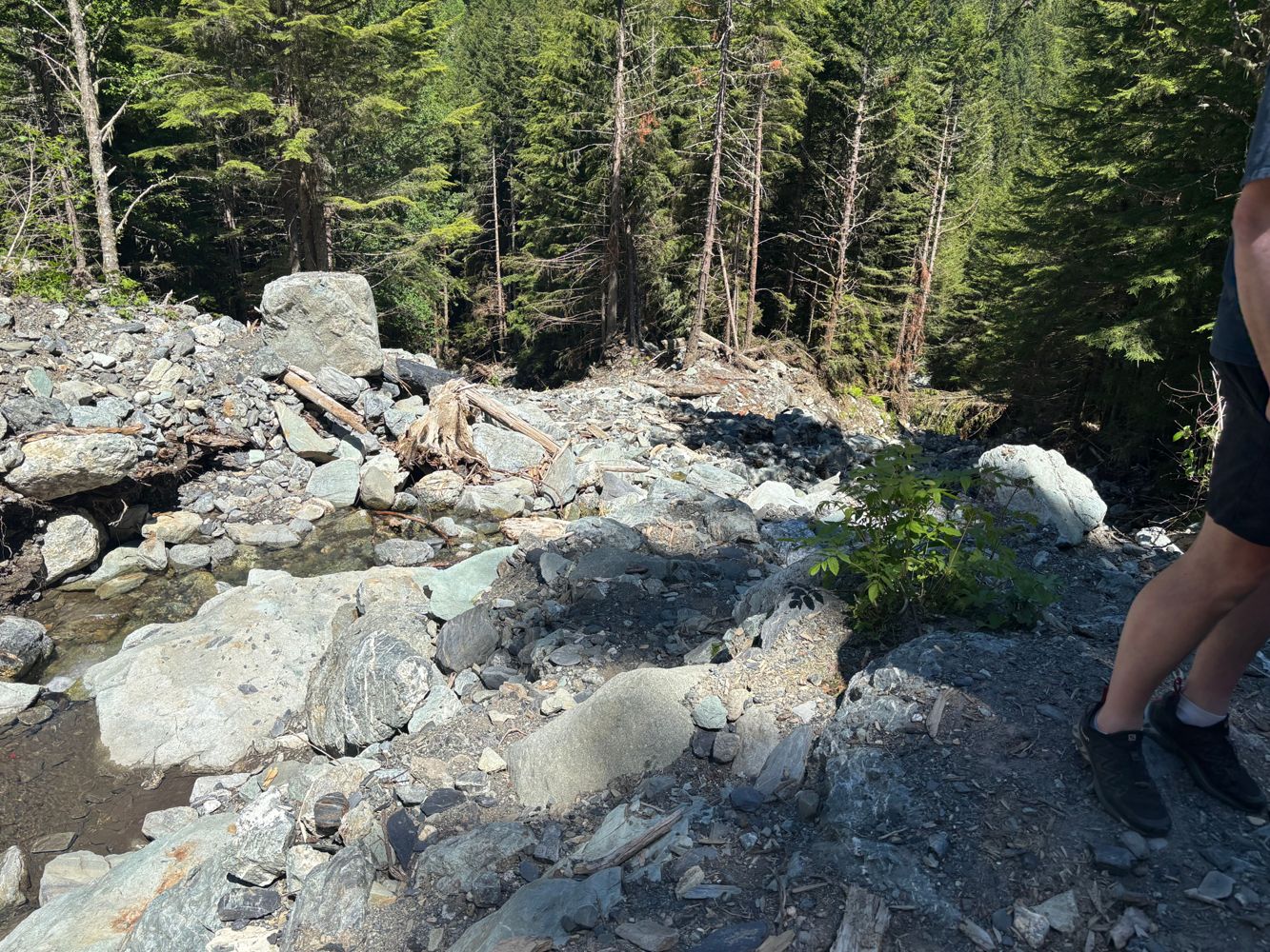
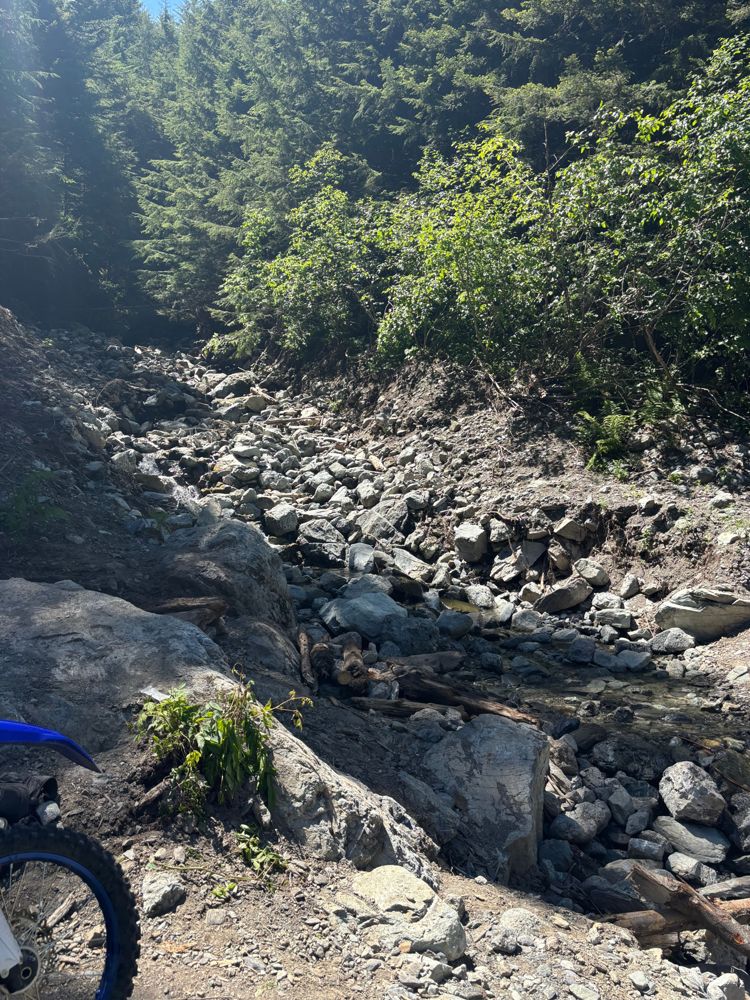
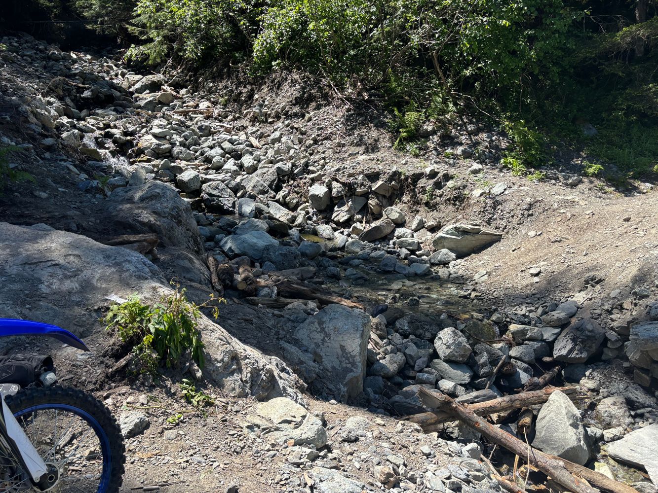
Large washout with very tricky bypass requiring short wheelbase and big tires/lift
Steve Parkinson - Jun 14, 2026FISHER CREEK
101dRough and uneven road. Steep in sections and may need 4x4 when wet.
Deactivated for caribou at 11km (0km starts at the highway)
GROUNDBIRCH
101dOil and gas industry maintaining road to 20km. Good road but slick when wet.
20km+ is rough but easily drivable. Minor erosion with silt and clay, 4...
SPUR 1
102d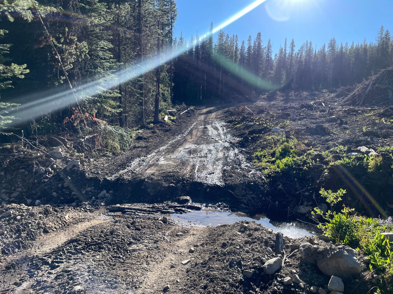
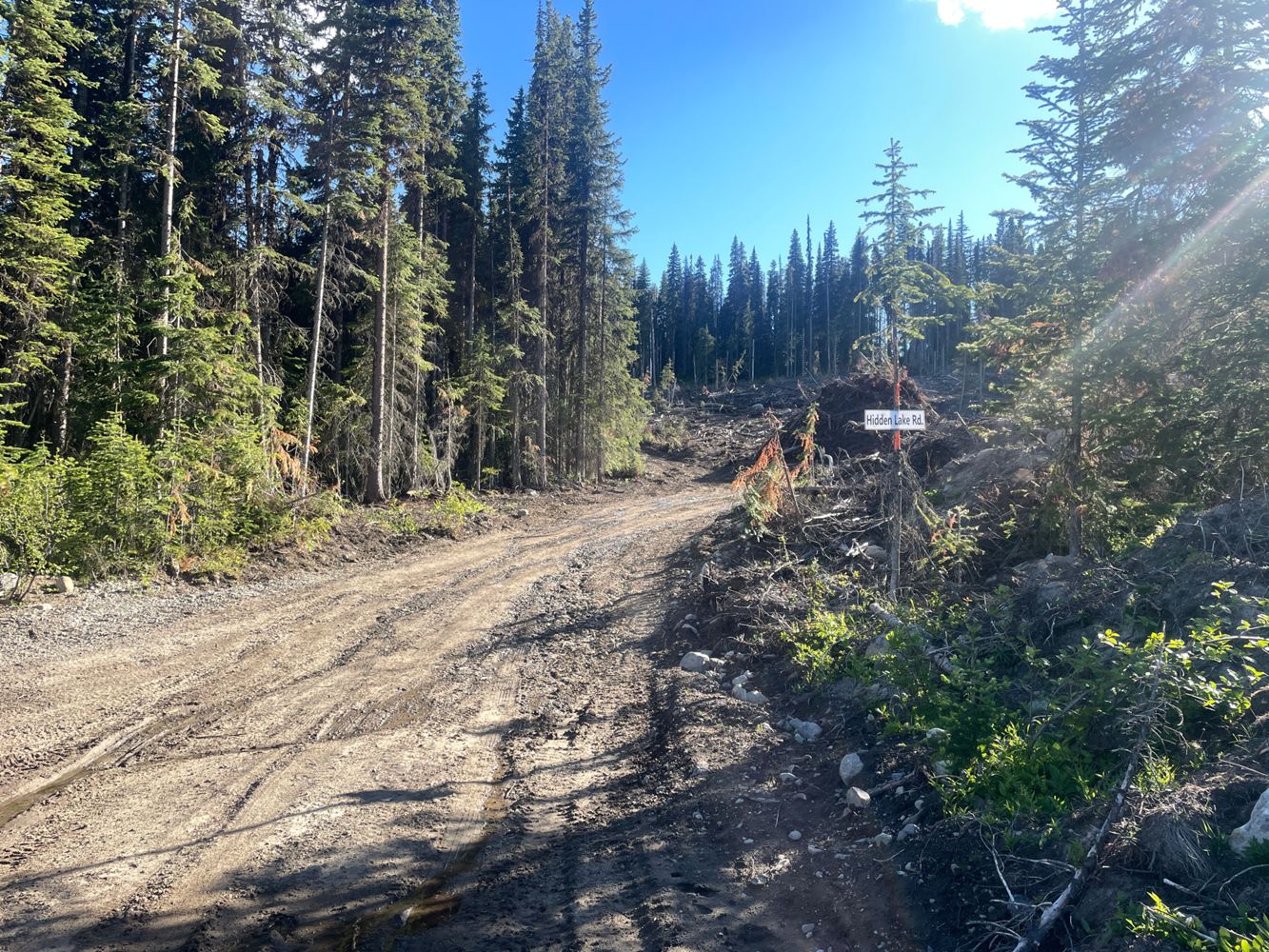
This is a combination of "Power Line Road" and "Hidden Lake Road" according to the signs. The stretch toward the lake unfortunately tore up half of th...
Paul Lezica - Jun 18, 2026Lillooet South FSR
102dGate dummy locked at km 2 but otherwise open. Very recently graded and smooth sailing for any car with medium clearance. Couple of spots where the adj...
Clint Kh - Jun 16, 2026EAST HOPE CREEK
102d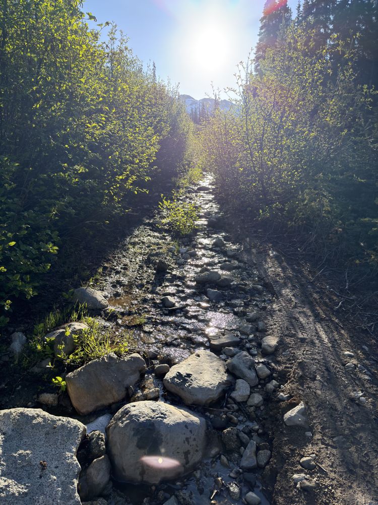
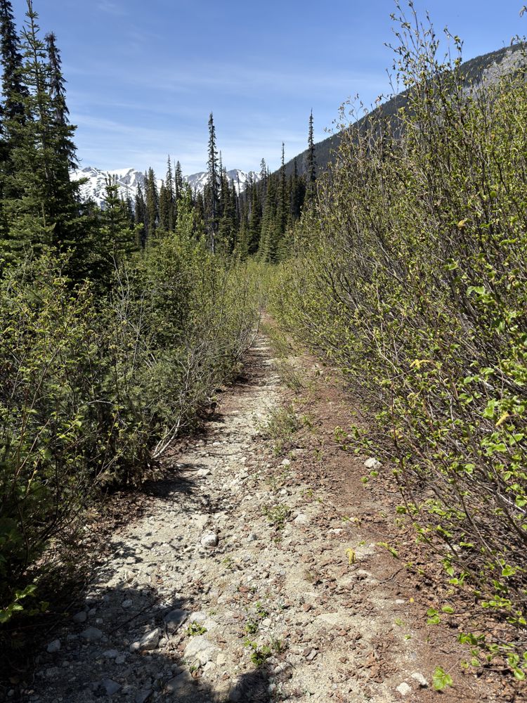
Road conditions haven't changed since the last report. The roadbed is in good shape, with only a few minor water bars.
We trimmed most of the narrow,...
A-320
102d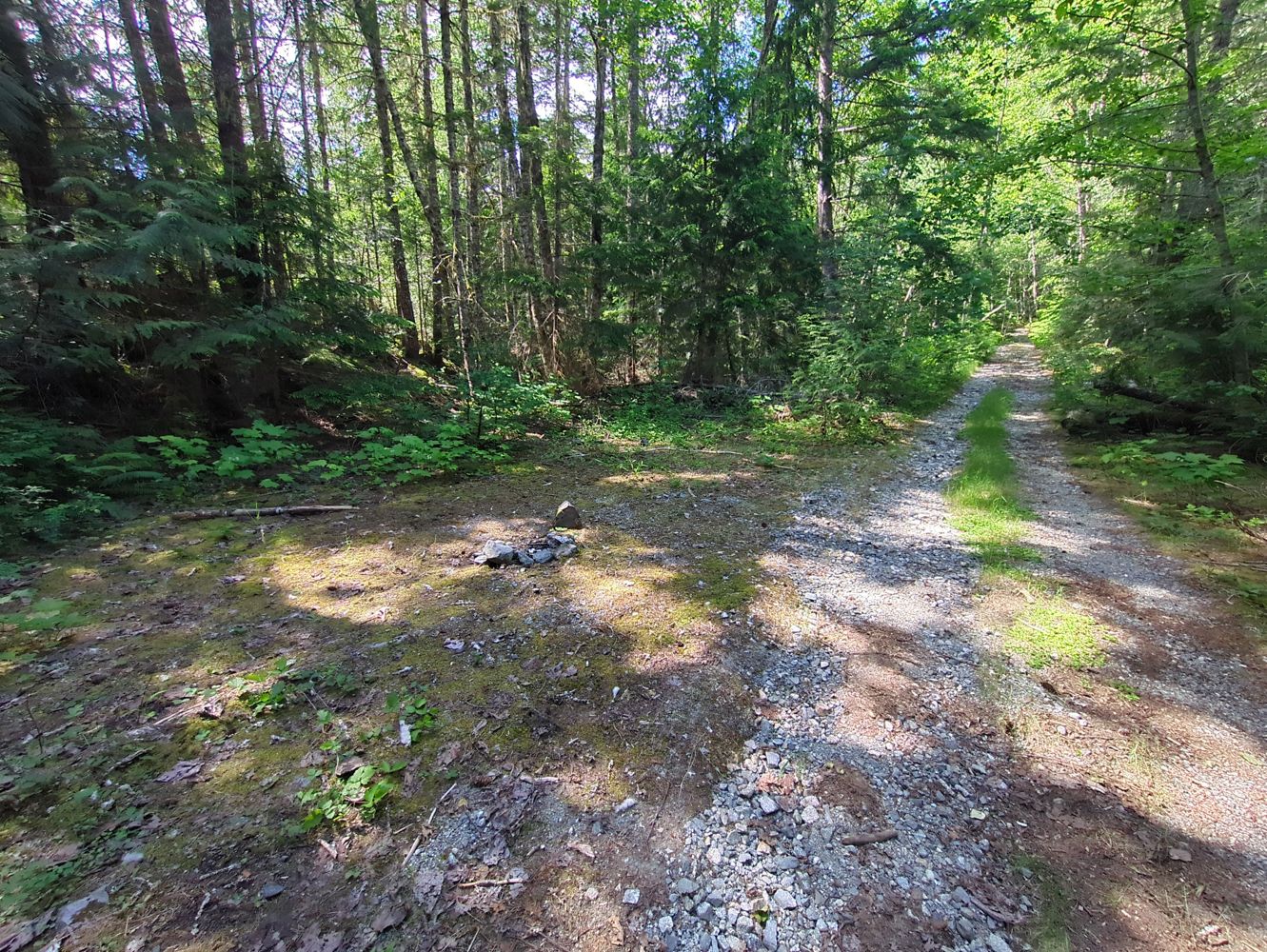
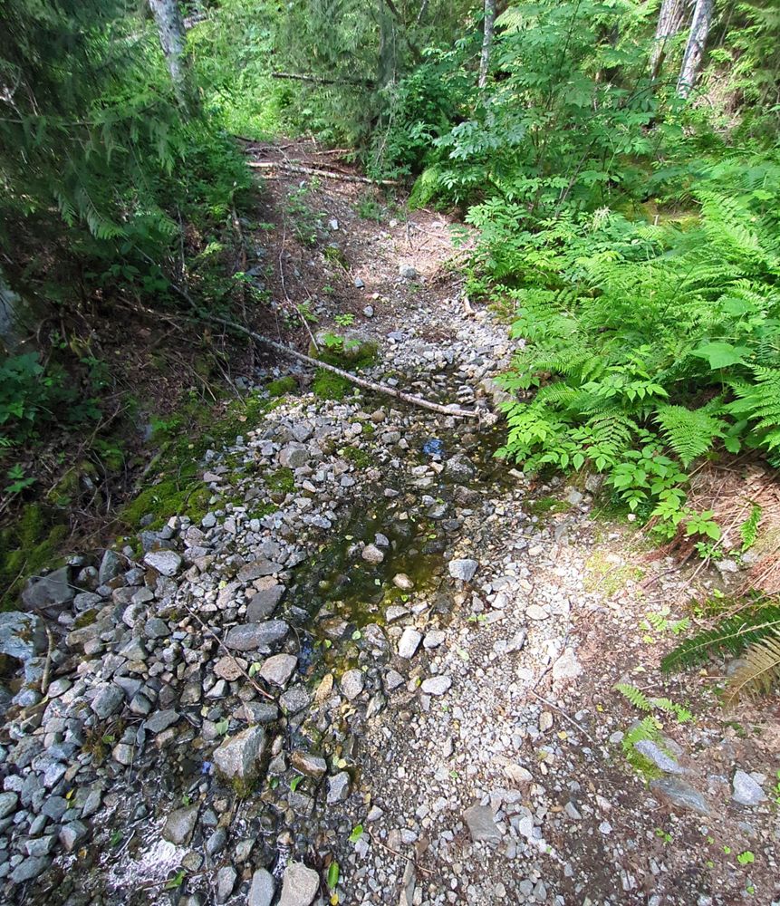
Drivable with high clearance vehicle until small washout at 49.939373, -123.337078. After that point road has numerous downed trees but is otherwise i...
OSM Editor - Jun 14, 2026BRANCH A-100
102d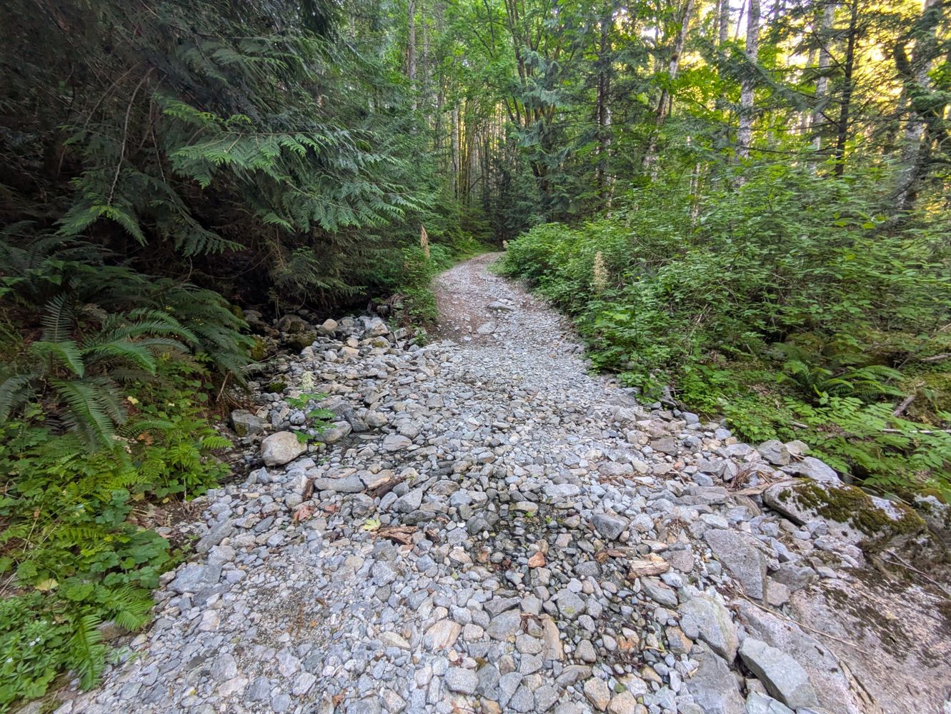
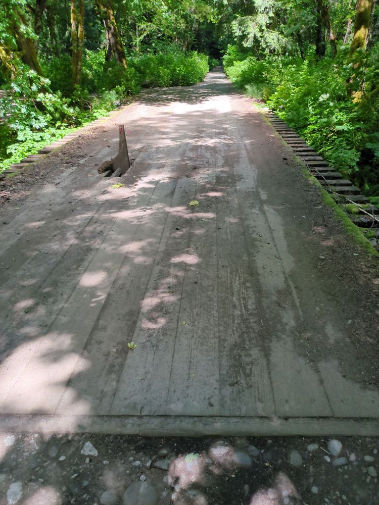
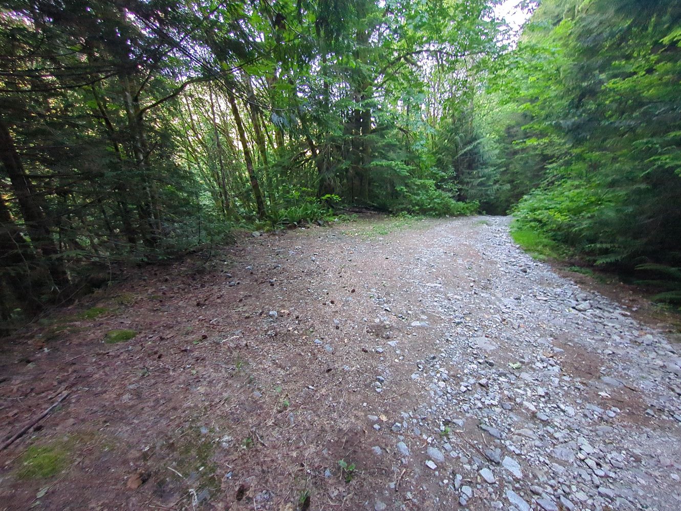
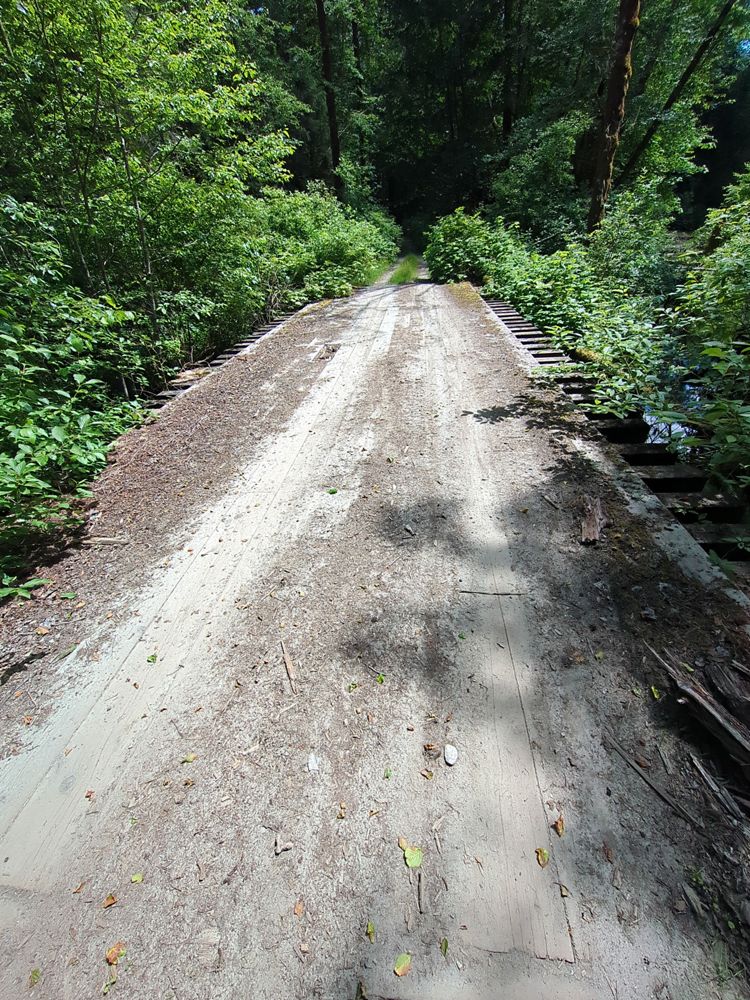
Part of the initial portion of this road crosses unmarked and vacant private property. Drivable with standard SUV until small washout of culverts at 4...
OSM Editor - Jun 14, 2026Rainy River FSR
103dDrove up to the Rainy Mountain TH. Compared to other FSRs, it’s generally quite rough. High clearance not really needed, but there are lots of chunky ...
Mackenzie Booth - Jun 17, 2026SPUR 20
103dFirst couple KMs are good, beyond that it gets little bit bumpy. Quite a few potholes and some rocks but nothing was unavoidable or impassable in a lo...
Heath Anderson - Jun 05, 2026